Rotunda
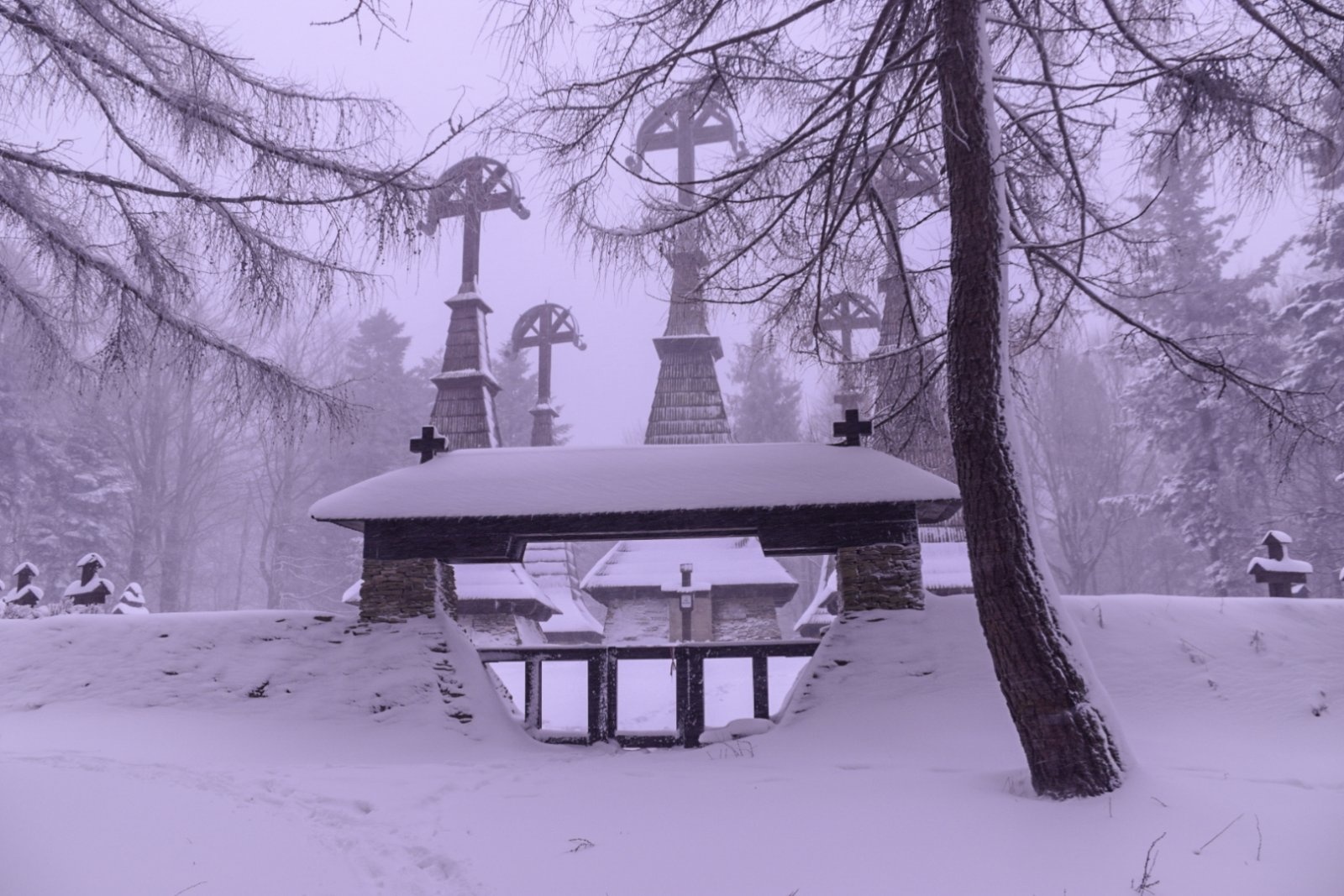
Rotunda is a 771 m hill in the Low Beskid in south-eastern Lesser Poland. It lies on a side spur that leaves the main Carpathian ridge at Jaworzyna Konieczniańska and runs north: via Dział (712 m) it descends to Rotunda and then into the fork of the Zdynia and Regetówka streams above the village of Smerekowiec. The mountain is a fairly regular dome – hence the name “rotunda” – slightly elongated to the north-east, with steep and little-dissected slopes. Today it is entirely forested.
Rotunda lies in the Uście Gorlickie municipality of Gorlice County. Regietów is about 1.5 km away, Zdynia about 3.2 km. The main reason to come here is the First World War cemetery on the summit, one of the best known in the Beskids.
How to get there / routes
Since 2000 the red Main Beskid Trail (GSB) has crossed the summit (previously it ran along the northern slopes). The black “cemetery trail” follows the same line, as do the European E3 and the Eisenach–Budapest friendship trail.
- From Regietów – red trail to the summit and on to Zdynia (Ług hamlet).
- From Zdynia (Ług) – the same trail in the opposite direction.
Official sources give no walking times; the section is short but the slopes are steep.
What you can see from the summit
The summit is wooded, so there is no wide panorama. The main sight is the cemetery itself, with its wooden towers among the trees. The dome shape of Rotunda is best seen from the Regetówka and Zdynia valleys.
Nature and history
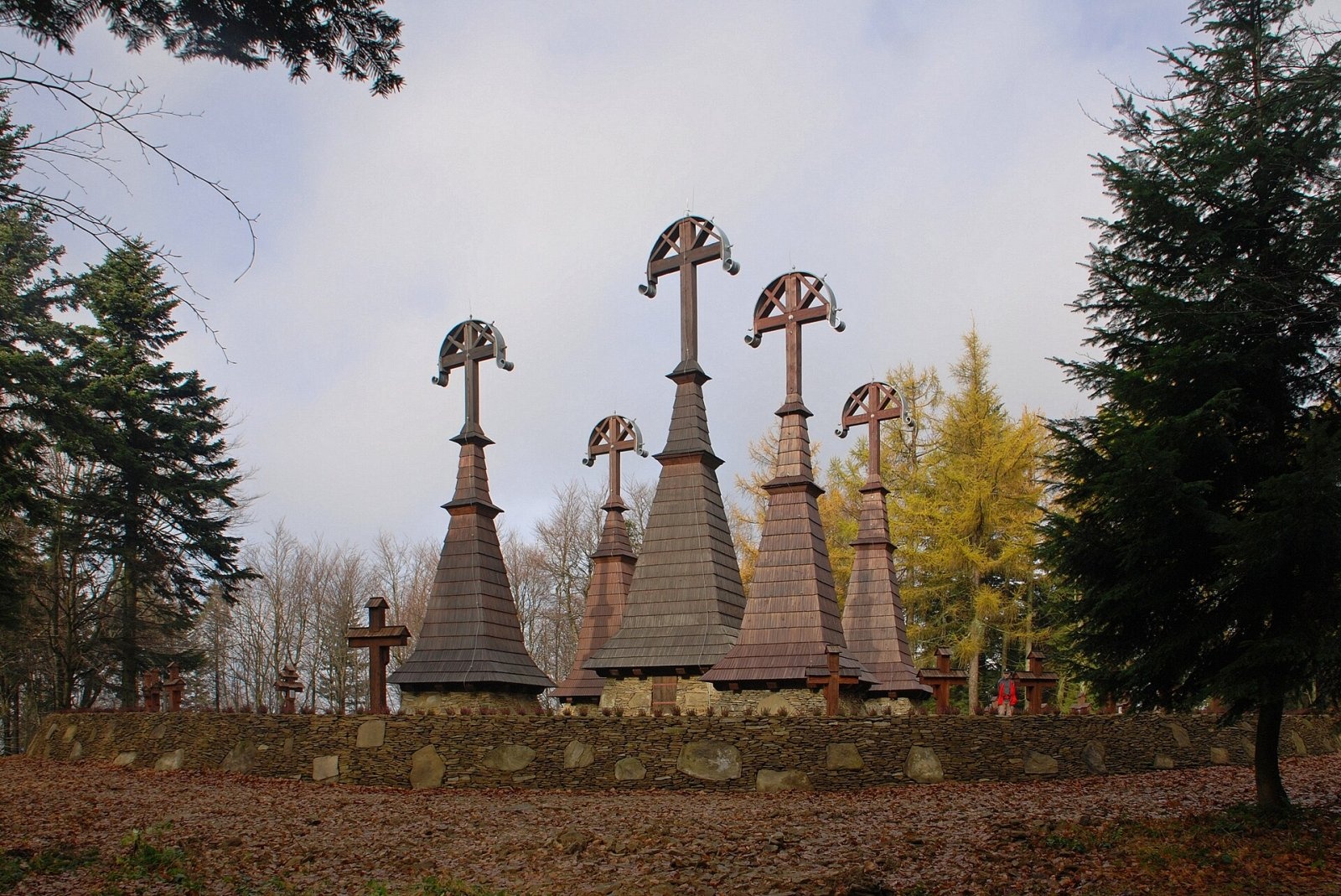
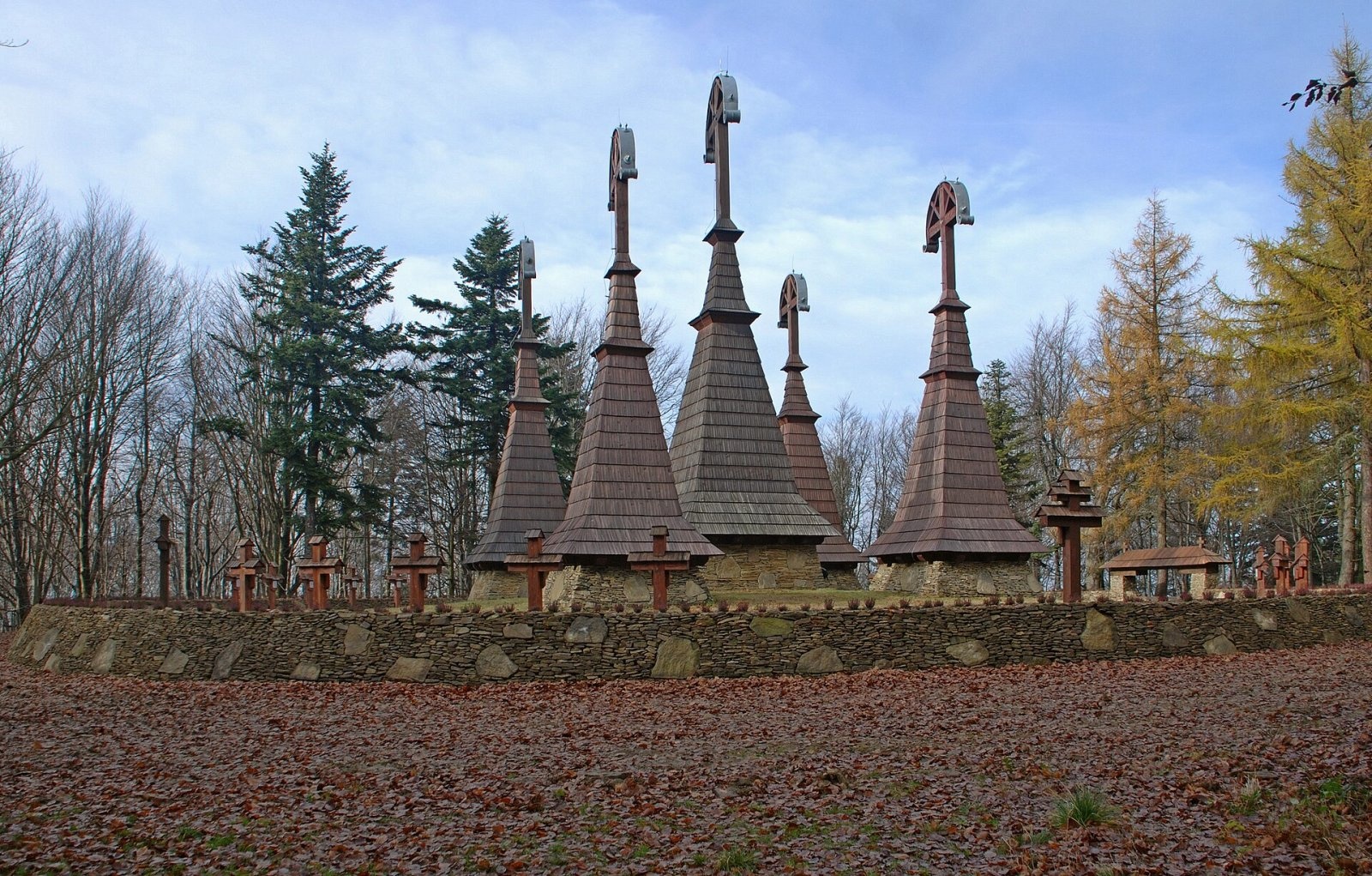
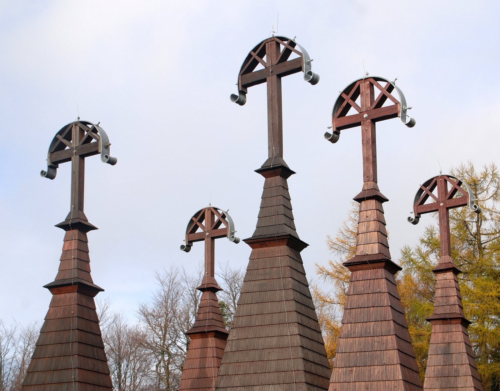
War cemetery no. 51 “Rotunda” is an Austrian First World War burial ground designed by the Slovak architect Dušan Jurkovič. It holds 42 Austro-Hungarian and 12 Russian soldiers killed in February and March 1915. The cemetery is circular and enclosed by a stone wall. It originally had five tall wooden tower-crosses in Lemko style: a central one 16 m high and four side towers of 12 m.
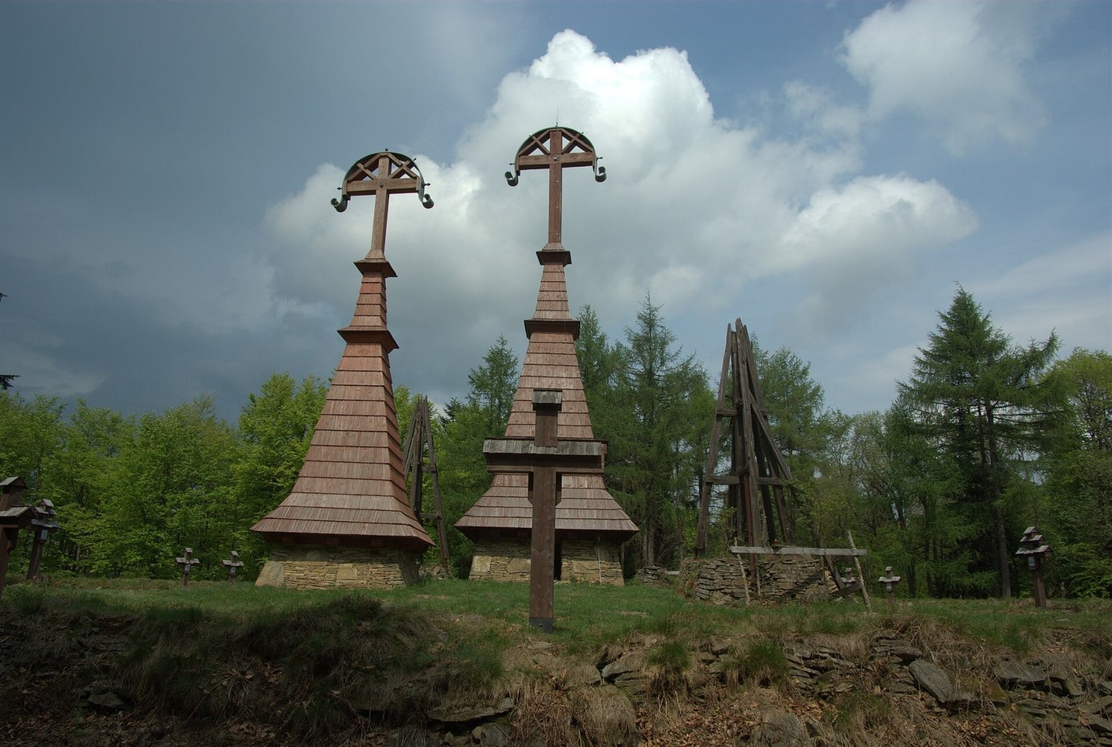
In May 1979 all the towers still had their cladding. In 1980 the cemetery was entered in the register of monuments, but no conservation work began; by then only fragments of three of the five towers survived. In 1995, for the 80th anniversary of the Gorlice offensive, clearing and securing the site began with the help of the Austrian Black Cross. On the initiative of the Warsaw Student Club of Beskid Guides (SKPB), the Social Committee for the Reconstruction of the War Cemetery on Rotunda was founded. In 2004 24 new grave crosses and name plates were made; two towers were rebuilt in 2008 and 2009, another in 2014 and the last two in 2016. The cemetery is now fully reconstructed. A stone plaque bears a Maltese cross and a German quatrain by Hans Hauptmann.
At the foot of the mountain, in Regietów, SKPB Warszawa runs a student tent base; its members and supporters did most of the work to restore the cemetery.
Safety, season and rules
Rotunda is a low wooded hill accessible all year. The path to the summit is steep: slippery after rain, and in winter you will need boots with good tread. The cemetery is a monument and a burial place – behave respectfully and do not climb the towers or the wall. There is no water or shelter on the summit, and mobile coverage in the valleys is weak.
This part of the Low Beskid is covered by the Krynica group of the mountain rescue service GOPR: call 985 or +48 601 100 300, or 112; installing the «Ratunek» app is recommended.
Interesting facts
- The central tower of the cemetery is 16 m tall, the four side towers 12 m each.
- The reconstruction of the cemetery took more than twenty years, from 1995 to 2016.
- The Main Beskid Trail was routed over the summit only in 2000.
Photos: Henryk Bielamowicz, CC BY-SA 4.0; Henryk Bielamowicz, CC BY-SA 4.0; Henryk Bielamowicz, CC BY-SA 4.0; Piotr Wieczorek, CC BY-SA 3.0 pl; Jerzucha62, CC BY-SA 4.0 — Wikimedia Commons.
Getting there from Ukraine
Border crossings
- Krakovets – Korczowa — road, 24/7
- Shehyni – Medyka — road, 24/7 Pedestrian crossing is not confirmed by the Ukrainian border service — check dpsu.gov.ua before the trip.
- Smilnytsia – Krościenko — road, 24/7
- Hrushiv – Budomierz — road, 24/7
- Mostyska – Przemyśl (rail) — rail, 24/7
By car
Lviv – Krynica-Zdrój ≈338 km, ≈5 h without queues: M-10 to Krakovets → Krakovets – Korczowa checkpoint → toll-free A4 via Rzeszów to Tarnów (≈163 km) → DW977 towards Gorlice → DW981 to Krynica (≈260 km, ≈3 h 35 min from the border). Via Smilnytsia – Krościenko the distance is about the same (≈335 km) but the mountain roads are slow (≈7 h 40 min): DK84 – Sanok – DK28 via Krosno and Gorlice.
Checked 23.10.2026; border crossing hours and timetables change — check before you travel.
Location on the map
Water and shelter nearby
- Drinking water below Horbek1.3 km · Not verified · 537 m
- Spring below Horbek1.3 km · Not verified · 534 m
Comments
Trails nearby
All trails HardMulti-dayMarkedMain Trail of BeskidyElevation profile309–1 723 m499.9 kmascent 19 519 munder 1 km from Rotunda
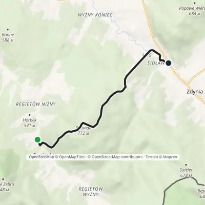 EasyOne-dayMarkedRegietów ŁugElevation profile471–772 m5.7 kmascent 248 m≈ 2 h walkingunder 1 km from Rotunda
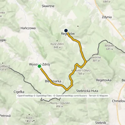 ModerateOne-dayMarkedWysowa-Zdrój RegietówElevation profile516–788 m13.6 kmascent 354 m≈ 4 h walking1.3 km from Rotunda
Nearby attractions
 PeakBeskidekaltitude 685 m3.9 km from RotundaBeskidek (Slovak Beskydek) is a 685 m wooded summit in the Low Beskid on the Polish–Slovak border, above the village of Konieczna.
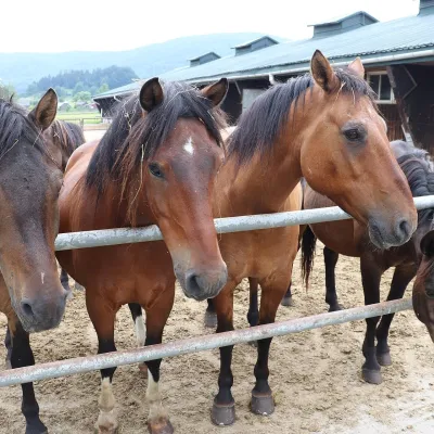 Horse ridingGładyszów Hucul Horse Stud, Regietów5.4 km from RotundaThe "Gładyszów" Hucul Horse Stud (Stadnina Koni Huculskich „Gładyszów”) in the Lemko village of Regietów is one of the largest places in the world where Hucul ponies...
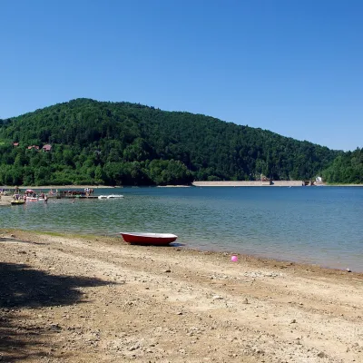 LakeKlimkówka Reservoir (Lake Klimkówka)12 km from RotundaThe Klimkówka Reservoir (Zalew Klimkówka, commonly called Lake Klimkówka) is an artificial lake on the Ropa river in the Beskid Niski, near the villages of Klimkówka,...
Craft nearby
All craft places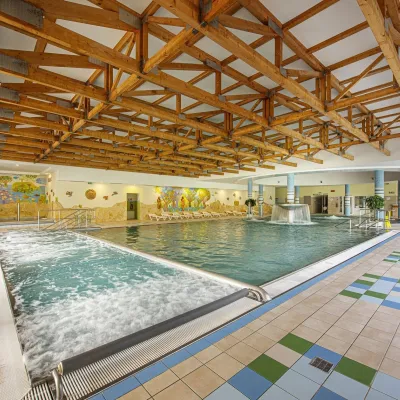 Water parks & thermal poolsBardejovské Kúpele: Wellness Spa Ozón and summer pool16 km from RotundaBardejovské Kúpele is one of Slovakia’s oldest spas, a part of the town of Bardejov about 5 km from its centre, in a valley under the Magura massif that shelters it...
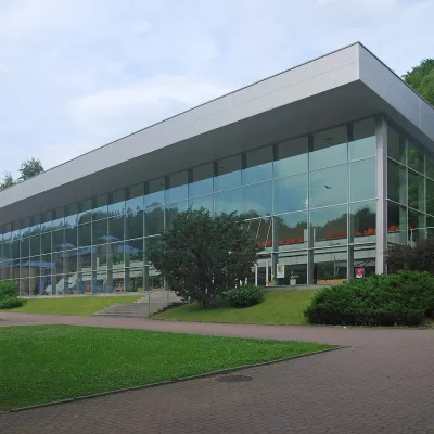 Water parks & thermal poolsKrynica-Zdrój pump rooms: tasting the mineral waters21 km from RotundaKrynica-Zdrój grew up around its mineral springs, and the best way to feel the spa is to walk round its pump rooms and taste the local waters.
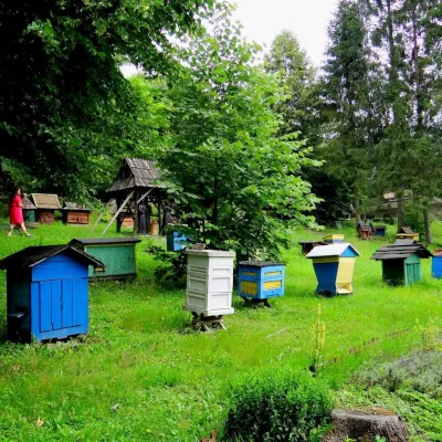 Honey & meaderiesBarć Apiary in Kamianna, the Beekeepers' Village22 km from RotundaThe Barć ("Bee Tree") apiary in the Lemko village of Kamianna, between Krynica-Zdrój and Nowy Sącz, is one of Poland's best-known beekeeping places, and Kamianna is...
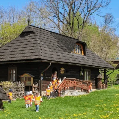 Honey & meaderiesSądecki Bartnik Beekeeping Farm, Stróże29 km from RotundaSądecki Bartnik in the village of Stróże near Grybów is one of Poland's best-known beekeeping farms. The family business was founded in 1973 by Anna and Janusz...
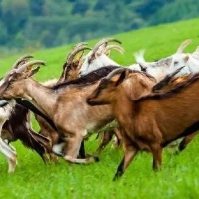 Cheese dairies & pasturesFIGA Organic Goat Cheese Farm, Mszana near Dukla31 km from RotundaThe FIGA organic family farm in the Lemko village of Mszana near Dukla is one of Poland's oldest goat cheese dairies.
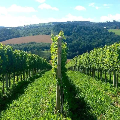 Wine & tastingsChodorowa vineyard near Grybów: tour and wine tasting31 km from RotundaThe Chodorowa vineyard (Winnica Chodorowa) lies in the hills of the Rożnów Foothills (Pogórze Rożnowskie), a few kilometres from the small town of Grybów in the...
