Watrisko
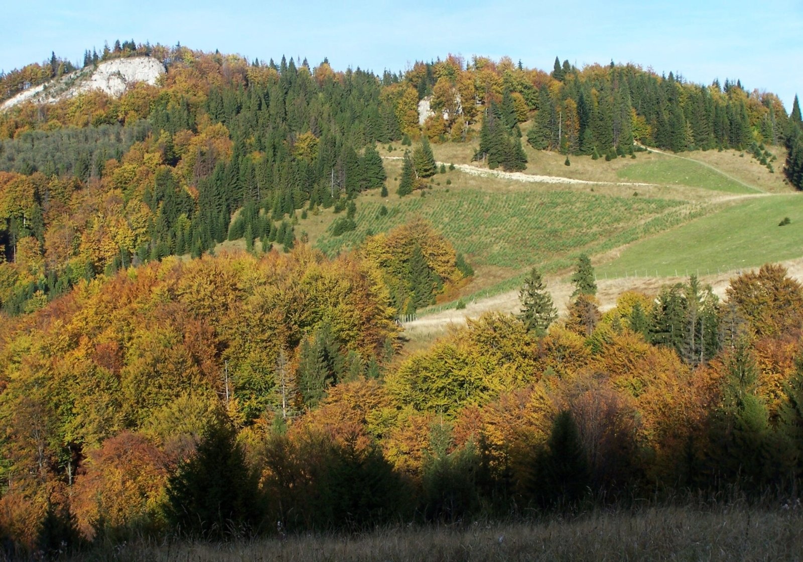
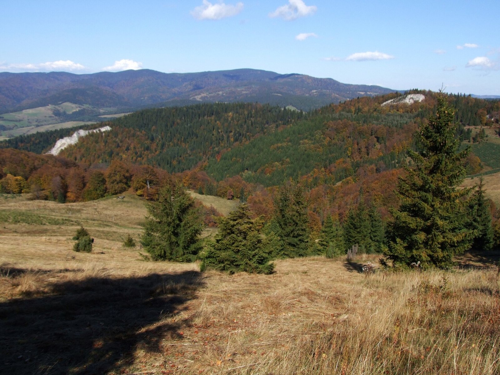
Watrisko is a rocky 960 m summit in the Small Pieniny (Małe Pieniny), the eastern part of the Pieniny range. It stands between Smerekowa and Wierchliczka but, unlike them, it is not on the main ridge: it lies about 150 m north of it, entirely in Poland. Administratively it belongs to the village of Jaworki (Szczawnica municipality, Nowy Targ County, Lesser Poland Voivodeship). The hamlet of Kornaje is about 2 km away, the centre of Jaworki 3.1 km and the Slovak village of Litmanová 3.5 km. Wierchliczka is less than a kilometre to the east, and Wysokie Skałki, the highest summit of the Pieniny, about 1.8 km to the west.
A small side ridge with the tops of Góra Repowa and Skalskie runs north-west from Watrisko; the massif is drained by the Skalski Potok and Zimna Studnia streams. The eastern and northern slopes are wooded, while on the west the summit ends in an almost vertical limestone wall 20–30 m high, a white patch easily seen from the surrounding pastures.
How to get there / routes
The main ridge of the Small Pieniny carries the blue-marked trail (Tarnów – Wielki Rogacz): from the Pieniny Road via Szafranówka, Łaźne Skały, Cyrhle, Wysoki Wierch, Durbaszka, Wysoka and Wierchliczka to the Rozdziela pass and Przełęcz Gromadzka in the Sądecki Beskids. It does not cross the summit itself but passes east of it through a saddle in the main ridge, from which the top is only a few minutes' walk away. According to OSM, the Slovak long-distance route Via Slovakia follows the same ridge. The nearest starting points are Jaworki and the Biała Woda valley; from the Rozdziela pass (803 m), 1.7 km to the east, a yellow trail climbs to the ridge from Jaworki.
The view from the summit
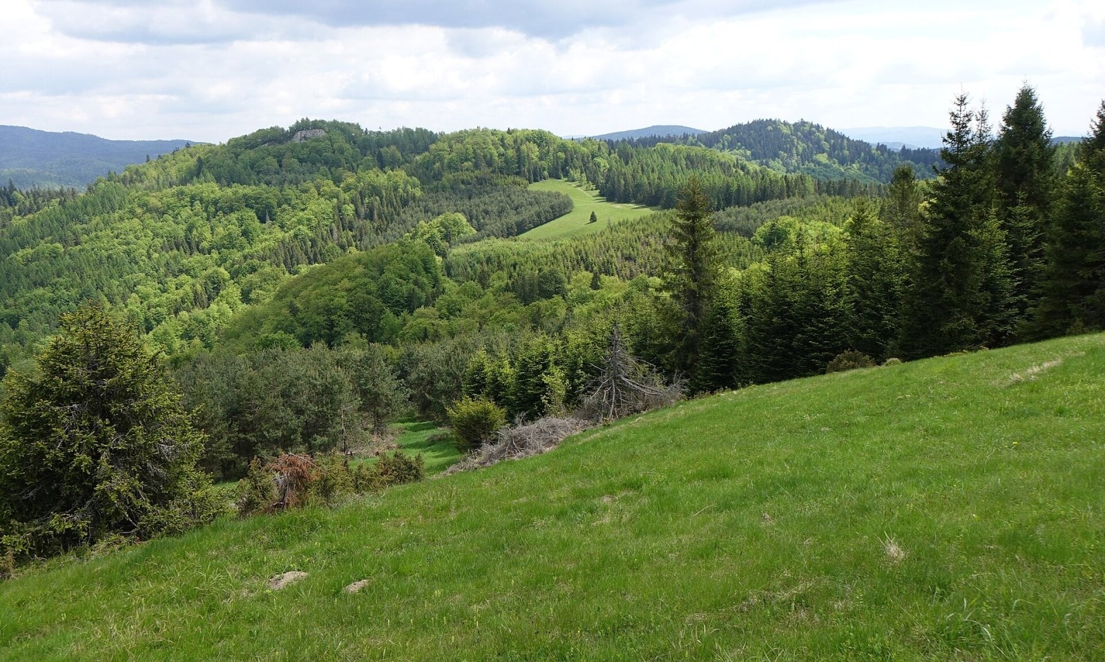
The rocky top looks out over the Pieniny, the Tatras and the wooded valley below with the Zaskalskie-Bodnarówka nature reserve. A pleasant glade just north of the summit offers a wide panorama; Polish sources note that it is being artificially afforested, so the views may narrow over the years.
Nature and history
The glade below Watrisko is a remnant of the fields of the vanished village of Biała Woda. From the second half of the 14th century Vlach herders grazed these hills; later a village under Vlach law grew up here, whose Rusyn (Lemko) inhabitants lived from herding and gradually cleared the forest for fields. Biała Woda was known for its tinkers, who mended clay pots with wire and travelled with their trade as far as Warsaw and Kyiv. In 1931 the village had 110 farms and 494 inhabitants. In 1947, during Operation Vistula, the people were deported and the houses burned; only one house in the former hamlet of Kornaje and a small masonry chapel at the entrance to the reserve survived.
Today the former fields are used for "cultural grazing" of sheep and cattle. The Biała Woda landscape reserve was created in the stream valley in 1963, and since 1961 the 19-hectare Zaskalskie-Bodnarówka reserve has protected the forest and warmth-loving vegetation on the limestone rocks of the Skalski Potok valley below Watrisko; eagle owls nest in its woods. There is no marked trail through it, and walking through requires permission from the Krościenko forest district.
Safety, season and rules
Watrisko lies outside the Pieniny National Park, so access is free, but the rules of the nature reserves and of the Natura 2000 site "Małe Pieniny" apply: do not cut across protected areas and keep away from the edge of the rock wall. The open pastures of the Small Pieniny offer no shelter from wind and thunderstorms, and in fog it is easy to lose the waymarks. The ridge can be walked all year; in winter you often have to break trail.
The Pieniny are covered by the mountain rescue service GOPR (Podhale group): call 985 or +48 601 100 300, or 112; installing the "Ratunek" app is a good idea. Across the border, on the Slovak side of the ridge, call HZS on 18 300 (+421 18 300) or 112.
Interesting facts
- Polish sources give three different heights for Watrisko: 960, 974 and 977 m.
- From the pastures above Biała Woda you can see the Pieniny, the Tatras, the Sądecki Beskids, the Gorce and the Slovak mountains.
Photos: Jerzy Opioła, CC BY-SA 2.5; Jerzy Opioła, CC BY-SA 3.0; Jerzy Opioła, CC BY-SA 4.0 — Wikimedia Commons.
Getting there from Ukraine
Border crossings
- Krakovets – Korczowa — road, 24/7
- Shehyni – Medyka — road, 24/7 Pedestrian crossing is not confirmed by the Ukrainian border service — check dpsu.gov.ua before the trip.
- Smilnytsia – Krościenko — road, 24/7
- Hrushiv – Budomierz — road, 24/7
- Mostyska – Przemyśl (rail) — rail, 24/7
By car
Lviv – Szczawnica ≈384 km, ≈5 h 25 min without queues: M-10 → Krakovets – Korczowa → A4 to Brzesko (≈198 km) → DK75 to Nowy Sącz → DW969 via Stary Sącz and Łącko to Krościenko nad Dunajcem → Szczawnica. ≈306 km, ≈4 h from the border.
Checked 23.10.2026; border crossing hours and timetables change — check before you travel.
Location on the map
Water and shelter nearby
- Spring below Watrisko470 m · Not verified · 902 m
- Spring below Vysoké Skalky / Wysoka1.7 km · Not verified · 886 m
- Biała Woda Cabin1.9 km · Not verified · 644 m
- Spring under Šitnik2.2 km · Not verified · 756 m
- Spring below Homole2.3 km · Not verified · 701 m
- Hut below Grúnik / Syhła2.9 km · Not verified · 917 m
Comments
Trails nearby
All trails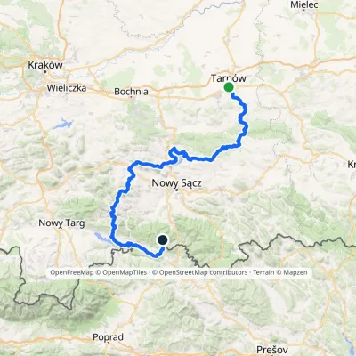 HardMulti-dayMarkedTarnów Wielki RogaczElevation profile206–1 211 m191.5 kmascent 6 941 munder 1 km from Watrisko
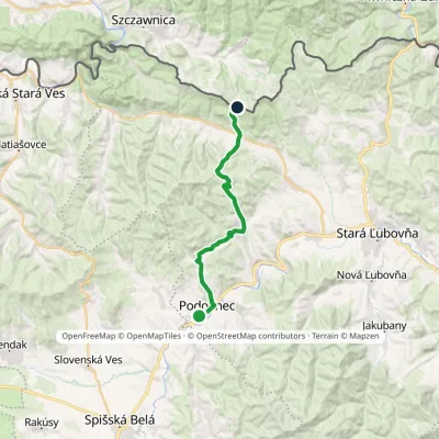 ModerateTwo-dayMarkedVyšné Ružbachy, spa JaworkiElevation profile565–1 000 m20.2 kmascent 762 m≈ 6.5 h walking1.4 km from Watrisko
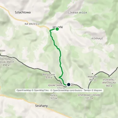 EasyOne-dayMarkedJaworki Korbalowa Pass/Stráňanské SaddleElevation profile559–961 m4.2 kmascent 393 m≈ 2 h walking1.4 km from Watrisko
Nearby attractions
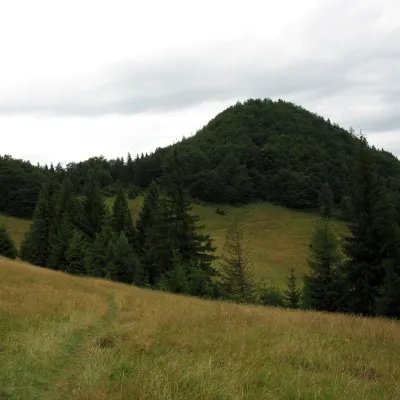 PeakWysokie Skałki (Wysoka)altitude 1 050 m1.8 km from Watrisko1 trail to the topWysokie Skałki, also called Wysoka (Slovak: Vysoké Skalky), is a 1,050 m summit on the main ridge of the Small Pieniny and the highest point of the entire Pieniny and...
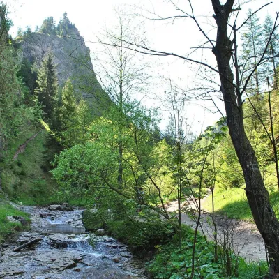 NatureHomole Gorge3 km from WatriskoThe Homole Gorge (Wąwóz Homole) is one of the most beautiful rocky gorges in Poland. It lies in the Little Pieniny, in the Lemko village of Jaworki near Szczawnica.
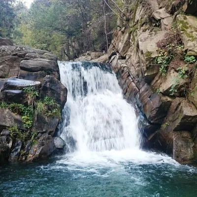 WaterfallZaskalnik Falls8 km from WatriskoZaskalnik is a small but very picturesque waterfall on the Sopotnicki stream (Sopotnicki Potok) near the spa town of Szczawnica.
Craft nearby
All craft places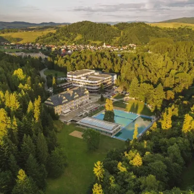 Water parks & thermal poolsVyšné Ružbachy Spa: Izabela Mountain Pools and Indoor Thermal Pool9 km from WatriskoVyšné Ružbachy is one of Slovakia’s oldest spas. It lies on the south-eastern slope of the Spišská Magura at about 617 m, surrounded by coniferous forest that merges...
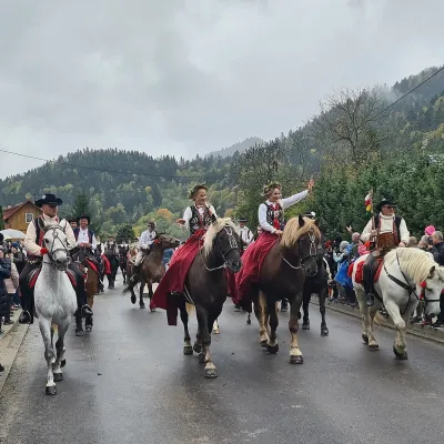 Markets & fairsAutumn Redyk in Szczawnica: sheep drive, oscypek and shepherds9.7 km from WatriskoRedyk is an old Carpathian shepherding custom: in spring the flocks are driven up to the mountain pastures (hale), and in autumn, after the cheese-making season, they...
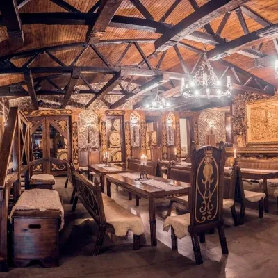 Craft producersNestville Distillery, Hniezdne — Home of the First Slovak Whisky10 km from WatriskoThis tradition is the basis for BGV, a company founded in 2001, which built the Nestville Distillery here.
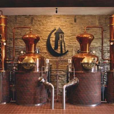 Craft producersCastle Distillery below Ľubovňa Castle: fruit spirits and tastings11 km from WatriskoStará Ľubovňa is a town in northern Spiš, overlooked by Ľubovňa Castle. For more than three and a half centuries Ľubovňa was one of the Spiš towns pledged to the...
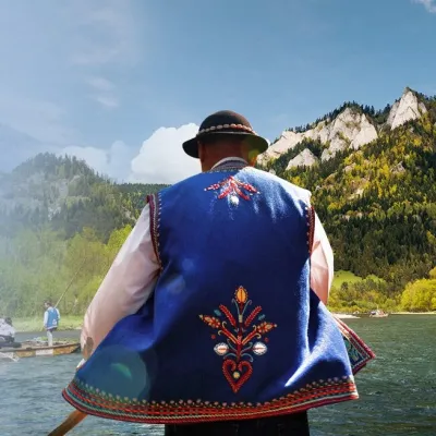 Ethno tours & guidesGoral raftsmen of Červený Kláštor: wooden-raft trip on the Dunajec12 km from WatriskoBetween Červený Kláštor and Lesnica the Dunajec cuts a deep, winding gorge through the limestone Pieniny, and here the river becomes the border between Slovakia and...
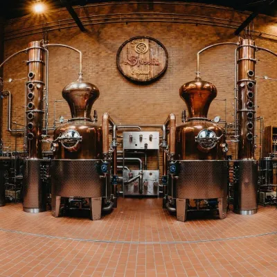 Craft producersSpišská Pálenica, Stará Ľubovňa: distillery tour and Spiš borovička13 km from WatriskoSpiš boasts perhaps the oldest history of distilling in Europe: at the hillfort of Myšia Hôrka near Spišský Štvrtok, part of a distillation vessel from around 1500 BC...
