Nowy Sącz County
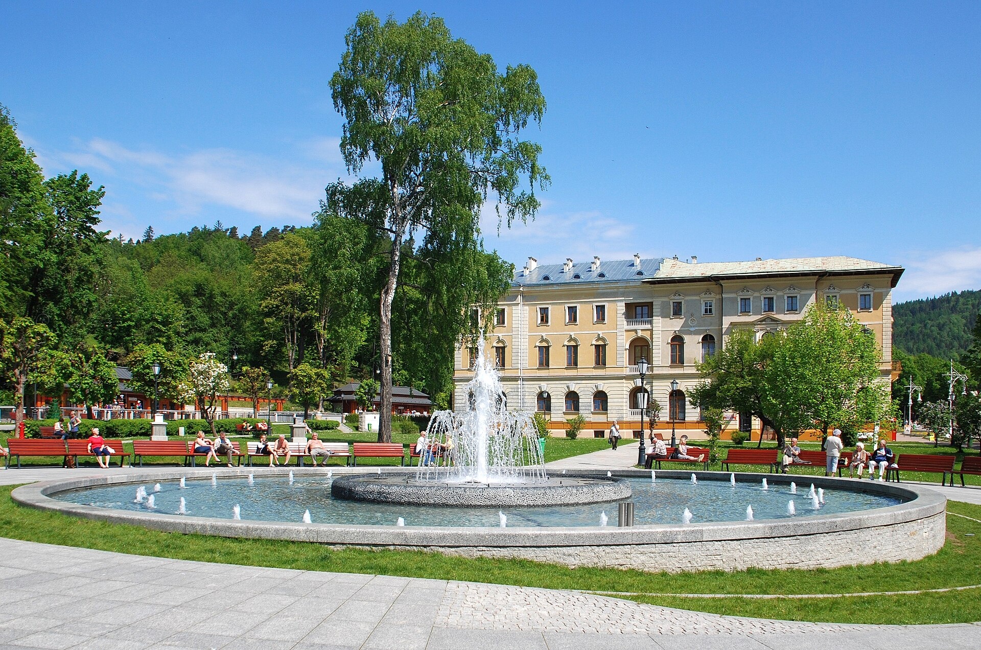
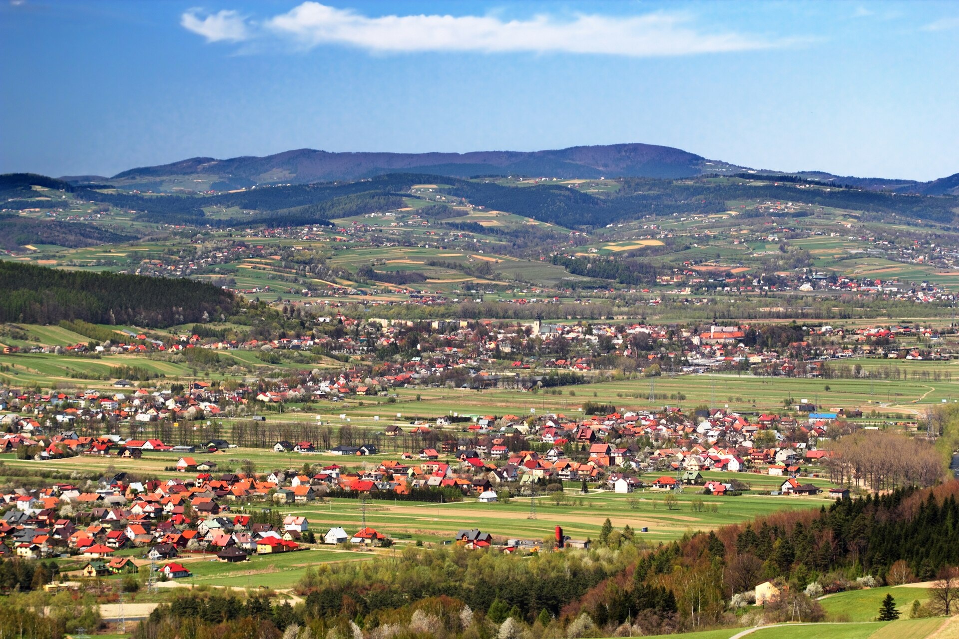
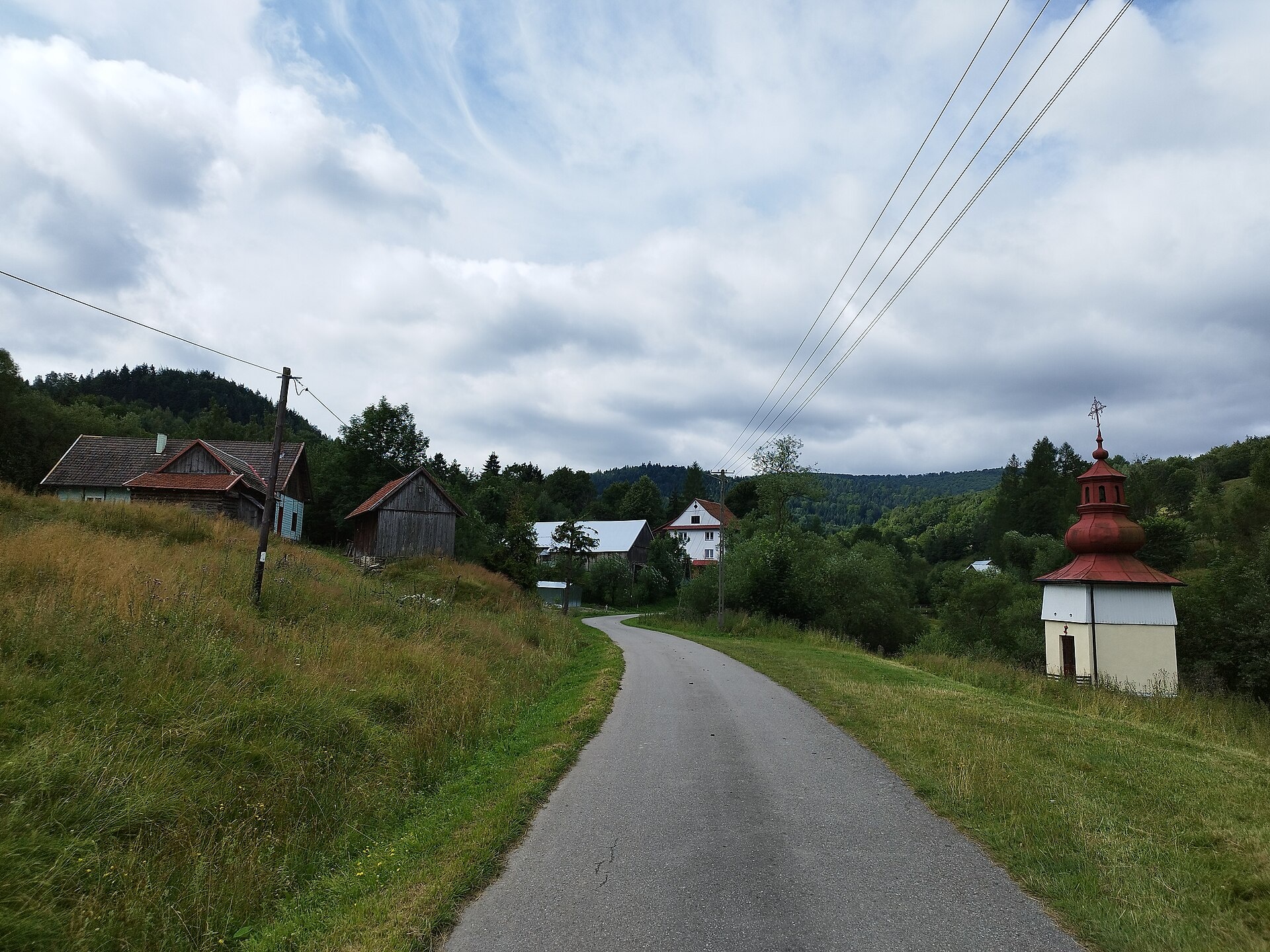
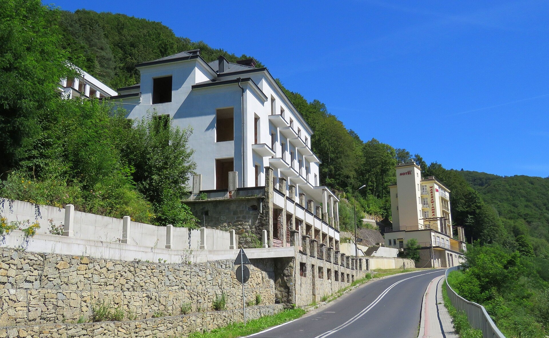
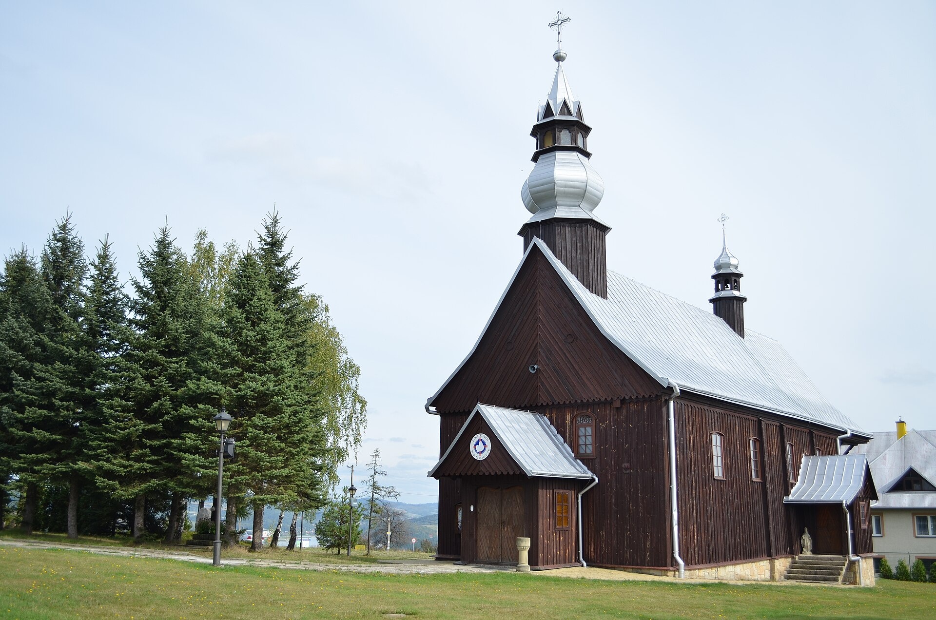
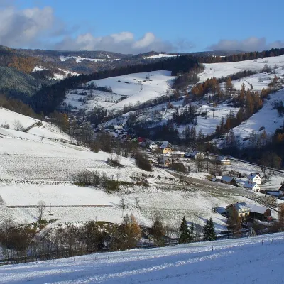
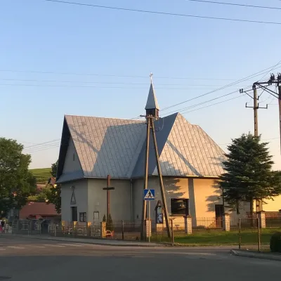
Photos: Krynica-Zdrój (Henryk Bielamowicz, CC BY-SA 4.0); Stary Sącz (Ffolas, CC BY-SA 3.0 pl); Uhryń (Majonez truskawkowy, CC BY-SA 4.0); Żegiestów (Andrzej Błaszczak, CC BY-SA 4.0); Tabaszowa (Fmbar22, CC BY-SA 3.0 pl)
Nowy Sącz County is an administrative district in the south-eastern part of the Lesser Poland Voivodeship, Poland, bordering Slovakia. Its administrative seat is the city of Nowy Sącz, which is not part of the county. The current county was established in 1999, but its history dates back to the mid-19th century, when it was part of Galicia under Austro-Hungarian rule. Over the years, the region was inhabited by Poles, Lemko Ukrainians, Germans, and others, and experienced significant changes due to post-World War II deportations.
The county is known for its mountain ranges, including parts of the Sądecki Beskid, Low Beskid, and Wyspowy Beskid, as well as the valleys of the Dunajec, Poprad, and Kamienica rivers. Large forest areas cover much of the region, with the Poprad Landscape Park and the artificial Rożnów Lake as natural highlights. The area is famous for its mineral waters, spas, and Lemko cultural heritage.
Key towns and villages with the most karpaty.rocks objects include Piwniczna-Zdrój, Krynica-Zdrój, Żegiestów, Muszyna, Wierchomla Mała, Szczawnik, Złotne, Uherce, Młodów, and Stary Sącz. Numerous hiking trails cross the county, such as "Piwniczna Zdrój – Obidza", "Rytro – Przehyba", and "Nowy Sącz – Makowica". Notable sights include the market square and Poor Clares Monastery in Stary Sącz, the Nikifor Museum in Krynica-Zdrój, Rożnów Lake, the Church of St. James in Powroźnik, waterfalls, apiaries, and vineyards. Mountain shelters are available on Jaworzyna Krynicka, Hala Łabowska, Obidza, and other peaks.
Getting there from Ukraine
Lviv – Nowy Sącz ≈335 km, ≈4 h 25 min without queues: M-10 to Krakovets → Krakovets – Korczowa → toll-free A4 via Rzeszów and Tarnów to Brzesko (≈198 km) → DK75 to Nowy Sącz (≈47 km). ≈257 km, ≈3 h from the border. Via Shehyni – Medyka (Przemyśl, DK28, DK77 to the A4) ≈348 km, ≈4 h 50 min.
Sources: Wikipedia, Wikidata, OpenStreetMap, Karpaty.rocks data.
Towns and villages
 Piwniczna-Zdrój7 trails, 3 mountain huts and shelters
 Krynica-Zdrój3 trails, 2 sights, 1 spa or thermal pool
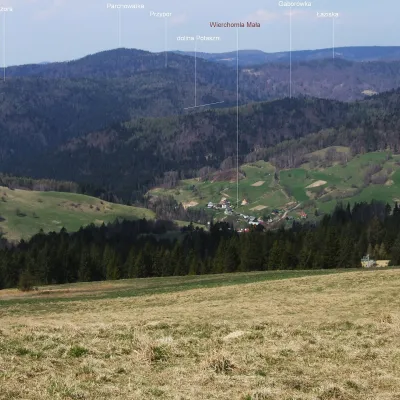 Wierchomla Mała3 trails, 1 mountain hut or shelter
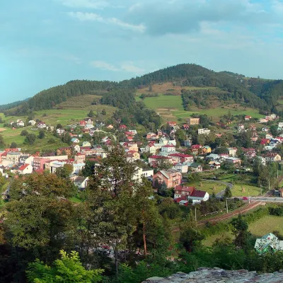 Muszyna4 trails
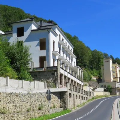 Żegiestów3 trails, 1 spa or thermal pool
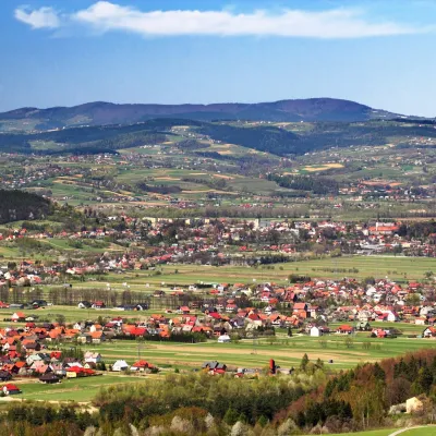 Stary Sącz1 trail, 1 sight, 1 craft place
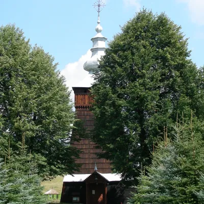 Szczawnik3 trails
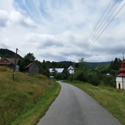 Uhryń1 trail, 1 sight, 1 mountain hut or shelter
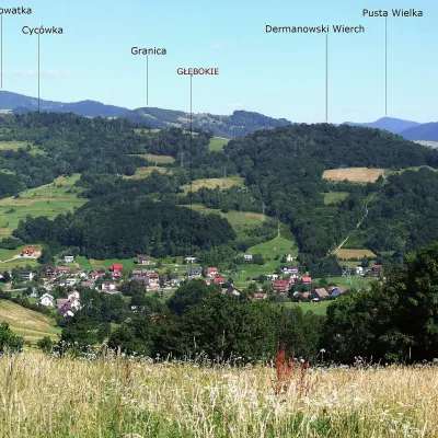 Młodów3 trailsZłotne3 trails
 Ptaszkowa2 trails
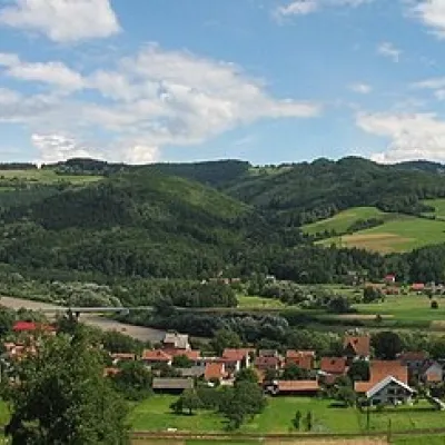 Barcice2 trails
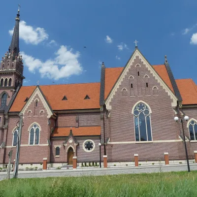 Stróże1 trail, 1 craft place
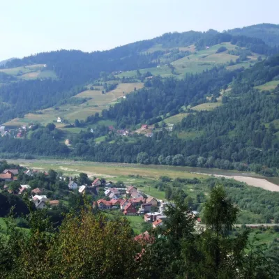 Sucha Struga1 trail, 1 mountain hut or shelter
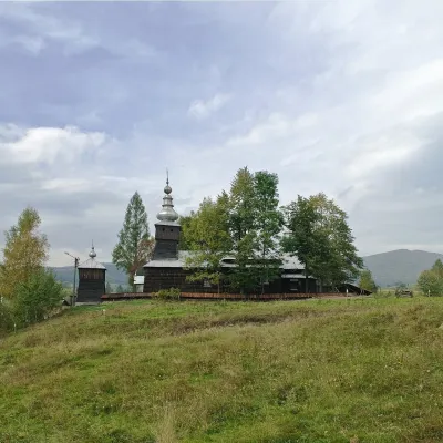 Jastrzębik1 peak, 1 mountain hut or shelter
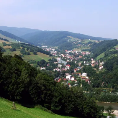 Roztoka Ryterska2 trails
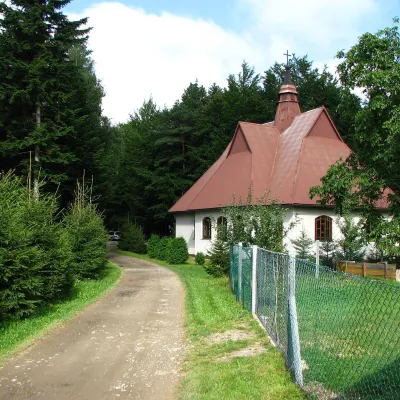 Skrzętla-Rojówka2 trails
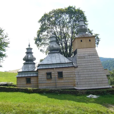 Dubne2 trailsWola Kosnowa2 trails
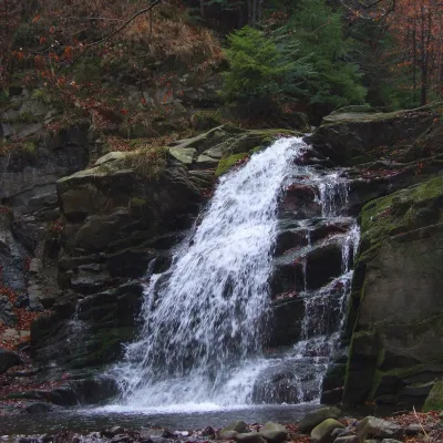 Obidza1 trail, 1 sight
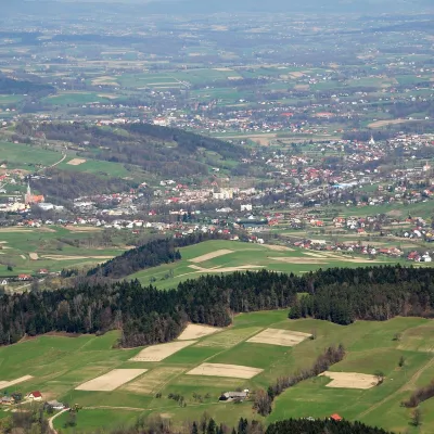 Grybów1 trail
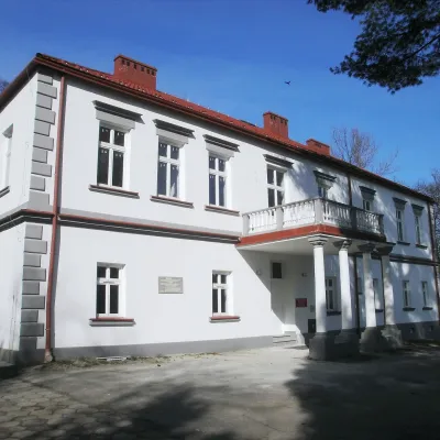 Marcinkowice1 trail
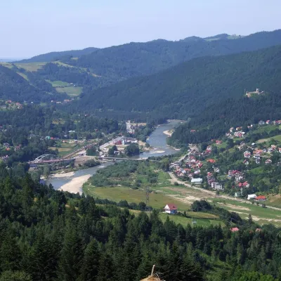 Rytro1 mountain hut or shelter
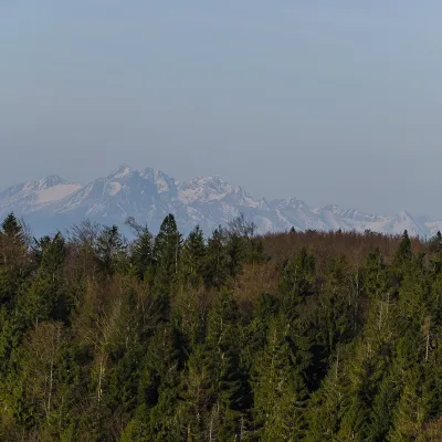 Łomnica-Zdrój1 sight
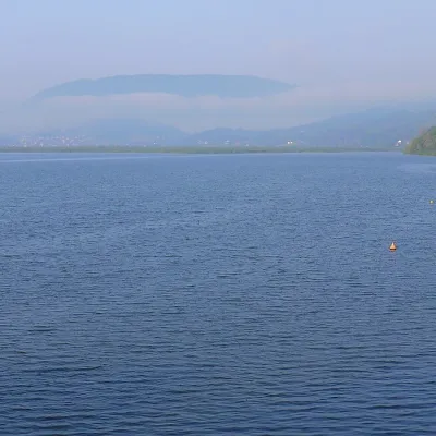 Rożnów1 craft placeJazowsko1 trail
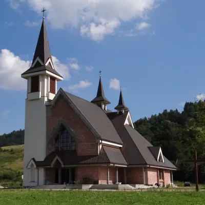 Powroźnik1 sight
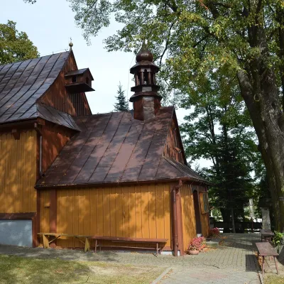 Tęgoborze1 trail
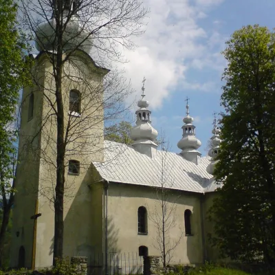 Łabowa1 trail
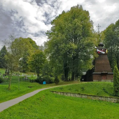 Milik1 trailMochnaczka Wyżna1 trail
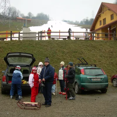 Kokuszka1 trail
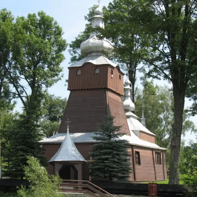 Muszynka1 trailZawadka1 trail
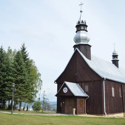 Tabaszowa1 sight
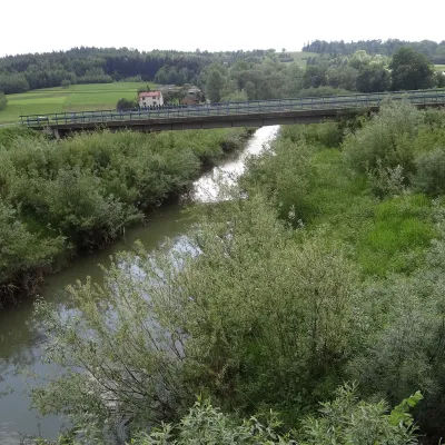 Chodorowa1 craft place
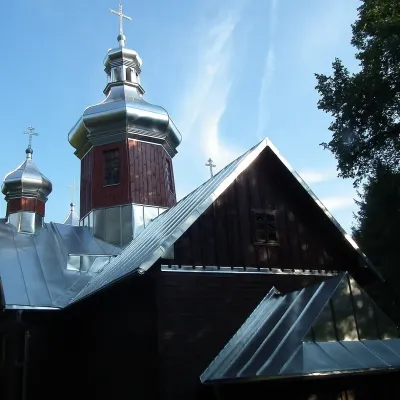 Kamianna1 craft place
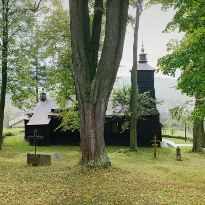 Leluchów1 trailNawojowa1 trail
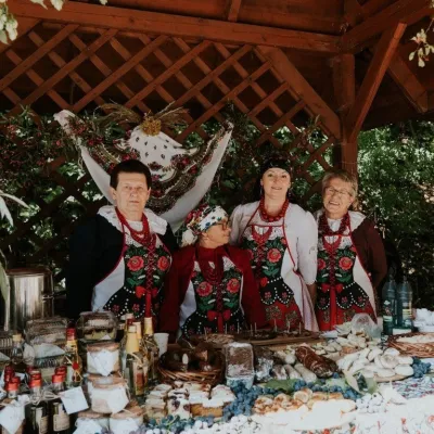 Łącko1 craft placeFrycowa1 trailBącza-Kunina1 trailBogusza1 trailPrzysietnica1 trail
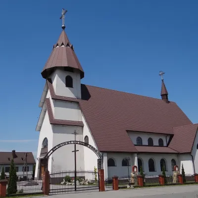 Biała NiżnaTylicz
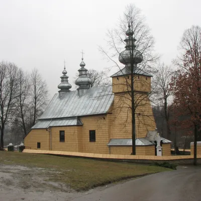 Binczarowa
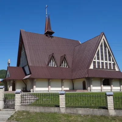 Zabrzeż
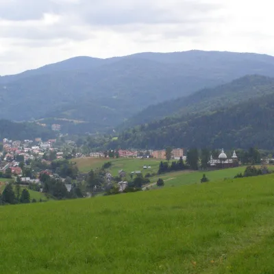 Złockie
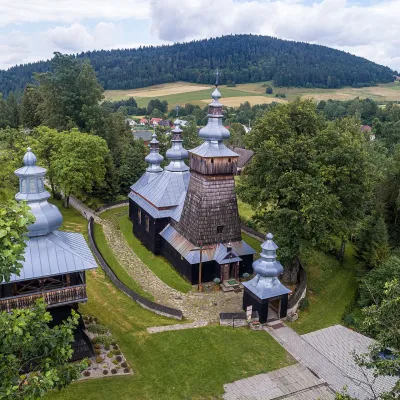 BerestMochnaczka Niżna
 Wierchomla Wielka
 RąbkowaMaszkowicePodegrodzieGronieSkrudzina
Getting there from Ukraine
Border crossings
- Krakovets – Korczowa — road, 24/7
- Shehyni – Medyka — road, 24/7 Pedestrian crossing is not confirmed by the Ukrainian border service — check dpsu.gov.ua before the trip.
- Smilnytsia – Krościenko — road, 24/7
- Hrushiv – Budomierz — road, 24/7
- Mostyska – Przemyśl (rail) — rail, 24/7
By car
Lviv – Nowy Sącz ≈335 km, ≈4 h 25 min without queues: M-10 to Krakovets → Krakovets – Korczowa → toll-free A4 via Rzeszów and Tarnów to Brzesko (≈198 km) → DK75 to Nowy Sącz (≈47 km). ≈257 km, ≈3 h from the border. Via Shehyni – Medyka (Przemyśl, DK28, DK77 to the A4) ≈348 km, ≈4 h 50 min.
Checked 23.10.2026; border crossing hours and timetables change — check before you travel.
