Huta village – Pasichna village
Trail map
Where to stay nearby
About the trail
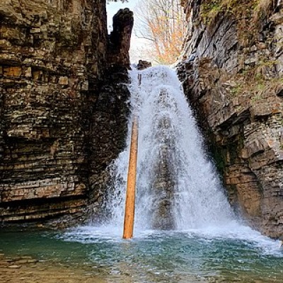
Route Huta village – Pasichna village. Has red marking (international, long-distance or mountain routes). Along the route you will see: Bukhtivetsky waterfall, Bukovo.
At a glance
A route of 26.4 km with 2,293 m of ascent from Huta village to Pasichna village. Estimated walking time: about 10.5 h, not counting stops — a very long day, so it is easier split into 2 days. Difficulty: hard. Waymarking: red.
Route stages
- 0–6 kmGentle ups and downs at 530–660 m
- 6–11 kmClimb of 390 m (up to 1,047 m)
- 11–15 kmDescent of 310 m to Manyavsky Waterfall
- 15–17 kmClimb of 440 m (up to 1,179 m)
- 17–23 kmGentle ups and downs at 1,010–1,180 m
- 23–26 kmDescent of 400 m to Pasichna village
Steepest kilometre: km 15–16, a climb of 270 m (≈27%), near Forester's hut by the Maniavka river.
Water and overnight stays
Springs near the trail: at km 3, 5, 14 and 18. There are no springs between km 18 and 26 — carry at least 1.5 l of water. Some springs run low or dry up in late summer.
Huts and shelters near the trail: Forester's hut by the Maniavka river (km 15). Places to stay near the finish: Bohorodchany.
A possible split into days:
- Day 1: km 0–15, ≈5.5 h — overnight: Forester's hut by the Maniavka river (hut)
- Day 2: km 15–26, ≈4.5 h — finish
When to go
Best time: May to October. In winter deep snow is possible, so experience and winter gear are needed.
Getting there
Start: Huta village. This is a one-way route: the finish is 18 km from the start in a straight line, so plan your way back in advance.
FAQ
- How long does the route take?
- Estimated walking time: about 10.5 h, not counting stops — a very long day, so it is easier split into 2 days.
- Is there water on the route?
- Springs near the trail: at km 3, 5, 14 and 18. There are no springs between km 18 and 26 — carry at least 1.5 l of water. Some springs run low or dry up in late summer.
- Where can I stay overnight?
- Huts and shelters near the trail: Forester's hut by the Maniavka river (km 15). Places to stay near the finish: Bohorodchany. Possible overnight stops: Forester's hut by the Maniavka river (km 15).
Water and shelter on the route
- Spring (Pasichna, 2)km 3.2 from the start · Not verified · 576 m
- Spring (Bukove, 4)km 5.4 from the start · Not verified · 628 m
- Spring (Bukove, 2)km 5.8 from the start · Not verified · 662 m
- Spring (Bukove)km 13.9 from the start · Not verified · 763 m
- Forester's hut by the Maniavka riverkm 14.8 from the start · 50 m off the path · Standing · 735 m
- Spring (Stara Huta, 9)km 18.2 from the start · 170 m off the path · Not verified · 1 069 m
Comments
What to see on the trail
Trails nearby
All trails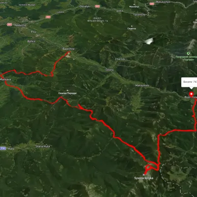 HardMulti-dayUnmarkedPasichna village to Bystrytsia villagevia Maniava village, Maniava Waterfall +1Elevation profile497–1 835 m69.7 kmascent 3 340 m
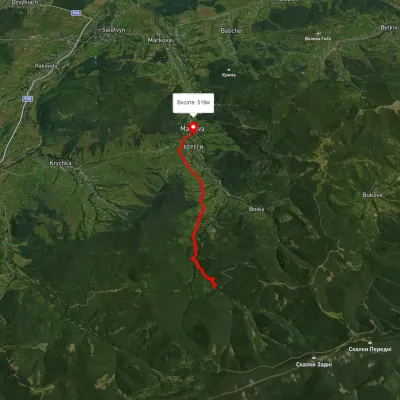 EasyOne-dayMarkedManiava village Maniava WaterfallElevation profile515–740 m7 kmascent 170 m≈ 2 h walking
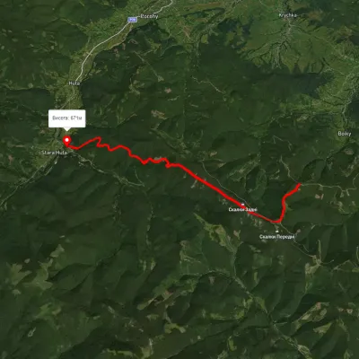 ModerateOne-dayMarkedHuta PoharchynaElevation profile669–1 269 m11 kmascent 1 077 m≈ 5 h walking