Mount Chorna Ripa
Chorna Ripa is a 1,285 m summit in the Eastern Beskids, on the Vododilnyi (Verkhovyna Watershed) Ridge. It stands right on the border of Lviv Oblast to the north and Zakarpattia Oblast to the south. The nearest village is Novoselytsia in Zakarpattia, about 2.5 km away; on the Lviv side Yalynkuvate and Verkhnia Rozhanka are close. Its nearest neighbours on the ridge are Mount Shcholb to the south-east and Vysokyi Verkh to the north.
How to get there
Our route Slavske – Bukovets Pass – Lake Synevyr passes about 40 m from the summit; it is 53.8 km long with around 2,170 m of ascent. It is a two- or even three-day crossing from the Boiko country to the Mizhhiria area, but you can also walk part of it — from Slavske to Chorna Ripa and back. A red-marked trail leads to the top from Slavske.
Water, shelter and safety
Water is easier to find here than on many other summits of the ridge: our map shows several springs above Novoselytsia some 300–500 m from the top and a weather shelter about 400 m away. The most convenient places to stay are Slavske and Novoselytsia. Parts of the ridge are treeless, so it is unpleasant in a thunderstorm or fog — check the forecast and carry a rain jacket and an offline map. In an emergency call 112 or 101 — the mountain rescue units of Lviv and Zakarpattia oblasts work around the clock.
Interesting facts
- Between the world wars the Main Carpathian Trail ran over Chorna Ripa and on towards the Vyshkiv Pass.
- The height is given differently: 1,285 m on maps and 1,280 m in some reference books.
Comments
Places to stay nearby
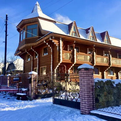 HotelChayna Khata9.2 km from Mount Chorna RipaHot tubBBQKitchen
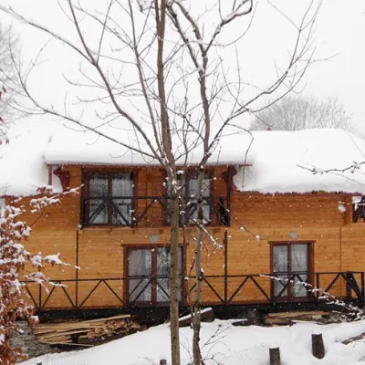 HomesteadHomestead "Dva Braty" Podobovets (sauna, tub)18 km from Mount Chorna RipaHot tubSaunaBBQNearby: Shypit Waterfall 2.0 kmMt Gemba 4.5 km16 trails
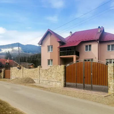 HotelDen House19 km from Mount Chorna RipaPoolSaunaBreakfastNearby: Mt Gorgan-Ilemsky 8.0 kmMt Yayko-Ilemske 10.0 km7 trails
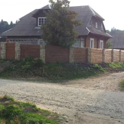 HotelChalet "Zlata" Volosyanka8.5 km from Mount Chorna RipaFireplaceKitchenParkingNearby: Mt Vysokyi Verkh 3.7 km
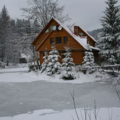 ResortEco-resort "Ozero Vita" Mykulychyn8.6 km from Mount Chorna RipaSaunaBBQKidsNearby: Mt Vysokyi Verkh 8.9 kmSt. Nicholas Church 8.9 km
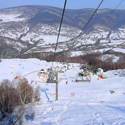 Ski resortSki Resort "Vyshkiv"9.5 km from Mount Chorna RipaSauna
Trails nearby
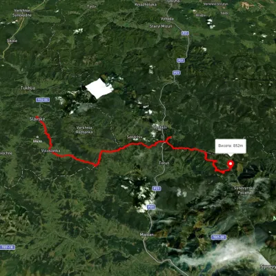 HardMulti-dayUnmarkedSlavske village to Lake Synevyrvia the Bukovets PassElevation profile583–1 328 m53.8 kmascent 2 170 munder 1 km from Mount Chorna Ripa
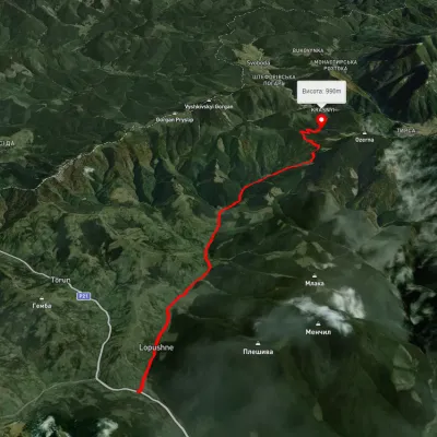 ModerateOne-dayUnmarkedLopushne village Lake SynevyrElevation profile587–1 118 m12 kmascent 652 m≈ 4.5 h walking9.1 km from Mount Chorna Ripa
 HardMulti-dayMarkedEast Carpathian Tourist TrailElevation profile635–1 819 m278.1 kmascent 14 105 m13 km from Mount Chorna Ripa
Nearby attractions
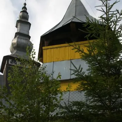 ChurchChurch of St. Nicholas the Wonderworker, Pryslip3.3 km from Mount Chorna RipaNicholas the Wonderworker was founded in 1797. There are icons from the 16th and 17th centuries.
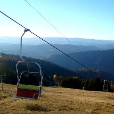 PeakMount Vysokyi Verkh, Volosyankaaltitude 1 242 m · Skole Beskids range7 km from Mount Chorna RipaVysokyi Verkh is a mountain in the Ukrainian Carpathians, in the Skole Beskydy massif. It is located within the Skole district of Lviv region, between the villages of...
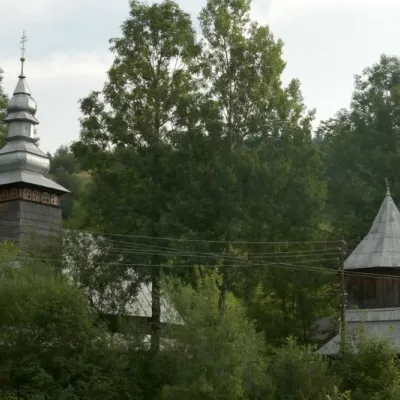 ChurchChurch of the Presentation of the Blessed Virgin Mary, Torun8.3 km from Mount Chorna RipaTheChurch of the Presentation in the village of Torun in the Zakarpattia region was built back in 1809 and is an architectural monument of national importance (No. 1127).