Orange hawkweed (fox-and-cubs)
About
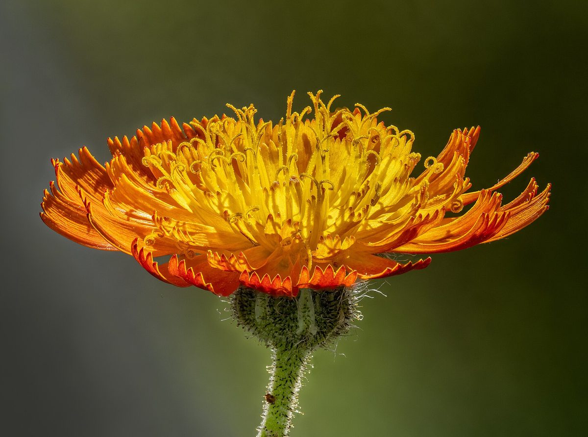
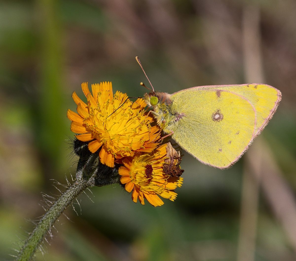
Orange hawkweed (fox-and-cubs) is a native plant of the mountainous regions of Europe that is hard to miss: its baskets have a rare, rich orange-red color for our meadows. In Ukraine, it grows in the mountain meadows of the Carpathians, and it is cultivated in gardens in other regions. In the Carpathians, flowering orange hawkweed is mainly found from June to August.
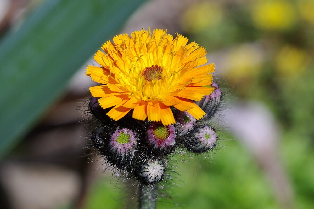
This perennial herb grows 20–65 cm tall. The stem is straight and simple, and along with the leaves, it is covered with short, usually dark hairs. At the base, there is a rosette of two to six elongated, entire, soft leaves 5–20 cm long and 1–3 cm wide; there are few or no leaves on the stem. At the top, several clustered baskets open with ligulate flowers — orange, almost red. All parts of the plant exude a milky sap.
An interesting detail: the orange-red color is almost invisible to bees, but the flowers reflect ultraviolet light, so insects can still easily find them.
Thanks to its bright flowers, orange hawkweed has long been cultivated as an ornamental plant, and it has 'escaped' from gardens to many corners of the world. In particular, in parts of North America, it has become an invasive weed. In the Carpathians, however, it is a native species of natural mountain meadows that is not protected. The best way to admire it is on the polonynas on a sunny day when the baskets are fully open.
Where in the Carpathians

The map shows where naturalists recorded the species (GBIF, CC0 and CC BY records), not every place it lives. The Ukrainian Carpathians are less studied, so a blank area does not mean the species is absent.
- Countries
- Slovakia · Ukraine · Romania · Czechia · Poland
- Mountain ranges
- Bieszczady, Greater Fatra, Lesser Fatra, Slovak Ore Mountains, Low Tatras, Western Tatras, Krasna Polonyna, Slovak Paradise, High Tatras, Levoča Mountains
- Altitude belts
- Foothills (below 600 m) · Beech forests (600–1200 m) · Conifer forests (1200–1600 m)
When to see it
| Jan | Feb | Mar | Apr | May | Jun | Jul | Aug | Sep | Oct | Nov | Dec | |
|---|---|---|---|---|---|---|---|---|---|---|---|---|
| Flowering | ||||||||||||
| Fruit |
From naturalists’ observations in the Carpathians (iNaturalist, research grade): the darker the cell, the more often the species is seen that month.
Look-alikes — how to tell them apart
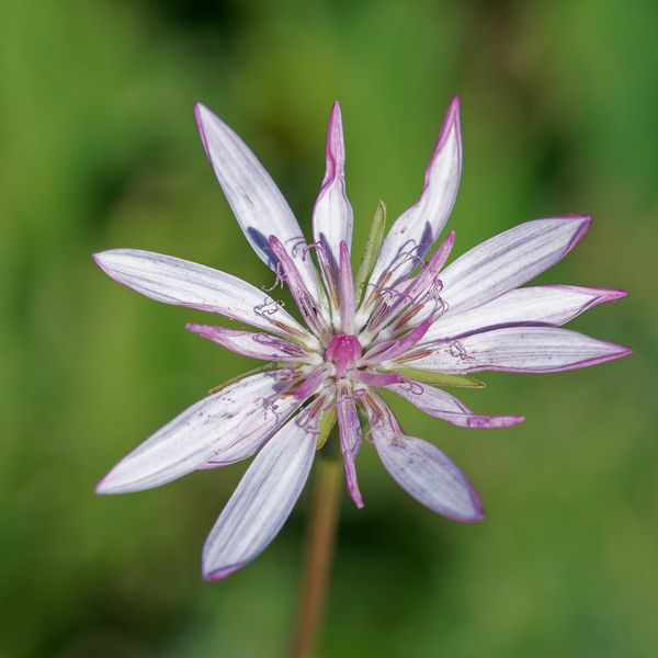
Baskets are pink, solitary at the top of the stem; leaves are narrow, linear, resembling grasses.
Protection and rules
Not protected. Picking plants is prohibited in reserves and protected areas of national parks.
FAQ
What are the orange flowers growing in the Carpathian meadows?
Most likely, it is orange hawkweed: several orange-red baskets on a hairy stem above a rosette of elongated leaves.
Is orange hawkweed invasive?
In North America, where it was introduced as an ornamental plant, yes. In the Carpathians, it is a native species of mountain meadows.
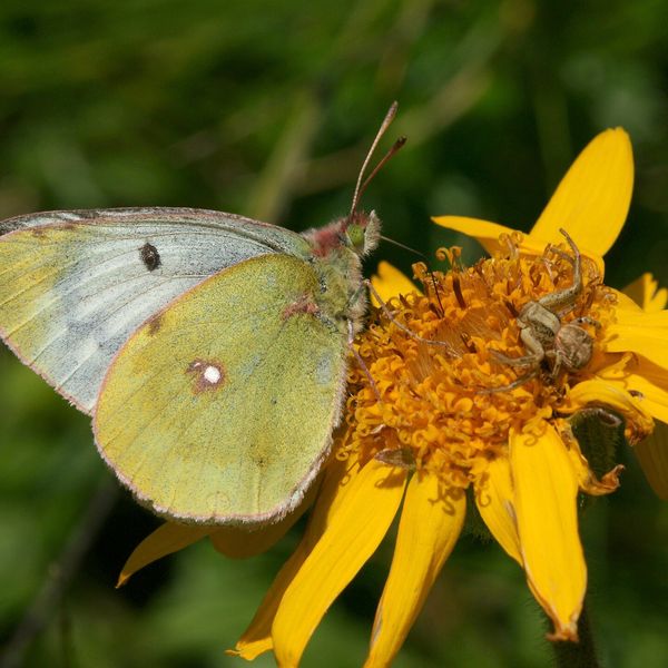
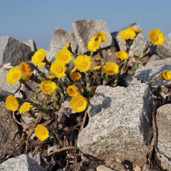
Similar species
Where to meet it
Trails
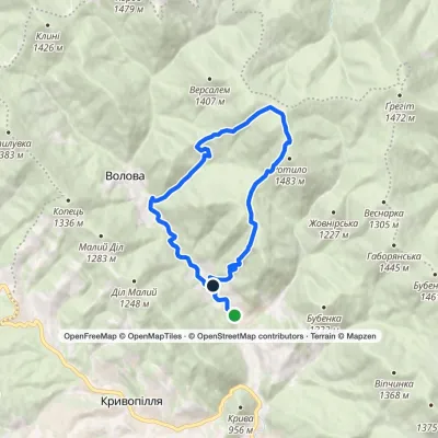 ModerateOne-dayMarkedVolova village loopvia Mount RotyloElevation profile775–1 441 m13.2 kmascent 712 m≈ 4.5 h walking
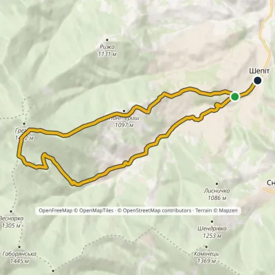 ModerateOne-dayMarkedShepit village Mount HrehitElevation profile674–1 424 m15.1 kmascent 708 m≈ 5 h walking
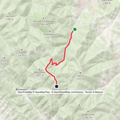 ModerateOne-dayKosmach village Mount RotyloElevation profile787–1 483 m9.6 kmascent 750 m≈ 4 h walking
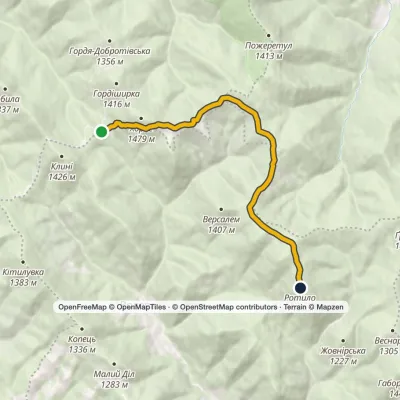 EasyOne-dayMarkedTo Mount RotyloElevation profile1 211–1 483 m8.5 kmascent 477 m≈ 3 h walking
 ModerateTwo-dayMount Topas to Kolochava villagevia Mereshor villageElevation profile513–1 527 m21.8 kmascent 376 m≈ 6 h walking
 HardMulti-dayUst-Chorna village to Kolochava villagevia Mount Klymova, Mount Syhlianskyi +1Elevation profile514–1 568 m42.1 kmascent 1 611 m≈ 13.5 h walking
 ModerateOne-dayMarkedStuzhytsia village Mount KremenetsElevation profile450–1 144 m7.4 kmascent 694 m≈ 3 h walking
 ModerateTwo-dayStuzhytsia village loopvia Mount KremenetsElevation profile423–1 299 m17 kmascent 1 013 m≈ 6.5 h walking
 ModerateTwo-dayMarkedStuzhytsia village Mount KremenetsElevation profile352–1 221 m16.1 kmascent 869 m≈ 6 h walking
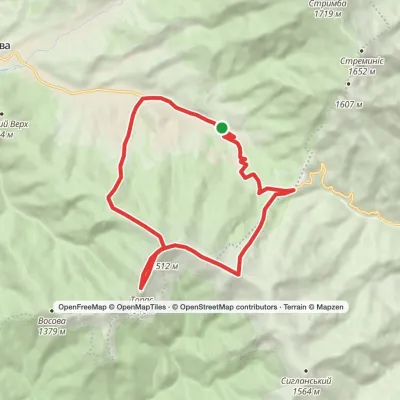 ModerateTwo-dayKolochava village loopvia Mount TopasElevation profile632–1 548 m16.2 kmascent 1 030 m≈ 6 h walking
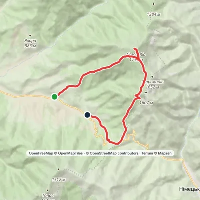 ModerateOne-dayMarkedKolochava village loopvia Mount Strymba, Pryslip PassElevation profile643–1 719 m13.6 kmascent 1 076 m≈ 5.5 h walking
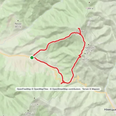 ModerateTwo-dayMarkedKolochava village loopvia Mount StrymbaElevation profile637–1 719 m16.2 kmascent 1 086 m≈ 6 h walking
Peaks and meadows
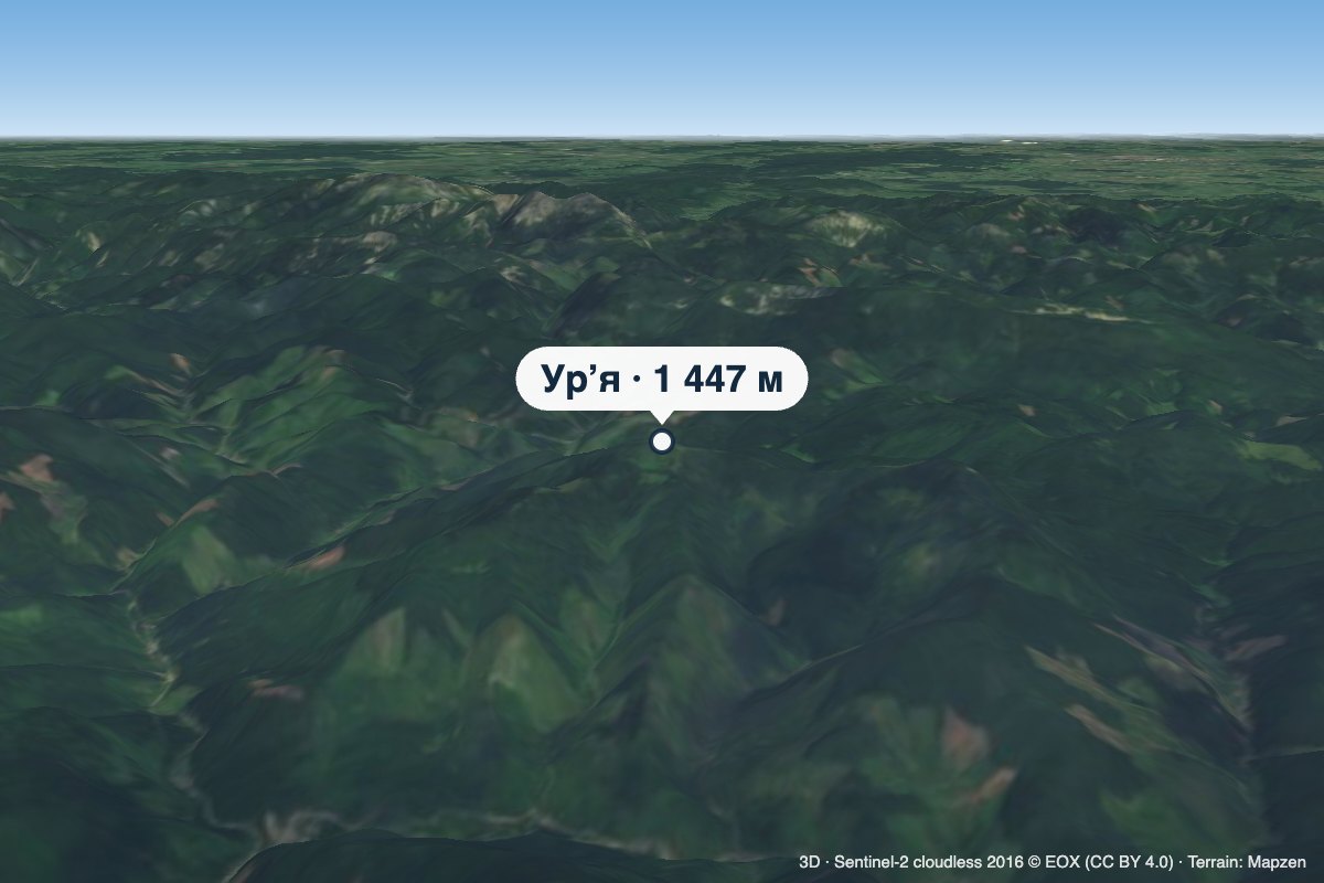 PeakMount UriaLopukhivaltitude 1 447 m · Gorgany rangeUria (also spelled Urya) is a 1,447 m mountain (some sources give 1,445 m) in the Gorgany range.
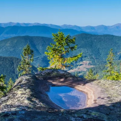 PeakMount VersalemVolovaaltitude 1 407 m · Pokuttia-Bukovyna Carpathians rangeVersalem is a 1,407 m (more precisely 1,406.7 m) mountain in the Pokuttia-Bukovina Carpathians.
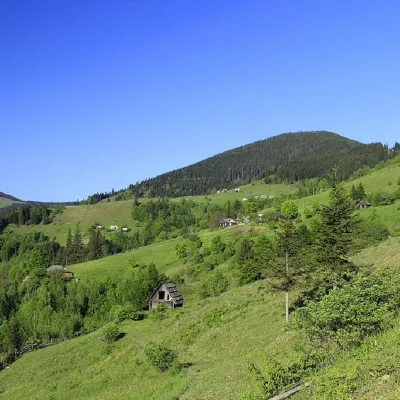 PeakMount GregitShepitaltitude 1 472 m · Pokuttia-Bukovyna Carpathians range7 trails to the topMount Gregit is a 1472-meter peak in the Ukrainian Carpathians, which lies within the Pokutsko-Bukovyna Carpathians.
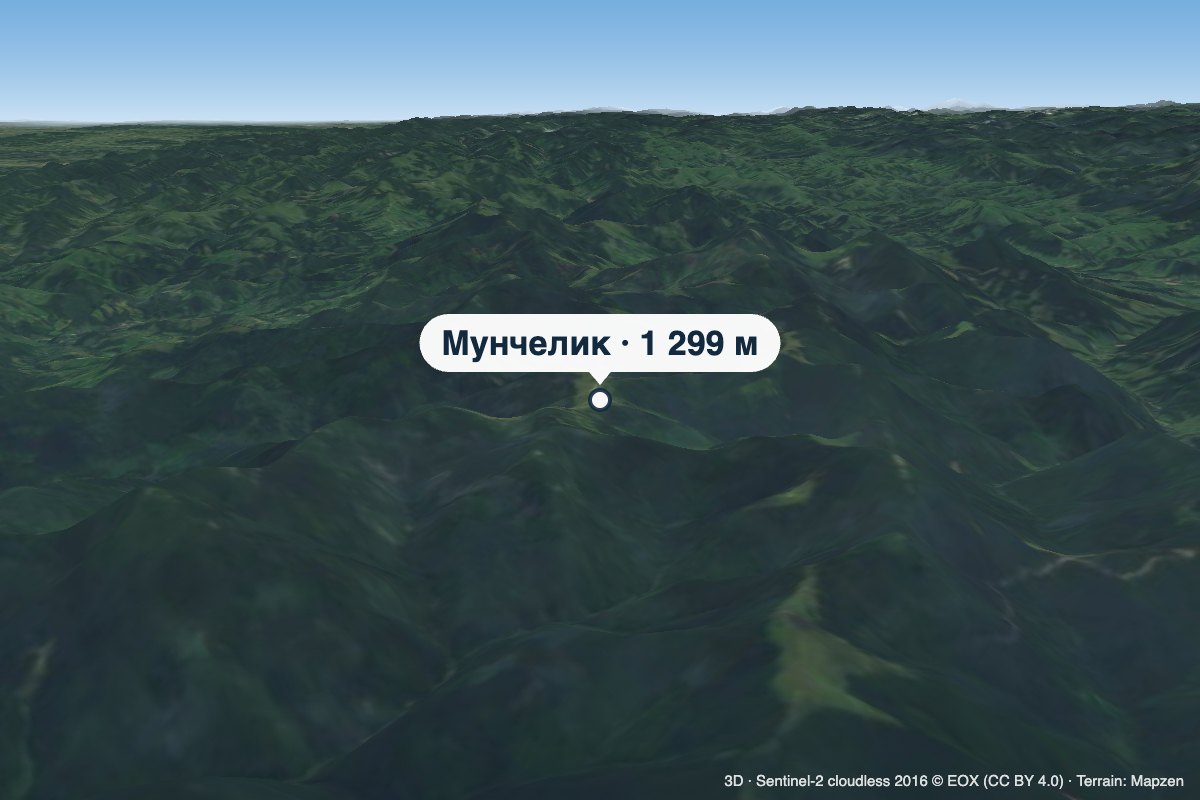 PeakMount MunchelykVolovaaltitude 1 299 mMunchelyk is a 1,299 m summit in the Pokuttia-Bukovyna Carpathians, in the Verkhovyna district of Ivano-Frankivsk...
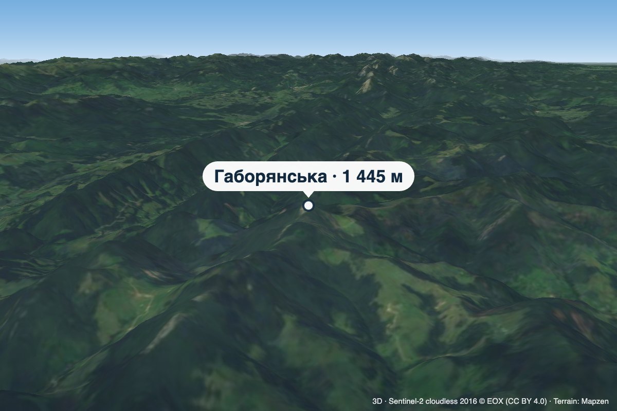 PeakMount HaborianskaStaishchealtitude 1 445 mHaborianska (also Haborianska Hyha) is a 1,445 m mountain (1,444.5 m exactly; some sources give 1,447 m) in the...
 PeakMount RotiloVolovaaltitude 1 483 m · Pokuttia-Bukovyna Carpathians range6 trails to the topRotylo is a peak in the Ukrainian Carpathians, the highest mountain of the Pokutsko-Bukovyna mountain range.
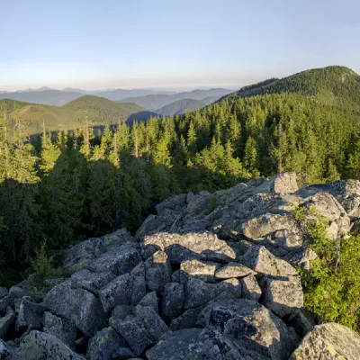 PeakMount Bila KobylaVerkhovynaaltitude 1 477 m · Pokuttia-Bukovyna Carpathians range5 trails to the topMount Bila Kobyla is a peak in the Ukrainian Carpathians, which is located within the Pokutsko-Bukovyna mountain range.
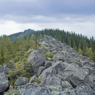 PeakMount KhordeTatarivaltitude 1 479 m · Pokuttia-Bukovyna Carpathians range6 trails to the topMount Khorde is a 1479-meter peak of the Ukrainian Carpathians, which is located within the Pokutsko-Bukovyna...
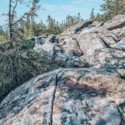 PeakMount Lysyna KosmatskaKosmachaltitude 1 465 m · Pokuttia-Bukovyna Carpathians rangeLysyna Kosmatska is a 1,465 m mountain (1,466 m by other data) in the Pokuttia-Bukovyna Carpathians.
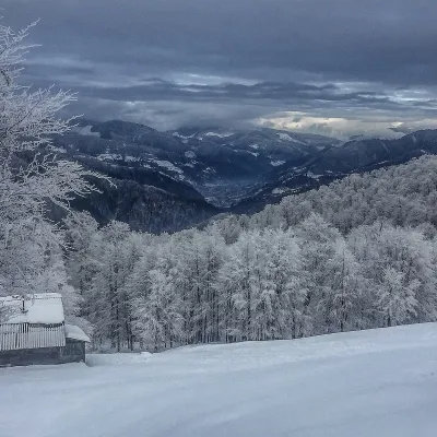 PeakMount SyhlanskyiKolochavaaltitude 1 564 m · Svydovets rangeSyhlanskyi is the highest peak of the Polonyna Krasna massif in the Ukrainian Carpathians.
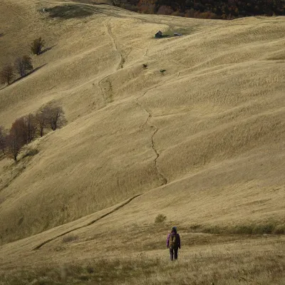 PeakMount TopasKolochavaaltitude 1 548 m · Svydovets rangeTopas is a mountain in the Ukrainian Carpathians, in the Polonyna Krasna massif, Tiachiv district of Zakarpattia Oblast.
 PeakMount PantyrBystrytsiaaltitude 1 213 m · Gorgany rangePantyr is a mountain in the south-eastern Gorgany, on the border of the Nadvirna district (Ivano-Frankivsk Oblast)...
Waters and waterfalls
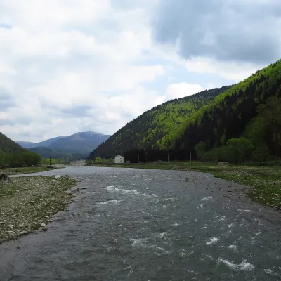 RiverTereblia RiverKolochavaThe Tereblia begins in the Inner Gorgany, where the Roztoka and Sloboda streams meet, and flows through Synevyrska...
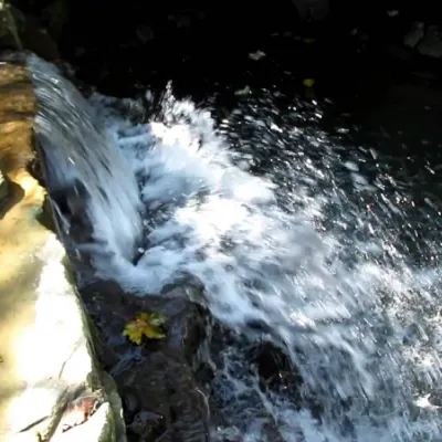 WaterfallBagrovetsky waterfallYaremcheBagrovetsky Waterfall is one of the most famous waterfalls in the Yaremche region, located in the city of Yaremche.
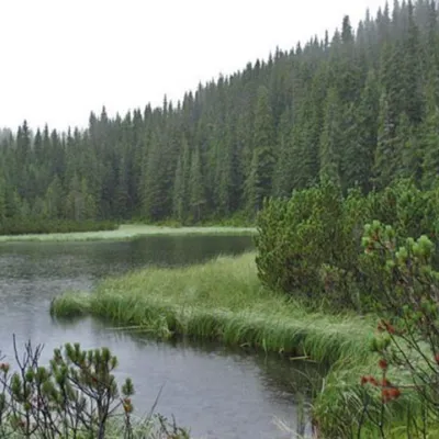 LakeLake MaricheykaYavirnyk (Shybene)Lake Maricheyka is one of the most picturesque high-altitude glacial lakes in the Carpathians, located on the...
Mountain ranges: Bieszczady, Krasna Polonyna. In other countries: 🇸🇰 Greater Fatra, 🇸🇰 Lesser Fatra, 🇸🇰 Slovak Ore Mountains, 🇸🇰 Low Tatras, 🇸🇰 Western Tatras, 🇸🇰 Slovak Paradise, 🇸🇰 High Tatras, 🇸🇰 Levoča Mountains, 🇸🇰 Čergov Mountains, 🇨🇿 Moravian-Silesian Beskids, 🇸🇰 Spiš Magura, 🇸🇰 Belianske Tatras
Trails and peaks near which naturalists recorded the species (GBIF, iNaturalist), matched by altitude and habitat. Sightings are not guaranteed.
Sources
- Вікіпедія: Нечуйвітер оранжево-червоний
- Wikipedia (en): Pilosella aurantiaca
- iNaturalist: Pilosella aurantiaca (спостереження в Карпатах)
GBIF · iNaturalist · Wikidata · Distribution data: GBIF.org (CC0 and CC BY records), iNaturalist; names and identifiers: Wikidata (CC0). Text: Karpaty.rocks, checked 09.11.2026.
