Shepit village – Mount Hrehit
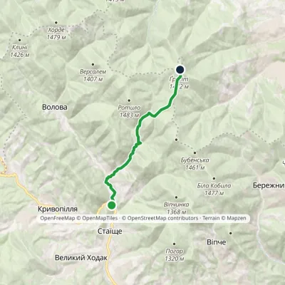
Trail map
Route, springs and shelters: © OpenStreetMap contributors (ODbL) · elevation: Copernicus DEM © DLR e.V., © Airbus DS · Data & licences
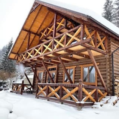
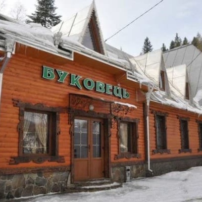
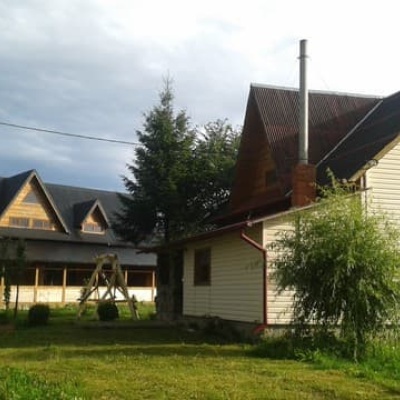
Where to stay nearby
About the trail
Route Shepit village – Mount Hrehit. Has yellow marking (local route). Waymarking data: OpenStreetMap (© OpenStreetMap contributors, ODbL).
Officially marked local tourist route. The marking is yellow, the sign is a horizontal stripe on a white background. The length of the route is 15.1 km. Location: mountain range — Pokutsko-Bukovynski Carpathians, Ivano-Frankivsk region.
At a glance
A one-day route of 15.1 km with 700 m of ascent from Shepit village to Mount Hrehit. Estimated walking time: about 5 h, not counting stops. Difficulty: moderate. Waymarking: yellow.
Route stages
- 0–2 kmGentle ups and downs at 730–830 m
- 2–5 kmClimb of 510 m (up to 1,338 m)
- 5–6 kmGentle ups and downs at 1,330–1,410 m, past Mount Gregit
- 6–12 kmDescent of 640 m (down to 764 m)
- 12–15 kmGentle ups and downs at 670–770 m
Steepest kilometre: km 4–5, a climb of 230 m (≈23%).
Water and overnight stays
Our map shows no springs near the trail — bring your own water (at least 2.5 l).
Places to stay near the finish: Kosiv.
When to go
Best time: May to October. In winter deep snow is possible, so experience and winter gear are needed.
Getting there
Start: Shepit village.
FAQ
- How long does the route take?
- Estimated walking time: about 5 h, not counting stops.
- Is there water on the route?
- Our map shows no springs near the trail — bring your own water (at least 2.5 l).
- Where can I stay overnight?
- Places to stay near the finish: Kosiv.
Before you go, check the border-regime restrictions: Border Guard permit for mountain hikes (in Ukrainian)
Comments
Trails nearby
All trails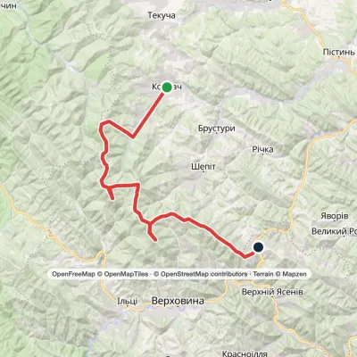 HardMulti-dayKosmach village to Bukovets villagevia Mount Rotylo, Mount Hrehit +1Elevation profile615–1 478 m40.2 kmascent 2 240 m
 HardMulti-dayVerkhovyna to Tatariv villagevia Mount Bila Kobyla, Mount KhordeElevation profile612–1 478 m38.3 kmascent 1 834 m≈ 13 h walking
 ModerateOne-dayMarkedVolova village Vesnarka polonynaElevation profile743–1 472 m8.9 kmascent 738 m≈ 3.5 h walking
Craft nearby
All craft places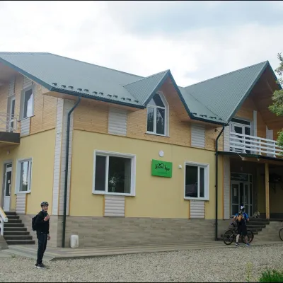 Cheese dairies & pasturesDaleki Hory Cheese Dairy, SnidavkaSnidavka3.8 km from the trailDaleki Hory (“Distant Mountains”) is one of the highest craft cheese dairies in Ukraine. It stands in the mountain village of Snidavka in the Kosiv area, about 940...
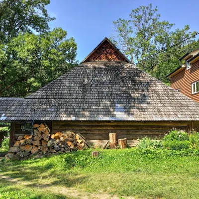 Ethno parks & homesteadsLived-in Hutsul Grazhda on Ihrets, KryvorivniaKryvorivnia8.6 km from the trailOn the slopes of the Ihrets ridge above Kryvorivnia stands one of the few lived-in Hutsul grazhda homesteads still inhabited and farmed by a family.
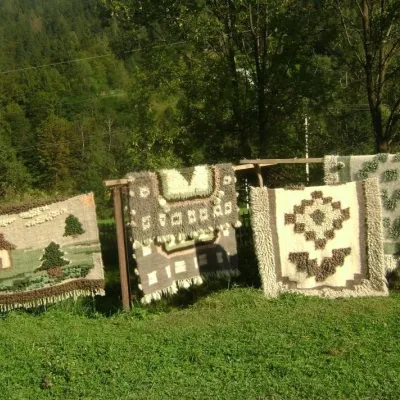 Crafts & workshopsHutsul Grazhda Folk Art Centre, YavorivYavoriv10 km from the trailThe village of Yavoriv near Kosiv is known as the capital of Hutsul lizhnyk weaving. Woollen blankets are woven in almost every other house here, and in summer...
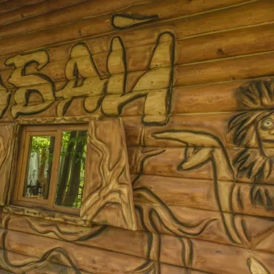 Koliby & Hutsul cuisineBabai Restaurant, YavorivYavoriv10 km from the trailBabai Restaurant is one of the best-known roadside eateries of the Hutsul region. It stands in the village of Yavoriv (Ryvni hamlet), Kosiv district, right by the...
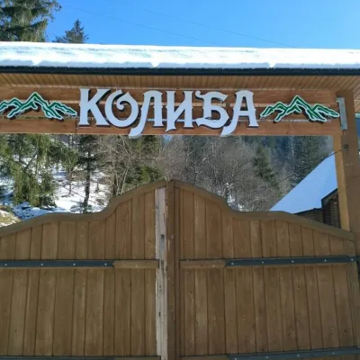 Koliby & Hutsul cuisineKolyba Restaurant, SokolivkaSokolivka10 km from the trailKolyba Restaurant in Sokolivka is a genuine Hutsul koliba by the main Kosiv–Verkhovyna road, above the mountain river Rybnytsia.
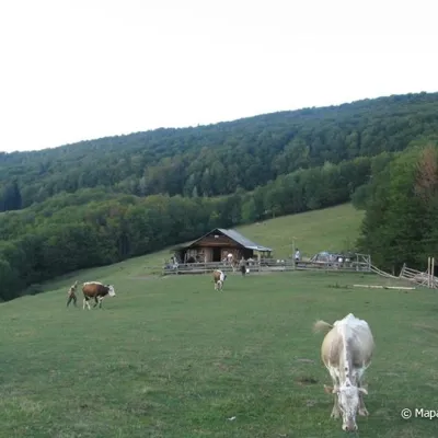 Mountain meadowPolonyna Rosokhata (Sheshory)Sheshoryaltitude 860 m10 km from the trailWhy is the meadow called "Rosokhata"? The two parts of the field that form the branches look like dewdrops.
