Coltsfoot
For information only, not medical advice. Do not self-medicate — consult a doctor. Many Carpathian medicinal plants are protected and must not be collected.
About
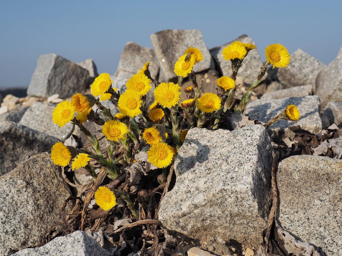
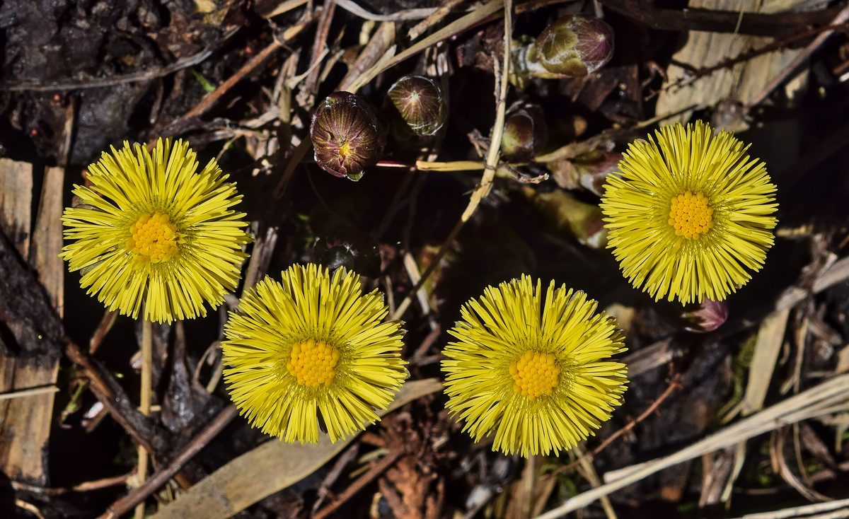
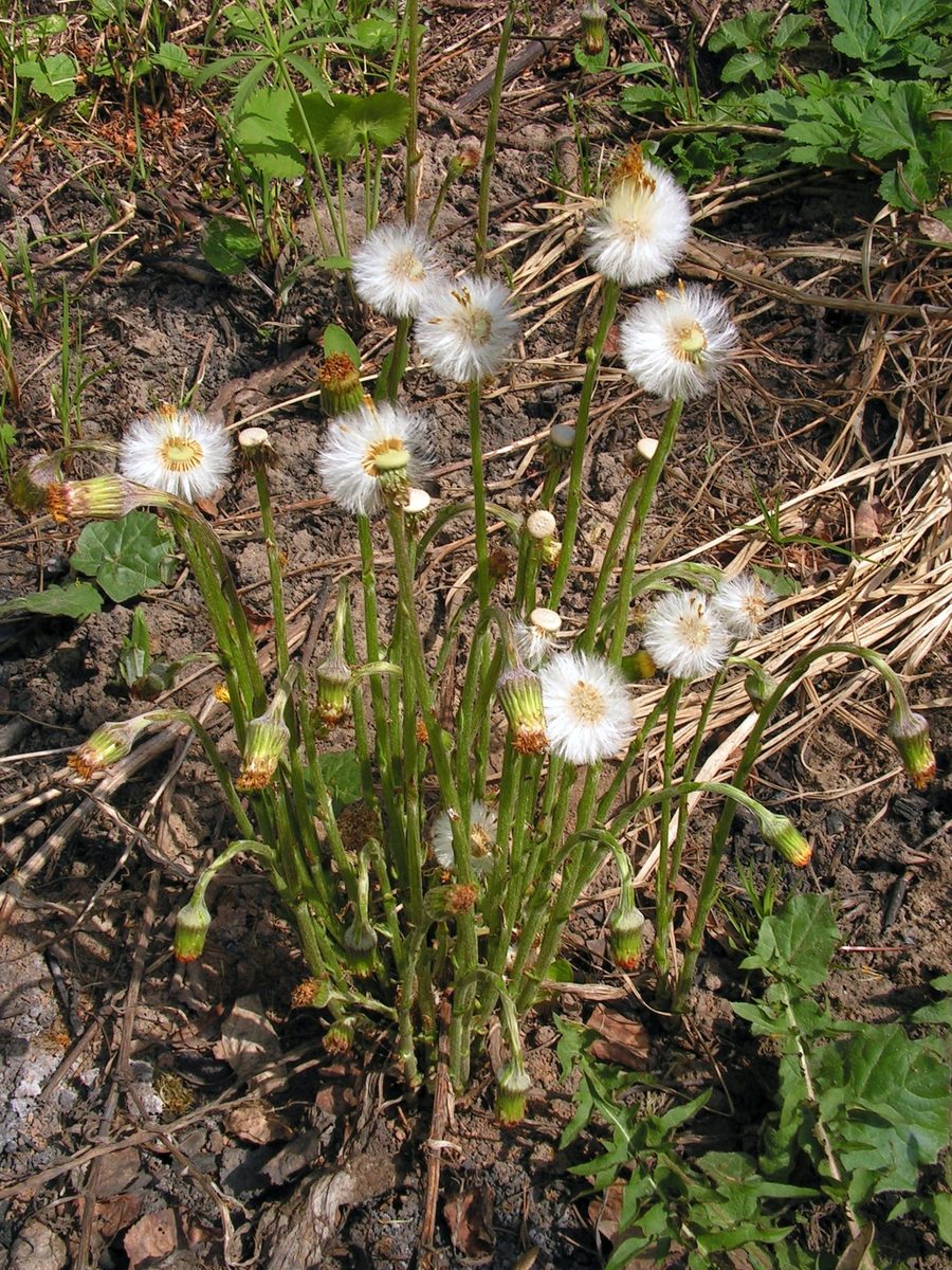
Coltsfoot is one of the first flowers of the year. In March and April, short fluffy stems 5–25 cm tall with scales instead of leaves and one bright yellow flower head at the top emerge from the ground on clay slopes, screes, in ravines, along riverbanks, and on road verges. The plant is widespread throughout Ukraine, mainly in Polissia, the northern Forest-Steppe, in the Carpathians, and in Transcarpathia, and readily colonizes disturbed soils.
Leaves appear only after flowering. They are large, 10–25 cm wide, round-heart-shaped, angular, with uneven teeth. The folk explanation of the name connects it to the leaf: the top is smooth and cold, like a 'stepmother', while the underside is covered with white warm hairs, like a 'mother'. The underground creeping rhizome allows the plant to quickly occupy bare soil.
Coltsfoot has long been considered a folk remedy, and its Latin name even derives from the word 'cough'. However, the plant contains pyrrolizidine alkaloids, including senecionine and senkirkine, which damage the liver and may have carcinogenic effects. For this reason, the sale of Coltsfoot has been banned in Germany, and later a special variety without these alkaloids was developed there and in Austria.
Therefore, it is not advisable to collect and brew Coltsfoot on your own, especially for children, pregnant women, and nursing mothers. It is better to admire the first flowers of spring along the route. It is easy to distinguish it from dandelion: Coltsfoot has scales on the flower stalk instead of leaves and blooms without leaves, while dandelion has a rosette of jagged leaves and a hollow smooth stem with milky sap.
Where in the Carpathians

The map shows where naturalists recorded the species (GBIF, CC0 and CC BY records), not every place it lives. The Ukrainian Carpathians are less studied, so a blank area does not mean the species is absent.
- Countries
- Slovakia · Czechia · Poland · Ukraine · Romania · Hungary · Austria · Serbia
- Mountain ranges
- Greater Fatra, Strážov Mountains, White Carpathians, Low Tatras, Lesser Fatra, Štiavnica Mountains, Moravian-Silesian Beskids, Slovak Ore Mountains, Kysuce Beskids, Volovec Mountains
- Altitude belts
- Foothills (below 600 m) · Beech forests (600–1200 m)
When to see it
| Jan | Feb | Mar | Apr | May | Jun | Jul | Aug | Sep | Oct | Nov | Dec | |
|---|---|---|---|---|---|---|---|---|---|---|---|---|
| Flowering | ||||||||||||
| Fruit |
From naturalists’ observations in the Carpathians (iNaturalist, research grade): the darker the cell, the more often the species is seen that month.
Safety
Contains pyrrolizidine alkaloids that harm the liver. Do not collect or brew on your own, especially for children, pregnant women, and nursing mothers.
Look-alikes — how to tell them apart
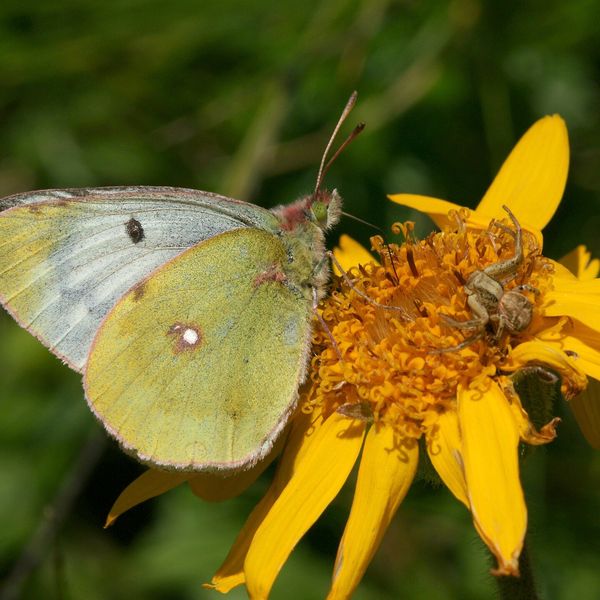
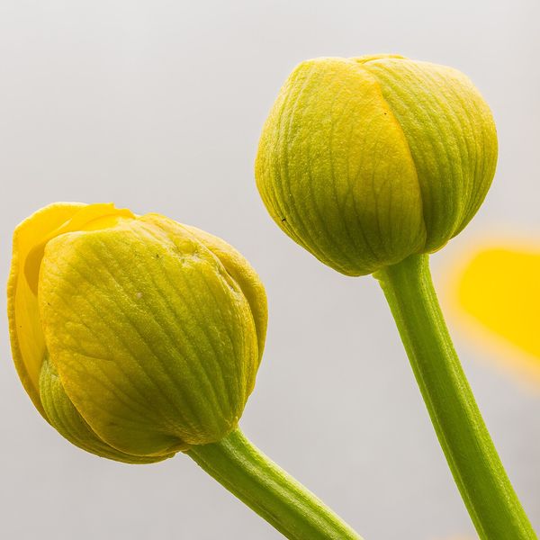
Blooms together with a rosette of jagged leaves; the flower stalk is smooth, hollow, without scales, with white milky sap.
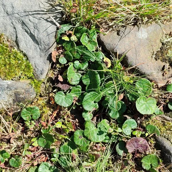
Also blooms in early spring without leaves, but flowers are pink-purple, gathered in dense inflorescences; leaves later become huge, 40–70 cm in diameter. Also contains pyrrolizidine alkaloids.
In folk tradition
In folk tradition, leaves and flowers were brewed as tea, but due to pyrrolizidine alkaloids, self-consumption is not recommended.
Protection and rules
Not protected.
FAQ
Why is Coltsfoot called that?
The leaf is smooth and cold on top, while the underside is covered with white warm woolly hairs. Hence the image of 'stepmother' and 'mother' in one leaf.
Can I drink tea made from Coltsfoot?
On your own — it is not advisable. The plant contains pyrrolizidine alkaloids that harm the liver; for this reason, its sale has been banned in Germany.
When does Coltsfoot bloom?
One of the first, in March — April, still before the leaves appear.
Similar species
Where to meet it
Trails
 ModerateOne-dayKostryno village Mount KrasiiaElevation profile293–1 016 m9.2 kmascent 765 m≈ 4 h walking
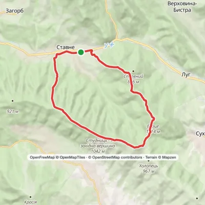 ModerateTwo-dayStavne village loopvia Mount Studnytsia, Mount SpalenyiElevation profile382–1 042 m17.6 kmascent 981 m≈ 6.5 h walking
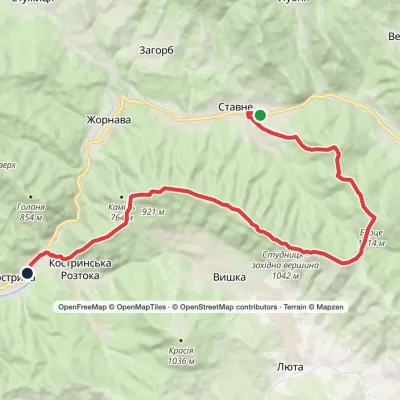 HardTwo-dayStavne village to Kostryno villagevia Mount Bertse, Mount VezhaElevation profile292–1 042 m22.3 kmascent 1 136 m≈ 8 h walking
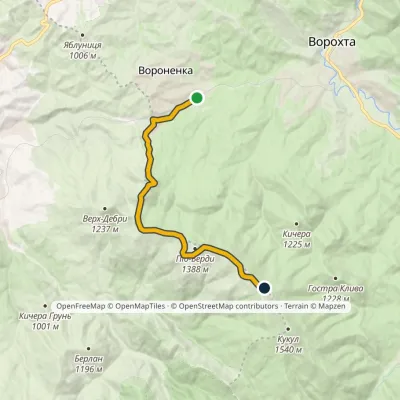 ModerateOne-dayMarkedVoronenko village Ozirna polonynaElevation profile832–1 414 m10.5 kmascent 657 m≈ 4 h walking
 HardMulti-dayKostryno village loopvia Mount Yavirnyk, Mount Krasiia +1Elevation profile278–1 036 m26.8 kmascent 1 384 m≈ 9.5 h walking
 ModerateOne-dayMarkedVoronenko village Mount KukulElevation profile832–1 539 m13.4 kmascent 779 m≈ 5 h walking
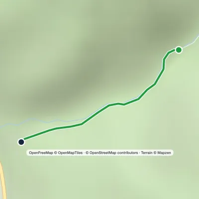 EasyOne-dayMarkedTo Sokolyne BerdoElevation profile331–674 m2.6 kmascent 344 m≈ 1.5 h walking
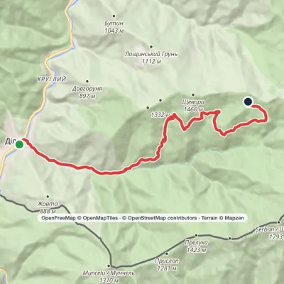 ModerateTwo-dayDilove village to Shchavora polonynavia Yalynskyi WaterfallElevation profile346–1 338 m16.3 kmascent 1 042 m≈ 6 h walking
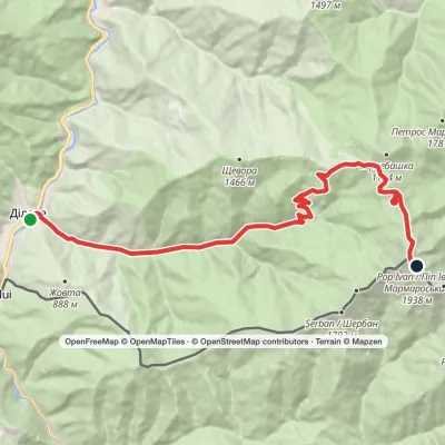 HardTwo-dayMarkedDilove village to Mount Pip Ivan Marmaroskyivia Lysycha polonynaElevation profile346–1 936 m19.4 kmascent 1 663 m≈ 8 h walking
 HardMulti-dayMarkedDilove village loopvia Mount Pip Ivan Marmaroskyi, Mount ZherbanElevation profile346–1 936 m50.5 kmascent 1 783 m
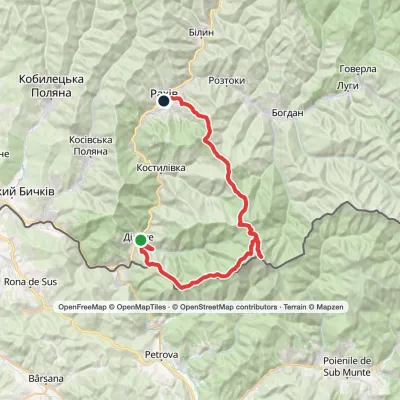 HardMulti-dayDilove village to Rakhivvia Mount Zherban, Mount Pip Ivan MarmaroskyiElevation profile346–1 936 m44.9 kmascent 1 990 m
 HardMulti-dayDilove village to Kostylivka villagevia Mount Pip Ivan MarmaroskyiElevation profile346–1 521 m37.9 kmascent 1 570 m≈ 12.5 h walking
Peaks and meadows
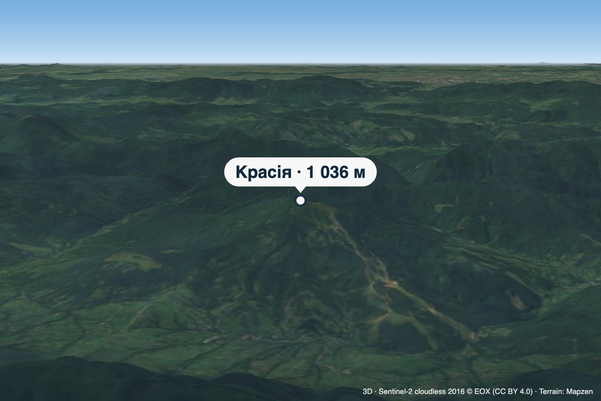 PeakMount KrasiiaVyshkaaltitude 1 036 mKrasiia is a 1,036 m mountain in the Eastern Beskids above the village of Vyshka in the Uzhhorod (formerly Velykyi...
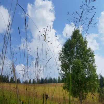 Mountain meadow1 184 mPolonyna ShuvarenkoNadvirna districtShuvarenko Polonyna is a high mountain meadow in the Ukrainian Carpathians, located in Ivano-Frankivsk region near...
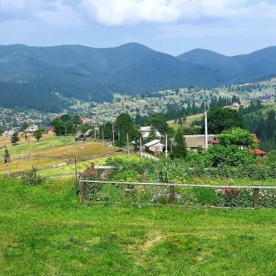 PeakMount OseredokVorokhtaaltitude 915 m · Chornohora range1 trail to the topOseredok is a modest 915 m summit right above Vorokhta (about 2 km), north of the Chornohora range, in Ivano...
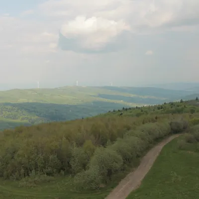 PeakMount TsiukhivOrivaltitude 939 m · Gorgany range6 trails to the topTsiukhiv (also Tsiukhiv Dil or Tsiukhiv Verkh) is a 939 m mountain (939.4 m exactly; old maps give 942 m or 931 m) in...
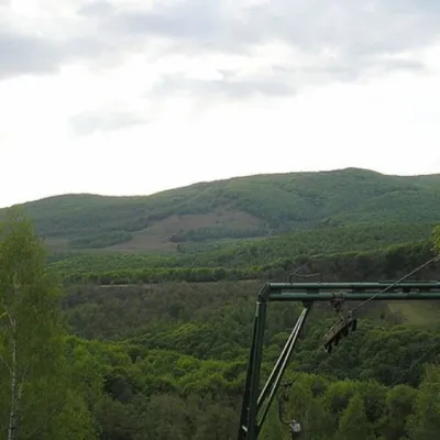 PeakMount BuzhoraOsiialtitude 1 085 m · Volcanic Carpathians range1 trail to the topMount Buzhora is the highest peak of the Volcanic Ridge of Ukrainian Carpathians.
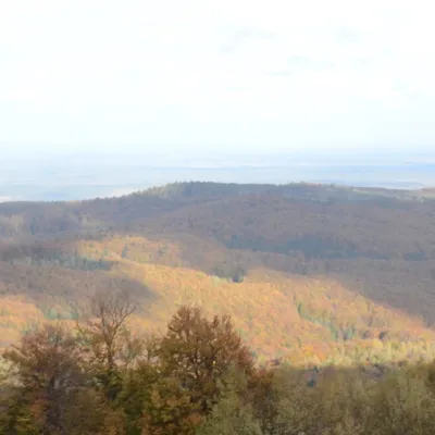 PeakMount BobovyshcheOrivaltitude 817 m4 trails to the topBobovyshche (also called Popivska) is an 817 m mountain in the Upper Dniester Beskids, Lviv Oblast.
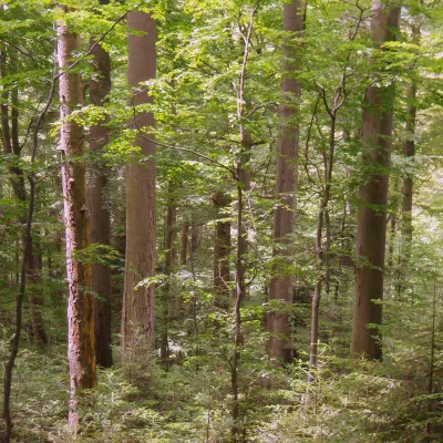 PeakMount KalnytsiaStuzhytsiaaltitude 1 004 mKalnytsia (Slovak: Kalnica) is a 1,004 m mountain on the state border between Ukraine and Slovakia, in the Bukovské...
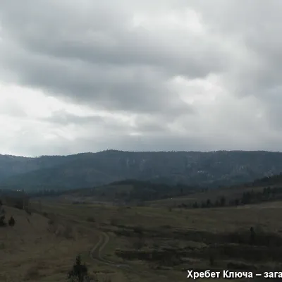 PeakMount YavorinkaTrukhanivaltitude 940 m3 trails to the topThe top of Mount Yavorinka is 940 meters above sea level. Mount Yavorinka is the highest peak of the Klyucha ridge,...
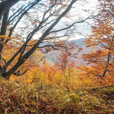 PeakMount Dil (Krushelnytsia)Krushelnytsiaaltitude 899 m · Skole Beskids rangeIt lies north-east of the Parashka ridge, about 2.6 km from Parashka itself (1,268 m), and rises above the village of...
Waters and waterfalls
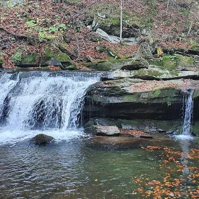 WaterfallKrushelnytskyi waterfallKrushelnytsiaThe real decoration of the mighty Carpathian Mountains is its numerous picturesque waterfalls.
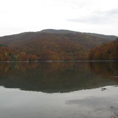 LakeVilshany ReservoirVilshanyThe Vilshany Reservoir, also called the Tereblia-Rika Reservoir, is a narrow mountain lake in the Tereblia valley...
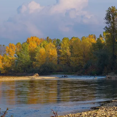 RiverTysa River (Tisza)RakhivThe Tysa (Tisza) is the main river of Zakarpattia. It begins on the north-eastern edge of Rakhiv, where the Chorna...
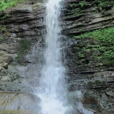 WaterfallLazny waterfallDrohobych districtLaznyi is a waterfall in the Ukrainian Carpathians (in the Skole Beskydy massif), a hydrological natural monument of...
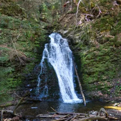 WaterfallSopit waterfallSopitSopit (Sopitsky ) is a waterfall in the Ukrainian Carpathians on the territory of the Skole Beskydy National Nature...
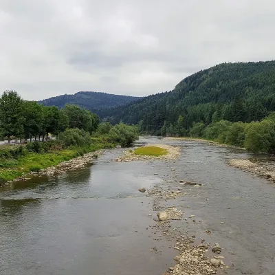 RiverOpir RiverSkoleThe Opir is a 58-km mountain river of the Skole Beskids. It rises on the eastern slope of Mount Velykyi Yavirnyk,...
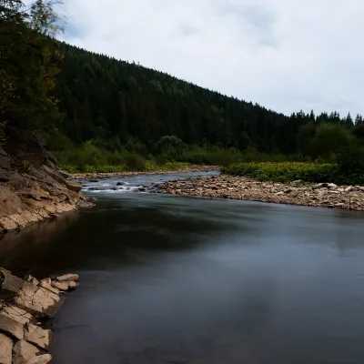 RiverSvicha RiverVyhodaThe Svicha is a 107-km right-bank tributary of the Dniester. It rises on the northern slopes of the main Gorgany...
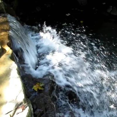 WaterfallBagrovetsky waterfallYaremcheBagrovetsky Waterfall is one of the most famous waterfalls in the Yaremche region, located in the city of Yaremche.
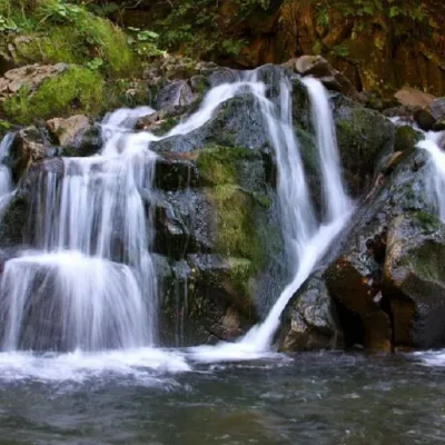 WaterfallKamianka waterfallDubyna"Kamianka Waterfall or Kamianka Waterfall is the most famous waterfall located on the mountain river of the same name...
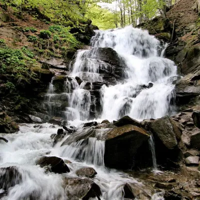 Waterfall"Shypit Waterfall" PylypetsPylypetsIn a cozy corner of the Carpathian Mountains, among the evergreen mountain forests and steep, sharp cliffs, lies the...
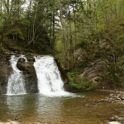 WaterfallGurkalo waterfallKorchynGurkal, located on the Velyka Richka River, has a very eloquent name! You can't argue with it, especially when the...
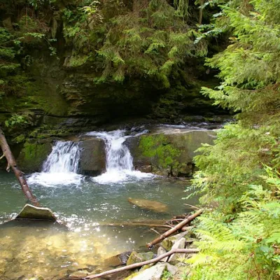 WaterfallWaterfall Maiden's Tears, YaremcheYaremcheMaiden's Tears is a waterfall in the Ukrainian Carpathians (Gorgany massif).
Mountain ranges: In other countries: 🇸🇰 Greater Fatra, 🇸🇰 Strážov Mountains, 🇨🇿 White Carpathians, 🇸🇰 Low Tatras, 🇸🇰 Lesser Fatra, 🇸🇰 Štiavnica Mountains, 🇨🇿 Moravian-Silesian Beskids, 🇸🇰 Slovak Ore Mountains, 🇸🇰 Kysuce Beskids, 🇸🇰 Volovec Mountains, 🇸🇰 Javorníky, 🇸🇰 Slovak Paradise, 🇸🇰 Western Tatras, 🇵🇱 Low Beskids
Trails and peaks near which naturalists recorded the species (GBIF, iNaturalist), matched by altitude and habitat. Sightings are not guaranteed.
Sources
- Вікіпедія: Підбіл звичайний
- Wikipedia (en): Tussilago
- Wikipedia (en): Petasites hybridus
- iNaturalist: Tussilago farfara (спостереження в Карпатах)
GBIF · iNaturalist · Wikidata · Distribution data: GBIF.org (CC0 and CC BY records), iNaturalist; names and identifiers: Wikidata (CC0). Text: Karpaty.rocks, checked 09.11.2026.
