Mount Uria
Uria (also spelled Urya) is a 1,447 m mountain (some sources give 1,445 m) in the Gorgany range. It lies in the northern part of the Tiachiv district of Zakarpattia Oblast, at the head of the Brusturianka valley. The nearest village in our catalogue is Lopukhiv, about 11 km away.
The summit is treeless, and the steep slopes are covered with beech and spruce forest. Together with several neighbouring tops, Uria forms a distinct crescent-shaped ridge, separated from other ridges on almost all sides by the deep valleys of the Brusturianka and its left tributaries.
How to get there
Our site has no marked route to Uria, and the mountain lies well away from popular hiking trails. The approach is up the Brusturianka valley from Lopukhiv along forest roads, then off-path. This is a climb for fit hikers with good navigation skills.
Water, shelter and safety
The nearest roof on our map is the «Uria» forester's hut, about 1.7 km from the summit; several more forester's huts stand lower in the valley, 2.5–3.5 km away. A spring above Lopukhiv is marked about 3 km away, but the valleys here have plenty of streams. Mobile coverage in the remote valleys is unreliable — tell someone your route and return time, carry a power bank and a track in your navigation app. In an emergency call 112 or 101 — contacts of the nearest units are on the mountain rescue page.
Interesting facts
- Thanks to its distance from villages and hiking routes, valuable natural habitats — clear streams and forests — have survived around Uria.
- The Uria ridge has a distinct crescent shape and is surrounded by deep valleys on almost all sides.
Location on the map
Comments
Places to stay nearby
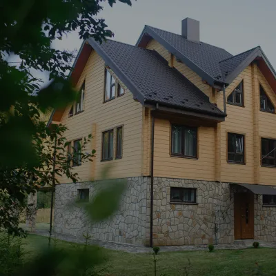
 Homestead"U Davidka i Matviika"15 km from Mount UriaFireplaceKitchenParkingNearby: Mt Petros Gorgansky 4.6 kmMt Studenets 3.8 km2 trails
 HomesteadHomestead "Albertville" Osmoloda15 km from Mount UriaFireplaceKitchenParkingNearby: Mt Petros Gorgansky 4.8 kmMt Studenets 4.0 km2 trails
 HomesteadHomestead "Faini Karpaty" Osmoloda15 km from Mount UriaSaunaBBQKitchenNearby: Mt Petros Gorgansky 4.6 kmMt Studenets 3.8 km2 trails
Trails nearby
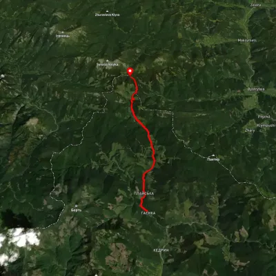 ModerateTwo-dayMarkedRushchyna polonyna Ust-ChornaElevation profile749–1 405 m14.9 kmascent 1 436 m≈ 6.5 h walking2.3 km from Mount Uria
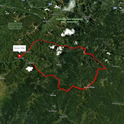 HardMulti-dayUnmarkedLopukhiv village to Ust-Chorna villagevia Legioniv Pass, Peklo tract +3Elevation profile522–1 809 m94.1 kmascent 3 095 m2.4 km from Mount Uria
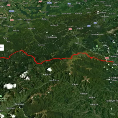 HardMulti-dayUnmarkedRakhiv to Osmoloda villagevia the Svydovets ridge, the Bratkivskyi ridge +2Elevation profile445–1 846 m86.8 kmascent 3 924 m2.5 km from Mount Uria
Nearby attractions
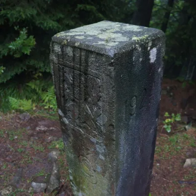 PeakMount Pantyraltitude 1 213 m · Gorgany range4 km from Mount UriaPantyr is a mountain in the south-eastern Gorgany, on the border of the Nadvirna district (Ivano-Frankivsk Oblast) and the Tiachiv district (Zakarpattia Oblast).
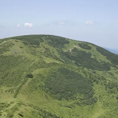 PeakMount Durniaaltitude 1 704 m · Gorgany range6.8 km from Mount Uria7 trails to the topMount Durnia is a 1704-meter (according to other sources, 1709-meter) peak of the Ukrainian Carpathians of the Horhan mountain range, located on the Bratkivsky ridge.
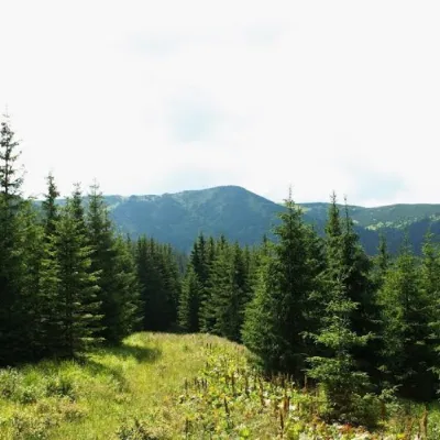 PeakMount Bertaltitude 1 666 m · Gorgany range7.8 km from Mount Uria2 trails to the topMount Bert is a peak in the Ukrainian Carpathians, which is located on the territory of the Pryvododilni Gorgany.