Hungarian snowbell
About
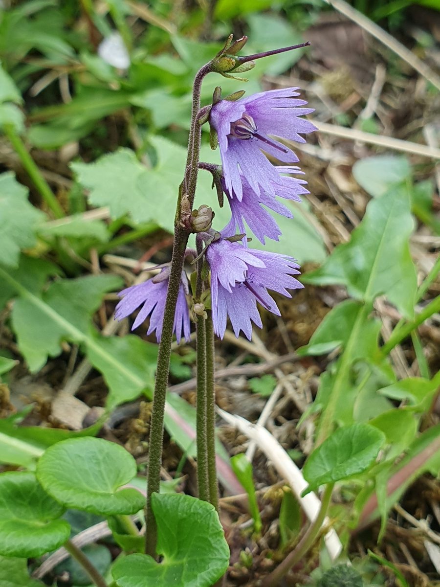
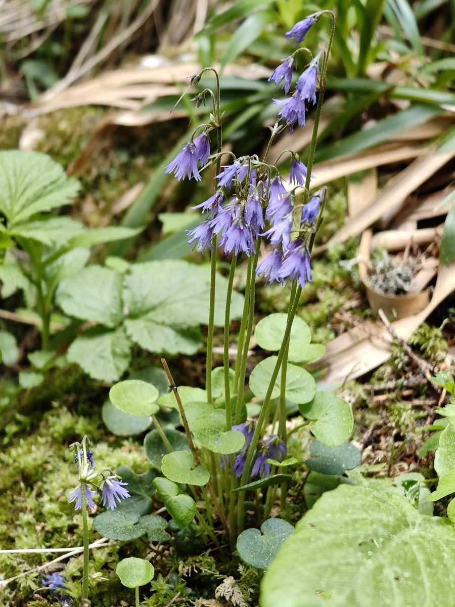
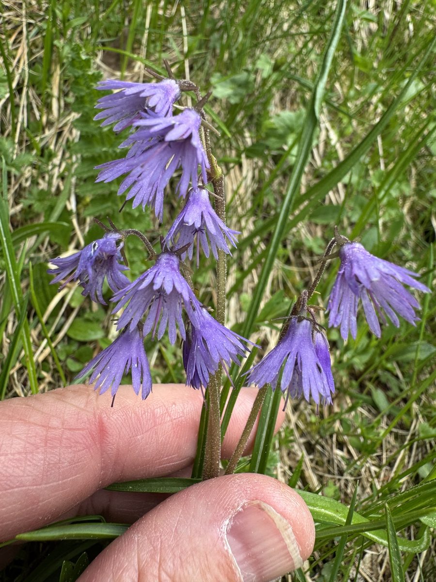
Soldanella hungarica is a small plant that seems unafraid of the cold. Its fringed bells appear in high mountain meadows right after the snow melts, often breaking through a thin layer of thawed snow. Therefore, it blooms when there is still snow on the polonynas, from May to July, depending on the altitude and the year.
The plant is 5–10 cm tall. The leaves are gathered in a basal rosette, rounded, kidney-shaped, leathery, entire, resembling coins, hence the Ukrainian name 'monetnytsia'. On a thin stem, there are one to three drooping flowers with a purple or lilac corolla 8–12 mm long, deeply divided into narrow segments, resembling fringes.
The species has a small range: the Eastern and Southern Carpathians in Ukraine and Romania. In the Ukrainian Carpathians, Soldanella grows above the tree line, in subalpine and alpine meadows, near snowfields and in depressions where snow lingers for a long time. It is known on the Chornohora ridge, particularly on Howerla, Pożyżewska, and Hutin-Tomnatyk, on Świdowiec and on Mount Pip Ivan Marmarosky.
Soldanella is not listed in the current Red Book of Ukraine, but most of its habitats lie within the Carpathian Biosphere Reserve and the Carpathian National Nature Park. It is best seen in early summer on the trails to Howerla and along the Chornohora ridge: watch your step near the edges of the snowfields.
Where in the Carpathians

The map shows where naturalists recorded the species (GBIF, CC0 and CC BY records), not every place it lives. The Ukrainian Carpathians are less studied, so a blank area does not mean the species is absent.
- Countries
- Ukraine · Romania · Slovakia
- Mountain ranges
- Chornohora, Maramureș Mountains, Svydovets, Făgăraș Mountains, Bucegi Mountains, Piatra Craiului, Bihor-Vlădeasa Mountains, Krasna Polonyna, Borzhava, Rodna Mountains
- Altitude belts
- Beech forests (600–1200 m) · Conifer forests (1200–1600 m) · Subalpine belt (1600–1900 m) · Alpine belt (above 1900 m)
When to see it
| Jan | Feb | Mar | Apr | May | Jun | Jul | Aug | Sep | Oct | Nov | Dec | |
|---|---|---|---|---|---|---|---|---|---|---|---|---|
| Flowering |
From naturalists’ observations in the Carpathians (iNaturalist, research grade): the darker the cell, the more often the species is seen that month.
Protection and rules
Not listed in the Red Book of Ukraine. Mostly grows in protected areas — do not pick and stay on the trail.
FAQ
When does Soldanella bloom on Chornohora?
Right after the snow melts, usually from May to July, depending on the altitude and the year.
Where can I see Soldanella in the Carpathians?
On the polonynas above the tree line on Chornohora, Świdowiec, and Mount Pip Ivan Marmarosky, near snowfields in early summer.
Similar species
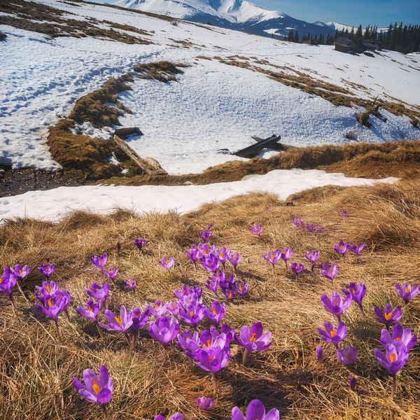
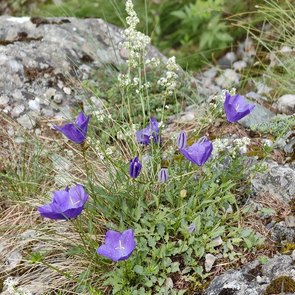
Where to meet it
Trails
 HardMulti-dayDilove village to Yablunytsia villagevia Mount Pip Ivan Marmaroskyi, Mount Hoverla +4Elevation profile346–2 035 m156.7 kmascent 9 949 m
 HardMulti-dayDragobrat to Krasna villagevia Mount Stih, Mount Velykyi Kotel +2Elevation profile421–1 762 m35.3 kmascent 871 m≈ 10.5 h walking
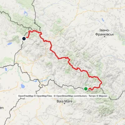 HardMulti-dayMarkedTranscarpathian Tourist TrailElevation profile202–2 061 m393.2 kmascent 17 790 m
 HardMulti-dayMarkedZaroslyak base to Luhy villagevia Lake Nesamovyte, Mount Rebra +1Elevation profile673–1 967 m27.7 kmascent 741 m≈ 8.5 h walking
 HardMulti-dayMarkedDilove village to Zaroslyak basevia Mount Pip Ivan Marmaroskyi, Mount Pip Ivan Chornohirskyi +1Elevation profile370–2 028 m85 kmascent 3 679 m
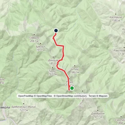 ModerateOne-dayLake Brebeneskul to Zaroslyak basevia Mount Hutyn Tomnatyk, Lake NesamovyteElevation profile1 261–1 988 m11.9 kmascent 340 m≈ 3.5 h walking
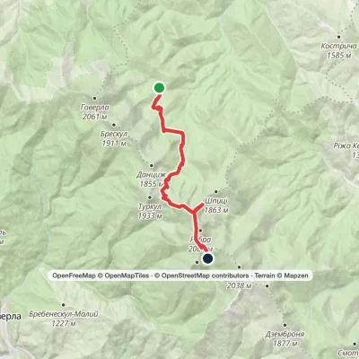 ModerateOne-dayMarkedZaroslyak base to Lake Brebeneskulvia Lake Nesamovyte, Mount ShpytsiElevation profile1 272–1 969 m13.6 kmascent 788 m≈ 5 h walking
 HardMulti-dayZaroslyak base loopvia Mount Shpytsi, Mount Rebra +3Elevation profile1 260–2 035 m29.3 kmascent 1 632 m≈ 10.5 h walking
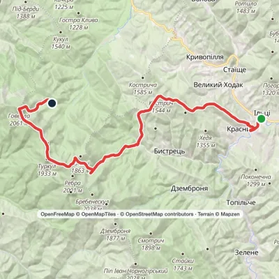 HardMulti-dayKrasnyk village to Zaroslyak basevia Mount Shpytsi, Lake Nesamovyte +1Elevation profile637–2 061 m35.2 kmascent 2 574 m≈ 14 h walking
 ModerateTwo-dayMount Berliaska to Lake Dohiaskavia Mount Unhariaska, Mount TroiaskaElevation profile1 451–1 762 m15.7 kmascent 596 m≈ 5 h walking
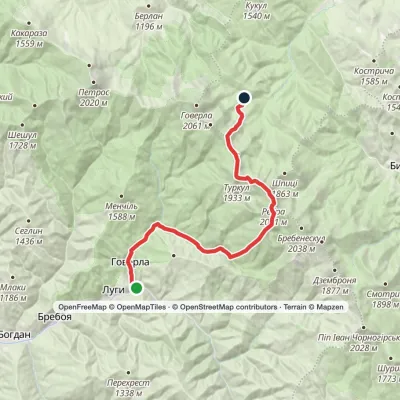 HardTwo-dayLuhy village to Zaroslyak basevia Mount Hutyn Tomnatyk, Mount Rebra +2Elevation profile647–2 016 m22.4 kmascent 1 721 m≈ 9 h walking
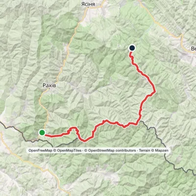 HardMulti-dayMarkedDilove village to Zaroslyak basevia Mount Pip Ivan Marmaroskyi, Mount Pip Ivan Chornohirskyi +1Elevation profile346–2 028 m75.1 kmascent 3 936 m
Peaks and meadows
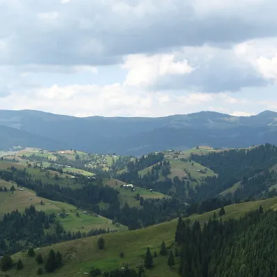 PeakMount KernychnyZelenealtitude 1 589 m · Chyvchyny range2 trails to the topKernychnyi is a 1,589-meter peak of the Ukrainian Carpathians, which is located in the Chyvchyn Mountains of the...
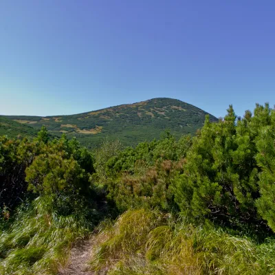 PeakMount GomulBystretsaltitude 1 788 m · Chornohora range15 trails to the topGomul (also known by another name - Khomul) is a 1788-meter peak in the Ukrainian Carpathians, which is located in...
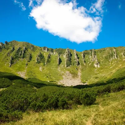 PeakMount ShpytsiBystretsaltitude 1 863 m · Chornohora range35 trails to the topShpytsi (1863 m) is a rocky peak on a north-eastern spur of Chornohora; its slopes are ringed by rows of crags 20–50...
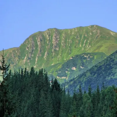 PeakMount RebraBystretsaltitude 2 001 m · Chornohora range91 trails to the topRebra (2001 m) is a peak in the central part of the main Chornohora ridge, on the border of the Ivano-Frankivsk and...
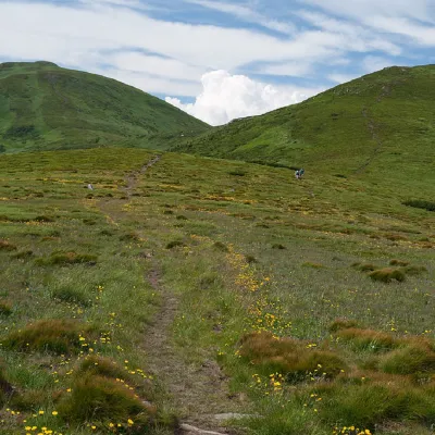 PeakMount PozhyzhevskaBystretsaltitude 1 822 m · Chornohora range83 trails to the topMount Pozhyzhevska (or Pozhezhevska) is one of the peaks of the Ukrainian Carpathians.
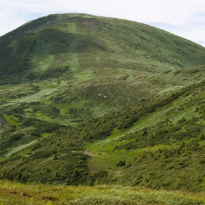 PeakMount BreskulBystretsaltitude 1 911 m · Chornohora range80 trails to the topBreskul (another name for the mountain is Bretskul), 1911 meters high, is a famous mountain peak in the Ukrainian...
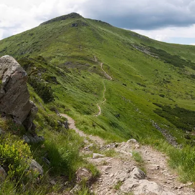 PeakMount TurkulBystretsaltitude 1 933 m · Chornohora range93 trails to the topTurkul, 1933 meters high, is one of the peaks of the Ukrainian Carpathians, located in the Chornohora mountain range.
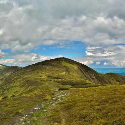 PeakMount DantsizhBystretsaltitude 1 850 m · Chornohora range89 trails to the topDantsizh (also known as Danzer) is a peak of the Ukrainian Carpathians, 1850 meters high.
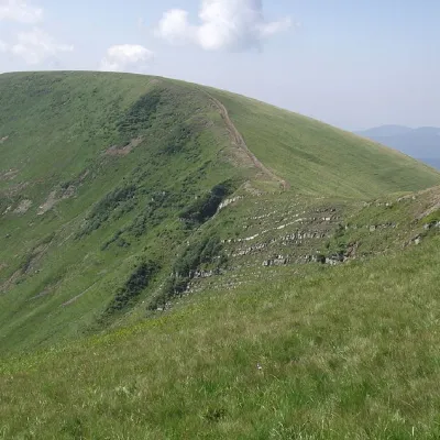 PeakMount DogyaskaChorna Tysaaltitude 1 761 m · Svydovets range38 trails to the topDogyaska is a peak in the Ukrainian Carpathians, located in the central part of the Svydovets mountain range.
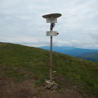 PeakMount HeryshaskaChorna Tysaaltitude 1 762 m · Svydovets rangeMount Heryshaska (1762 m) is a summit on the main ridge of the Svydovets range in Rakhiv district, Zakarpattia Oblast.
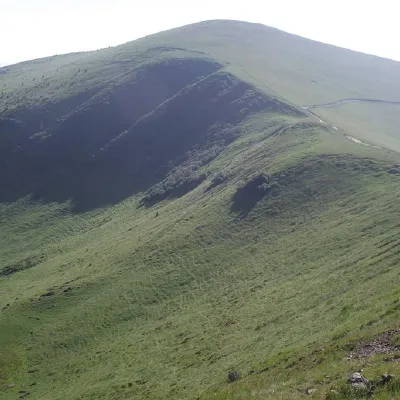 PeakMount TrojaskaChorna Tysaaltitude 1 702 m · Svydovets range37 trails to the topThe mountain is located in Rakhiv district of Zakarpattia region within the central part of the Svydovets mountain...
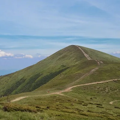 PeakMount Stih (Dragobrat)Yasinyaaltitude 1 704 m · Svydovets range43 trails to the topStih (1704 m; locals say "Stuh") is a peak in the north-eastern part of Svydovets, right above the Drahobrat resort.
Waters and waterfalls
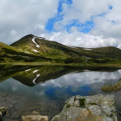 LakeHigh-mountainous Lake Nesamovite (1750 m.a.s.l., Chornohora ridge)VorokhtaNesamovyte is one of the highest lakes in the Ukrainian Carpathians (1750 m above sea level).
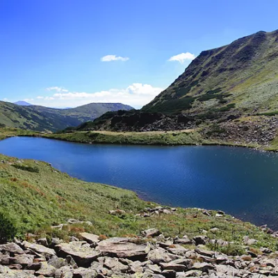 LakeLake BrebeneskulLuhyBrebeneskul is the highest mountain lake in the Ukrainian Carpathians (1801 m above sea level), a hydrological...
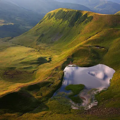 LakeLake Gereshaska (Dogyaska)YasinyaGerashaska (another name - Dogyaska ) is a high-mountain lake in the Ukrainian Carpathians, within the Rakhiv...
Mountain ranges: Chornohora, Maramureș Mountains, Svydovets, Krasna Polonyna, Borzhava, Gorgany. In other countries: 🇷🇴 Făgăraș Mountains, 🇷🇴 Bucegi Mountains, 🇷🇴 Piatra Craiului, 🇷🇴 Bihor-Vlădeasa Mountains, 🇷🇴 Rodna Mountains, 🇸🇰 Volovec Mountains, 🇸🇰 Slovak Paradise
Trails and peaks near which naturalists recorded the species (GBIF, iNaturalist), matched by altitude and habitat. Sightings are not guaranteed.
Sources
- Вікіпедія: Монетниця угорська
- Plants of the World Online: Soldanella hungarica
- Kobiv Y. et al. Distribution and population status of rare plant species in the Marmarosh Mountains. Ukr. Bot. J., 2017, 74(2): 163–176
- GBIF: список рослин і грибів Червоної книги України за наказом № 111 (з категоріями)
GBIF · iNaturalist · Wikidata · Distribution data: GBIF.org (CC0 and CC BY records), iNaturalist; names and identifiers: Wikidata (CC0). Text: Karpaty.rocks, checked 09.11.2026.
