Mount Shpytsi
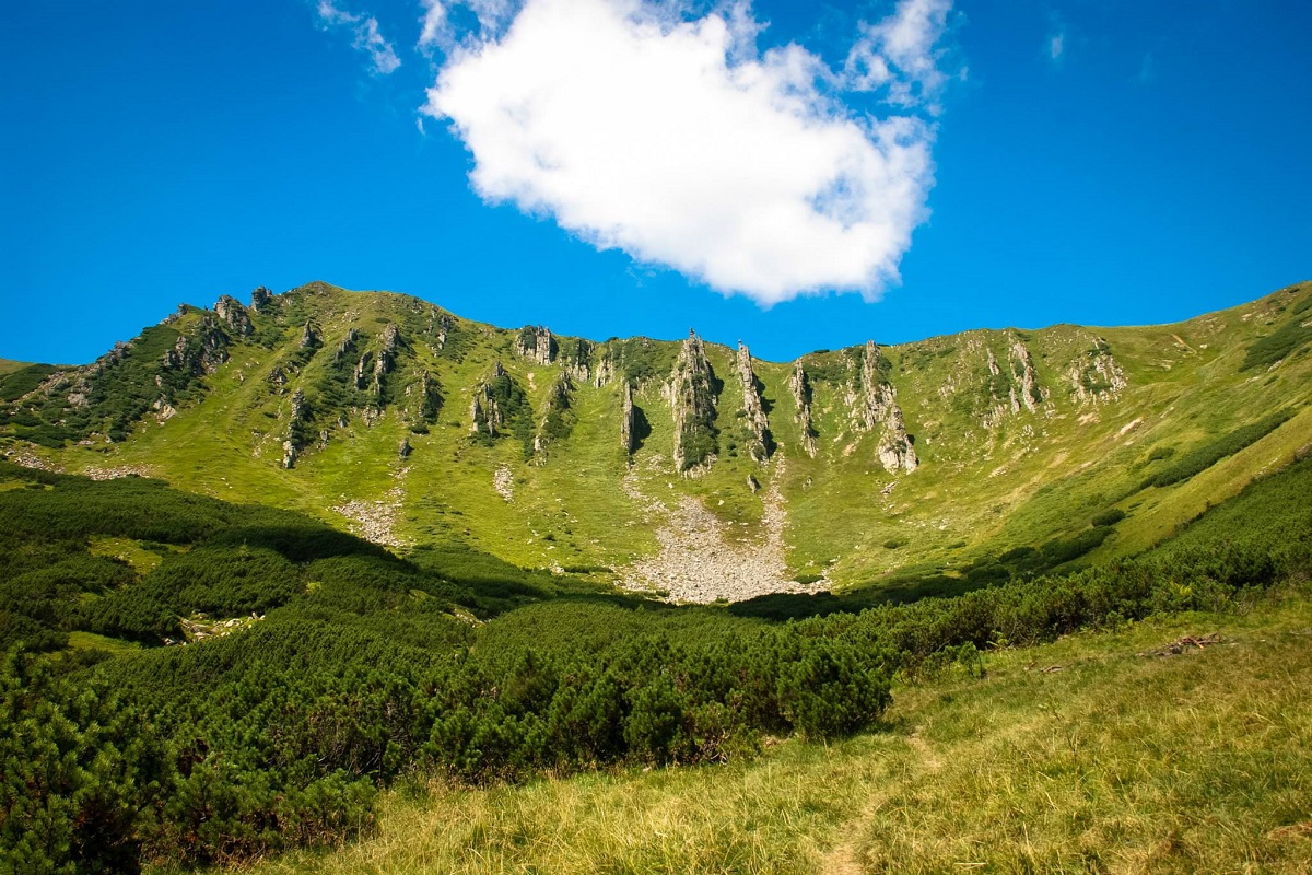
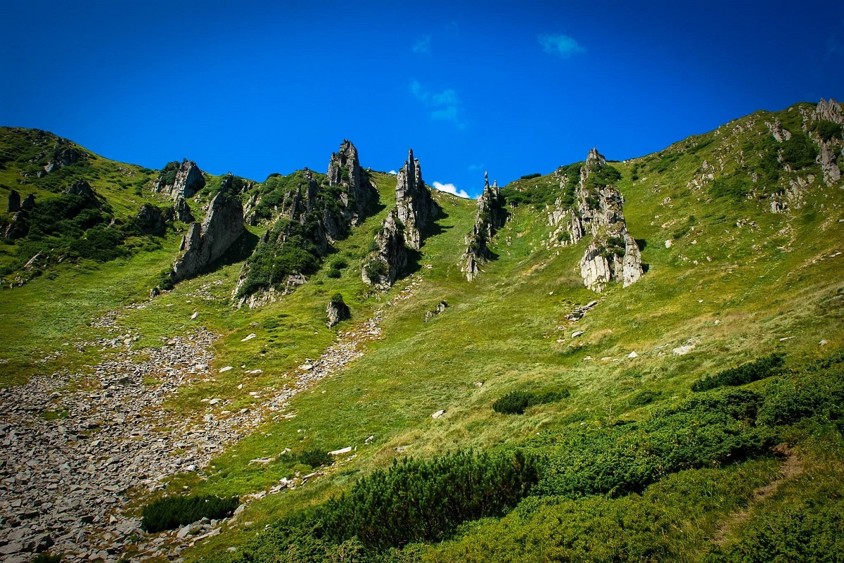
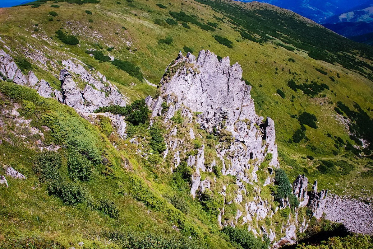
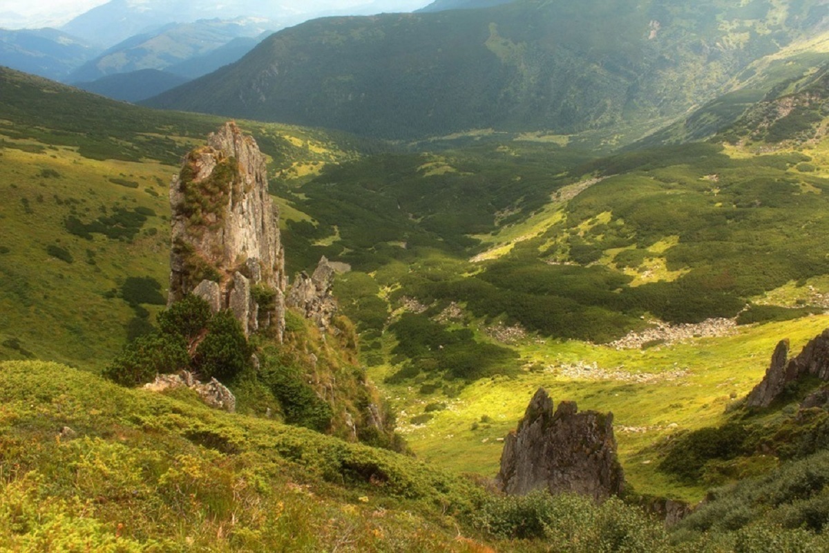
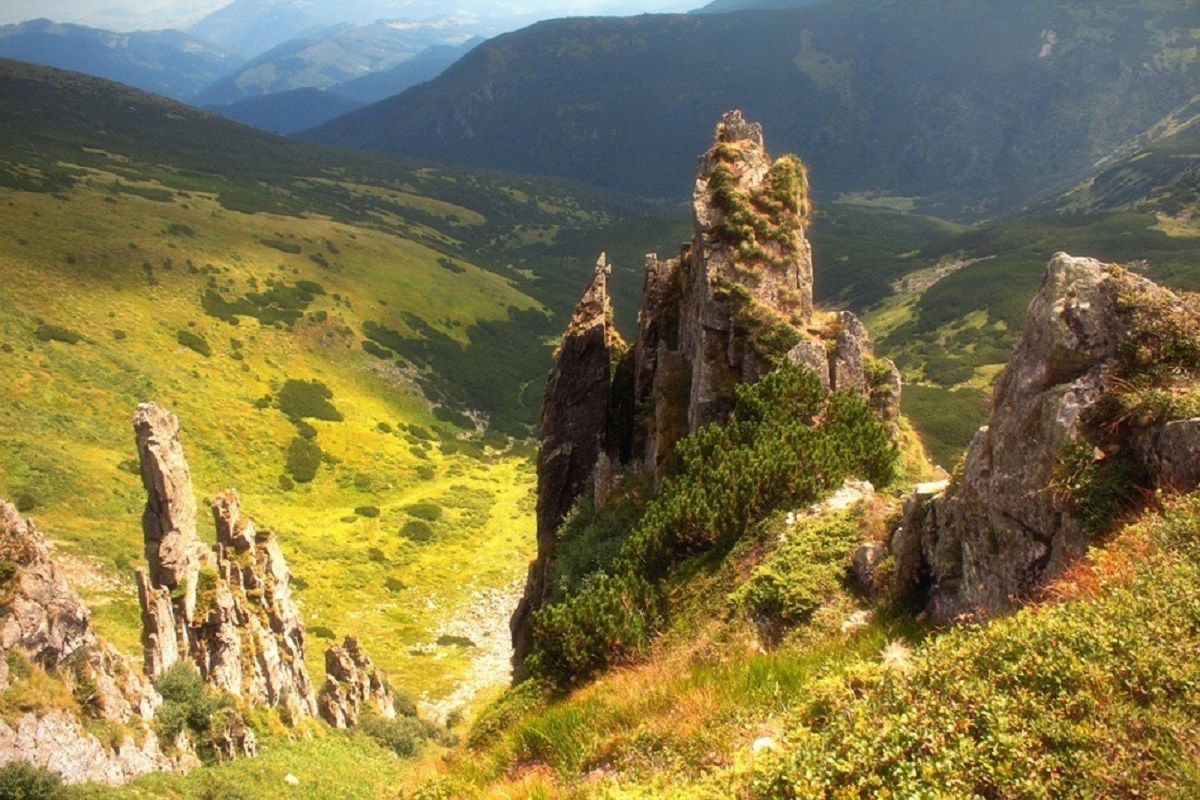
Shpytsi is a mountain of the Ukrainian Carpathians, 1863 m high, which lies on the territory of Verkhovyna district of Ivano-Frankivsk region. The peak is located in the Carpathian National Reserve in the central part of the Chornohora mountain range, several kilometers northeast of the main ridge, with which it is connected by a gentle bridge.
The Shpytsi is one of the most interesting and unusual mountains in the Ukrainian Carpathians. The fact is that its slopes are encircled by 20-50-meter rocky ledges (in some places there are up to 15 rows), which resemble huge stone spikes in their shape (hence the name of the peak).
To the north-west of Mount Spires is the basin of Mount Danciz (1850 m), to the north - Mount Gomul (1788 m), and to the northeast - Mount Wielkie Mariszewska (1567 m), to the south - Mount Brebeneskul (2035 m).
The slopes of the mountain are covered with semi-shrub and grass alpine and subalpine meadows.
The nearest settlement is the village of Bystrets (Verkhovyna district, Ivano-Frankivsk region).
Location on the map
Water and shelter nearby
- Spring on Polonyna Hadzhyna520 m · Not verified · 1 646 m
- Spring on Polonyna Hadzhyna (2)550 m · Not verified · 1 629 m
- Dovbush's Well1.7 km · Not verified · 1 315 m
- Hut on Polonyna Hadzhyna2 km · Not verified · 1 211 m
- Spring below Mount Turkul (5)2 km · Not verified · 1 745 m
- Spring below Mount Homul (3)2 km · Not verified · 1 371 m
- Spring below Mount Homul (4)2.1 km · Not verified · 1 356 m
- Spring below Mount Homul (2)2.1 km · Not verified · 1 387 m
- Spring below Mount Turkul (4)2.1 km · Not verified · 1 739 m
- Spring below Mount Homul (5)2.1 km · Not verified · 1 349 m
- Spring below Mount Homul2.3 km · Not verified · 1 366 m
- Spring below Mount Dantsizh (2)2.3 km · Not verified · 1 662 m
- Spring below Mount Hutyn Tomnatyk (2)2.4 km · Not verified · 1 918 m
- Spring below Mount Hutyn Tomnatyk (3)2.4 km · Not verified · 1 881 m
- Spring (Dzembronia)2.6 km · Not verified · 1 170 m
- Spring (Dzembronia, 2)2.6 km · Not verified · 1 333 m
Comments
Places to stay nearby
All stays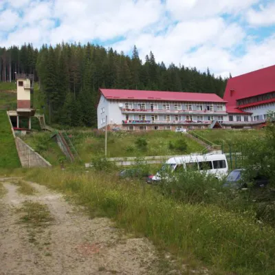 HotelTraining and Sports Base "Zaroslyak" at HoverlaVorokhta4.9 km from Mount ShpytsiPoolSaunaParkingNearby: Polonyna Pozhizhevska 1.2 kmMt Hoverla 2.8 km32 trails
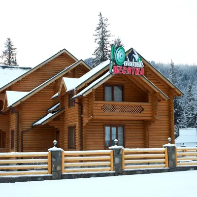 HotelHotel "Desyatka" Vorokhta (near Hoverlyansky Checkpoint)Vorokhta9.3 km from Mount ShpytsiPoolSaunaBreakfastNearby: Mt Kukul 3.6 kmPolonyna Kukul 4.0 km5 trails
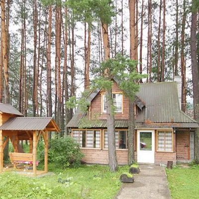 HomesteadHomestead "Sosnovyi Dvir" Vorokhta (Tenth Kilometer)Vorokhta9.6 km from Mount ShpytsiSaunaBBQKitchenNearby: Mt Kukul 3.7 kmPolonyna Kukul 4.1 km5 trails
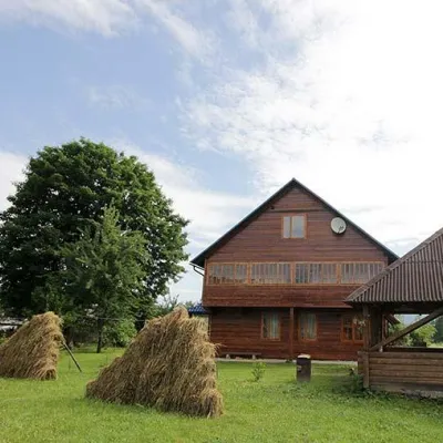 HomesteadHomestead "PID YAVOROM" Vorokhta (Tenth Kilometer)Vorokhta9.6 km from Mount ShpytsiSaunaBBQKitchenNearby: Mt Kukul 3.7 kmPolonyna Kukul 4.1 km5 trails
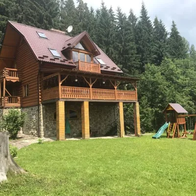 CottageCottage "Try Hory" Vorokhta (Tenth Kilometer)Vorokhta9.6 km from Mount ShpytsiSaunaBBQKitchenNearby: Mt Kukul 3.7 kmPolonyna Kukul 4.1 km5 trails
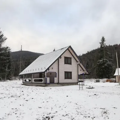 HomesteadHomestead "SWEET HOME" Vorokhta (Tenth Kilometer)Vorokhta9.6 km from Mount ShpytsiSaunaBBQKitchenNearby: Mt Kukul 3.7 kmPolonyna Kukul 4.1 km5 trails
Trails via Mount Shpytsi
All 35 ModerateOne-dayUnmarkedZaroslyak base to Mount Shpytsivia Lake NesamovyteElevation profile1 264–1 922 m9 kmascent 883 m≈ 4 h walking
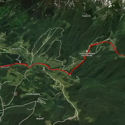 ModerateOne-dayUnmarkedBystrets village Mount ShpytsiElevation profile767–1 781 m12.5 kmascent 1 142 m≈ 5.5 h walking
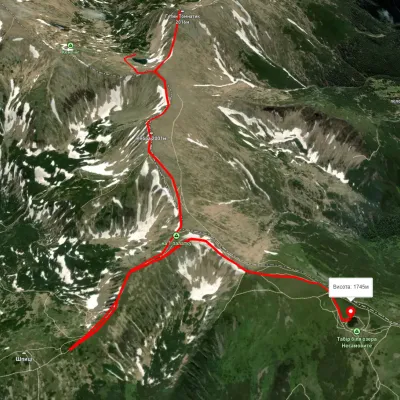 EasyOne-dayUnmarkedLake Brebeneskul to Lake Nesamovytevia Mount Rebra, Mount ShpytsiElevation profile1 737–1 999 m7 kmascent 421 m≈ 2.5 h walking
Nearby attractions
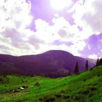 Mountain meadowPolonyna GadzhinaBystretsChornohora rangeunder 1 km from Mount ShpytsiIt seemed that the Chornohora massif was literally crowded with people, but sometimes you can come across places that either locals or tourists who have eaten the dog...
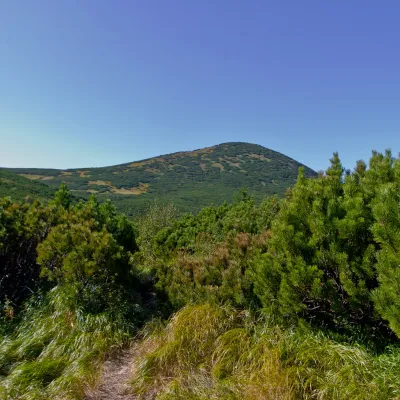 PeakMount GomulBystretsaltitude 1 788 m · Chornohora range1.2 km from Mount Shpytsi15 trails to the topGomul (also known by another name - Khomul) is a 1788-meter peak in the Ukrainian Carpathians, which is located in the Carpathian National Nature Park.
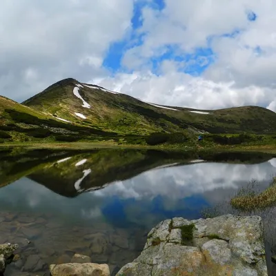 LakeHigh-mountainous Lake Nesamovite (1750 m.a.s.l., Chornohora ridge)Vorokhta2.1 km from Mount ShpytsiNesamovyte is one of the highest lakes in the Ukrainian Carpathians (1750 m above sea level). It is located within the Nadvirna district of Ivano-Frankivsk region.