Mount Gomul
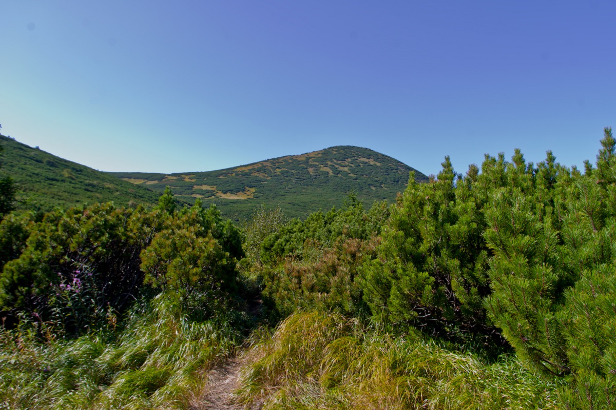
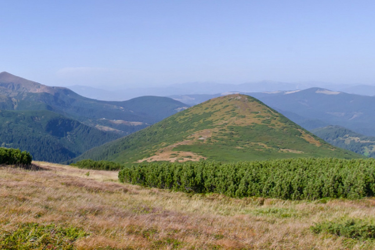
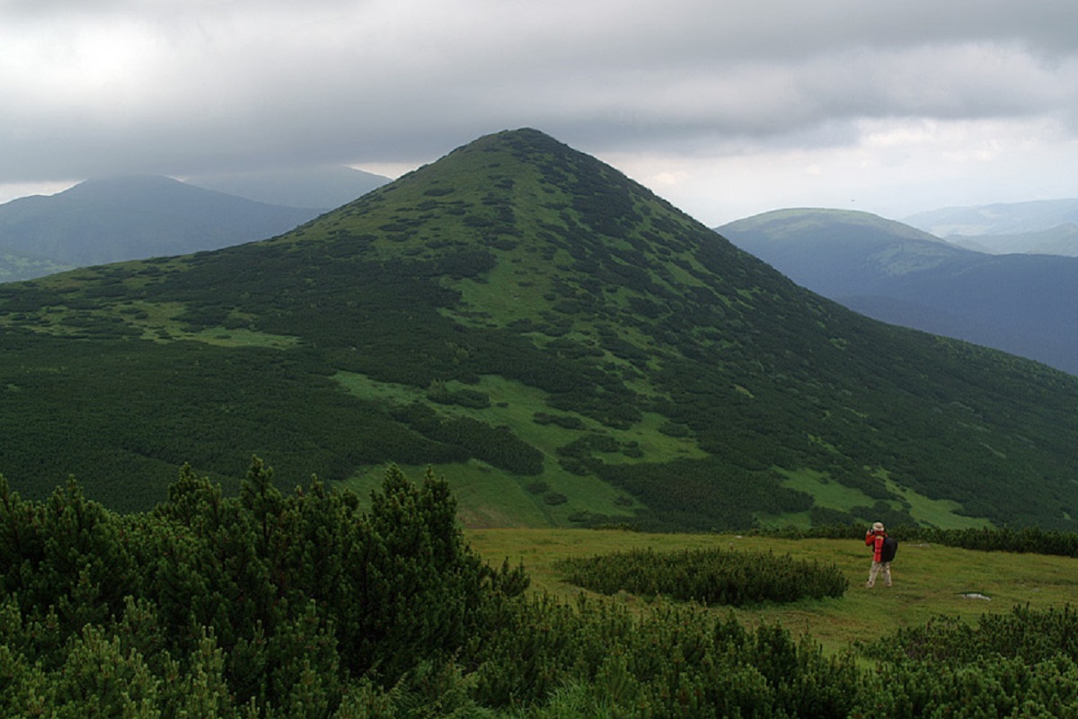
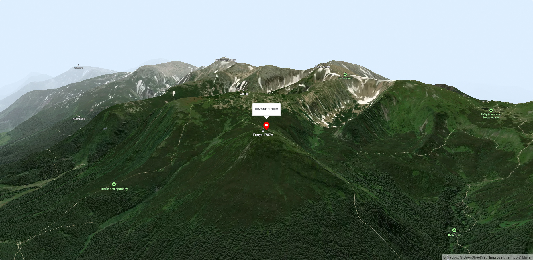
Gomul (also known by another name - Khomul) is a 1788-meter peak in the Ukrainian Carpathians, which is located in the Carpathian National Nature Park. The mountain is located within the Nadvirna district of Ivano-Frankivsk region on the territory of the Chornohora mountain range.
The peak is completely covered with alpine and subalpine vegetation. On the slopes, semi-shrubby thickets of mountain pine - zherepa - are widespread.
The mountain itself is located a little further away from the main Chornohora massif and is the northern spur of Mount Shpytsia. A small stream, the Gomulskyi, originates from the top of the mountain, which later merges with another stream from under Mount Hoverla to form the Prut River.
Not far from Mount Gomul, in addition to Mount Shpytsia, located to the south, there is another equally well-known but much lower peak of Chornohora - Mount Velyka Maryshevska (located northeast of Gomul), which is the highest point of the picturesque Maryshevska meadow.
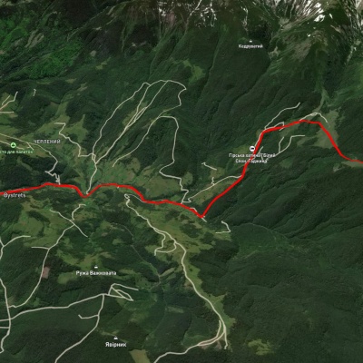
The nearest settlement is the village of Bystrets in the Verkhovyna district of Ivano-Frankivsk region.
Accommodation around Mount Gomul:


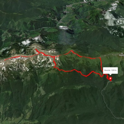
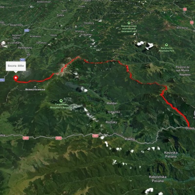
Nearby hiking trails near Mount Gomul:
Які маршрути проходять повз Mount Gomul?
Пропонуємо пройти такі туристичні (пішохідні) маршрути через/біля Mount Gomul: Турбаза "Заросляк", через г. Шпиці, г. Ребра, г. Менчул, г. Туркул, г. Пожижевська до турбази "Заросляк", с. Бистрець – г. Шпиці, с. Ділове, через г. Піп Іван Мармароський, г. Піп Іван Чорногірський, г. Ребра до дороги на Ворохту, турбаза "Заросляк" – г. Шпиці – г. Ребра – турбаза "Заросляк", турбаза "Заросляк" – г. Шпиці, с. Кривопілля, через г. Ребра, г. Бребенескул до с. Дземброня