Heart-leaved comfrey
About
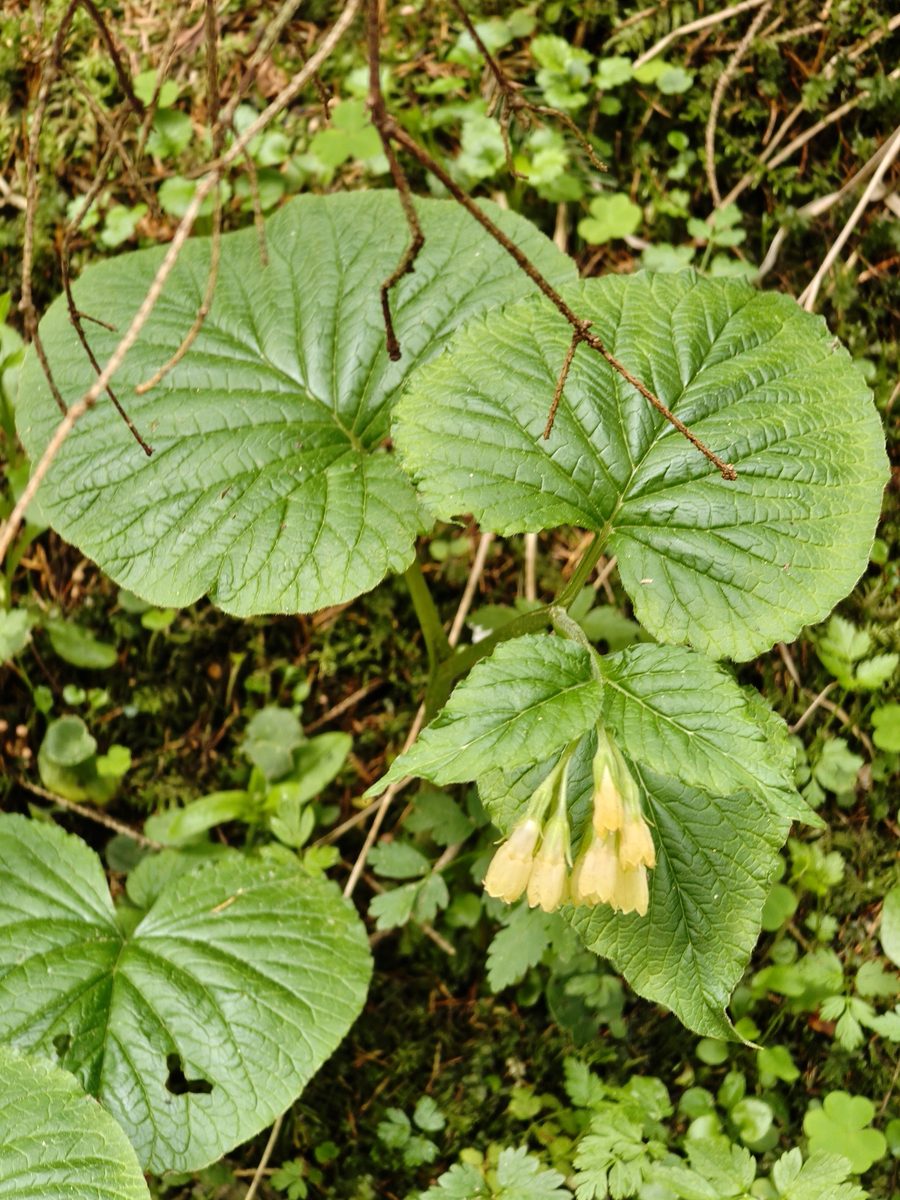
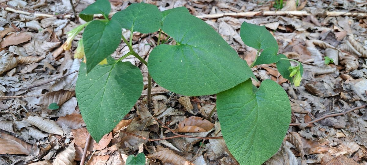
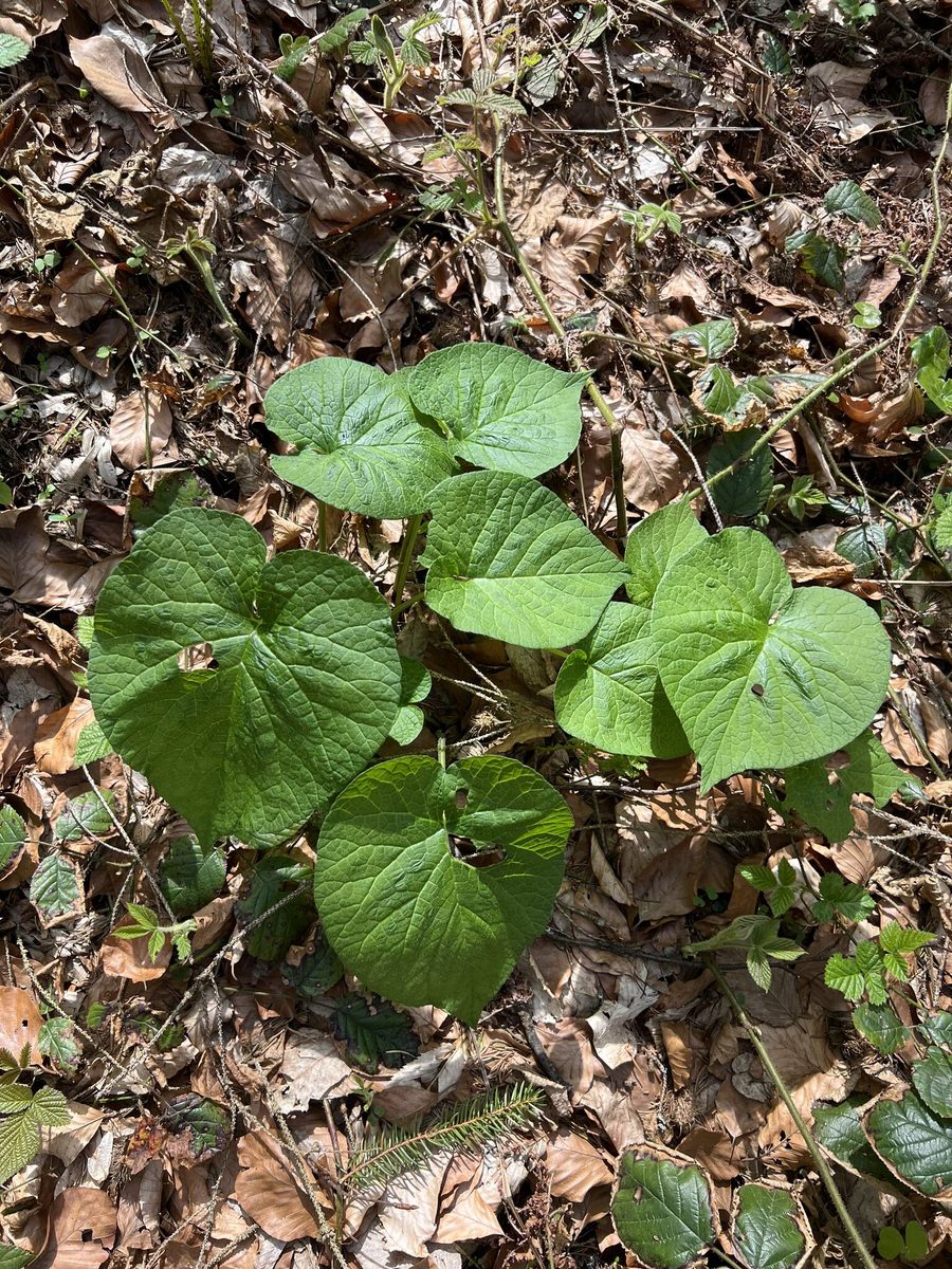
Heart-leaved comfrey is a plant that you won't see far from the Carpathians: botanists call it a Carpathian subendemic because almost the entire range of the species lies in these mountains and the adjacent foothills. It grows 20–40 cm tall. The basal leaves are large, heart-shaped, on long petioles, and rough from sparse hairs. The stem leaves are smaller, and the upper ones are nearly sessile.
Heart-leaved comfrey blooms from April to June. The flowers are pale yellow, creamy, tubular-bell-shaped, about 1.5 cm long, hanging from a twisted corolla that gradually straightens. They are pollinated by bumblebees with long proboscises.
Due to its creeping rhizome, the plant spreads and forms dense thickets. In the Ukrainian Carpathians, heart-leaved comfrey is common in moist beech and fir-beech forests, in shady ravines, and along stream banks—from the foothills to the upper forest boundary, and sometimes even in crooked forests. Its large leaves are noticeable even in summer when flowering has long passed.
It differs from common comfrey, which grows in moist meadows in the valleys, by its heart-shaped basal leaves, smaller height, and always pale yellow flowers; in common comfrey, the flowers are mostly purple, and the leaves are lanceolate and run down the stem.
All comfreys contain alkaloids that are harmful to the liver, so brewing the leaves or roots as tea is not allowed. The species is not listed in the Red Book of Ukraine, but as a species with a small range, it deserves careful treatment.
Where in the Carpathians

Orange — where naturalists recorded the species (GBIF, CC0/CC BY); a blank area does not mean it is absent.
- Countries
- Ukraine · Slovakia · Poland · Romania
- Mountain ranges
- Bieszczady, Chornohora, Maramureș Mountains, Krasna Polonyna, Pokuttia-Bukovina Carpathians, Gorgany, Skole Beskids. In other countries: 🇸🇰 Spiš Magura, 🇵🇱 Pieniny, 🇸🇰 Čergov Mountains, 🇵🇱 Low Beskids, 🇸🇰 Levoča Mountains, 🇵🇱 Sądecki Beskids, 🇷🇴 Bihor-Vlădeasa Mountains
- Altitude belts
- Foothills (below 600 m) · Beech forests (600–1200 m)
When to see it
| Jan | Feb | Mar | Apr | May | Jun | Jul | Aug | Sep | Oct | Nov | Dec | |
|---|---|---|---|---|---|---|---|---|---|---|---|---|
| Flowering | ||||||||||||
| Fruit |
From naturalists’ observations in the Carpathians (iNaturalist, research grade): the darker the cell, the more often the species is seen that month.
Safety
Do not consume: comfreys contain alkaloids that are harmful to the liver.
Protection and rules
Not listed in the Red Book of Ukraine. A Carpathian subendemic.
FAQ
What does 'Carpathian subendemic' mean?
It is a species whose range mostly lies in the Carpathians and only slightly extends to adjacent territories. Heart-leaved comfrey is one of these.
Can heart-leaved comfrey be brewed as tea?
No. Comfreys contain alkaloids that are harmful to the liver.
Comments
Travellers’ experience: reports, tips, questions.
No one has written here yet. Be the first — your experience helps others.
Similar species
Where to meet it
Trails
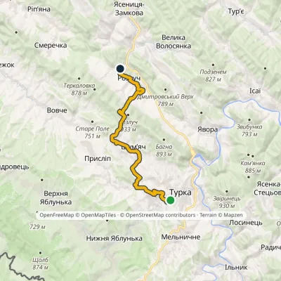 ModerateOne-dayMarkedNo. 5001-1 Turka Rozluchvia source of the DniesterElevation profile539–907 m19 kmascent 568 m≈ 5.5 h walking
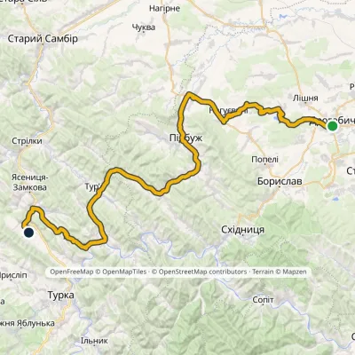 HardMulti-dayMarkedNo. 502-1 Drohobych RozluchElevation profile292–733 m78.1 kmascent 921 m
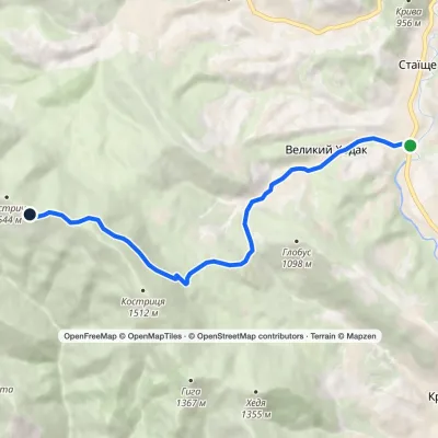 ModerateOne-dayMarkedStaishche Mount KostrychElevation profile697–1 544 m8.1 kmascent 845 m≈ 3.5 h walking
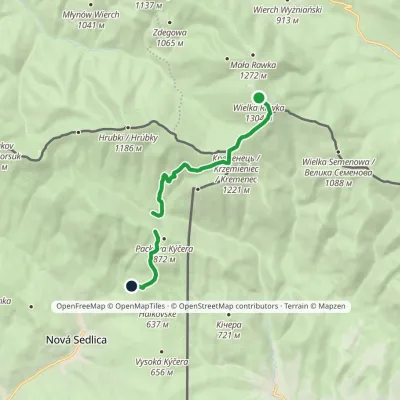 EasyOne-dayMarkedCross-border trail «Brown Bear»: Mount Velyka Ravka Nova SedlytsiaElevation profile586–1 303 m7.9 kmascent 226 m≈ 2.5 h walking
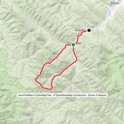 HardTwo-dayMarkedOsmoloda village loopvia Plistse polonyna, Mount Koretvyna +2Elevation profile652–1 740 m42.6 kmascent 1 717 m≈ 13.5 h walking
 ModerateOne-dayMarkedStuzhytsia village Mount KremenetsElevation profile450–1 144 m7.4 kmascent 694 m≈ 3 h walking
 ModerateOne-dayMarkedStuzhytsia village Mount KremenetsElevation profile352–1 221 m16.1 kmascent 869 m≈ 5.5 h walking
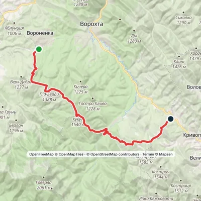 HardOne-dayVoronenko village to Kryvopillia villagevia Mount KukulElevation profile868–1 539 m26.9 kmascent 1 284 m≈ 9 h walking
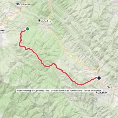 Hard1–2 daysMarkedVoronenko village to Staishche villagevia Mount KukulElevation profile698–1 586 m31.1 kmascent 1 667 m≈ 10.5 h walking
 HardTwo-dayIltsi village to Voronenko villagevia Mount KukulElevation profile637–1 586 m45.8 kmascent 1 957 m
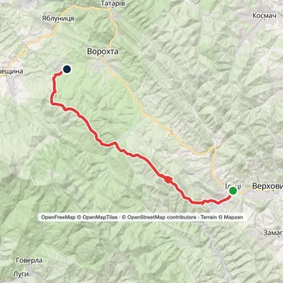 Hard1–2 daysKrasnyk village to Voronenko villagevia Kostrych ridge, Mount KukulElevation profile637–1 586 m39.2 kmascent 1 893 m≈ 13 h walking
 ModerateOne-dayStuzhytsia village loopvia Mount KremenetsElevation profile423–1 299 m17 kmascent 1 013 m≈ 6 h walking
Peaks and meadows
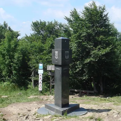 PeakMount KremenetsStuzhytsiaaltitude 1 221 m4 trails to the topKremenets (also known as Kreminets) is a mountain in the Ukrainian Carpathians, one of the highest peaks of the...
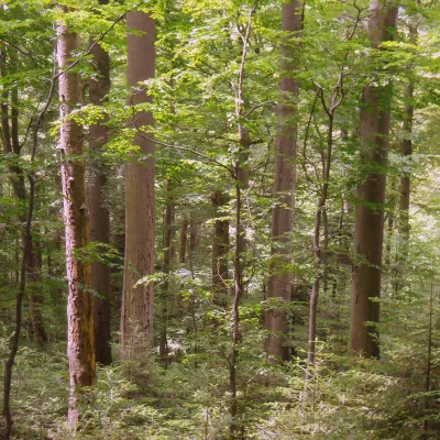 PeakMount KalnytsiaStuzhytsiaaltitude 1 004 mKalnytsia (Slovak: Kalnica) is a 1,004 m mountain on the state border between Ukraine and Slovakia, in the Bukovské...
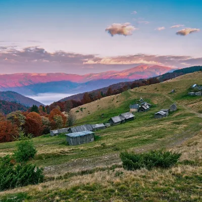 Mountain meadow1 240 mPolonyna Menchul (Kvasy)KvasyMenchul Polonyna above the village of Kvasy is a broad open shoulder on the south-western spur of the Chornohora...
 Mountain meadow674 mPolonyna Rosokhata (Sheshory)SheshoryWhy is the meadow called "Rosokhata"? The two parts of the field that form the branches look like dewdrops.
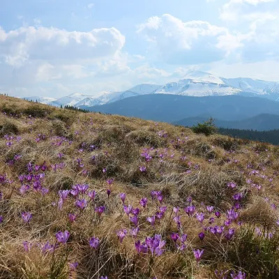 Mountain meadow1 430 mPolonyna ZakukulVorokhtaPolonyna Zakukul lies on the south-eastern slope of Mount Kukul (1539 m), the highest summit of the ridge of the same...
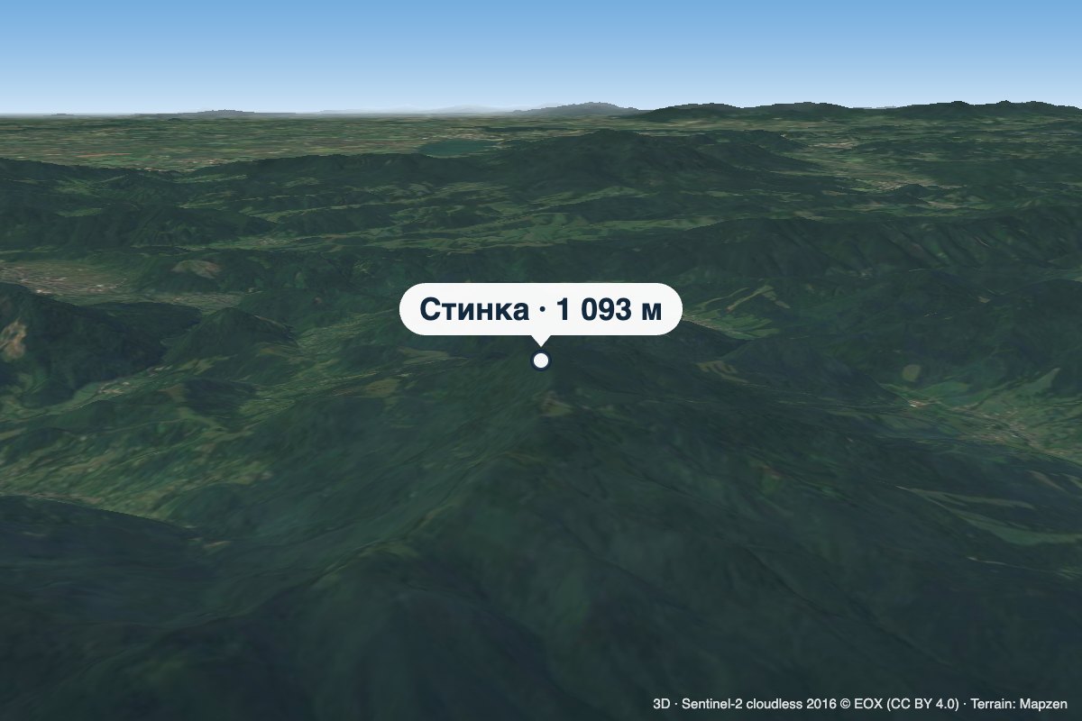 PeakMount StynkaKniahyniaaltitude 1 093 mStynka (Slovak: Stinská) is a 1,093 m mountain on the state border between Ukraine and Slovakia, in the Bukovské...
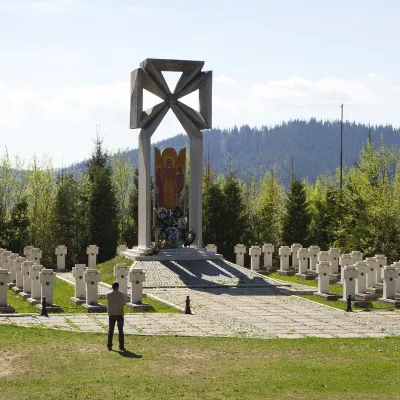 PeakMount MakivkaSlavskealtitude 958 m2 trails to the topMakivka is a mountain in the High Beskid about 8 km north of the town of Slavske in Lviv Oblast.
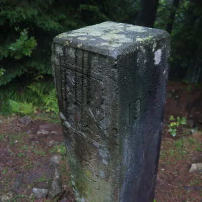 PeakMount PantyrBystrytsiaaltitude 1 213 m · Gorgany rangePantyr is a mountain in the south-eastern Gorgany, on the border of the Nadvirna district (Ivano-Frankivsk Oblast)...
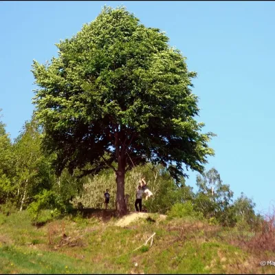 PeakMount KicheraKosivaltitude 567 mThe march to Kichera is an easy walk that all tourists can do. The small length of the march allows you to take your...
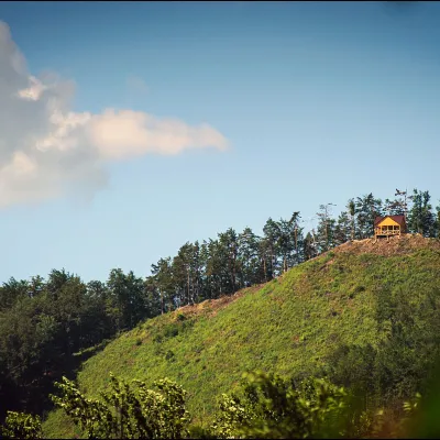 PeakMount Ostry (Ostra)Kosivaltitude 584 m2 trails to the topThe mountain offers wonderful views of the entire Kosiv. The descent is steep, and autumn is magical here.
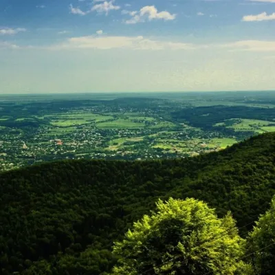 PeakMount Mykhalkova (Kosiv)Kosivaltitude 812 m2 trails to the topMount Mykhalkova (Mykhalkiv), with a height of 812 meters, is part of the Pokuttya Carpathians.
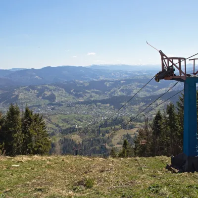 PeakMount TrostianSlavskealtitude 1 232 m · Skole Beskids rangeTrostian is a peak of the Skole Beskids in Lviv Oblast, west of the town of Slavske.
Waters and waterfalls
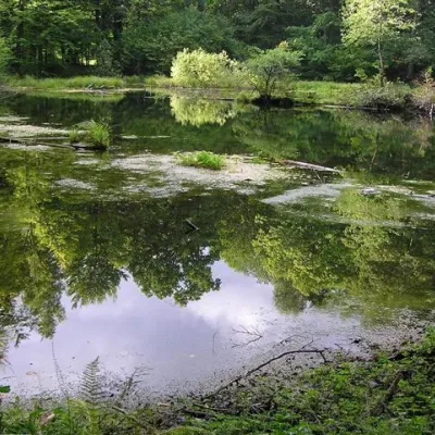 LakeLake Lebedyn (Sheshory)SheshoryLake Lebedyn (Lebedine) is located at an altitude of 650 m amidst beech forests and has been a protected area since...
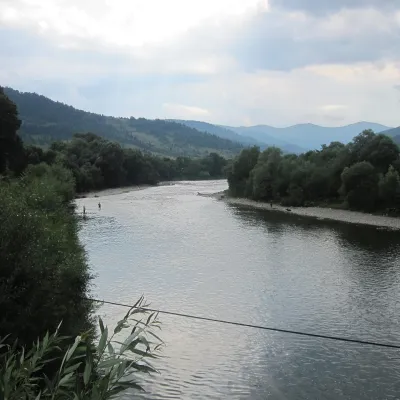 RiverStryi RiverTurkaThe Stryi is one of the largest Carpathian tributaries of the Dniester: 232 km from its source between Mount Yavirnyk...
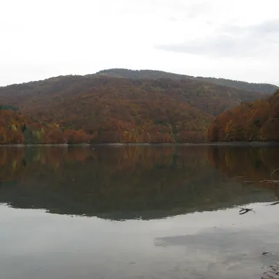 LakeVilshany ReservoirVilshanyThe Vilshany Reservoir, also called the Tereblia-Rika Reservoir, is a narrow mountain lake in the Tereblia valley...
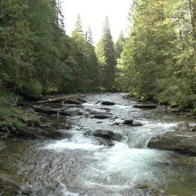 RiverPrutKryvopilliaThe Prut River is a river that connects several countries and is of great natural, historical and cultural importance.
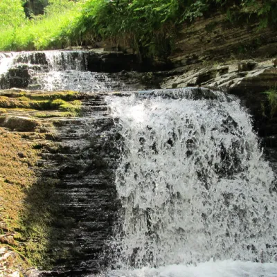 WaterfallSukil WaterfallsSukilNear the village of Sukil in the Bohorodchany urban hromada, the Sukil Waterfalls are truly a paradise for tourists...
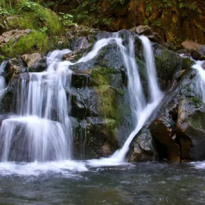 WaterfallKamianka waterfallDubyna"Kamianka Waterfall or Kamianka Waterfall is the most famous waterfall located on the mountain river of the same name...
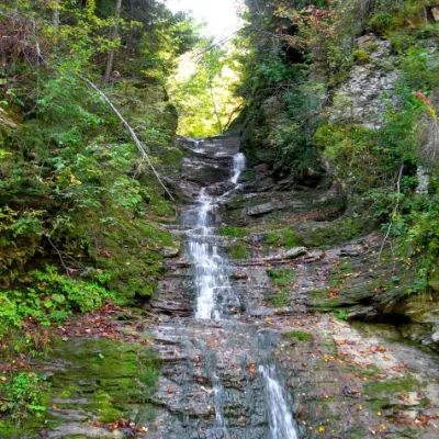 WaterfallBukovinian (Smugar) waterfallsRoztokyA picturesque chain of waterfalls, up to two kilometers long, stretches along the Smuhariv River in Bukovyna, in the...
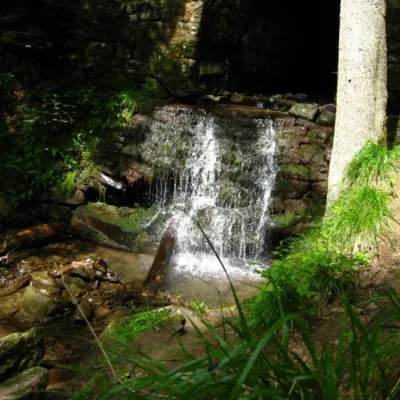 WaterfallLumshory waterfallsLumshoryLumshory waterfalls are a group of waterfalls in the Ukrainian Carpathians, a hydrological natural monument of local...
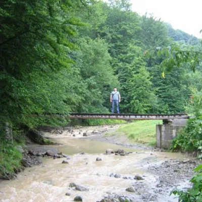 WaterfallMikva waterfallVyzhenkaThe Mykva Waterfall is a small but very picturesque waterfall located in the village of Vyzhenka, Chernivtsi region.
Mountain ranges: Bieszczady, Chornohora, Maramureș Mountains, Krasna Polonyna, Pokuttia-Bukovina Carpathians, Gorgany, Skole Beskids. In other countries: 🇸🇰 Spiš Magura, 🇵🇱 Pieniny, 🇸🇰 Čergov Mountains, 🇵🇱 Low Beskids, 🇸🇰 Levoča Mountains, 🇵🇱 Sądecki Beskids, 🇷🇴 Bihor-Vlădeasa Mountains
Trails and peaks near which naturalists recorded the species (GBIF, iNaturalist), matched by altitude and habitat. Sightings are not guaranteed.
Sources
- Вікіпедія: Живокіст серцеподібний
- Wikipedia (pl): Żywokost sercowaty
- iNaturalist: Symphytum cordatum (спостереження в Карпатах)
GBIF · iNaturalist · Wikidata · Distribution data: GBIF.org (CC0 and CC BY records), iNaturalist; names and identifiers: Wikidata (CC0). Text: Karpaty.rocks, checked 11.11.2026.
