Toothwort (Cardamine glanduligera)
About
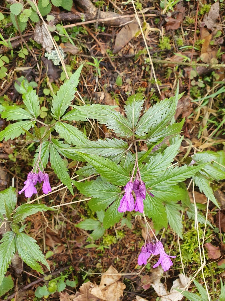
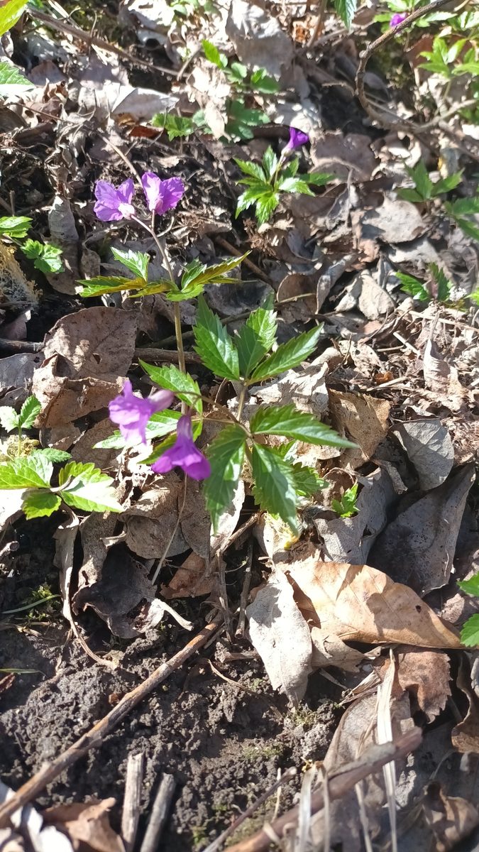
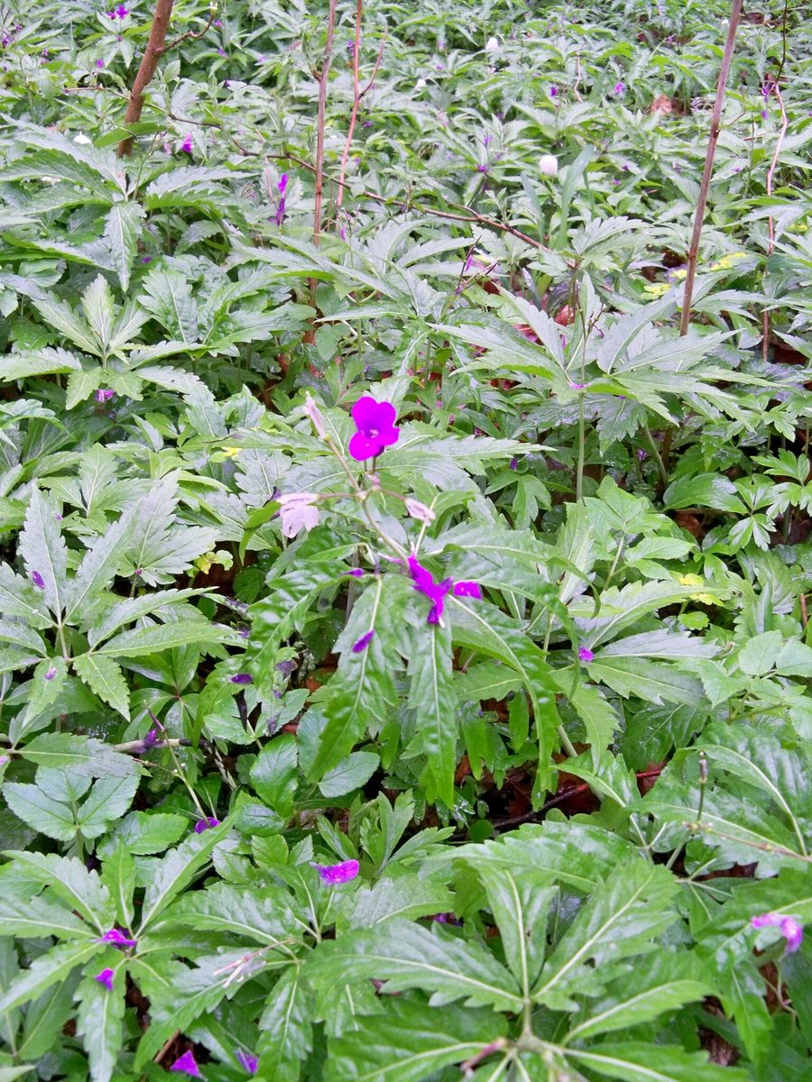
Toothwort (Cardamine glanduligera) is one of the plants that cover the ground in the beech forests of the Carpathians with a solid carpet in spring. It is a low herb, 10–30 cm tall. Three leaves sit in a ring on the stem, each with three elongated serrated leaflets. Above them, a raceme opens with several large, 1.5–2 cm, purple-pink flowers with four petals.
Toothwort blooms in April - May, immediately after the snow melts. It is in a hurry: all development must fit into a few weeks while the beech has not yet unfurled its leaves and there is plenty of light under the forest canopy. By early summer, the above-ground part dies off, and until the next spring, the plant remains underground in the form of a white fleshy rhizome with scales resembling teeth. Hence the name.
This is a Carpathian species: its range covers the Carpathians and adjacent areas. In the Ukrainian Carpathians, Toothwort is common in beech, beech-fir, and hornbeam forests from the foothills to the upper forest limit, and naturalists record it very often.
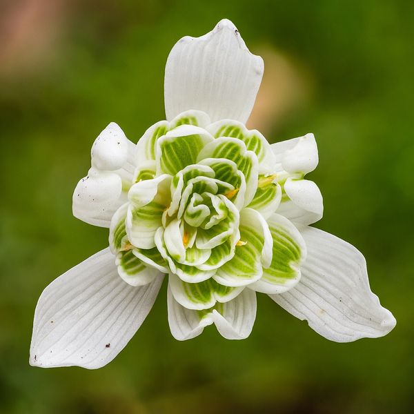
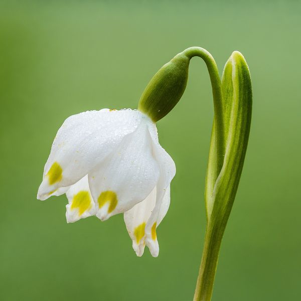
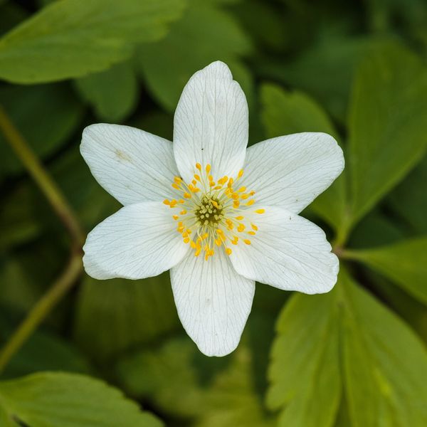
Along with it, snowdrop, white flower, anemone, and lungwort bloom. A little later, bulbous toothwort blooms — taller, with pale lilac flowers and dark bulbs in the leaf axils.
There is no point in picking spring flowers for a bouquet: they wilt within an hour. The species is not listed in the Red Book of Ukraine, but collecting flowers in reserves and national parks is prohibited.
Where in the Carpathians

Orange — where naturalists recorded the species (GBIF, CC0/CC BY); a blank area does not mean it is absent.
- Countries
- Ukraine · Slovakia · Czechia · Poland · Romania · Hungary
- Mountain ranges
- Bieszczady. In other countries: 🇸🇰 Slovak Ore Mountains, 🇨🇿 Moravian-Silesian Beskids, 🇸🇰 Belianske Tatras, 🇸🇰 Volovec Mountains, 🇸🇰 Slovak Paradise, 🇸🇰 Western Tatras, 🇵🇱 Silesian Beskids, 🇵🇱 Pieniny, 🇸🇰 Vihorlat Mountains, 🇸🇰 Low Tatras, 🇸🇰 High Tatras, 🇸🇰 Lesser Fatra, 🇸🇰 Greater Fatra
- Altitude belts
- Foothills (below 600 m) · Beech forests (600–1200 m)
When to see it
| Jan | Feb | Mar | Apr | May | Jun | Jul | Aug | Sep | Oct | Nov | Dec | |
|---|---|---|---|---|---|---|---|---|---|---|---|---|
| Flowering | ||||||||||||
| Fruit |
From naturalists’ observations in the Carpathians (iNaturalist, research grade): the darker the cell, the more often the species is seen that month.
Protection and rules
Not listed in the Red Book of Ukraine. Collecting flowers in protected areas is prohibited.
FAQ
What pink flowers bloom in spring in the beech forests of the Carpathians?
Most often, Toothwort (Cardamine glanduligera): three trifoliate leaves in a ring on the stem and large purple-pink flowers with four petals.
Where does Toothwort disappear in summer?
It is a spring ephemeral: by early summer, the above-ground part dies off, and the plant remains underground in the form of a rhizome.
Comments
Travellers’ experience: reports, tips, questions.
No one has written here yet. Be the first — your experience helps others.
Similar species
Where to meet it
Trails
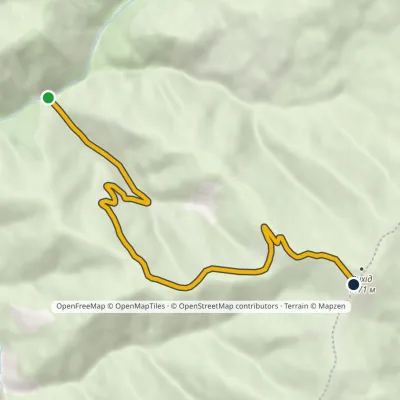 EasyOne-dayMarkedKomen tract Mount VykhidElevation profile813–1 455 m6.3 kmascent 642 m≈ 2.5 h walking
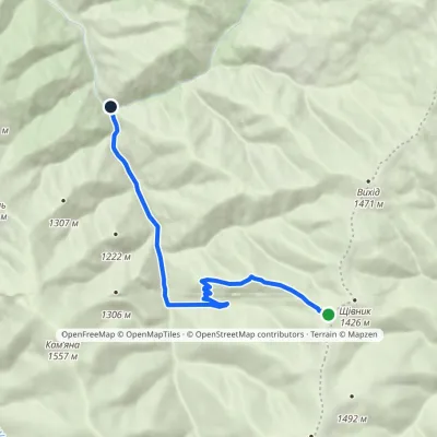 EasyOne-dayMarkedMount Shchivnyk Lemskyi Lis tractElevation profile772–1 407 m8.3 kmascent 15 m≈ 2 h walking
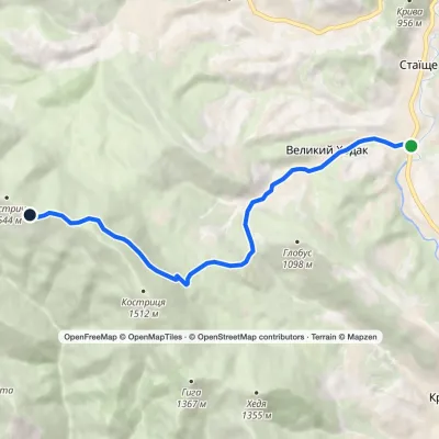 ModerateOne-dayMarkedStaishche Mount KostrychElevation profile697–1 544 m8.1 kmascent 845 m≈ 3.5 h walking
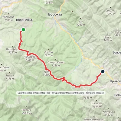 HardOne-dayVoronenko village to Kryvopillia villagevia Mount KukulElevation profile868–1 539 m26.9 kmascent 1 284 m≈ 9 h walking
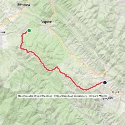 Hard1–2 daysMarkedVoronenko village to Staishche villagevia Mount KukulElevation profile698–1 586 m31.1 kmascent 1 667 m≈ 10.5 h walking
 HardTwo-dayIltsi village to Voronenko villagevia Mount KukulElevation profile637–1 586 m45.8 kmascent 1 957 m
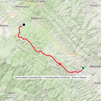 Hard1–2 daysKrasnyk village to Voronenko villagevia Kostrych ridge, Mount KukulElevation profile637–1 586 m39.2 kmascent 1 893 m≈ 13 h walking
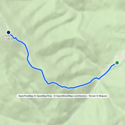 EasyOne-dayMarkedHoverla checkpoint (Zavoiela) Mount KukulElevation profile900–1 539 m4.8 kmascent 639 m≈ 2.5 h walking
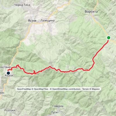 HardTwo-dayVorokhta to Kvasy villagevia Zaroslyak base, Mount Hoverla +1Elevation profile535–2 061 m40.8 kmascent 1 776 m≈ 13 h walking
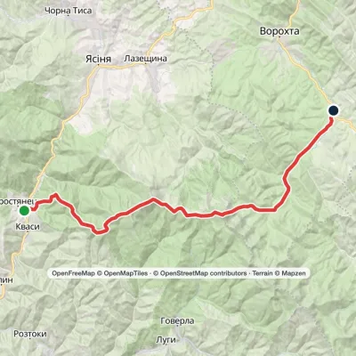 HardTwo-dayKvasy village to Vorokhtavia Mount Petros, Mount Hoverla +1Elevation profile535–2 061 m36.6 kmascent 2 388 m≈ 13 h walking
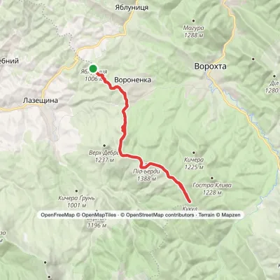 HardOne-dayVoronenko village loopvia Mount KukulElevation profile880–1 539 m29.5 kmascent 959 m≈ 9 h walking
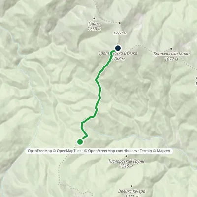 EasyOne-dayMarkedOkole Mount Velyka BratkivskaElevation profile1 195–1 788 m5.2 kmascent 632 m≈ 2.5 h walking
Peaks and meadows
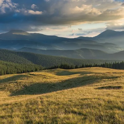 Mountain meadow1 410 mPolonyna LabieskaVorokhtaPolonyna Labieska (also spelled Labeska) lies on the northern slopes of the Kukul ridge, between Mount Kukul (1539 m)...
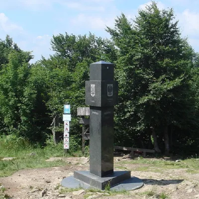 PeakMount KremenetsStuzhytsiaaltitude 1 221 m4 trails to the topKremenets (also known as Kreminets) is a mountain in the Ukrainian Carpathians, one of the highest peaks of the...
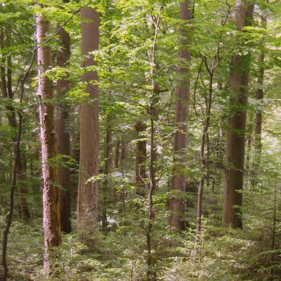 PeakMount KalnytsiaStuzhytsiaaltitude 1 004 mKalnytsia (Slovak: Kalnica) is a 1,004 m mountain on the state border between Ukraine and Slovakia, in the Bukovské...
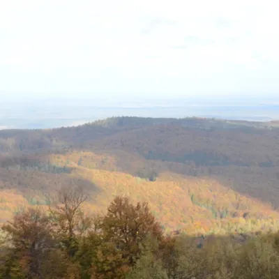 PeakMount BobovyshcheOrivaltitude 817 m4 trails to the topBobovyshche (also called Popivska) is an 817 m mountain in the Upper Dniester Beskids, Lviv Oblast.
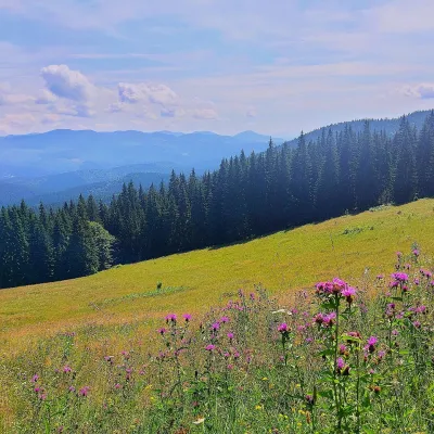 PeakMount Kychera (Vorokhta)Vorokhtaaltitude 1 225 m · Chornohora rangeKychera is a 1,225 m summit north of the Chornohora range, in Ivano-Frankivsk Oblast.
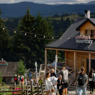 Mountain meadow940 mPolonyna Pertsi Ethno Park, YablunytsiaYablunytsiaPolonyna Pertsi (“Pepper Meadow”) is an ethno park of Hutsul traditions in Yablunytsia, close to the Yablunytsia Pass.
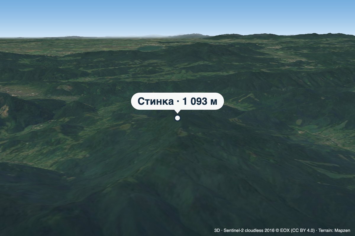 PeakMount StynkaKniahyniaaltitude 1 093 mStynka (Slovak: Stinská) is a 1,093 m mountain on the state border between Ukraine and Slovakia, in the Bukovské...
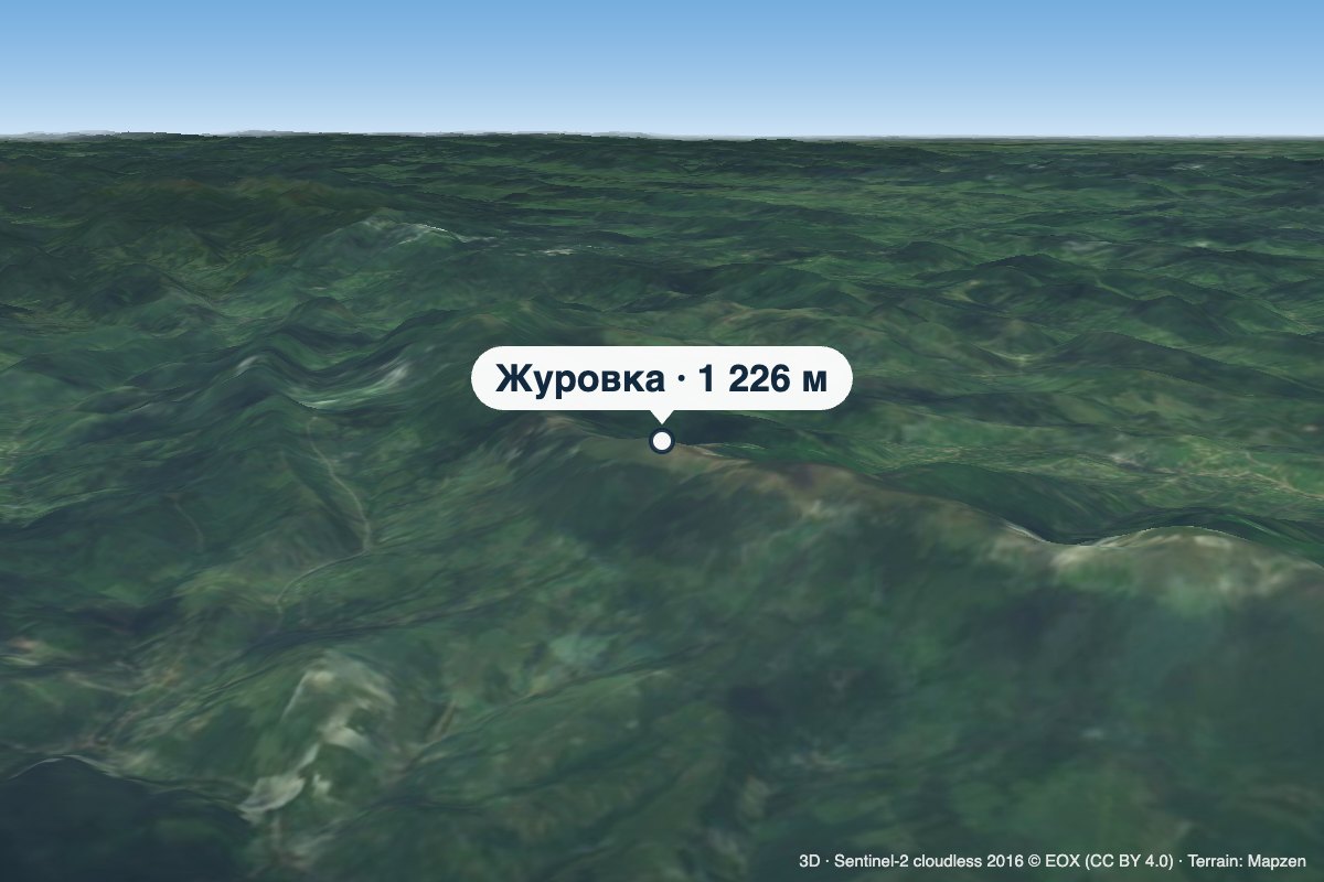 PeakMount ZhurovkaLybokhoraaltitude 1 226 m · Watershed Ridge range1 trail to the topZhurovka (Zhurivka in encyclopedic sources) is a 1,226 m summit on the Vododilnyi (Verkhovyna Watershed) Ridge, on...
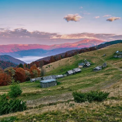 Mountain meadow1 240 mPolonyna Menchul (Kvasy)KvasyMenchul Polonyna above the village of Kvasy is a broad open shoulder on the south-western spur of the Chornohora...
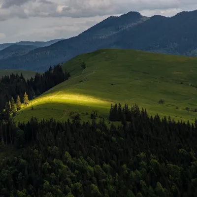 PeakMount Makovytsia (Kryvopillia)Kryvopilliaaltitude 1 161 mMakovytsia is a 1,161 m summit above the village of Kryvopillia (about 2.3 km) in the Verkhovyna district of Ivano...
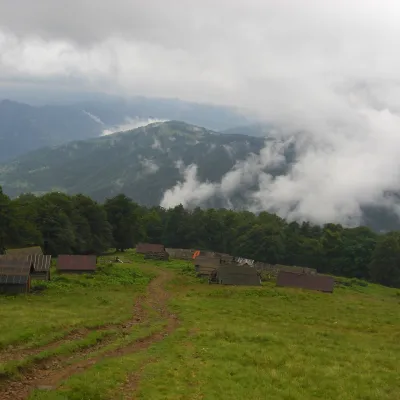 Mountain meadow1 350 mPolonyna BrailkaKvasyPolonyna Brailka (in some sources and on our site also Braivka) is a mountain pasture on the south-eastern slopes of...
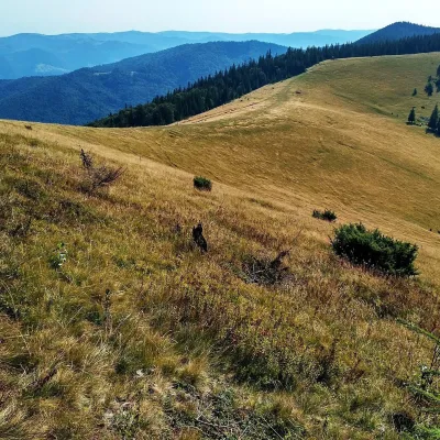 Mountain meadow1 200 mPolonyna Yavirnyk (Yaremche)YaremchePolonyna Yavirnyk is a large pasture on the south-eastern slopes of the Yavirnyk ridge in the Gorgany, right above...
Waters and waterfalls
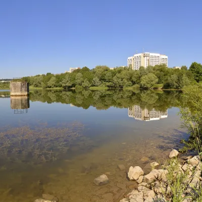 LakeTruskavets ReservoirTruskavetsTruskavets Reservoir, known locally as Lake Solonytsia, lies on the south-eastern edge of Truskavets, next to the...
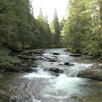 RiverPrutKryvopilliaThe Prut River is a river that connects several countries and is of great natural, historical and cultural importance.
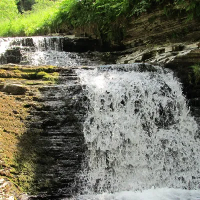 WaterfallSukil WaterfallsSukilNear the village of Sukil in the Bohorodchany urban hromada, the Sukil Waterfalls are truly a paradise for tourists...
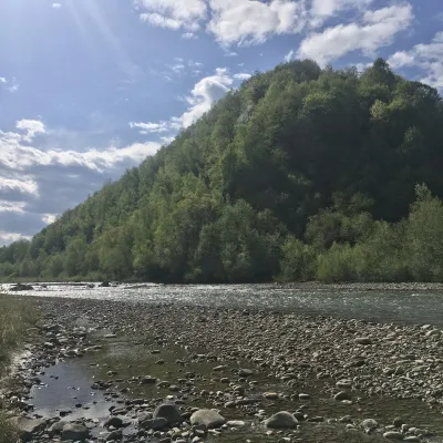 RiverBystrytsia Nadvirnianska RiverNadvirnaThe Bystrytsia Nadvirnianska rises on the northern slope of Mount Chorna Kleva in the Gorgany, at about 1,280 m.
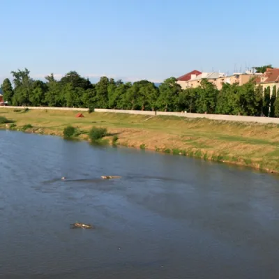 RiverLatorytsiaRoztokaLatorytsia River - Latorytsia and its surroundings are a popular destination for eco-tourism.
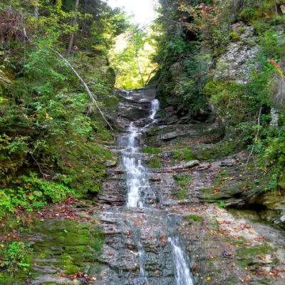 WaterfallBukovinian (Smugar) waterfallsRoztokyA picturesque chain of waterfalls, up to two kilometers long, stretches along the Smuhariv River in Bukovyna, in the...
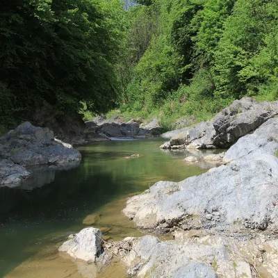 RiverPistynka RiverPistynThe Pistynka is a 56-km mountain tributary of the Prut. It rises on the eastern slopes of Mount Versalem in the...
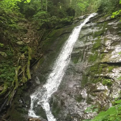 WaterfallNarinetskyi waterfall, MykulychynMykulychynNarinetskyi Waterfall is a waterfall in the Ukrainian Carpathians, on the Noretskyi Stream (a left tributary of the...
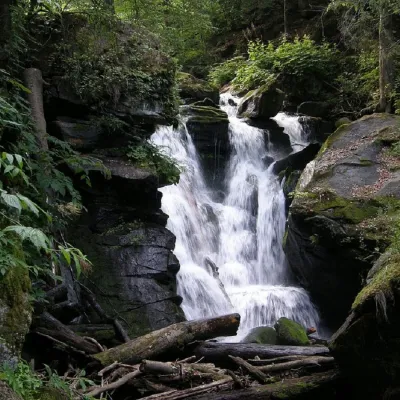 WaterfallVojvodyn waterfallPolianska HutaThe Voyevodyn Waterfall is located on the stream of the same name near the village of Zhdeniyevo in Zakarpattia...
Mountain ranges: Bieszczady. In other countries: 🇸🇰 Slovak Ore Mountains, 🇨🇿 Moravian-Silesian Beskids, 🇸🇰 Belianske Tatras, 🇸🇰 Volovec Mountains, 🇸🇰 Slovak Paradise, 🇸🇰 Western Tatras, 🇵🇱 Silesian Beskids, 🇵🇱 Pieniny, 🇸🇰 Vihorlat Mountains, 🇸🇰 Low Tatras, 🇸🇰 High Tatras, 🇸🇰 Lesser Fatra, 🇸🇰 Greater Fatra
Trails and peaks near which naturalists recorded the species (GBIF, iNaturalist), matched by altitude and habitat. Sightings are not guaranteed.
Sources
- Вікіпедія: Зубниця залозиста
- Wikipedia (pl): Żywiec gruczołowaty
- iNaturalist: Cardamine glanduligera (спостереження в Карпатах)
GBIF · iNaturalist · Wikidata · Distribution data: GBIF.org (CC0 and CC BY records), iNaturalist; names and identifiers: Wikidata (CC0). Text: Karpaty.rocks, checked 11.11.2026.
