Mount Zhurovka
Zhurovka (Zhurivka in encyclopedic sources) is a 1,226 m summit on the Vododilnyi (Verkhovyna Watershed) Ridge, on the border of Lviv and Zakarpattia oblasts. It stands on the crest between Starostyna and Velykyi Verkh, above the headwaters of the streams that run down to Lybokhora. The nearest villages are Lybokhora (about 4 km) and Karpatske (about 5.3 km) on the Lviv side and Perekhresnyi (about 4.5 km) on the Zakarpattia side.
Zhurovka’s neighbours on the crest: to the north-west, about 1.3 km away, Rozsypanets (1,131 m), then Khresty (1,109 m) and Starostyna (1,229 m, about 2.8 km); to the south-east, about 1.2 km away, the higher Behar (1,280 m), and beyond it Lystkovania (1,248 m, about 2 km). Like the whole ridge, the mountain is asymmetric: steep southern slopes and gentle northern ones. The forests on the north-eastern slopes between the Uzhok Pass and Pikui, including those above Lybokhora, are protected by the Lybokhora reserve (2,075 ha).
How to get there
The Transcarpathian Tourist Trail and 11 more of our routes cross Zhurovka; all of them keep to the crest and pass within about 65 m of the top. The shortest is Uzhok – Mount Drohobytskyi Kamin – Mount Starostyna – Mount Velykyi Verkh (18.2 km, about 1,130 m of ascent). Others:
- Bilasovytsia – Mount Pikui – Mount Velykyi Verkh – Mount Starostyna, 22.1 km;
- Uzhok – Husnyi – Drohobytskyi Kamin – Ruska Put pass – Pikui – Bilasovytsia, 30.3 km;
- Sianky – Drohobytskyi Kamin – Ruska Put pass – Pikui – Bilasovytsia, 38 km.
Water, shelter and safety
Water is easy to find here: our map shows springs about 500 m north-west of the summit (at about 1,120 m) and 520 m to the south-east (1,147 m), plus two more 680–710 m to the east and south-east at 1,160–1,200 m. Their condition is unknown, so carry a reserve just in case. A picnic shelter stands above Lybokhora, about 2.1 km to the north-east, at around 830 m. The open crest is windy, and in fog it is easy to miss a turn of the path. The nearest summit with our 7-day forecast is Stii on the Borzhava, about 38 km away: weather on Mount Stii. In an emergency call 112 or 101 — contacts of the nearest units are on our mountain rescue page.
Interesting facts
- The Geographical Encyclopedia of Ukraine lists Zhurivka among the notable summits of the Vododilnyi Ridge, together with Drohobytskyi Kamin, Starostyna, Velykyi Verkh and Pikui.
- The Lybokhora reserve was set up in 1984 to protect wildlife: red deer, lynx, wildcat and wolf live here, and brown bears are occasionally seen.
- The main Carpathian watershed runs along the crest of the ridge.
Comments
Places to stay nearby
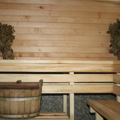 CottageHomestead "Lukacha" Zhdeniyevo9.8 km from Mount ZhurovkaSaunaFireplaceKitchenNearby: Ostra Gora 5.6 kmVojvodyn waterfall 7.9 km7 trails
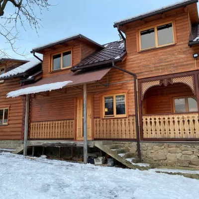 HomesteadVilla Uzh9.9 km from Mount ZhurovkaThe cottage "Villa Uzh" is located amidst picturesque mountains in the village of Uzhok, 5 km from the Volosyanka-Zakarpatska railway station.Nearby: Church of St. Michael 500 m3 trails
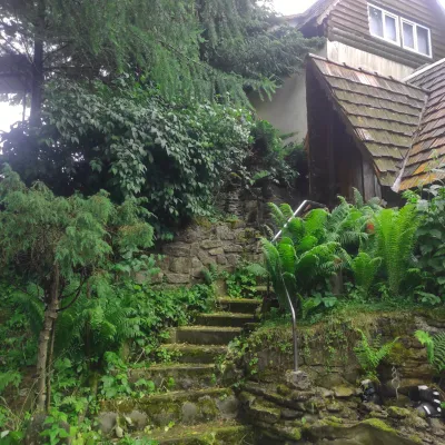 HomesteadHomestead "U Dyadi Vani" Vyshka15 km from Mount ZhurovkaPoolSaunaBBQ
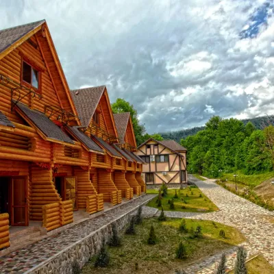 HotelHealth Complex "Uzhansky Kupeli" Uzhok10 km from Mount ZhurovkaHot tubPoolSaunaNearby: Church of St. Michael 1.2 km6 trails
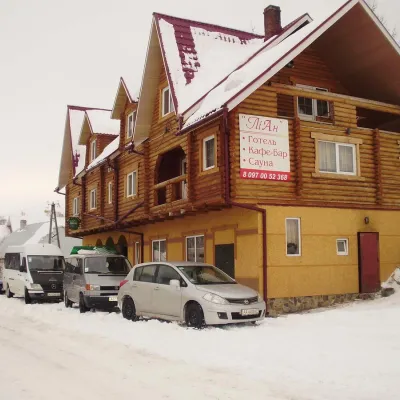 HotelHotel-Restaurant "LiAn" Mykulychyn11 km from Mount ZhurovkaSaunaTransferNearby: Church of St. Michael 1.5 km2 trails
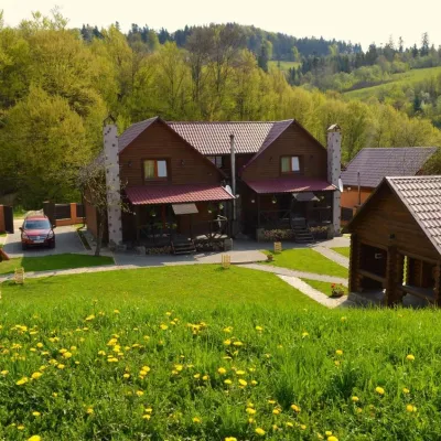 HomesteadPrivate Homestead "Shcherbovets"12 km from Mount ZhurovkaHot tubSaunaBBQNearby: Ostra Gora 7.5 kmVojvodyn waterfall 8.7 km7 trails
Trails nearby
 HardMulti-dayMarkedTranscarpathian Tourist TrailElevation profile198–2 031 m393.2 kmascent 30 283 munder 1 km from Mount Zhurovka
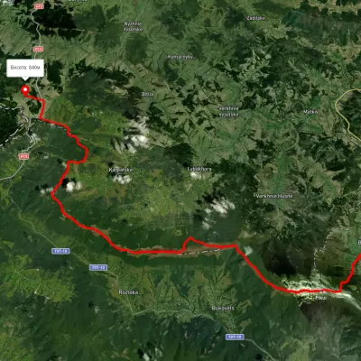 HardMulti-dayUnmarkedSianky village to Bilasovytsia villagevia Mount Drohobytskyi Kamin, the Ruska Put Pass +1Elevation profile556–1 384 m38 kmascent 1 666 m≈ 13 h walkingunder 1 km from Mount Zhurovka
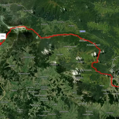 HardMulti-dayUnmarkedSianky village to Bilasovytsia villagevia Mount Starostyna, Mount Velykyi Verkh +1Elevation profile550–1 336 m36.5 kmascent 1 520 m≈ 12 h walkingunder 1 km from Mount Zhurovka
Nearby attractions
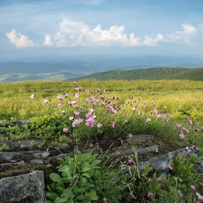 PeakMount Lystkovaniaaltitude 1 248 m · Watershed Ridge range2 km from Mount ZhurovkaLystkovania (also spelled Lystkovannia) is a 1,248 m summit on the Vododilnyi (Verkhovyna Watershed) Ridge, on the border of Lviv and Zakarpattia oblasts.
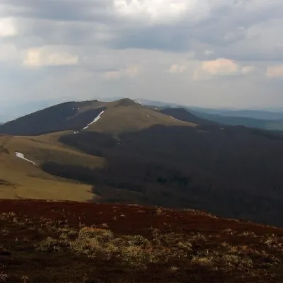 PeakMount Starostynaaltitude 1 229 m · Watershed Ridge range2.8 km from Mount ZhurovkaStarostyna is a 1,229 m mountain on the Vododilnyi (Verkhovyna Watershed) Ridge of the Eastern Beskids.
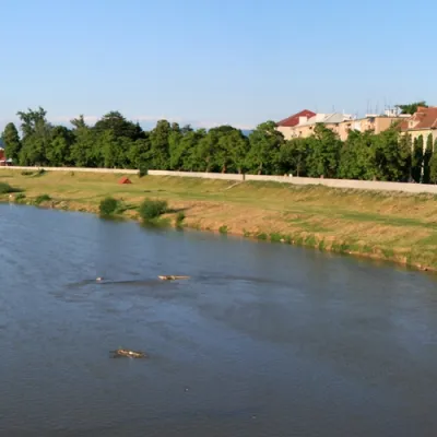 RiverLatorytsia2.8 km from Mount ZhurovkaLatorytsia River - Latorytsia and its surroundings are a popular destination for eco-tourism. The river's flow through mountains and forests creates picturesque...