Cross-border trail «Brown Bear»: Mount Velyka Ravka — Nova Sedlytsia
Trail map
Route, springs and shelters: © OpenStreetMap contributors (ODbL) · elevation: Copernicus DEM © DLR e.V., © Airbus DS · Data & licences
Where to stay nearby

About the trail
Route Cross-border trail «Brown Bear»: Mount Velyka Ravka – Nova Sedlytsia. Has green marking (local route, Bieszczadzki Park Narodowy). Waymarking data: OpenStreetMap (© OpenStreetMap contributors, ODbL).
Officially marked local tourist route. The marking is green, the sign is a diagonal stripe on a white background. Marked and maintained by: Bieszczadzki National Park. Length of the route — 7.9 km. Location: mountain range — Polonynskyi Ridge, Zakarpattia region.
Attention: part of the route has not yet been mapped in OpenStreetMap, so the line on the map has gaps. On the ground, orient yourself by the marking signs.
At a glance
A short route of 7.9 km with 221 m of ascent and 915 m of descent from Mount Velyka Ravka to Nova Sedlytsia. Estimated walking time: about 2.5 h, not counting stops. Difficulty: easy. Waymarking: green.
Route stages
- 0–1 kmDescent of 150 m (down to 1,155 m)
- 1–2 kmGentle ups and downs at 1,150–1,210 m
- 2–5 kmDescent of 510 m (down to 699 m)
- 5–6 kmClimb of 130 m (up to 826 m)
- 6–8 kmDescent of 220 m to Nova Sedlytsia
Steepest kilometre: km 2–3, a descent of 180 m (≈19%), near Mount Kremenets.
Water and overnight stays
A spring near the trail: at km 1.
When to go
Best time: May to October. In winter deep snow is possible, so experience and winter gear are needed.
Getting there
Start: Mount Velyka Ravka. This is a one-way route: the finish is 6 km from the start in a straight line, so plan your way back in advance.
FAQ
- How long does the route take?
- Estimated walking time: about 2.5 h, not counting stops.
- Is there water on the route?
- A spring near the trail: at km 1.
Water and shelter on the route
- Spring below Mount Kremenetskm 1.3 from the start · 80 m off the path · Not verified · 1 134 m
Comments
Trails nearby
All trails ModerateOne-dayMarkedStuzhytsia village Mount KremenetsElevation profile450–1 144 m7.4 kmascent 685 m≈ 3 h walking
 ModerateTwo-dayStuzhytsia village loopvia Mount KremenetsElevation profile423–1 299 m17 kmascent 990 m≈ 6 h walking
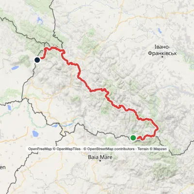 HardMulti-dayMarkedTranscarpathian Tourist TrailElevation profile202–2 054 m393.2 kmascent 16 874 m
Craft nearby
All craft places Eco farmsCsiga-Biga “Merry Stable” Farm, Velykyi BereznyiVelykyi Bereznyi25 km from the trailVesela Stainia Csiga-Biga (“The Merry Stable”) is a small family farm in the town of Velykyi Bereznyi in the Uzh valley.
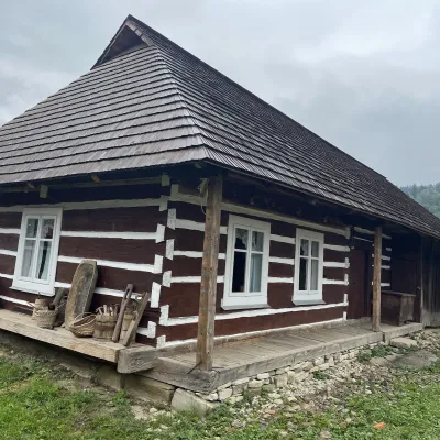 Ethno parks & homesteadsNanashkova Khata Ethno-Homestead, Lopushanka-KhomynaStrilky36 km from the trailNanashkova Khata ethno-homestead is a restored Boyko house built in 1930 in the village of Lopushanka-Khomyna, Sambir district, in a quiet mountain valley of the Lviv...
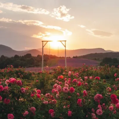 Eco farmsLavandova Hora lavender farm, PerechynPerechyn40 km from the trailLavandova Hora (“Lavender Hill”) is a family farm on the edge of Perechyn that in just a few years has turned an ordinary hill above the town into one of the most...
 Craft producersKarpaty Nasolodzhuisia juices & jams, PerechynPerechyn42 km from the trail“Karpaty Nasolodzhuisia” (Carpathians, Enjoy) is a brand of the company Dzherela Karpat from Perechyn, a small town in the Uzh valley.
 Honey & meaderiesTurianskyi Med Apiary, Turia RemetaTuri Remety43 km from the trailTurianskyi Med («Turia Honey») is the family apiary of Myroslava and Viktor Minkovych in Turia Remeta, a picturesque village in the Turia river valley near Perechyn.
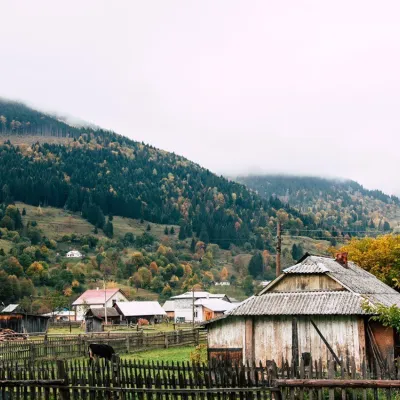 Cheese dairies & pasturesBilasovytsi Cheese Dairy, BilasovytsiaBilasovytsia46 km from the trailBilasovytsi Cheese Dairy is a small family dairy in the Transcarpathian village of Bilasovytsia, set at about 600 metres above sea level at the foot of Mount Pikui.
