White butterbur
About
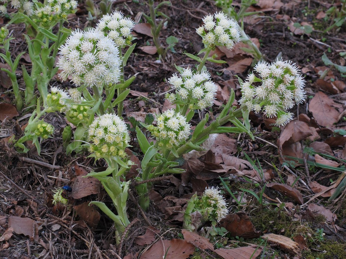
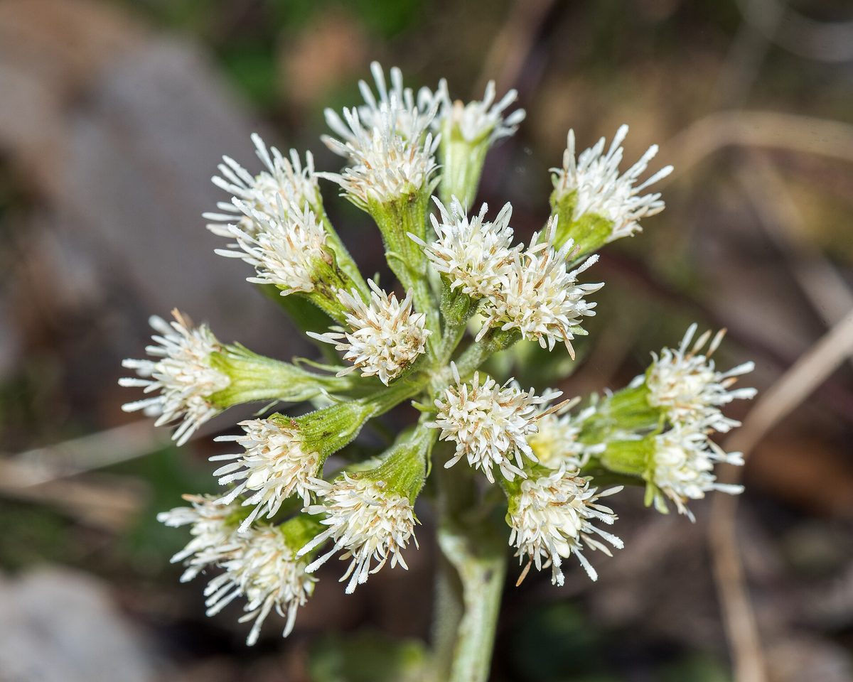
White butterbur is seen twice a year, and each time it looks like a different plant. In spring, from March to May, thick light green flower stalks 10–30 cm tall emerge from the ground, covered with scaly leaves. At the top is a dense egg-shaped inflorescence of yellowish-white flower heads. There are no leaves at this time.
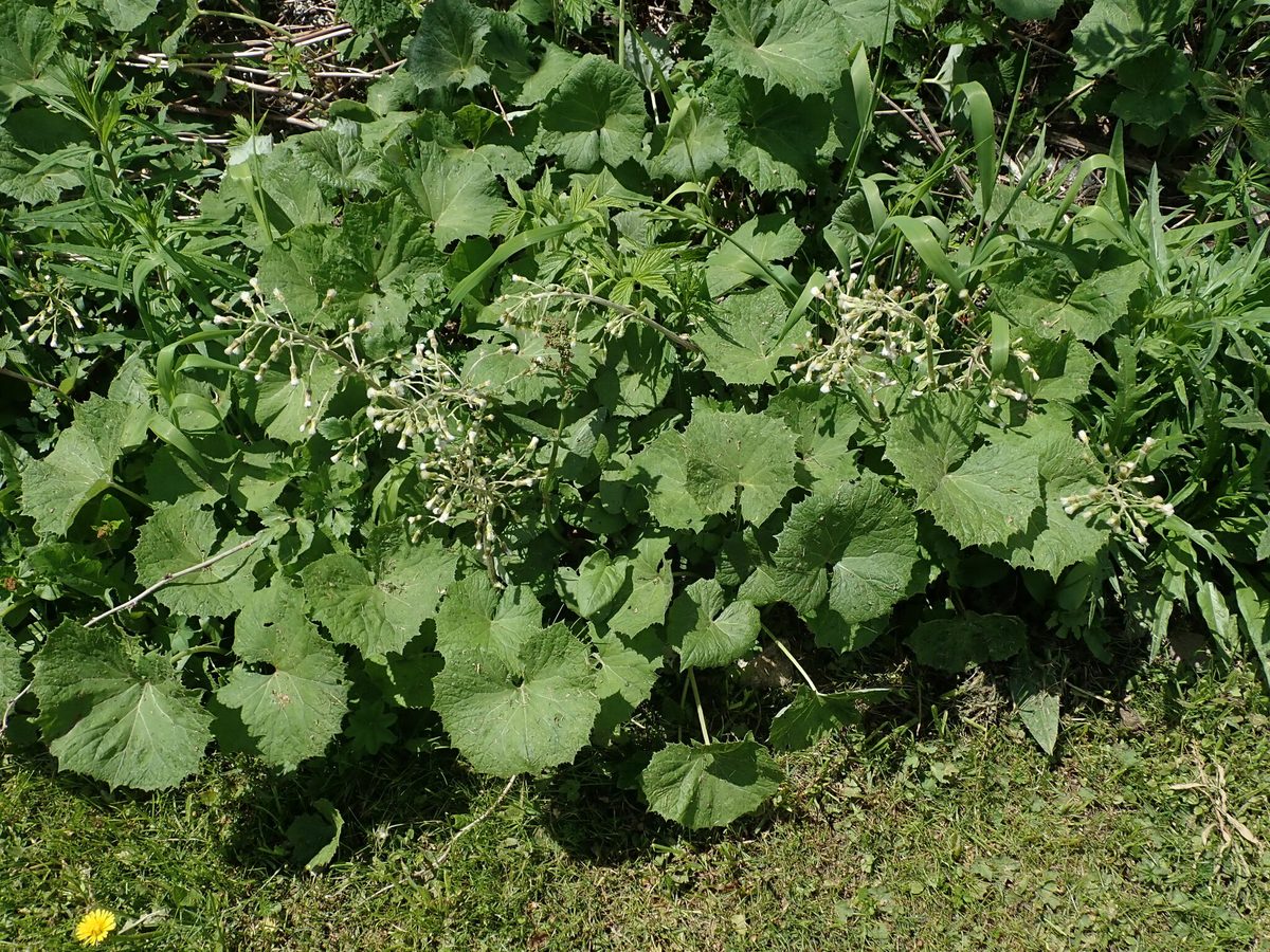
When flowering ends, the basal leaves unfold. They are round-heart-shaped, 20–40 cm wide, with uneven sharp teeth along the edge, on long petioles. The underside of the leaf is covered with white wool, while the top is bare and green. By mid-summer, white butterbur forms dense thickets along streams, where the path is barely visible.
In the Carpathians, it is a common plant of moist beech, fir, and spruce forests, stream banks, springs, ravines, and landslides. It grows from the foothills to the upper forest limit and higher. In the Ukrainian Carpathians, naturalists record it very often.
In the valleys, along the banks of larger rivers, hybrid butterbur grows. Its flowers are dirty pink, and the leaves are even larger — up to 60 cm and wider, with a grayish-green underside.
Both species contain alkaloids harmful to the liver, so they should not be consumed as greens or tea. However, covering the head with a leaf from rain or sun is an ancient tourist tradition that does not harm the plant if whole rosettes are not torn off.
Where in the Carpathians

Orange — where naturalists recorded the species (GBIF, CC0/CC BY); a blank area does not mean it is absent.
- Countries
- Ukraine · Slovakia · Czechia · Poland · Romania · Hungary
- Mountain ranges
- Bieszczady. In other countries: 🇨🇿 Moravian-Silesian Beskids, 🇸🇰 Greater Fatra, 🇸🇰 Lesser Fatra, 🇸🇰 Low Tatras, 🇸🇰 Javorníky, 🇸🇰 Belianske Tatras, 🇸🇰 Slovak Ore Mountains, 🇸🇰 Western Tatras, 🇸🇰 Strážov Mountains, 🇸🇰 High Tatras, 🇸🇰 Kysuce Beskids, 🇵🇱 Żywiec Beskids, 🇸🇰 Volovec Mountains
- Altitude belts
- Foothills (below 600 m) · Beech forests (600–1200 m) · Conifer forests (1200–1600 m)
When to see it
| Jan | Feb | Mar | Apr | May | Jun | Jul | Aug | Sep | Oct | Nov | Dec | |
|---|---|---|---|---|---|---|---|---|---|---|---|---|
| Flowering | ||||||||||||
| Fruit |
From naturalists’ observations in the Carpathians (iNaturalist, research grade): the darker the cell, the more often the species is seen that month.
Safety
Do not consume as greens or tea: the plant contains alkaloids harmful to the liver.
Protection and rules
Not listed in the Red Book of Ukraine.
FAQ
What is the large round leaf growing along the streams in the Carpathians?
Most often it is white butterbur, and in the valleys of larger rivers — hybrid butterbur. Both bloom early in spring, before the leaves appear.
How to distinguish white butterbur from hybrid butterbur?
White butterbur has yellowish-white flowers, and the leaf underside is white-woolly. Hybrid butterbur has dirty pink flowers, larger leaves, and a grayish-green underside.
Comments
Travellers’ experience: reports, tips, questions.
No one has written here yet. Be the first — your experience helps others.
Similar species
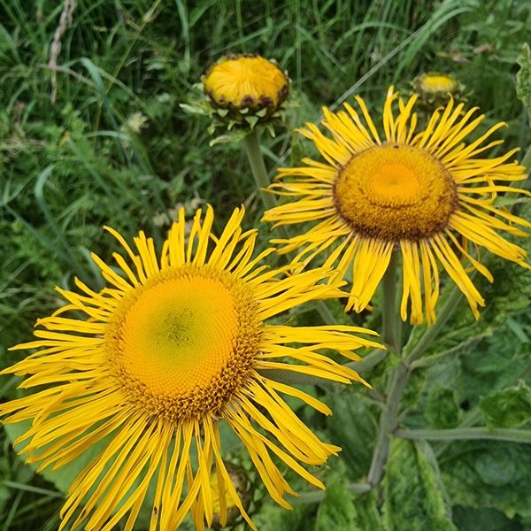
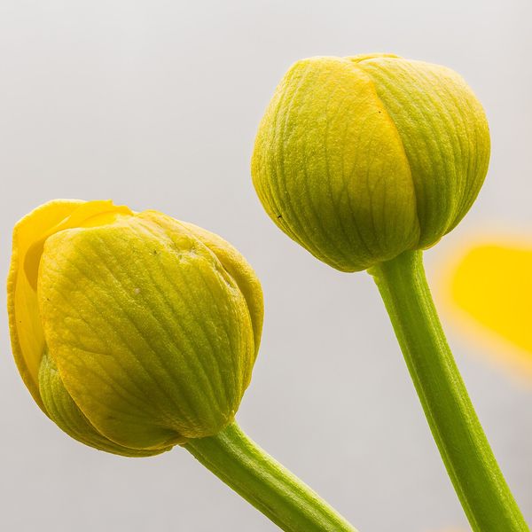
Where to meet it
Trails
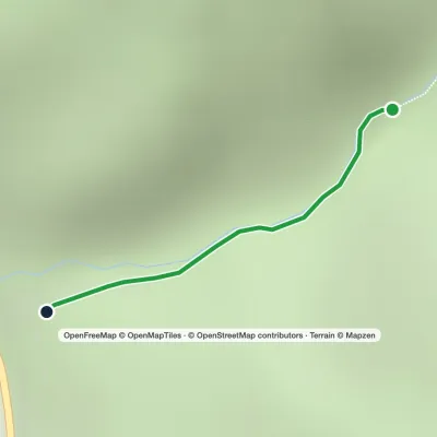 EasyOne-dayMarkedTo Sokolyne BerdoElevation profile331–674 m2.6 kmascent 344 m≈ 1 h walking
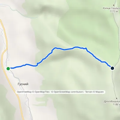 EasyOne-dayMarkedUzhok Drohobytskyi StoneElevation profile686–1 154 m2.3 kmascent 468 m≈ 1.5 h walking
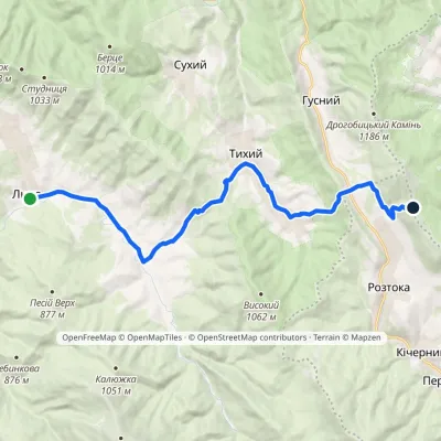 ModerateOne-dayMarkedLiuta village Pikui ridgevia Tykhyi villageElevation profile465–1 109 m18.1 kmascent 923 m≈ 6 h walking
Peaks and meadows
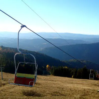 PeakMount Vysokyi Verkh, VolosyankaVolosiankaaltitude 1 242 m · Skole Beskids range2 trails to the topVysokyi Verkh is a mountain in the Ukrainian Carpathians, in the Skole Beskydy massif.
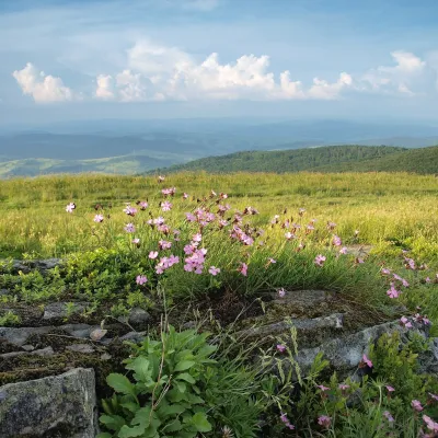 PeakMount LystkovaniaPerekhresnyialtitude 1 248 m · Watershed Ridge range1 trail to the topLystkovania (also spelled Lystkovannia) is a 1,248 m summit on the Vododilnyi (Verkhovyna Watershed) Ridge, on the...
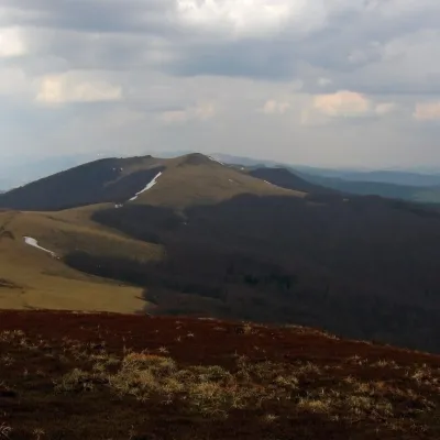 PeakMount StarostynaLybokhoraaltitude 1 229 m · Watershed Ridge range1 trail to the topStarostyna is a 1,229 m mountain on the Vododilnyi (Verkhovyna Watershed) Ridge of the Eastern Beskids.
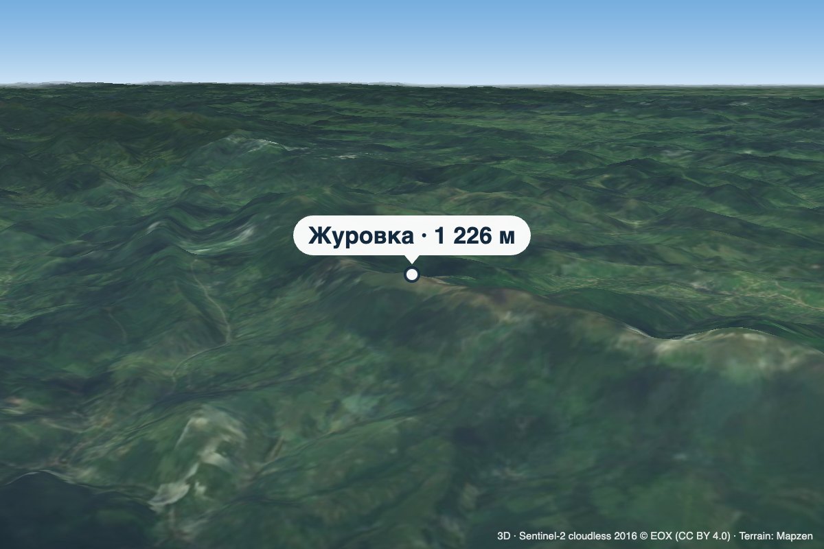 PeakMount ZhurovkaLybokhoraaltitude 1 226 m · Watershed Ridge range1 trail to the topZhurovka (Zhurivka in encyclopedic sources) is a 1,226 m summit on the Vododilnyi (Verkhovyna Watershed) Ridge, on...
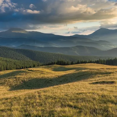 Mountain meadow1 410 mPolonyna LabieskaVorokhtaPolonyna Labieska (also spelled Labeska) lies on the northern slopes of the Kukul ridge, between Mount Kukul (1539 m)...
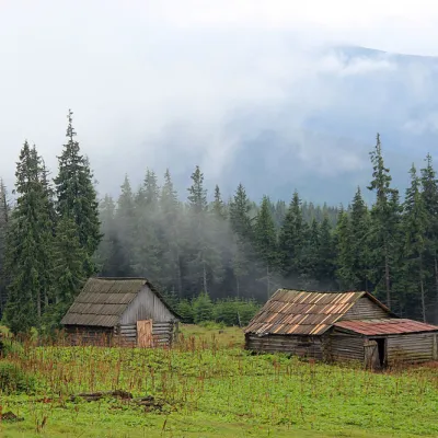 Mountain meadow1 440 mPolonyna Kukul (Kukul), VoronenkoVoronenkoPolonyna Kukul is a mountain meadow in the Ukrainian Carpathians, within the Kukul ridge (Kukul mountain - 1539 m),...
Mountain ranges: Bieszczady. In other countries: 🇨🇿 Moravian-Silesian Beskids, 🇸🇰 Greater Fatra, 🇸🇰 Lesser Fatra, 🇸🇰 Low Tatras, 🇸🇰 Javorníky, 🇸🇰 Belianske Tatras, 🇸🇰 Slovak Ore Mountains, 🇸🇰 Western Tatras, 🇸🇰 Strážov Mountains, 🇸🇰 High Tatras, 🇸🇰 Kysuce Beskids, 🇵🇱 Żywiec Beskids, 🇸🇰 Volovec Mountains
Trails and peaks near which naturalists recorded the species (GBIF, iNaturalist), matched by altitude and habitat. Sightings are not guaranteed.
Sources
- Вікіпедія: Кремена біла
- Wikipedia (en): Petasites albus
- iNaturalist: Petasites albus (спостереження в Карпатах)
GBIF · iNaturalist · Wikidata · Distribution data: GBIF.org (CC0 and CC BY records), iNaturalist; names and identifiers: Wikidata (CC0). Text: Karpaty.rocks, checked 11.11.2026.
