Heart-leaved oxeye
About
Telekia speciosa, or beautiful telekia, is one of the most remarkable plants of the Carpathian valleys. It grows in moist soils along rivers, streams, and lakes, in the semi-shade of forest edges, as well as in disturbed areas. Its natural range covers the mountains of southeastern and central Europe, including Romania, Slovakia, Hungary, the Balkans, and Ukraine. In Ukraine, the species is widespread in the Carpathians, mainly in the coniferous forest belt.
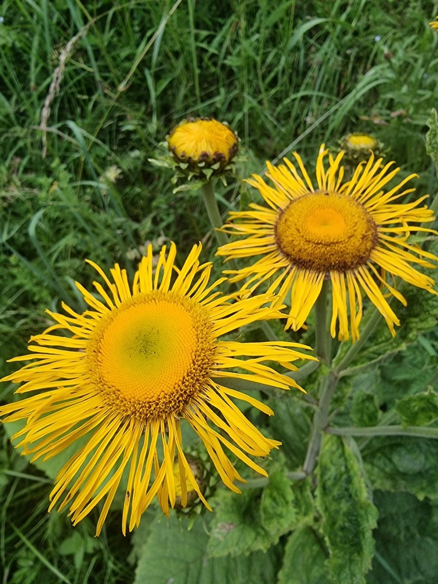
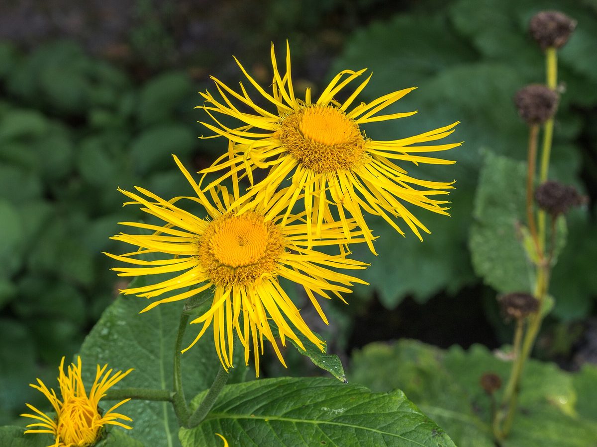
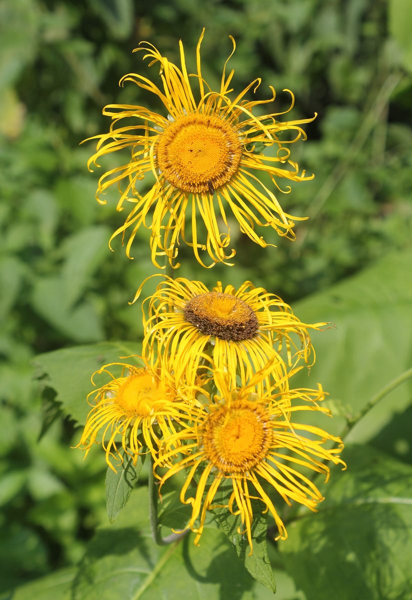
This powerful perennial herb can grow up to 2 m tall. The leaves are large, 10–40 cm long, triangular-heart-shaped, doubly serrated, on long petioles, and hairy underneath. The upper stem leaves are smaller and sessile. Large flower heads, 6–9 cm in diameter, open at the tips of the branches: thin yellow ligulate flowers, seemingly disheveled, surround a dark yellow center. It blooms from June to August, and in some places until early autumn.
Due to its striking appearance, telekia has long been cultivated in gardens and parks as an ornamental plant. It has been introduced to many countries outside its natural range—from Scandinavia and Great Britain to the USA and Japan. The flowers of telekia are visited by numerous pollinating insects: bees, butterflies, and hoverflies.
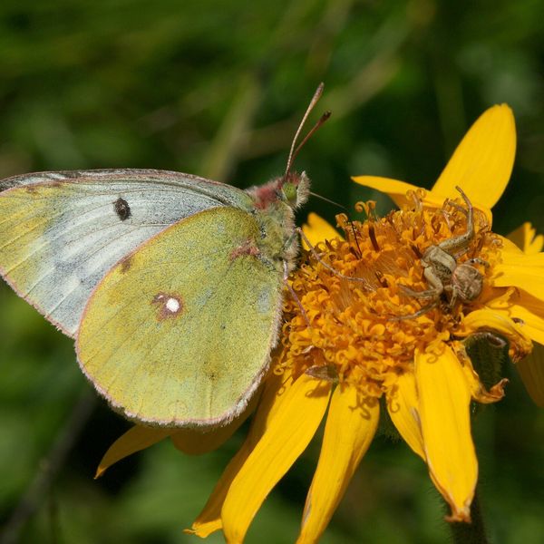
Near the Carpathian streams, telekia is sometimes confused with Inula helenium, another large yellow aster plant. However, in Inula, the leaves are elongated-elliptical, hairy and grayish underneath, and the flower ligules are long and narrow, more even. Telekia speciosa is not protected, but it looks best on the banks of mountain rivers, so leave it to bloom there.
Where in the Carpathians

The map shows where naturalists recorded the species (GBIF, CC0 and CC BY records), not every place it lives. The Ukrainian Carpathians are less studied, so a blank area does not mean the species is absent.
- Countries
- Slovakia · Romania · Ukraine · Poland · Czechia
- Mountain ranges
- Greater Fatra, Strážov Mountains, Low Beskids, Skole Beskids, Bieszczady, High Tatras, Maramureș Mountains, Vihorlat Mountains, Bucegi Mountains, Slovak Ore Mountains
- Altitude belts
- Foothills (below 600 m) · Beech forests (600–1200 m)
When to see it
| Jan | Feb | Mar | Apr | May | Jun | Jul | Aug | Sep | Oct | Nov | Dec | |
|---|---|---|---|---|---|---|---|---|---|---|---|---|
| Flowering | ||||||||||||
| Fruit |
From naturalists’ observations in the Carpathians (iNaturalist, research grade): the darker the cell, the more often the species is seen that month.
Look-alikes — how to tell them apart
The leaves are elongated-elliptical, hairy and grayish underneath, not triangular-heart-shaped; the flower ligules are narrow and long.
Protection and rules
Not protected.
FAQ
What are those large yellow flowers growing along the Carpathian rivers?
Most likely, they are Telekia speciosa: a plant up to 2 m tall with huge heart-shaped leaves and yellow flower heads 6–9 cm.
When does telekia bloom?
From June to August, and in some places until early autumn.
Similar species
Where to meet it
Trails
 EasyOne-dayMarkedKorchyn village Hurkalo WaterfallElevation profile399–519 m6.2 kmascent 138 m≈ 2 h walking
 HardMulti-dayKorchyn village to Krushelnytsia villagevia Hurkalo Waterfall, Mount ParashkaElevation profile396–1 268 m39.2 kmascent 1 094 m≈ 12 h walking
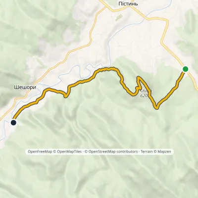 EasyOne-dayMarkedSt Nicholas Estate Malyi Huk Waterfall (Sheshory)Elevation profile407–620 m7.2 kmascent 241 m≈ 2.5 h walking
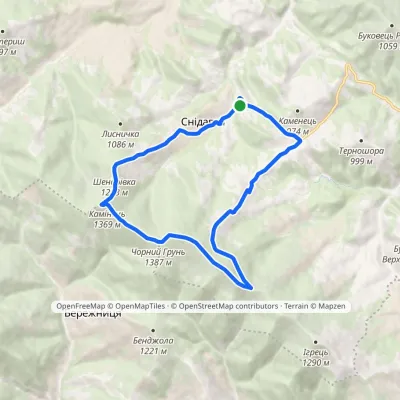 ModerateOne-dayMarkedSnidavka village loopvia Chornyi HrunElevation profile767–1 387 m13.6 kmascent 728 m≈ 5 h walking
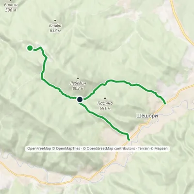 EasyOne-dayMarkedNature trail «To Lake Lebedyn»Elevation profile414–706 m9.2 kmascent 265 m≈ 3 h walking
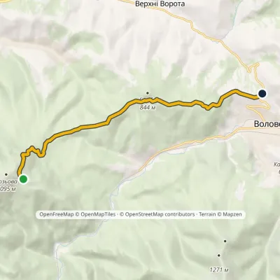 EasyOne-dayMarkedMount Bozova MenchulElevation profile611–1 011 m9 kmascent 207 m≈ 2.5 h walking
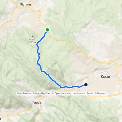 EasyOne-dayMarkedSt Nicholas Estate Huk Kosivskyi WaterfallElevation profile368–637 m6.9 kmascent 209 m≈ 2 h walking
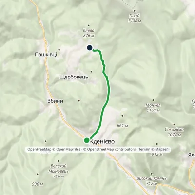 EasyOne-dayMarkedZhdeniievo Mount KlevaElevation profile411–714 m5.4 kmascent 303 m≈ 2 h walking
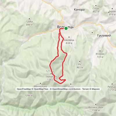 ModerateOne-dayVolovets loopvia Mount TsytskaElevation profile483–1 300 m14.8 kmascent 919 m≈ 5.5 h walking
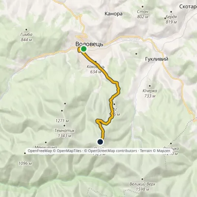 ModerateOne-dayMarkedVolovets Mount PlaiElevation profile487–1 331 m8.4 kmascent 849 m≈ 4 h walking
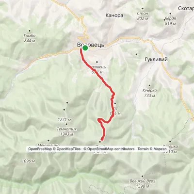 ModerateTwo-dayVolovets loopvia Mount PlaiElevation profile484–1 332 m16.4 kmascent 845 m≈ 6 h walking
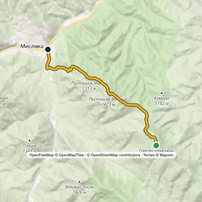 ModerateOne-dayMarkedTo Mount Horhan IlemskyiElevation profile654–1 587 m11.6 kmascent 271 m≈ 3.5 h walking
Peaks and meadows
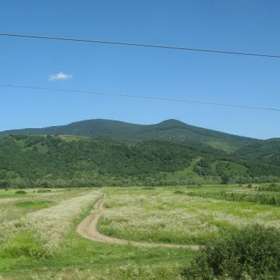 PeakMount DunavkaSyniakaltitude 1 018 m · Volcanic Carpathians rangeDunavka is the highest summit of the Syniak mountain massif, 1,018 m high.
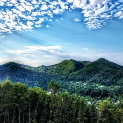 PeakMount Sopka (Stizhky, Zinyakov top).Kosivaltitude 620 m2 trails to the topStizhki (620 meters) offers a panoramic view of the city of Kosiv. The mountain is covered with forests - beech,...
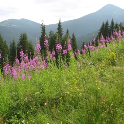 Mountain meadow1 290 mPolonyna MaryshevskaBystretsMaryshevska Polonyna is a small mountain pasture on a north-eastern spur of Chornohora, in the group of Velyka (1,567...
Waters and waterfalls
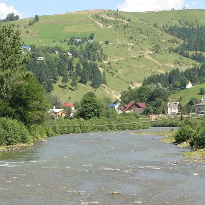 RiverWhite CheremoshUsterikyThe White Cheremosh is one of the most beautiful and important rivers in the Ukrainian Carpathians.
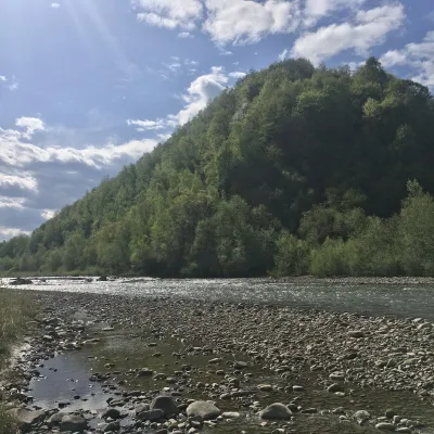 RiverBystrytsia Nadvirnianska RiverNadvirnaThe Bystrytsia Nadvirnianska rises on the northern slope of Mount Chorna Kleva in the Gorgany, at about 1,280 m.
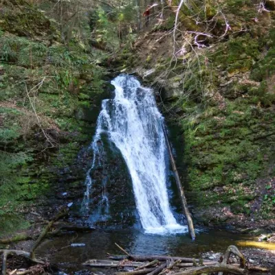 WaterfallSopit waterfallSopitSopit (Sopitsky ) is a waterfall in the Ukrainian Carpathians on the territory of the Skole Beskydy National Nature...
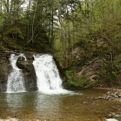 WaterfallGurkalo waterfallKorchynGurkal, located on the Velyka Richka River, has a very eloquent name! You can't argue with it, especially when the...
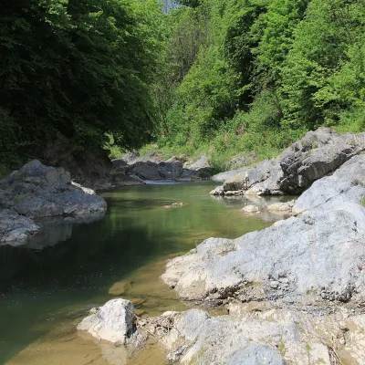 RiverPistynka RiverPistynThe Pistynka is a 56-km mountain tributary of the Prut. It rises on the eastern slopes of Mount Versalem in the...
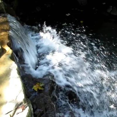 WaterfallBagrovetsky waterfallYaremcheBagrovetsky Waterfall is one of the most famous waterfalls in the Yaremche region, located in the city of Yaremche.
Mountain ranges: Skole Beskids, Bieszczady, Maramureș Mountains, Vihorlat-Gutin Volcanic Ridge. In other countries: 🇸🇰 Greater Fatra, 🇸🇰 Strážov Mountains, 🇵🇱 Low Beskids, 🇸🇰 High Tatras, 🇸🇰 Vihorlat Mountains, 🇷🇴 Bucegi Mountains, 🇸🇰 Slovak Ore Mountains, 🇷🇴 Bihor-Vlădeasa Mountains, 🇷🇴 Făgăraș Mountains, 🇨🇿 Moravian-Silesian Beskids
Trails and peaks near which naturalists recorded the species (GBIF, iNaturalist), matched by altitude and habitat. Sightings are not guaranteed.
Sources
- Вікіпедія: Телекія гарна
- Wikipedia (en): Telekia speciosa
- Wikipedia (en): Inula helenium
- iNaturalist: Telekia speciosa (спостереження в Карпатах)
GBIF · iNaturalist · Wikidata · Distribution data: GBIF.org (CC0 and CC BY records), iNaturalist; names and identifiers: Wikidata (CC0). Text: Karpaty.rocks, checked 09.11.2026.
