Perennial honesty
About
Perennial honesty is a plant of shady, moist forests. In Ukraine, it mainly grows in the Carpathians and Transcarpathia, as well as in Roztochia, Opillia, Pokuttia, Ternopil region, and the west of Podillia. It prefers damp shady forests, often on calcareous soil.
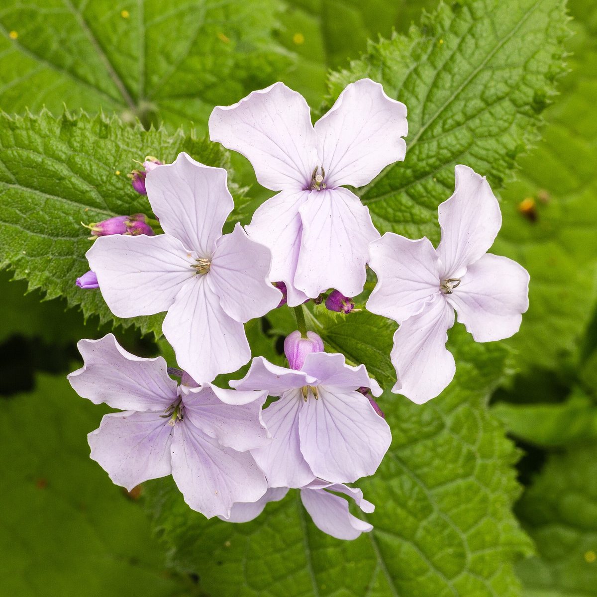
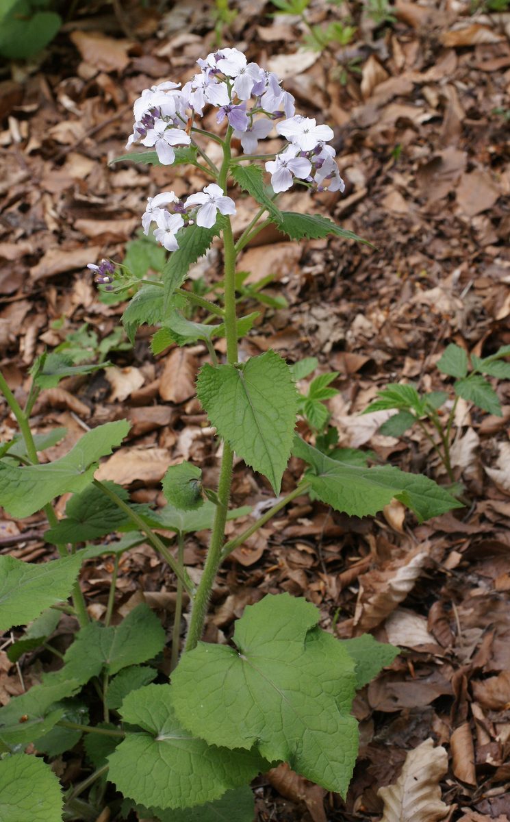
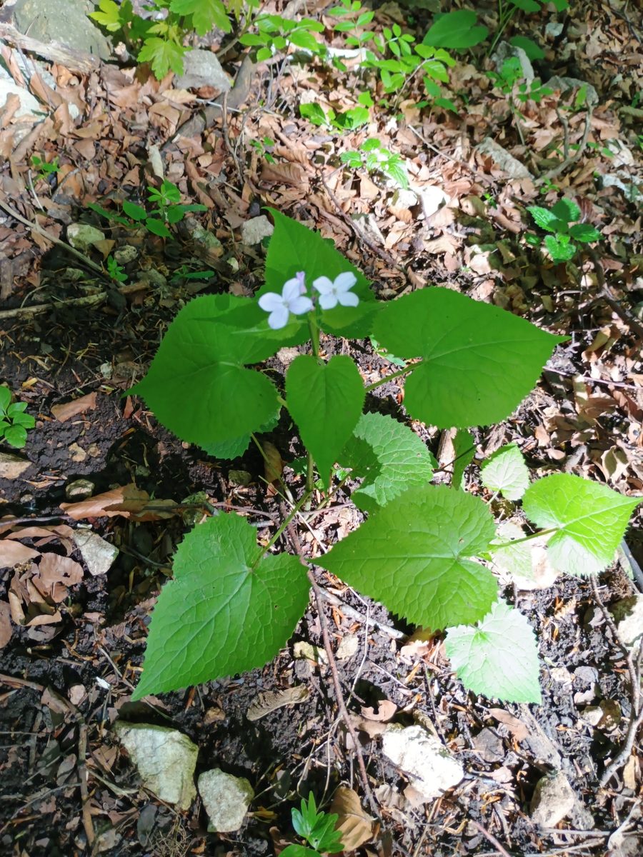
This perennial herb grows 30–150 cm tall with a creeping rhizome. The leaves are large, dark green, heart-shaped, with uneven sharp teeth, and the lower ones have long petioles. It blooms from April to July: at the tops of the stems, clusters of light lilac four-petaled flowers with a strong aroma reminiscent of lilac open up. The fragrance attracts bees and butterflies. The fruits ripen from August to October: these are flat elliptical pods with a translucent silvery cross-section that glow in the forest twilight like small moons. This is how the plant got its name. Perennial honesty is a good honey plant, and as an ornamental plant, it is also grown in gardens, from where the garden material, not the wild one, is used in bouquets.
The species name rediviva means 'reviving': each year, perennial honesty regrows from the rhizome. However, it is not common in nature, so the species is listed in the Red Data Book of Ukraine with the status of 'not evaluated'. It is protected in the reserves of Gorgany and the Carpathian Biosphere, in the national parks of Synevyr, Skole Beskids, Uzhansky, Vyzhnytsia, Carpathian, and others.
It is prohibited to pick perennial honesty, collect its dry fruits for bouquets, and dig up the plants. In autumn, the silvery 'moons' are especially beautiful in photos—take pictures of them without breaking the stems.
Where in the Carpathians

The map shows where naturalists recorded the species (GBIF, CC0 and CC BY records), not every place it lives. The Ukrainian Carpathians are less studied, so a blank area does not mean the species is absent.
- Countries
- Slovakia · Czechia · Ukraine · Poland · Romania · Hungary
- Mountain ranges
- Slovak Ore Mountains, Moravian-Silesian Beskids, Lesser Fatra, Greater Fatra, Strážov Mountains, Low Tatras, Bieszczady, Vihorlat Mountains, Belianske Tatras, Skole Beskids
- Altitude belts
- Foothills (below 600 m) · Beech forests (600–1200 m)
When to see it
| Jan | Feb | Mar | Apr | May | Jun | Jul | Aug | Sep | Oct | Nov | Dec | |
|---|---|---|---|---|---|---|---|---|---|---|---|---|
| Flowering | ||||||||||||
| Fruit |
From naturalists’ observations in the Carpathians (iNaturalist, research grade): the darker the cell, the more often the species is seen that month.
Look-alikes — how to tell them apart
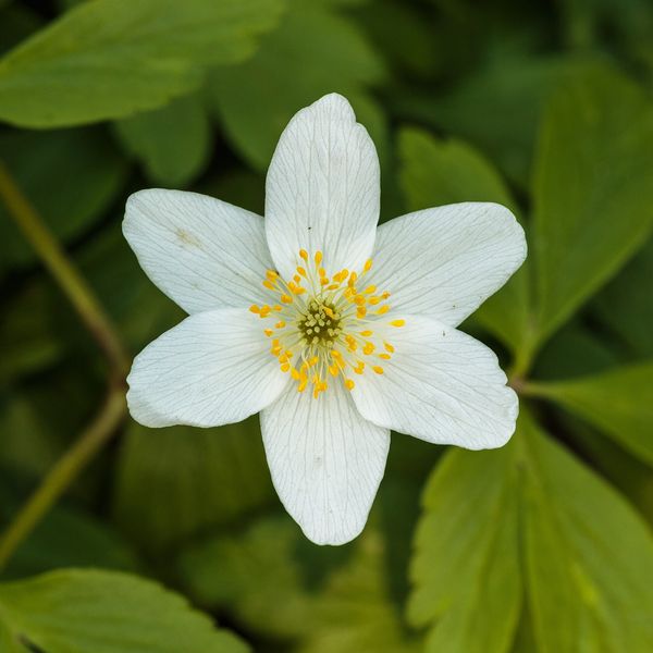
A garden biennial; the pods are almost round, not elongated elliptical.
Protection and rules
Listed in the Red Data Book of Ukraine (not evaluated). It is prohibited to pick, collect fruits for bouquets, and dig up.
Admire, don’t pick: plants listed in the Red Data Book of Ukraine — and any plants in nature reserves and strictly protected zones of national parks — must not be collected.
FAQ
Why is the plant called perennial honesty?
Because of the fruits: flat pods with a translucent silvery cross-section glow in the forest like small moons.
Can perennial honesty be collected for dry bouquets?
No. Perennial honesty is listed in the Red Data Book of Ukraine, so it is prohibited to pick it and collect fruits.
Similar species
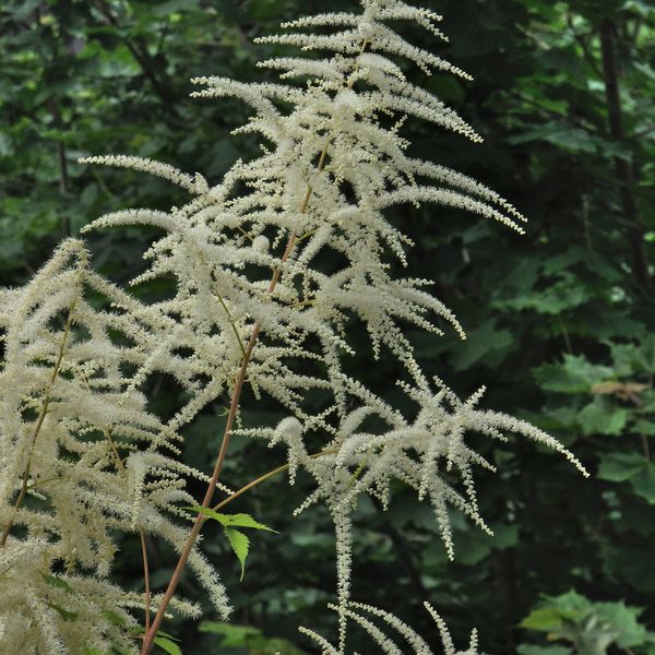
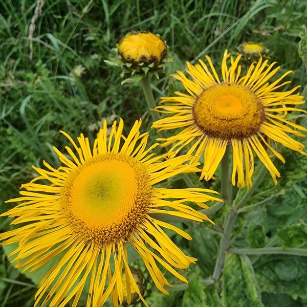
Where to meet it
Trails
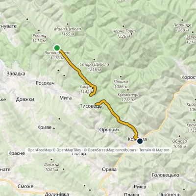 ModerateOne-dayMarkedNo. 505 Kozova village Rosokhatski polonynyvia TysovetsElevation profile608–1 177 m14.9 kmascent 329 m≈ 4.5 h walking
 ModerateOne-dayKostryno village Mount KrasiiaElevation profile293–1 016 m9.2 kmascent 765 m≈ 4 h walking
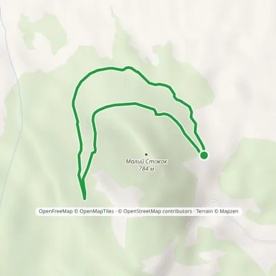 EasyOne-dayMarkedTrail «In the Footsteps of Count Wassilko»Elevation profile557–672 m3.3 kmascent 112 m≈ 1 h walking
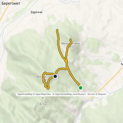 EasyOne-dayMarkedNature trail «To the Guardians of Nedeia»Elevation profile576–841 m5.4 kmascent 436 m≈ 2 h walking
 HardMulti-dayKostryno village loopvia Mount Yavirnyk, Mount Krasiia +1Elevation profile278–1 036 m26.8 kmascent 1 384 m≈ 9.5 h walking
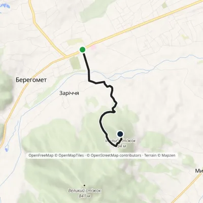 EasyOne-dayMarkedNature trail «Stizhok»Elevation profile464–793 m3.5 kmascent 329 m≈ 1.5 h walking
 ModerateTwo-daySopit village loopvia the Sopit polonynasElevation profile440–1 178 m19.7 kmascent 825 m≈ 6.5 h walking
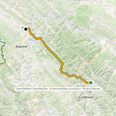 HardMulti-dayMarkedNo. 505 Tukhlia TurkaElevation profile530–1 177 m56.9 kmascent 1 764 m
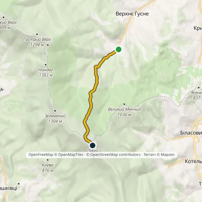 EasyOne-dayMarkedNo. 5020 Verkhnie Husne Mount PikuiElevation profile749–1 408 m5.8 kmascent 662 m≈ 3 h walking
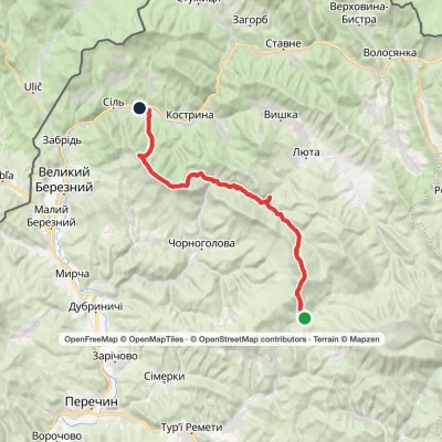 HardMulti-dayLumshory village to Sil villagevia Mount Mala Holytsia, Mount YavirnykElevation profile258–1 184 m35.5 kmascent 1 569 m≈ 12 h walking
 EasyOne-dayMarkedBilasovytsia village Mount PikuiElevation profile594–1 408 m4.5 kmascent 814 m≈ 3 h walking
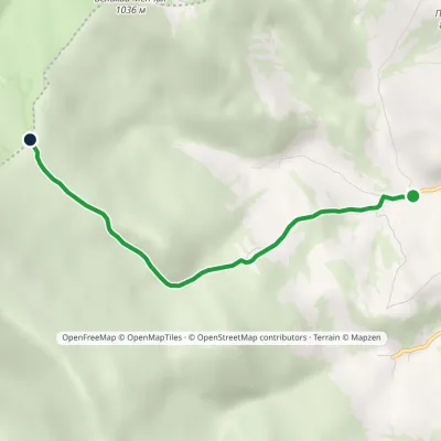 EasyOne-dayMarkedBilasovytsia village Mount KosharyshcheElevation profile586–1 085 m4 kmascent 499 m≈ 2 h walking
Peaks and meadows
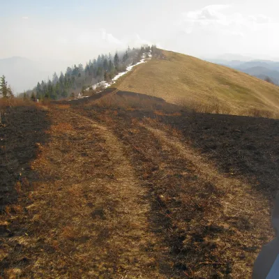 PeakMount Vysokyi Verkh (Rosokhatskyi)Rosokhachaltitude 1 177 m · Skole Beskids range2 trails to the topVysokyi Verkh (Rosokhatskyi) is a 1,176.8 m summit on the border of the Skole Beskids and the Stryi-Sian Highland.
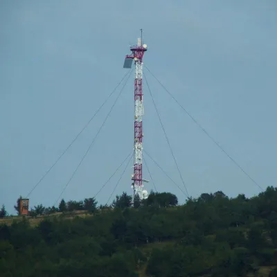 PeakMount Horodyshche (Boryslav)Boryslavaltitude 646 mHorodyshche (646 m; other sources give 641.8 m) is a hill in the Upper Dniester Beskids and the highest point of the...
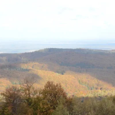 PeakMount BobovyshcheOrivaltitude 817 m4 trails to the topBobovyshche (also called Popivska) is an 817 m mountain in the Upper Dniester Beskids, Lviv Oblast.
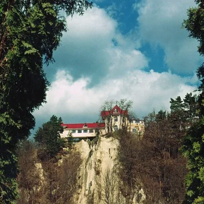 PeakCastle Hill (City)Kosivaltitude 450 mThe top offers a panoramic view of the city. The mountain is home to unique black alpine pines, as well as deciduous...
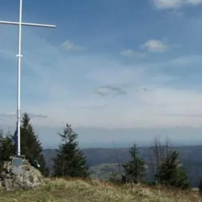 PeakMount LopataKorostivaltitude 1 211 m14 trails to the topThe mountain is located on the Zelemyanka ridge at a distance of 8 km south of the town of Skole.
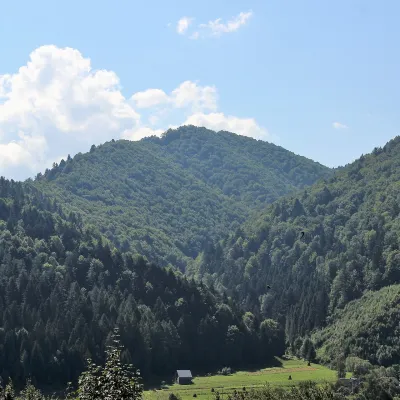 PeakMount of the Heroes of the Heavenly HundredRybnykaltitude 886 m · Skole Beskids rangeThe Mount of the Heroes of the Heavenly Hundred (locally Konova or Horb) is an 886 m summit (890 m according to other...
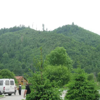 PeakMount ZeleminHrebenivaltitude 1 177 m · Skole Beskids range1 trail to the topZelemin is a 1,177 m summit in the north-western part of the Zelemianka ridge in the Skole Beskids (Lviv Oblast).
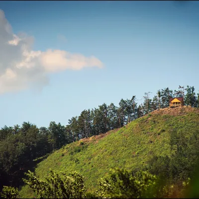 PeakMount Ostry (Ostra)Kosivaltitude 584 m2 trails to the topThe mountain offers wonderful views of the entire Kosiv. The descent is steep, and autumn is magical here.
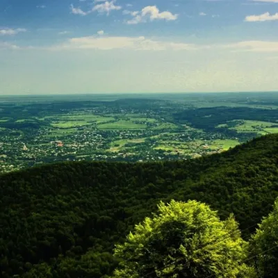 PeakMount Mykhalkova (Kosiv)Kosivaltitude 812 m2 trails to the topMount Mykhalkova (Mykhalkiv), with a height of 812 meters, is part of the Pokuttya Carpathians.
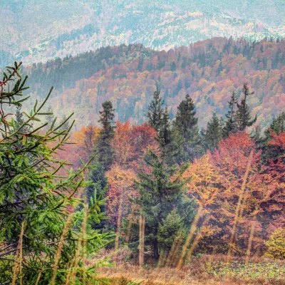 PeakMount Tymkiv VerkhKorostivaltitude 1 227 m · Skole Beskids range1 trail to the topTymkiv Verkh (also spelled Tymkyn Verkh) is a 1,227 m summit on the Parashka ridge in the Skole Beskids, Lviv Oblast.
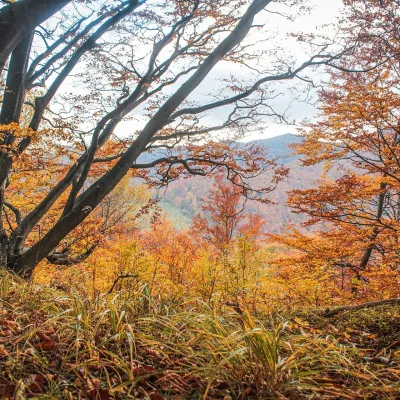 PeakMount Dil (Krushelnytsia)Krushelnytsiaaltitude 899 m · Skole Beskids rangeIt lies north-east of the Parashka ridge, about 2.6 km from Parashka itself (1,268 m), and rises above the village of...
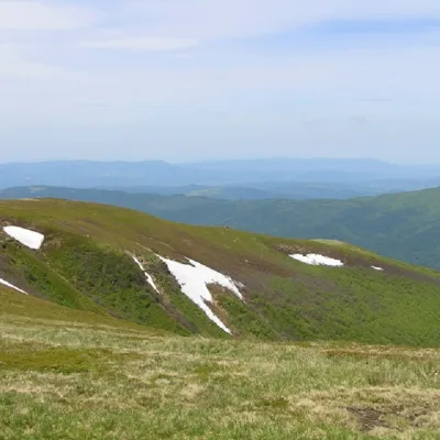 PeakMount Runa-PlaiTurya Polyanaaltitude 1 227 m3 trails to the topRuna-Play is a 1,227-meter peak of the Ukrainian Carpathians, located in the southeastern part of the Runa Valley.
Waters and waterfalls
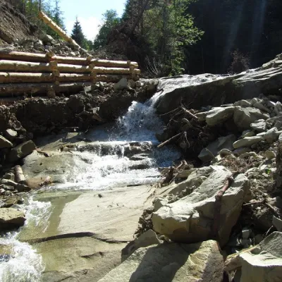 WaterfallSiruchok waterfallTovarnytsiaSiruchok is a waterfall located in the Putyla district of the Chernivtsi region of Ukraine. its height reaches about...
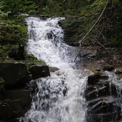 WaterfallNyzhnyi Huk waterfallRoztokyNyzhnyi Huk waterfall is located in the Vyzhnytsia district of Chernivtsi region in western Ukraine.
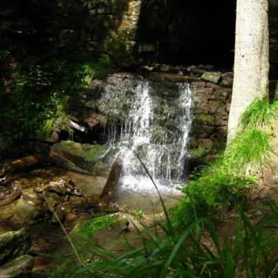 WaterfallLumshory waterfallsLumshoryLumshory waterfalls are a group of waterfalls in the Ukrainian Carpathians, a hydrological natural monument of local...
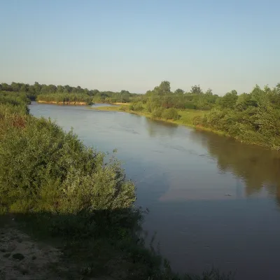 RiverSiret RiverBerehometThe Siret is a major Danube tributary 682 km long, but only its first 123 km lie in Ukraine.
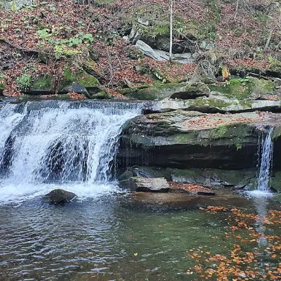 WaterfallKrushelnytskyi waterfallKrushelnytsiaThe real decoration of the mighty Carpathian Mountains is its numerous picturesque waterfalls.
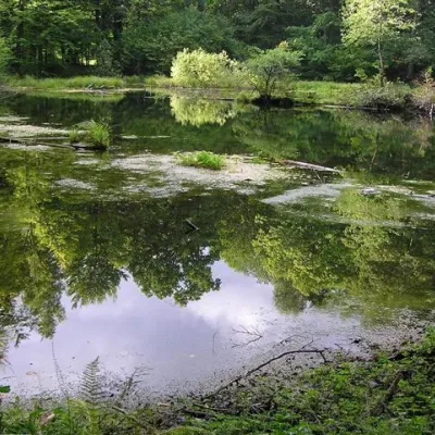 LakeLake Lebedyn (Sheshory)SheshoryLake Lebedyn (Lebedine) is located at an altitude of 650 m amidst beech forests and has been a protected area since...
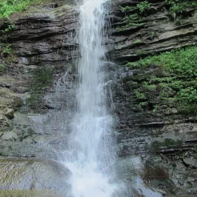 WaterfallLazny waterfallDrohobych districtLaznyi is a waterfall in the Ukrainian Carpathians (in the Skole Beskydy massif), a hydrological natural monument of...
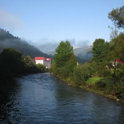 RiverBila Tysa RiverBohdanThe Bila Tysa rises on the south-western slopes of Chornohora, where the Stohovets and Balzatul streams meet, and...
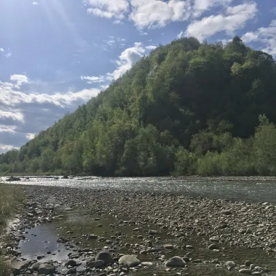 RiverBystrytsia Nadvirnianska RiverNadvirnaThe Bystrytsia Nadvirnianska rises on the northern slope of Mount Chorna Kleva in the Gorgany, at about 1,280 m.
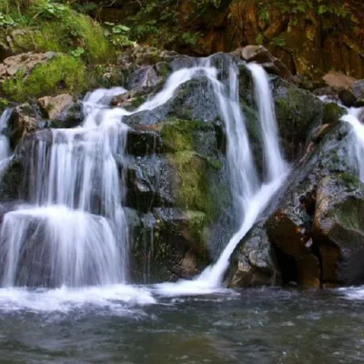 WaterfallKamianka waterfallDubyna"Kamianka Waterfall or Kamianka Waterfall is the most famous waterfall located on the mountain river of the same name...
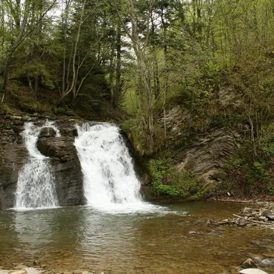 WaterfallGurkalo waterfallKorchynGurkal, located on the Velyka Richka River, has a very eloquent name! You can't argue with it, especially when the...
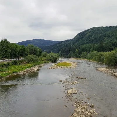 RiverOpir RiverSkoleThe Opir is a 58-km mountain river of the Skole Beskids. It rises on the eastern slope of Mount Velykyi Yavirnyk,...
Mountain ranges: Bieszczady, Skole Beskids. In other countries: 🇸🇰 Slovak Ore Mountains, 🇨🇿 Moravian-Silesian Beskids, 🇸🇰 Lesser Fatra, 🇸🇰 Greater Fatra, 🇸🇰 Strážov Mountains, 🇸🇰 Low Tatras, 🇸🇰 Vihorlat Mountains, 🇸🇰 Belianske Tatras, 🇸🇰 Western Tatras, 🇵🇱 Low Beskids, 🇸🇰 Kremnica Mountains, 🇸🇰 Slovak Central Mountains
Trails and peaks near which naturalists recorded the species (GBIF, iNaturalist), matched by altitude and habitat. Sightings are not guaranteed.
Sources
- Вікіпедія: Місячниця гірська
- Wikipedia (en): Lunaria rediviva
- Наказ Міндовкілля від 15.02.2021 № 111: Перелік видів рослин та грибів, що заносяться до Червоної книги України
- GBIF: список рослин і грибів Червоної книги України за наказом № 111 (з категоріями)
- iNaturalist: Lunaria rediviva (спостереження в Карпатах)
GBIF · iNaturalist · Wikidata · Distribution data: GBIF.org (CC0 and CC BY records), iNaturalist; names and identifiers: Wikidata (CC0). Text: Karpaty.rocks, checked 09.11.2026.
