Carpathian monkshood
This plant is poisonous: do not taste or pick it, and wash your hands after touching it. In case of poisoning call 112 (103 in Ukraine).
About
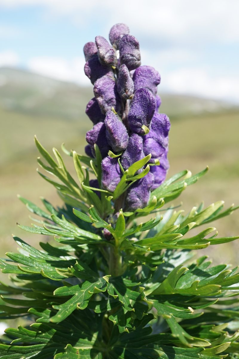
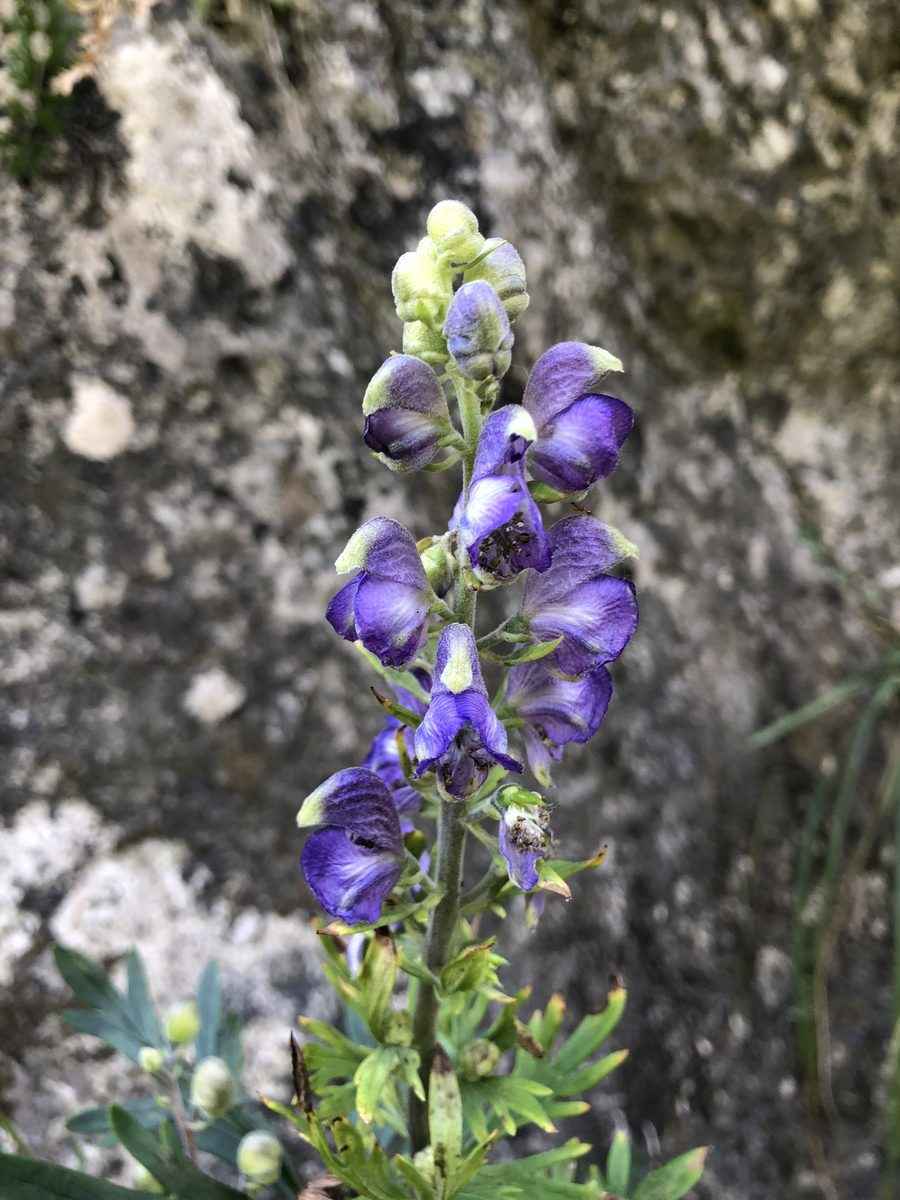
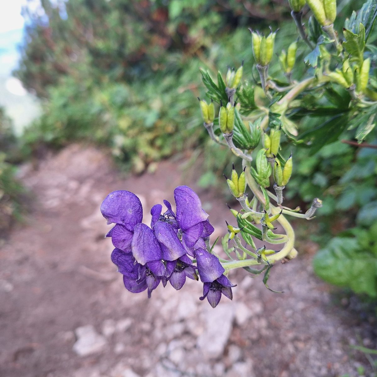
Carpathian monkshood is a tall plant with dark blue flowers, easily noticeable at the end of summer in mountain meadows, by streams, in tall grass, and on rocky places in the upper forest zone. The main range of the species is the Western Carpathians in Poland, Slovakia, and the Czech Republic; it is less common in the Ukrainian and Romanian Carpathians.
The plant grows to 1 m and higher with a straight, sturdy stem. The leaves are palmately divided and deeply lobed. The flowers are blue-violet, gathered in a dense elongated raceme. Each flower has a characteristic shape: the upper petal-like sepal forms a 'helmet' or hood under which small nectaries are hidden. Only bumblebees, strong enough to get under the helmet, pollinate the plant. It blooms from July to September.
All parts of the plant, especially the tuberous roots and seeds, contain aconitine — a potent nerve poison. Poisoning causes numbness of the lips and tongue, nausea, heart rhythm disturbances, and can be fatal. Therefore, the plant should not be picked with bare hands, and hands should be washed after contact.
In Poland, Carpathian monkshood, like all monkshoods, is protected. In Ukraine, the species is not listed in the current Red Book, but there are also red-listed aconites in the Carpathians. The best behavior around the plant for everyone is to admire it from a distance and keep children and dogs away.
Where in the Carpathians

The map shows where naturalists recorded the species (GBIF, CC0 and CC BY records), not every place it lives. The Ukrainian Carpathians are less studied, so a blank area does not mean the species is absent.
- Countries
- Slovakia · Ukraine · Czechia · Poland
- Mountain ranges
- High Tatras, Western Tatras, Lesser Fatra, Low Tatras, Belianske Tatras, Żywiec Beskids, Moravian-Silesian Beskids, Slovak Paradise, Chornohora, Strážov Mountains
- Altitude belts
- Beech forests (600–1200 m) · Conifer forests (1200–1600 m) · Subalpine belt (1600–1900 m) · Alpine belt (above 1900 m)
When to see it
| Jan | Feb | Mar | Apr | May | Jun | Jul | Aug | Sep | Oct | Nov | Dec | |
|---|---|---|---|---|---|---|---|---|---|---|---|---|
| Flowering | ||||||||||||
| Fruit |
From naturalists’ observations in the Carpathians (iNaturalist, research grade): the darker the cell, the more often the species is seen that month.
Safety
Deadly poisonous: all parts, especially the roots and seeds. Do not pick with bare hands, wash hands after contact, and do not touch eyes or mouth. Keep children and animals away. In case of suspected poisoning, call 103 (or 112).
Protection and rules
Not listed in the Red Book of Ukraine; protected in Poland. Do not pick — for the sake of the plant and your own safety.
FAQ
Is aconite poisonous?
Yes, Carpathian monkshood (aconite) is one of the most poisonous plants in Europe. Aconitine is found in all parts of the plant, most in the roots and seeds.
What does Carpathian monkshood look like?
A tall plant with palmately lobed leaves and a dense raceme of blue-violet flowers resembling a helmet or hood. It blooms from July to September.
Similar species
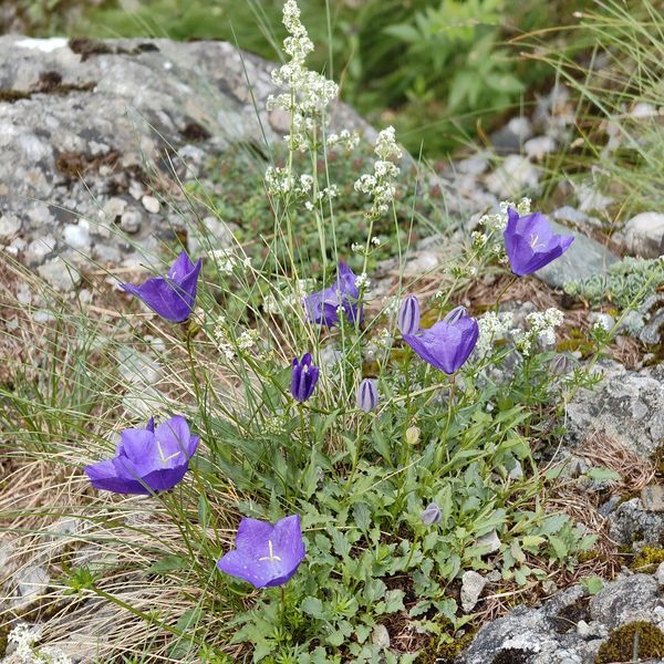
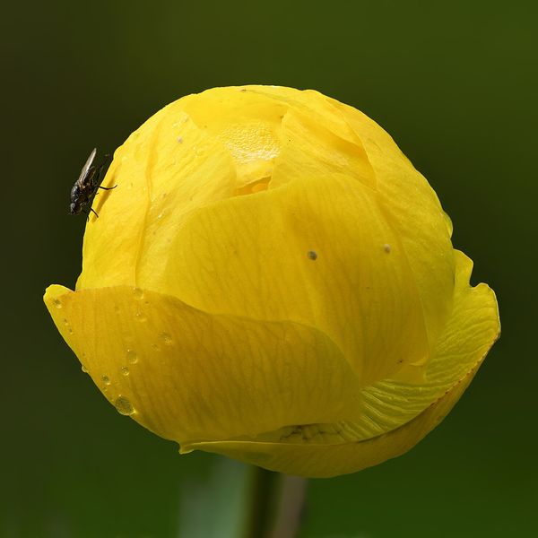
Where to meet it
Trails
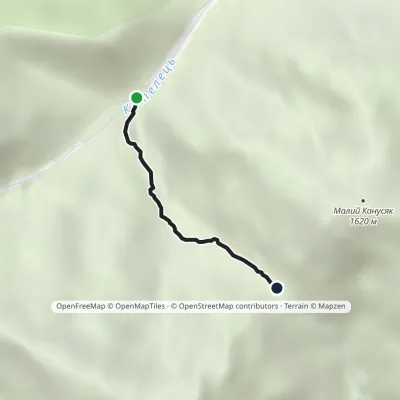 EasyOne-dayMarkedTrail to Velykyi and Malyi KanusiakElevation profile964–1 364 m1.8 kmascent 400 m≈ 1.5 h walking
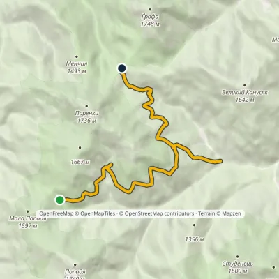
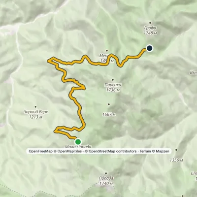 ModerateOne-dayMarkedParenky traverse (yellow route)Elevation profile1 249–1 597 m13 kmascent 387 m≈ 4 h walking
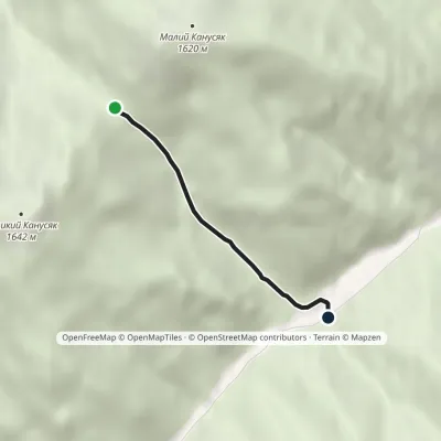 EasyOne-dayMarkedPetros river Kanusiakyvia Pereluch polonynaElevation profile858–1 361 m2.3 kmascent 26 m≈ 45 min walking
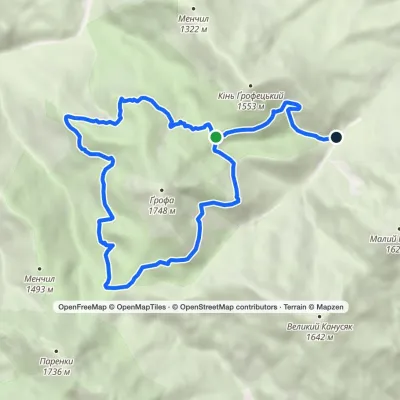 ModerateOne-dayMarkedEco-trail around Mount GrofaElevation profile914–1 472 m13.6 kmascent 302 m≈ 4 h walking
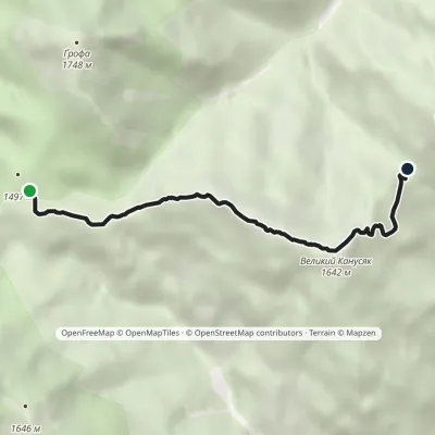 EasyOne-dayMarkedTrail to Mount Velykyi KanusiakElevation profile1 359–1 642 m4.9 kmascent 279 m≈ 2 h walking
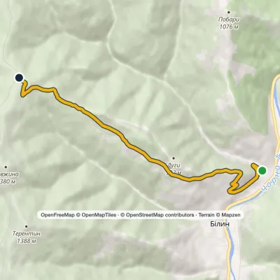 ModerateOne-dayMarkedBilyn village Perelisok shelterElevation profile509–1 279 m6.5 kmascent 770 m≈ 3 h walking
 ModerateOne-dayMarkedTo Mlynky shelterElevation profile963–1 456 m11.7 kmascent 640 m≈ 4 h walking
 HardTwo-dayKolochava village loopvia Mount Darvaika, Mount NehrovetsElevation profile565–1 687 m21.9 kmascent 1 554 m≈ 8.5 h walking
 HardMulti-dayMarkedSynevyr village to Kolochava villagevia Mount NehrovetsElevation profile556–1 707 m25.4 kmascent 1 248 m≈ 9 h walking
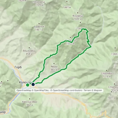 ModerateTwo-dayMarkedKolochava village loopvia Mount DarvaikaElevation profile558–1 383 m18.5 kmascent 838 m≈ 6.5 h walking
 ModerateOne-dayMarkedKuzmynets village Mount VysokaElevation profile686–1 803 m11.1 kmascent 1 122 m≈ 5 h walking
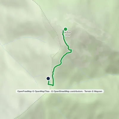 EasyOne-dayMarkedHrynkiv village Mount SeredniaElevation profile1 459–1 639 m1.3 kmascent 1 m≈ 15 min walking
Peaks and meadows
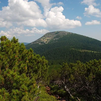 PeakMount GrofaOsmolodaaltitude 1 748 m · Gorgany range14 trails to the topGrofa (1748 m) is a cone-shaped peak of the Gorgany range above Osmoloda, in the national Grofa landscape reserve;...
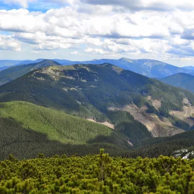 PeakParenki MountainOsmolodaaltitude 1 735 m · Gorgany range11 trails to the topMount Parenky is a popular peak in the Ukrainian Carpathians. It is located in the Gorgan mountain range on the...
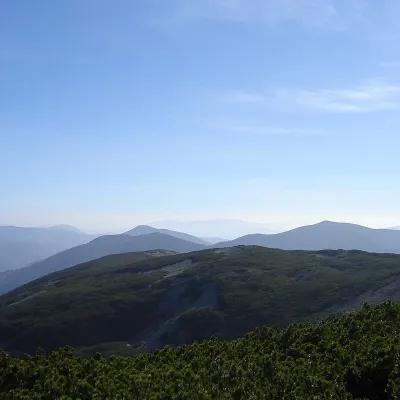 PeakMount StudenetsOsmolodaaltitude 1 600 m · Gorgany range1 trail to the topMount Studenets (also known as Studinets, Studynets) is a 1600-meter peak of the Ukrainian Carpathians, located...
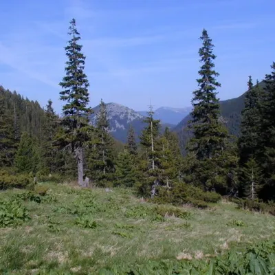 Mountain meadow1 472 mPolonyna PlisceOsmolodaThere are many mountain meadows in the Carpathians, but Plitse stands out from the rest.
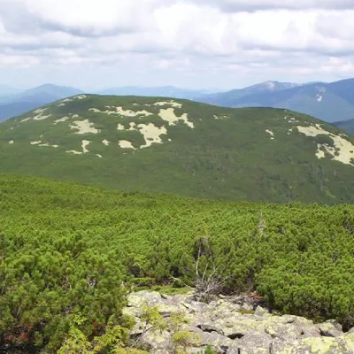 PeakMount Mala PopadiaOsmolodaaltitude 1 597 m · Gorgany range11 trails to the topMount Mala Popadia is the peak of the Ukrainian Carpathians, located in the Gorgan mountain range.
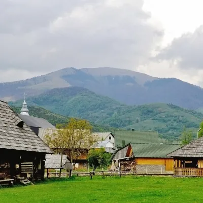 PeakMount DarvaikaKolochavaaltitude 1 502 m · Gorgany range1 trail to the topDarvaika is a mountain of the Inner Gorgany, in the south-eastern part of the Pyshkonia ridge.
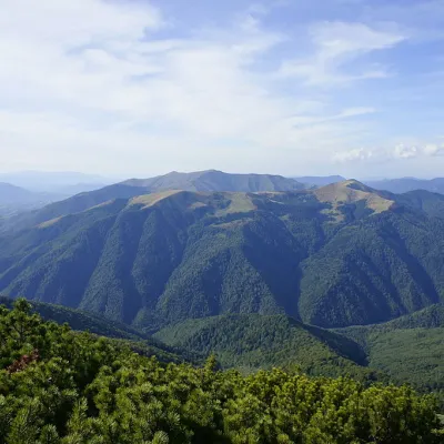 PeakMount YasnovetsKolochavaaltitude 1 600 m · Gorgany range3 trails to the topYasnovets is a mountain in the Ukrainian Carpathians, in the Inner Gorgany massif.
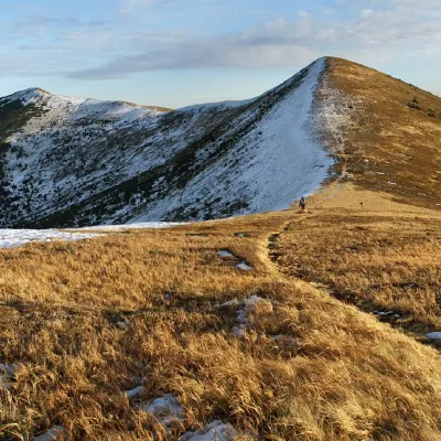 PeakMount NegrovetsNehrovetsaltitude 1 707 m · Gorgany range6 trails to the topMount Negrovets is a peak in the Ukrainian Carpathians, which lies within the Gorgan mountain range (Inner Gorgan...
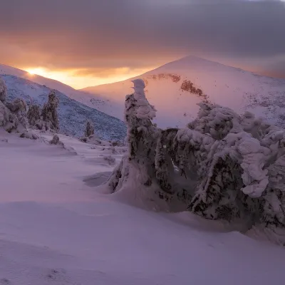 PeakMount HorbNehrovetsaltitude 1 687 m · Gorgany rangeHorb is a 1,687 m summit on the Pishkonia ridge of the Inner Gorgany, in the Mizhhiria area (now Khust district) of...
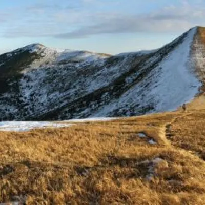 PeakMount Velyka GropaNehrovetsaltitude 1 667 m5 trails to the topToday we will move to the Mizhhirya region, namely to the Pishkonya massif, where the Velyka Gropa mountain rises.
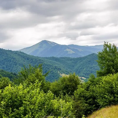 PeakMount StrymbaKolochavaaltitude 1 719 m · Gorgany range4 trails to the topMount Strymba is a 1,719-meter peak of the Ukrainian Carpathians, which lies within the Gorgan mountain range - on...
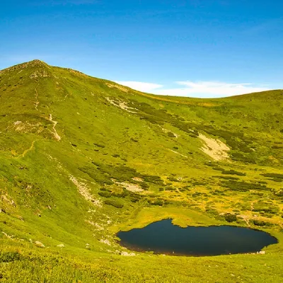 PeakMount Gutin TomnatikBystretsaltitude 2 016 m · Chornohora range79 trails to the topGutin Tomnatik (2016 m) is the fifth highest mountain in Ukraine, on a south-western spur of Chornohora in the...
Waters and waterfalls
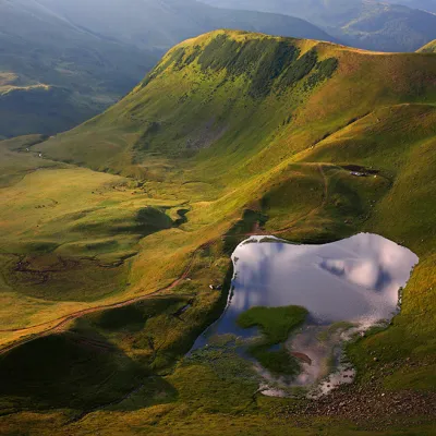 LakeLake Gereshaska (Dogyaska)YasinyaGerashaska (another name - Dogyaska ) is a high-mountain lake in the Ukrainian Carpathians, within the Rakhiv...
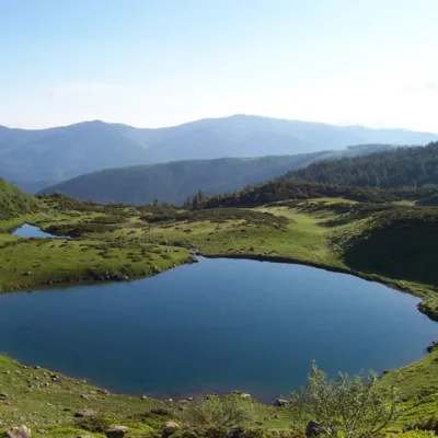 LakeLake VorozheskayaChorna TysaThe real pearl of the Carpathians - Lake Vorozheska (other names - Vorozheska, Triton ) - is a hydrological natural...
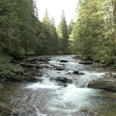 RiverPrutKryvopilliaThe Prut River is a river that connects several countries and is of great natural, historical and cultural importance.
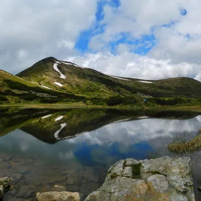 LakeHigh-mountainous Lake Nesamovite (1750 m.a.s.l., Chornohora ridge)VorokhtaNesamovyte is one of the highest lakes in the Ukrainian Carpathians (1750 m above sea level).
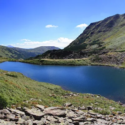 LakeLake BrebeneskulLuhyBrebeneskul is the highest mountain lake in the Ukrainian Carpathians (1801 m above sea level), a hydrological...
 LakeLake MaricheykaYavirnyk (Shybene)Lake Maricheyka is one of the most picturesque high-altitude glacial lakes in the Carpathians, located on the...
Mountain ranges: Chornohora, Gorgany, Svydovets. In other countries: 🇸🇰 High Tatras, 🇸🇰 Western Tatras, 🇸🇰 Lesser Fatra, 🇸🇰 Low Tatras, 🇸🇰 Belianske Tatras, 🇵🇱 Żywiec Beskids, 🇨🇿 Moravian-Silesian Beskids, 🇸🇰 Slovak Paradise, 🇸🇰 Strážov Mountains, 🇸🇰 Greater Fatra, 🇸🇰 Slovak Ore Mountains
Trails and peaks near which naturalists recorded the species (GBIF, iNaturalist), matched by altitude and habitat. Sightings are not guaranteed.
Sources
- Вікіпедія: Тоя міцна
- Wikipedia (en): Aconitum firmum
- Wikipedia (pl): Tojad mocny
- GBIF: список рослин і грибів Червоної книги України за наказом № 111 (з категоріями)
GBIF · iNaturalist · Wikidata · Distribution data: GBIF.org (CC0 and CC BY records), iNaturalist; names and identifiers: Wikidata (CC0). Text: Karpaty.rocks, checked 09.11.2026.
