White false hellebore
This plant is poisonous: do not taste or pick it, and wash your hands after touching it. In case of poisoning call 112 (103 in Ukraine).
About
White false hellebore is one of the most noticeable plants of the Carpathian polonynas. It grows in subalpine and mountain meadows, near Sadyba, sheepfolds, and stables, in tall grass and in wet places near streams. Livestock do not eat white false hellebore, so it often forms dense thickets around summer pastures.
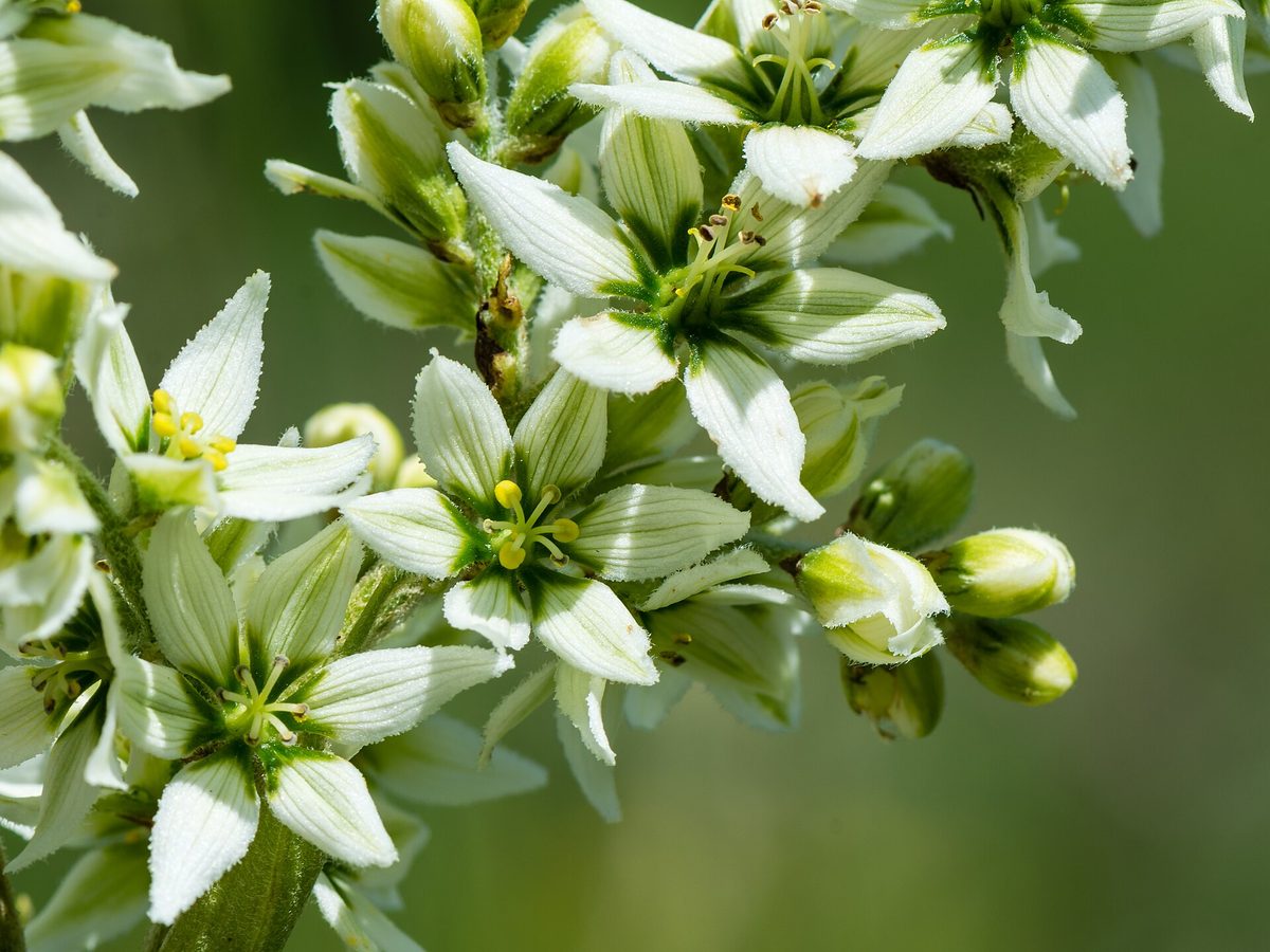
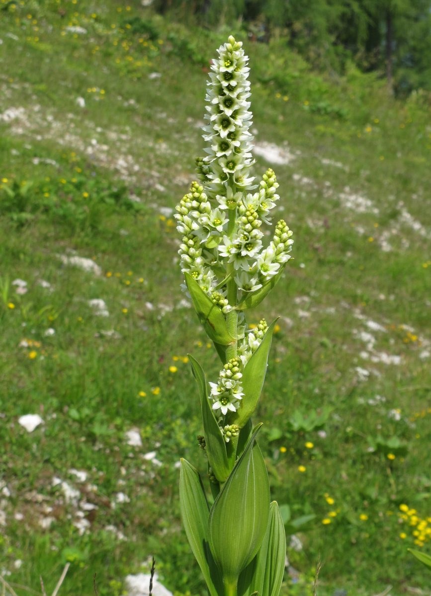
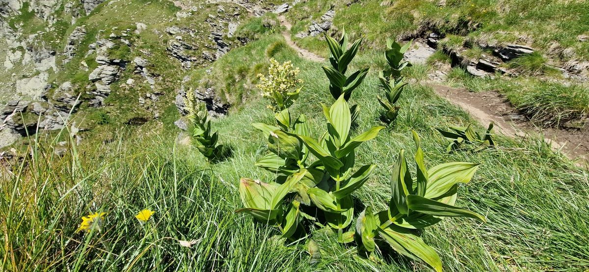
The plant is 50–150 cm tall with a thick, straight stem. The leaves are large, broadly elliptical, longitudinally pleated, as if crumpled, smooth on top, and hairy underneath; they are arranged spirally, alternately. The flowers are small, dirty white inside, greenish outside, gathered in a large, sprawling inflorescence at the top. It blooms from June to August.
The entire plant is highly poisonous, especially the rhizome: the alkaloids of white false hellebore lower blood pressure, slow the heart rate, cause vomiting, convulsions, and can be fatal. The poison does not break down during drying; on the contrary, it concentrates.
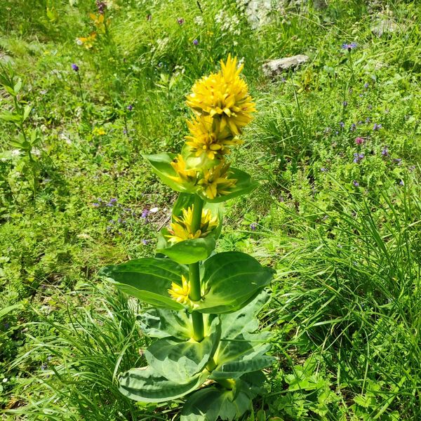
The most dangerous confusion is with Gentiana lutea, a red-listed plant of the same polonynas, whose root was once dug for bitter tinctures. Before flowering, their rosettes are very similar. The main difference is the leaves: in Gentiana lutea, they are opposite, in pairs, smooth on both sides, with arcuate veins; in white false hellebore, they are alternate, spirally arranged, pleated, and hairy underneath. Gentiana lutea blooms with bright yellow flowers, while white false hellebore has a whitish-green inflorescence.
Where in the Carpathians

The map shows where naturalists recorded the species (GBIF, CC0 and CC BY records), not every place it lives. The Ukrainian Carpathians are less studied, so a blank area does not mean the species is absent.
- Countries
- Slovakia · Romania · Ukraine · Poland · Czechia · Hungary
- Mountain ranges
- Western Tatras, Low Tatras, High Tatras, Greater Fatra, Lesser Fatra, Żywiec Beskids, Slovak Ore Mountains, Slovak Paradise, Belianske Tatras, Volovec Mountains
- Altitude belts
- Beech forests (600–1200 m) · Conifer forests (1200–1600 m) · Subalpine belt (1600–1900 m)
When to see it
| Jan | Feb | Mar | Apr | May | Jun | Jul | Aug | Sep | Oct | Nov | Dec | |
|---|---|---|---|---|---|---|---|---|---|---|---|---|
| Flowering | ||||||||||||
| Fruit |
From naturalists’ observations in the Carpathians (iNaturalist, research grade): the darker the cell, the more often the species is seen that month.
Safety
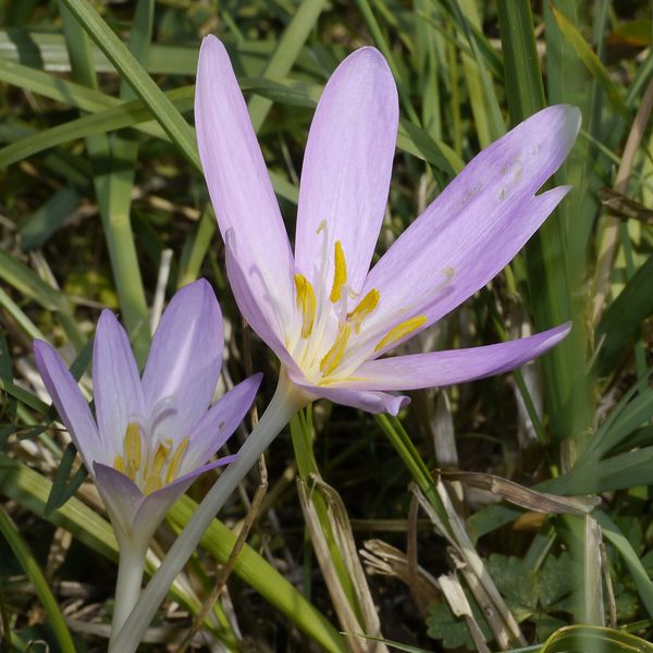
The entire plant is very poisonous, especially the rhizome; drying does not break down the poison. Do not confuse with Gentiana lutea. In case of suspected poisoning, call 103 (or 112).
Look-alikes — how to tell them apart
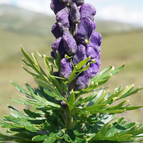
Leaves are opposite, smooth, with arcuate veins; flowers are bright yellow in whorls on the stem. In white false hellebore, leaves are alternate, pleated, and hairy underneath.
Protection and rules
Not protected.
FAQ
Is white false hellebore poisonous?
Yes, very. All parts are poisonous, especially the rhizome, and drying does not break down the poison.
How to distinguish white false hellebore from Gentiana lutea?
In white false hellebore, leaves are alternate, spirally arranged, pleated, and hairy underneath, with whitish-green flowers. In Gentiana lutea, leaves are opposite, smooth, with arcuate veins, and flowers are bright yellow.
Similar species
Where to meet it
Trails
 EasyOne-dayTuria Poliana village Voievodyn WaterfallElevation profile431–878 m7 kmascent 447 m≈ 2.5 h walking
 ModerateTwo-dayTuria Poliana village loopvia Voievodyn WaterfallElevation profile471–979 m14.3 kmascent 506 m≈ 4.5 h walking
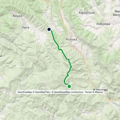 ModerateTwo-dayMarkedMount Hostra PrelukyElevation profile660–1 405 m19.4 kmascent 1 038 m≈ 7 h walking
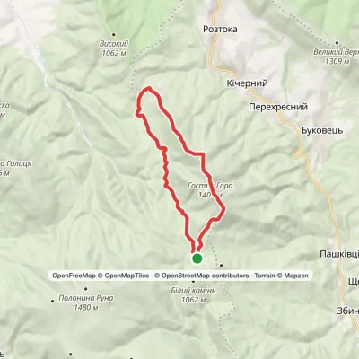 ModerateTwo-dayPreluka tract loopvia Mount Ostra Hora, Mount Lysyna +1Elevation profile752–1 405 m18.1 kmascent 874 m≈ 6.5 h walking
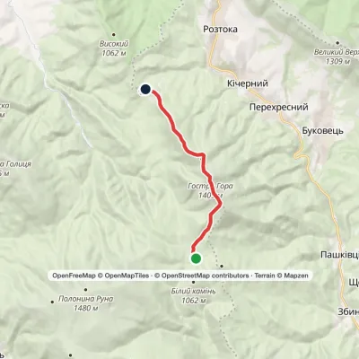 ModerateOne-dayMarkedPreluka tract to Roztoka villagevia Mount Ostra HoraElevation profile839–1 405 m9.5 kmascent 567 m≈ 3.5 h walking
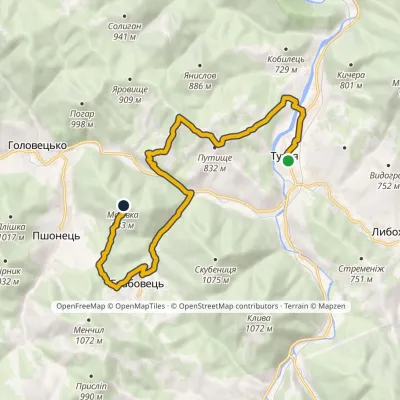 ModerateOne-dayMarkedNo. 5014 «To Zakhar Berkut»: Tukhlia Mount MakivkaElevation profile525–958 m14.4 kmascent 743 m≈ 5 h walking
Peaks and meadows
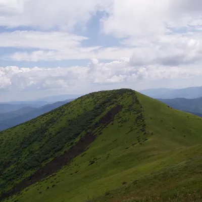 PeakOstra GoraPerekhresnyialtitude 1 405 m9 trails to the topOstra Hora is a 1405-meter peak in the Ukrainian Carpathians, located on the Polonyna ridge (northwestern part),...
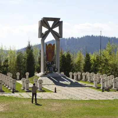 PeakMount MakivkaSlavskealtitude 958 m2 trails to the topMakivka is a mountain in the High Beskid about 8 km north of the town of Slavske in Lviv Oblast.
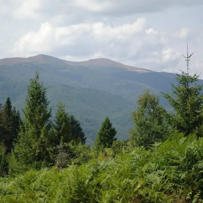 Mountain meadow1 400 mPolonyna Rivna (Runa)LumshoryPolonyna Rivna, more often called Runa in Zakarpattia (in the local dialect "runa" means exactly "flat"), is a broad,...
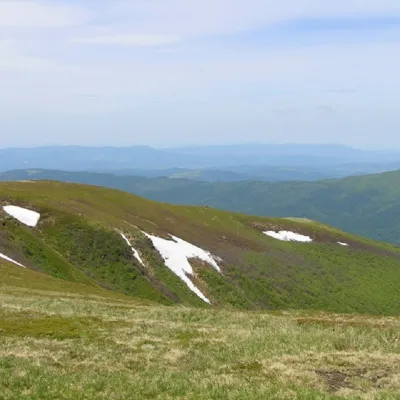 PeakMount Runa-PlaiTurya Polyanaaltitude 1 227 m3 trails to the topRuna-Play is a 1,227-meter peak of the Ukrainian Carpathians, located in the southeastern part of the Runa Valley.
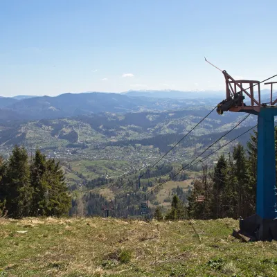 PeakMount TrostianSlavskealtitude 1 232 m · Skole Beskids rangeTrostian is a peak of the Skole Beskids in Lviv Oblast, west of the town of Slavske.
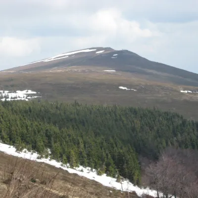 PeakMount Rivna (Polonyna Runa)Lumshoryaltitude 1 480 mRivna, or Polonyna Runa (“runa” means “flat” in the local Transcarpathian dialect), is a mountain massif and its...
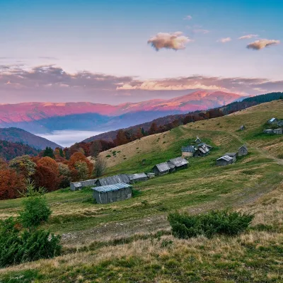 Mountain meadow1 240 mPolonyna Menchul (Kvasy)KvasyMenchul Polonyna above the village of Kvasy is a broad open shoulder on the south-western spur of the Chornohora...
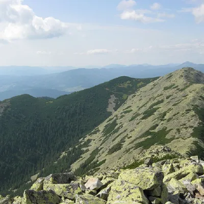 PeakMount VedmezhikBystrytsiaaltitude 1 737 m · Gorgany range10 trails to the topMount Vedmezhyk is a massive 1,737-meter peak of the Ukrainian Carpathians, located on the Dovbushansky ridge of the...
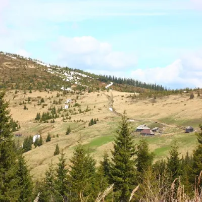 PeakMount PnivieHramotnealtitude 1 586 m · Hryniava Mountains range4 trails to the topPnivie (also known as Pnevi and Pnevie) is a 1586-meter peak in the Hryniavskyi mountain range of the Ukrainian...
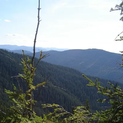 PeakMount Kinets HorhanuOsmolodaaltitude 1 599 m · Gorgany range2 trails to the topThe End of Horgan is a 1599-meter mountain of the Ukrainian Carpathians, which is located on the Horgan Ridge (its...
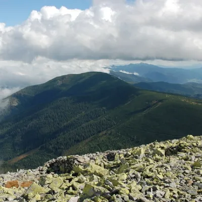 PeakMount NegrovaStara Hutaaltitude 1 604 m · Gorgany range11 trails to the topNegrova is a peak in the central part of the Gorgan mountain range(Ukrainian Carpathians).
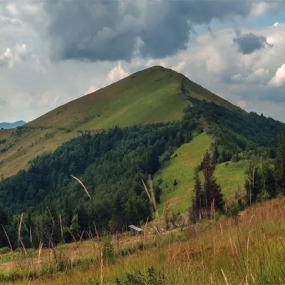 PeakMount ParashkaSkolealtitude 1 268 m · Skole Beskids range17 trails to the topParashka (1268 m) is the highest peak of the ridge of the same name in the Skole Beskids, 8 km north-west of Skole; a...
Waters and waterfalls
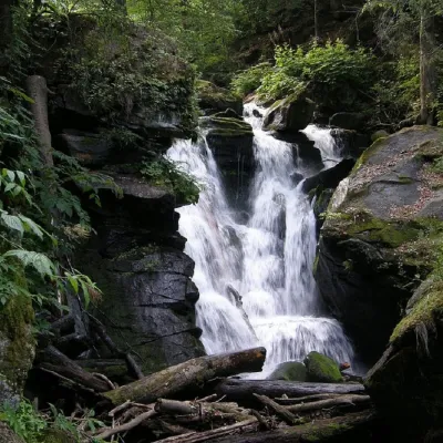 WaterfallVojvodyn waterfallPolianska HutaThe Voyevodyn Waterfall is located on the stream of the same name near the village of Zhdeniyevo in Zakarpattia...
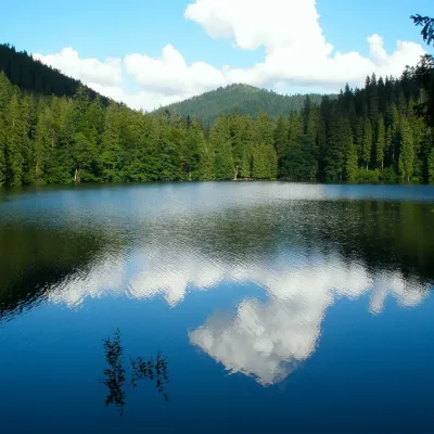 LakeSynevyr Lake Synevyrska PolyanaSynevyrska PolyanaLake Synevyr, located on the territory of the National Nature Park of the same name in Mizhhirya district of...
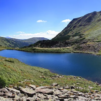 LakeLake BrebeneskulLuhyBrebeneskul is the highest mountain lake in the Ukrainian Carpathians (1801 m above sea level), a hydrological...
Mountain ranges: In other countries: 🇸🇰 Western Tatras, 🇸🇰 Low Tatras, 🇸🇰 High Tatras, 🇸🇰 Greater Fatra, 🇸🇰 Lesser Fatra, 🇵🇱 Żywiec Beskids, 🇸🇰 Slovak Ore Mountains, 🇸🇰 Slovak Paradise, 🇸🇰 Belianske Tatras, 🇸🇰 Volovec Mountains, 🇸🇰 Vihorlat Mountains, 🇸🇰 Kysuce Beskids, 🇸🇰 Kremnica Mountains, 🇸🇰 Javorníky
Trails and peaks near which naturalists recorded the species (GBIF, iNaturalist), matched by altitude and habitat. Sightings are not guaranteed.
Sources
GBIF · iNaturalist · Wikidata · Distribution data: GBIF.org (CC0 and CC BY records), iNaturalist; names and identifiers: Wikidata (CC0). Text: Karpaty.rocks, checked 09.11.2026.
