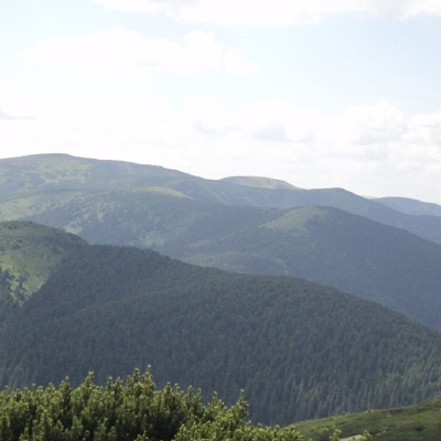
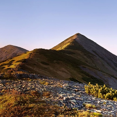
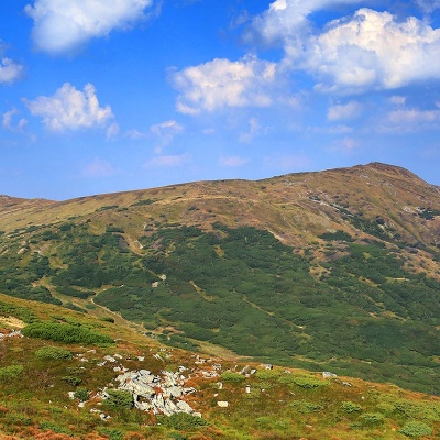
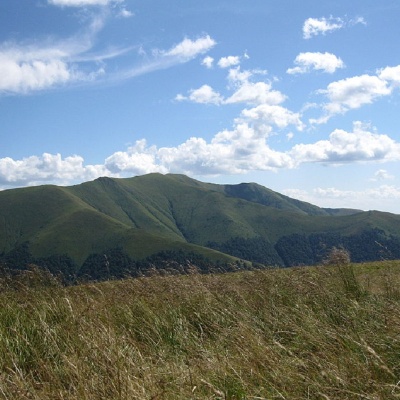
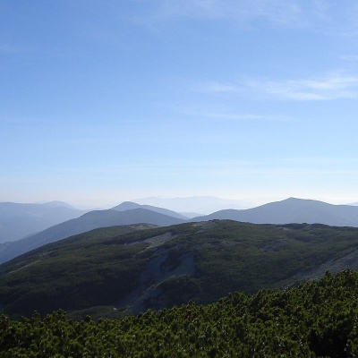
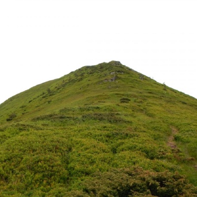
Peaks
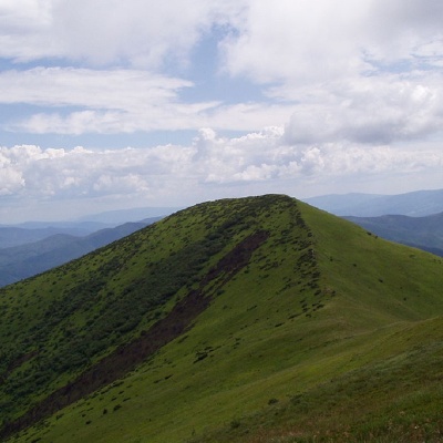
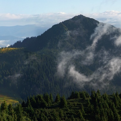
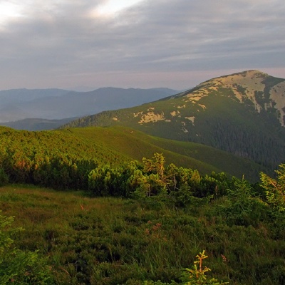
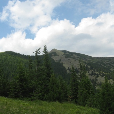
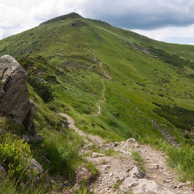
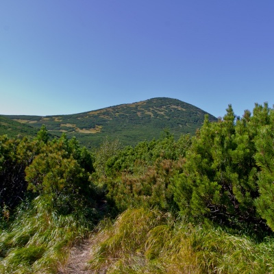
Ostra Gora
Tourist route in Ostra Hora, Zakarpattia region, Ukraine. Переглянути на карті
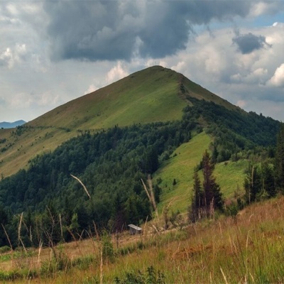
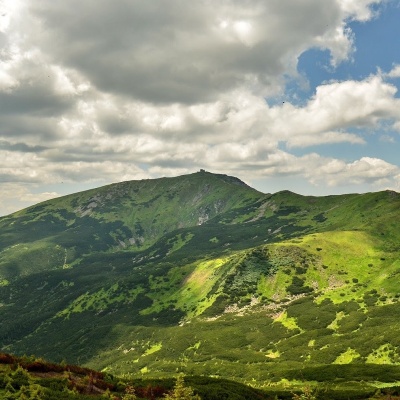
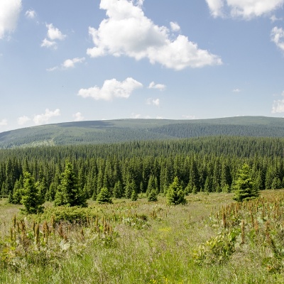
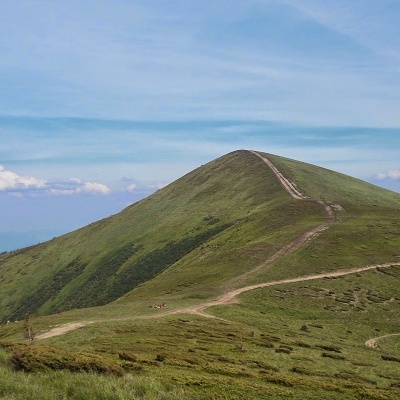
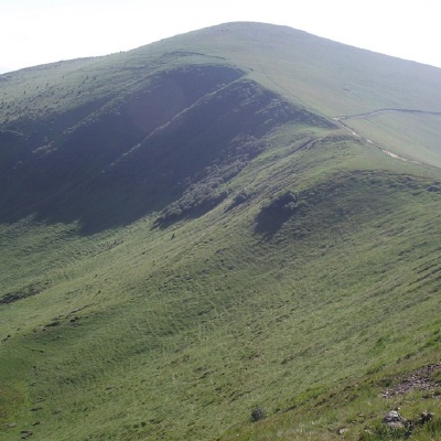
Mount Parashka
Skole Parashka, Lviv region, Ukraine. Переглянути на карті
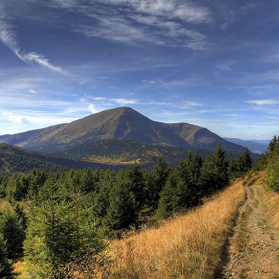
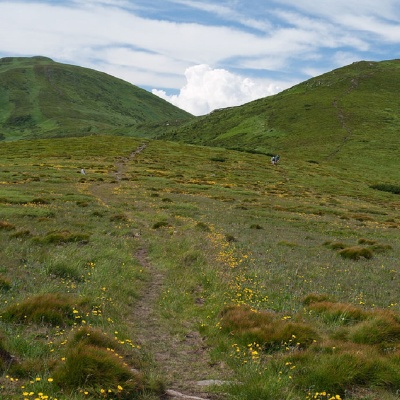
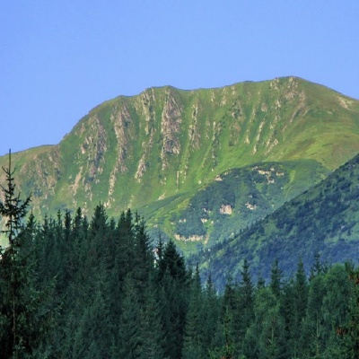
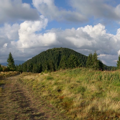
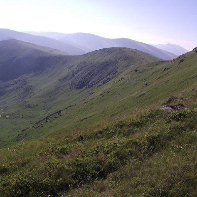
Mount Petros
Hiking route to Mount Petros, Transcarpathian region, Ukraine. Переглянути на карті
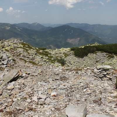
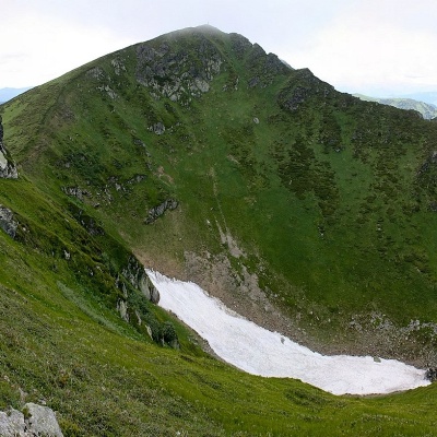
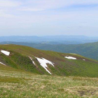
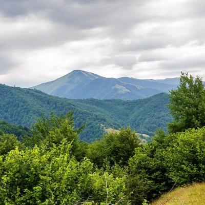
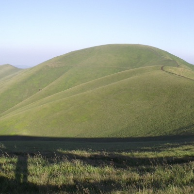
Mount Petros Gorgansky
Hiking route to Petros Horhanskyi mountain, Osmoloda, Ivano-Frankivsk region, Ukraine. Переглянути на карті
Mount Petros of Marmaros
Hiking route to the Petros Marmarosky mountain, Transcarpathian region, Ukraine. Переглянути на карті
Mount Pip Ivan of Chornohora (Pip Ivan, Black Mountain)
Tourist route to the mountain Pip Ivan Chornohirsky, Ivano-Frankivsk region, Ukraine. Переглянути на карті
Mount Pozhyzhevska
Hiking route to Mount Pozhyzhevska, Ivano-Frankivsk region, Ukraine. Переглянути на карті
Mount Pip Ivan of Marmarosh
Hiking route to the mountain Pip Ivan Marmarosky, Zakarpattia region, Ukraine. Переглянути на карті
Mount Velyka Popadia
Hiking route to the mountain Velyka Popadia, Osmoloda, Ivano-Frankivsk region, Ukraine. Переглянути на карті
Mount Purul
Hiking route to Mount Purul, Ivano-Frankivsk region, Ukraine. Переглянути на карті
Mount Rebra
Hiking route to Mount Rebra, Transcarpathian region, Ukraine. Переглянути на карті
Mount Runa Ply
Turya Polyana, Transcarpathian region, Ukraine. Переглянути на карті
Mount Ruska
Hiking route to Ruska mountain, Ivano-Frankivsk region, Ukraine. Переглянути на карті
Mount Sinyachka
Hiking route to Sinyachka mountain, Ivano-Frankivsk region, Ukraine. Переглянути на карті
Mount Velyka Sivulya
Hiking route to Velyka Syvulya mountain, Ivano-Frankivsk region, Ukraine. Переглянути на карті
Mount Smotrych
Hiking route to Mount Smotrych, Ivano-Frankivsk region, Ukraine. Переглянути на карті
Srednya Mountain
Hiking route to Mount Serednya, Osmoloda, Ivano-Frankivsk region, Ukraine. Переглянути на карті
Mount Stig (Dragobrat)
Hiking route to Mount Stig, Transcarpathian region, Ukraine. Переглянути на карті
Mount Stig
Hiking route to Mount Stig, Ivano-Frankivsk region, Ukraine. Переглянути на карті
Mount Strymba
Hiking route to Mount Strymba, Transcarpathian region, Ukraine. Переглянути на карті
Mount Stii
Hiking route to Mount Stiy, Transcarpathian region, Ukraine. Переглянути на карті
Studenets Mountain
Hiking route to the mountain Studenets, Osmoloda, Ivano-Frankivsk region, Ukraine, 77672. Переглянути на карті

Mount Sinyak
Hiking route to Mount Sinyak, Ivano-Frankivsk region, Ukraine. Переглянути на карті
Mount Tataruka
Hiking route to Mount Tataruka, Transcarpathian region, Ukraine. Переглянути на карті
Mount Tarnitsa
Tourist route to Probiynivka, Ivano-Frankivsk region, Ukraine. Переглянути на карті
Mount Turkul
Hiking route to the mountain Turkul, Transcarpathian region, Ukraine. Переглянути на карті
Mount Trojaska
Hiking route to Mount Trojaska, Transcarpathian region, Ukraine. Переглянути на карті
Mount Ungaryaska
Hiking route to Ungaryaska mountain, Transcarpathian region, Ukraine. Переглянути на карті
Mount Tempe
Hiking route to Mount Tempa, Transcarpathian region, Ukraine. Переглянути на карті
Mount Gomul
Hiking route to Mount Gomul, Ivano-Frankivsk region, Ukraine. Переглянути на карті