Mount Regeska
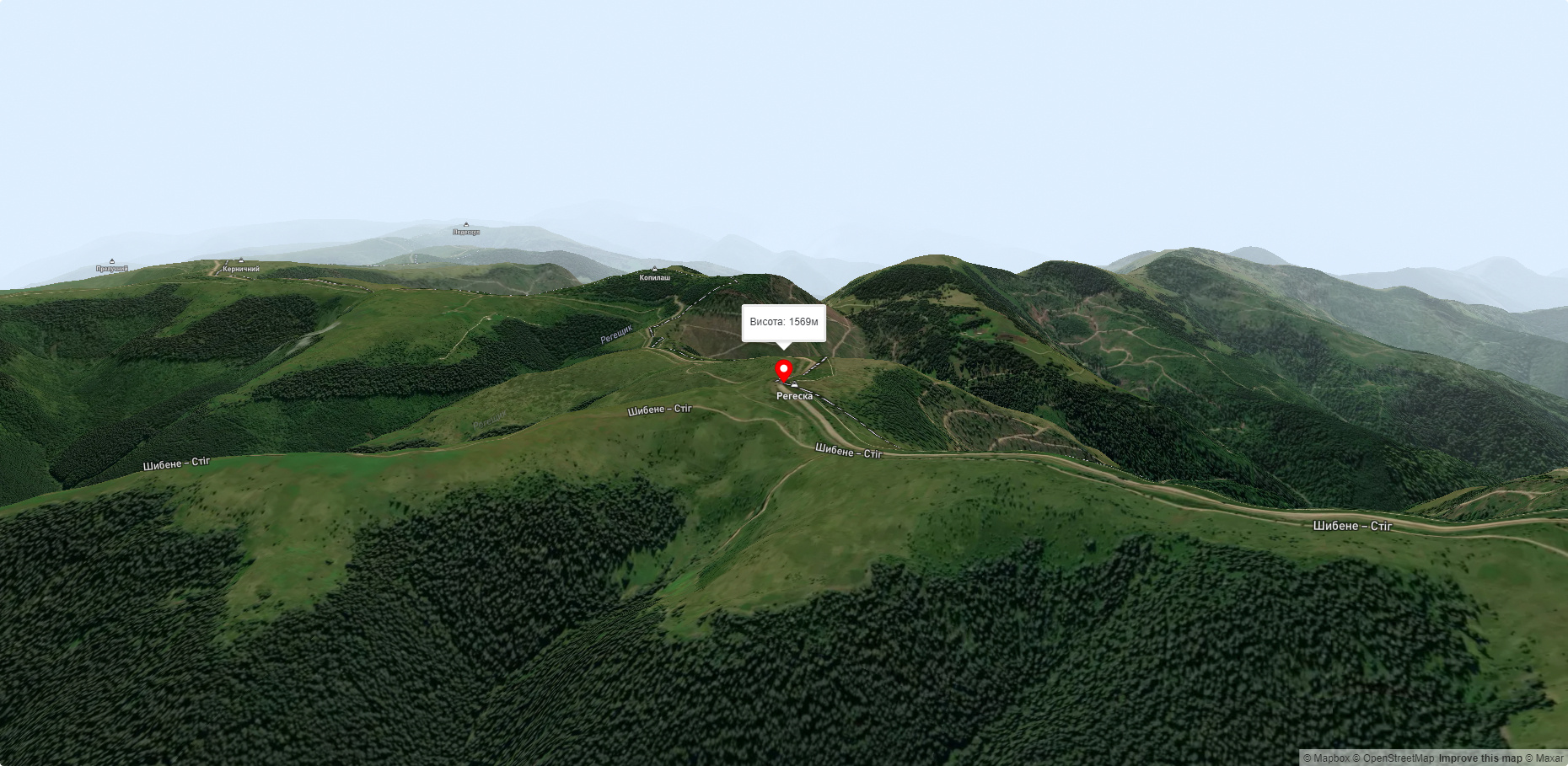
Regeska is a 1569-meter (according to other sources, 1584-meter) peak in the Ukrainian Carpathians, which is located in the Marmarosh mountain range - the Chyvchyn Mountains (northwestern part of the main ridge).
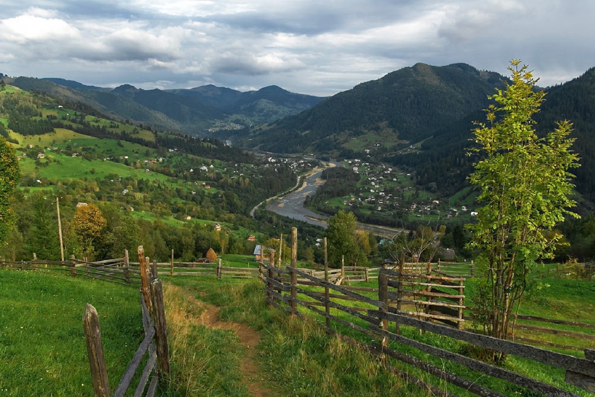
The mountain is located in the Verkhovyna district of Ivano-Frankivsk region, southwest of the village of Zelene.
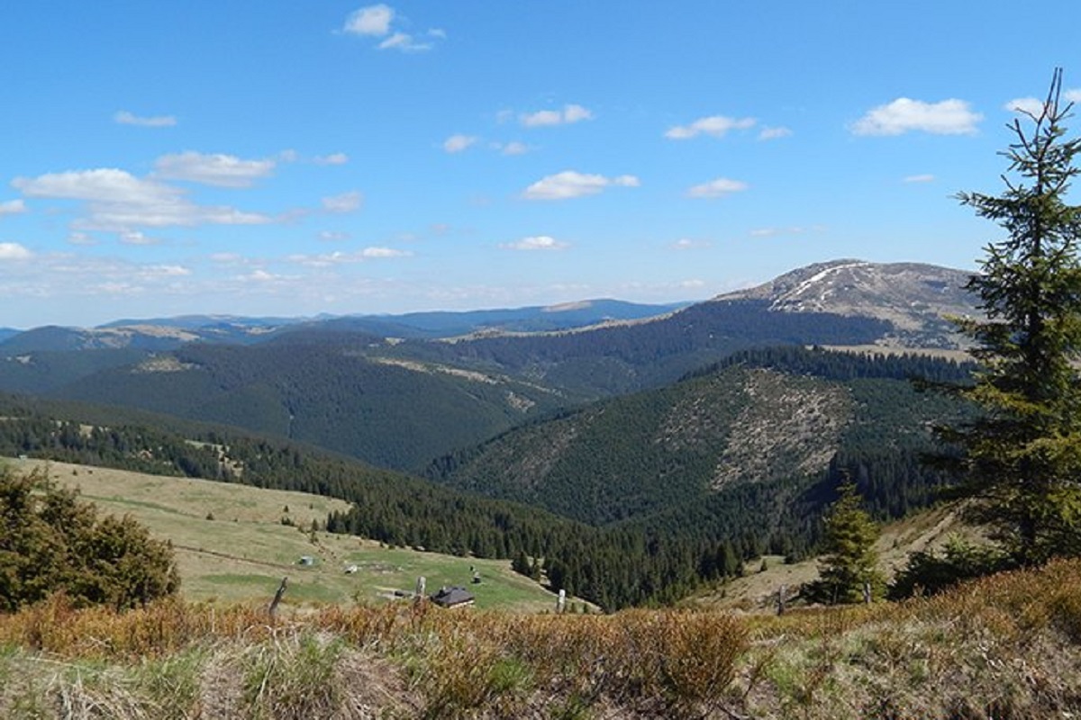
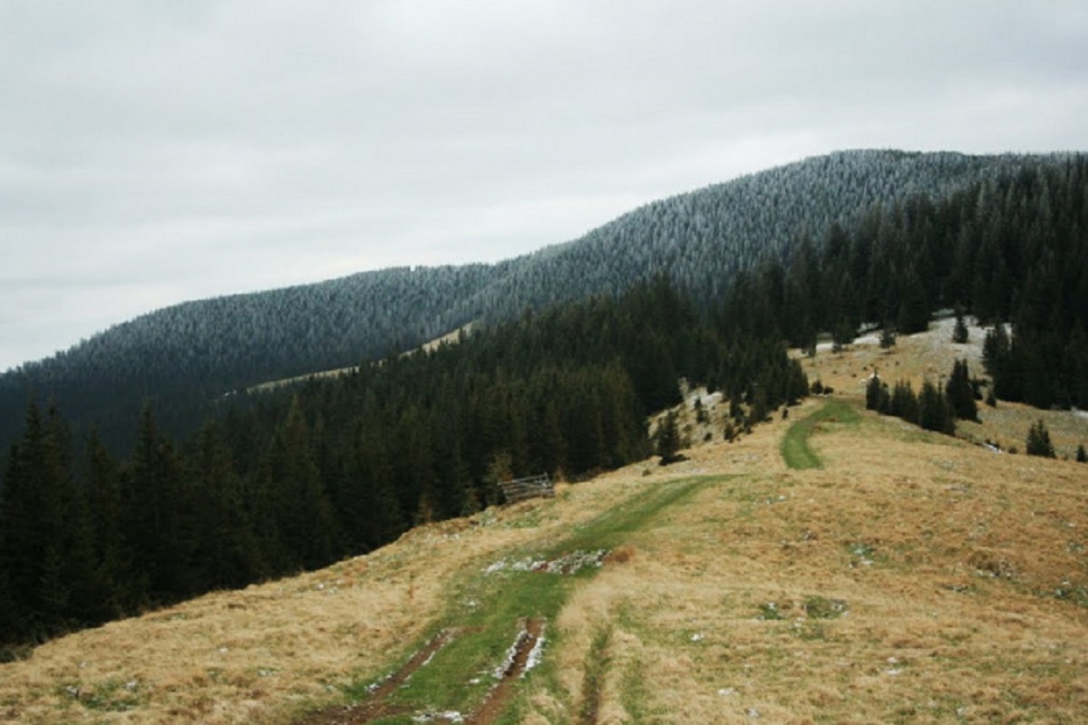
The peak of Mount Regeska is unforested, the slopes are quite steep and difficult to access (especially in the east and west directions); the northeastern slopes smoothly turn into a bridge leading to Mount Velyka Regeska, which is about 1502 meters high.
To the north of Regeska is Mount Stig, and to the southeast is Mount Kopylash.
The state border between Ukraine and Romania passes through the top of the mountain from northwest to south.
The nearest settlement is the village of Zelene (Verkhovyna district, Ivano-Frankivsk region).
Accommodation around Mount Regeska:


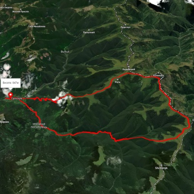
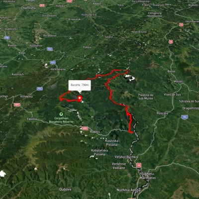
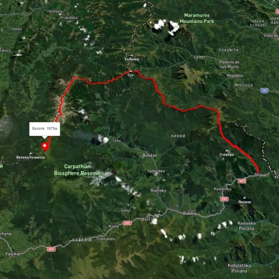
Nearby hiking trails near Mount Regeska:
Які маршрути проходять повз Mount Regeska?
Пропонуємо пройти такі туристичні (пішохідні) маршрути через/біля Mount Regeska: с. Шибене, через г. Стіг, г. Регеска,г. Копилаш до с. Шибене, с. Ділове, через г. Піп Іван Мармароськй, г. Чивчин, с. Шибене, г. Піп Іван Чорногірський, г. Говерла до с. Говерла, с. Ділове, через г. Піп Іван Мармароський, г. Міка-Маре, г. Піп Іван Чорногірський до г. Говерла, с. Ділове, через г. Піп Іван Мармароський, г. Піп Іван Чорногірський, г. Говерла, г. Петрос до смт. Ясіня, г. Піп Іван Чорногірський, через г. Стіг, г. Мала Ненєска до г. Піп Іван Мармароський, с. Ділове, через г. Піп Іван Мармароський, г. Піп Іван Чорногірський, г. Говерла, г. Кукул до смт. Ворохта