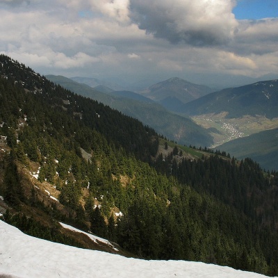
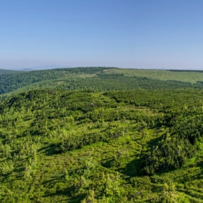
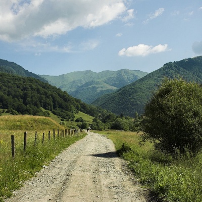
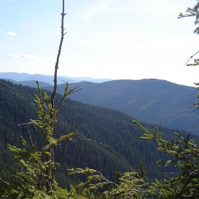
Peaks
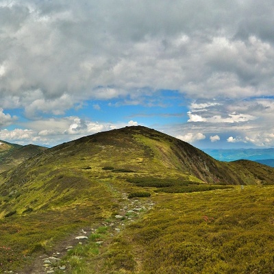
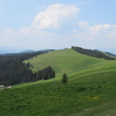
Mount Danzig
Hiking route to Mount Dantsizh, Ivano-Frankivsk region, Ukraine. Переглянути на карті
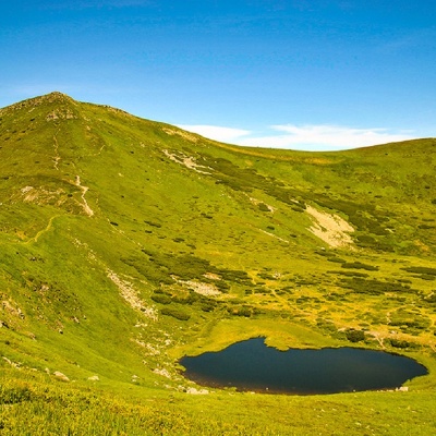
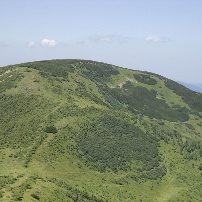
Mount Gutin Tomnatik
Hiking route to the mountain Hutyn Tomnatyk, Transcarpathian region, Ukraine. Переглянути на карті
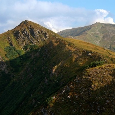
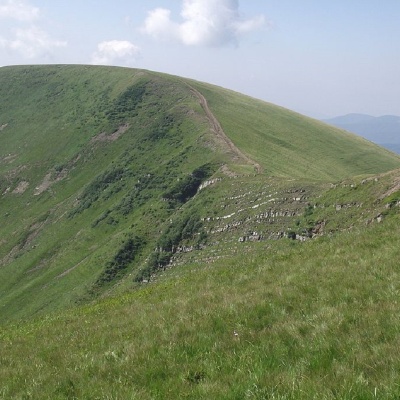
Mount Dzembronya
Hiking route to Dzembronia mountain, Ivano-Frankivsk region, Ukraine. Переглянути на карті
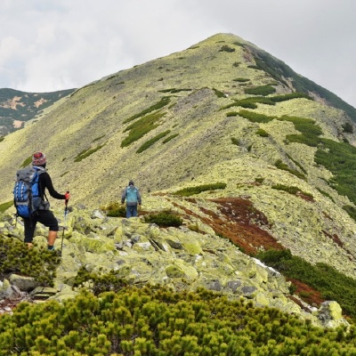
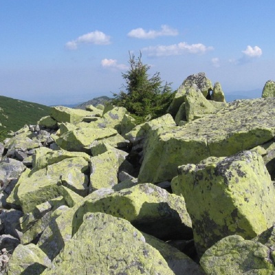
Dovbushanka Mountain
Hiking route to Dovbushanka mountain, Ivano-Frankivsk region, Ukraine. Переглянути на карті
Mount Dovha
Polianytsia, Yaremche City Council, Ivano-Frankivsk Oblast, Ukraine. Переглянути на карті
Mount Durnia
Hiking route to Mount Durnia, Transcarpathian region, Ukraine. Переглянути на карті
Mount Dogyaska
Hiking route to Mount Dogyaska, Transcarpathian region, Ukraine. Переглянути на карті
Mount Igrovets
Hiking route to Mount Igrovets, Ivano-Frankivsk region, Ukraine. Переглянути на карті
Kamyanka Mountain
Tourist route to Kamyanka, Zakarpattia region, Ukraine. Переглянути на карті
Mount Komanova
Hiking route to Mount Komanova, Ivano-Frankivsk region, Ukraine. Переглянути на карті
Mount Koman
Hiking route to Mount Koman, Ivano-Frankivsk region, Ukraine. Переглянути на карті
Mount End of Gorgan
Osmoloda, Ivano-Frankivsk region, Ukraine. Переглянути на карті
Mount Kin Grofetsky
Hiking route to the mountain Horse Grofetskyi, Osmoloda, Ivano-Frankivsk region, Ukraine. Переглянути на карті
Mount Boyarin (Korotkan)
Hiking route to Mount Boyarin, Ivano-Frankivsk region, Ukraine. Переглянути на карті
Mount Lyutyanskaya Golitsa
Hiking route to the Lyutyanska Holytsia mountain, Transcarpathian region, Ukraine. Переглянути на карті
Mount Bolshoi Kotel
Hiking route to the mountain Velykyi Kotel, Zakarpattia region, Ukraine. Переглянути на карті
Mount Lostun
Hiking route to Mount Lostun, Ivano-Frankivsk region, Ukraine. Переглянути на карті
Mount Lopushnaya
Tourist route to Lopushna mountain, Osmoloda, Ivano-Frankivsk region, Ukraine. Переглянути на карті
Mount Makovitsa
Tourist route to Makovytsia, Zakarpattia region, Ukraine. Переглянути на карті
Mount Zhid-Magura
Hiking route to Zhyd-Magura mountain, Zakarpattia region, Ukraine. Переглянути на карті
Mount Mala Kurtiaska
Hiking route to the mountain Mala Kurtiaska, Transcarpathian region, Ukraine. Переглянути на карті
Mount Mala Popadia
Hiking route to the mountain Mala Popadia, Osmoloda, Ivano-Frankivsk region, Ukraine. Переглянути на карті
Mount Mala Sivulya
Hiking route to the mountain Mala Syvulya, Ivano-Frankivsk region, Ukraine. Переглянути на карті
Mount Maly Gorgan
Hiking route to the mountain Malyi Horhan, Ivano-Frankivsk region, Ukraine. Переглянути на карті
Mount Manchul
Tourist route to Manchul mountain, Zakarpattia region, Ukraine. Переглянути на карті
Mount Menchul
Hiking route to Mount Menchul, Ivano-Frankivsk region, Ukraine. Переглянути на карті
Mount Mica Mare
Hiking route to Mika Mare mountain, Zakarpattia region, Ukraine. Переглянути на карті
Mount Moloda
Hiking route to Mount Moloda, Osmoloda, Ivano-Frankivsk region, Ukraine. Переглянути на карті
Mount Negrovets
Hiking route to Mount Negrovets, Transcarpathian region, Ukraine. Переглянути на карті
Ozerna Mountain
Tourist route to Ozerna mountain, Transcarpathian region, Ukraine, 90040. Переглянути на карті