Peaks
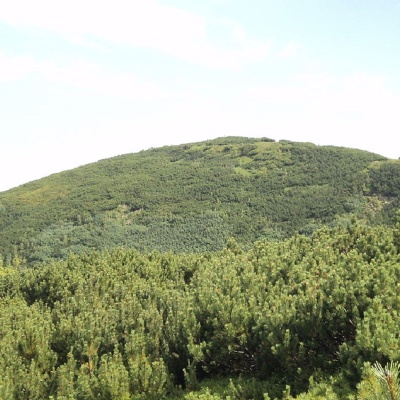
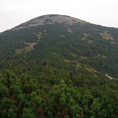
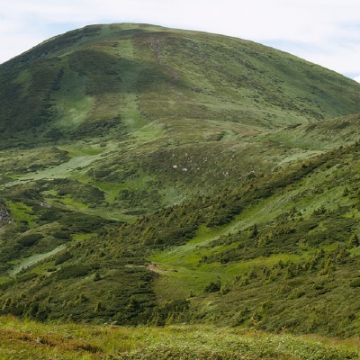
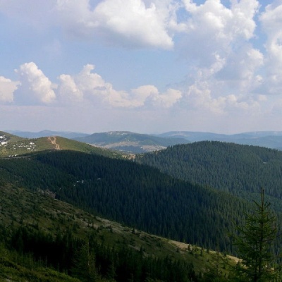
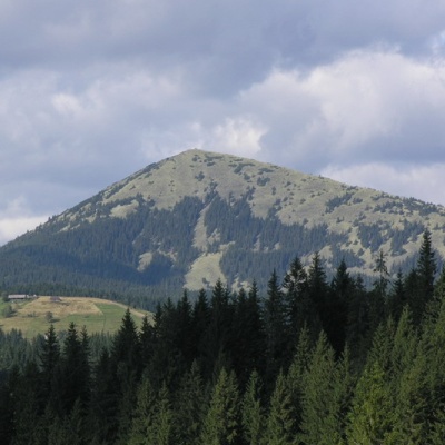
Black Kleva Mountain
Hiking route to the mountain Chorna Kleva, Transcarpathian region, Ukraine. Переглянути на карті
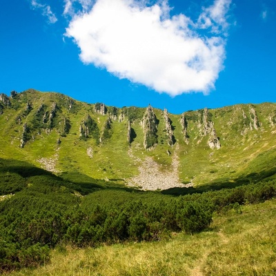
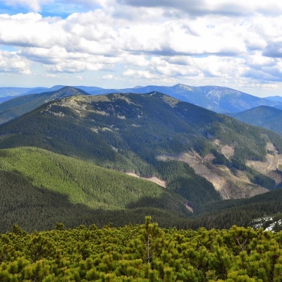
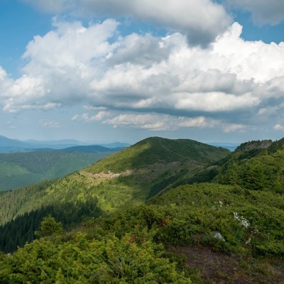
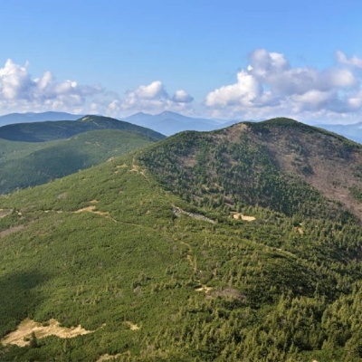
Mount Shpytsi
Hiking route to Mount Shpytsi, Ivano-Frankivsk region, Ukraine. Переглянути на карті
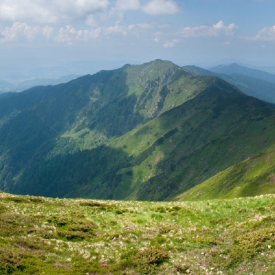
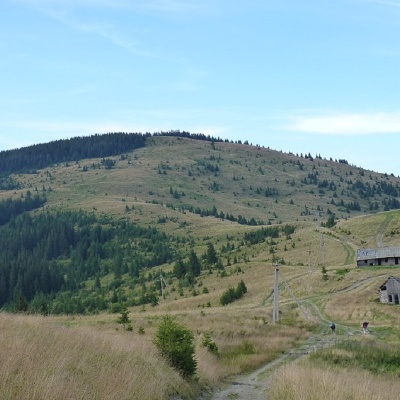
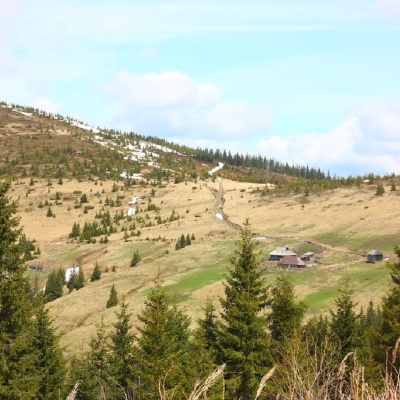
Mount Zherban
Hiking route to Mount Zherban, Transcarpathian region, Ukraine. Переглянути на карті
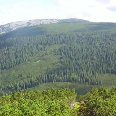
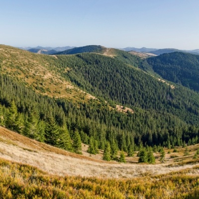
Mount Yavirnyk
Tourist route of the ang. Yavirnyk, Transcarpathian region, Ukraine. Переглянути на карті
Mount Yayko-Ilemske
Hiking route to the mountain Yayko-Ilemske, Ivano-Frankivsk region, Ukraine. Переглянути на карті
Parenki Mountain
Hiking route to Parenky mountain, Osmoloda, Ivano-Frankivsk region, Ukraine. Переглянути на карті
Mount Yarovytsia
Hiking route to Mount Yarovytsia, Chernivtsi region, Ukraine, 59133. Переглянути на карті
Mount Koretvina
Osmoloda, Ivano-Frankivsk region, Ukraine. Переглянути на карті
Mount Breskul
Bystrets, Ivano-Frankivsk region, Ukraine. Переглянути на карті
Mount Mala Nenieska
Bohdan, Zakarpattia region, Ukraine. Переглянути на карті
Mount Petrosul
Yasinya, Zakarpattia region, Ukraine. Переглянути на карті
Mount Steavul
Bohdan, Zakarpattia region, Ukraine. Переглянути на карті
Mount Palenica
Nizhniy Yalovets, Chernivtsi region, Ukraine. Переглянути на карті
Mount Pryluchna
Nizhniy Yalovets, Chernivtsi region, Ukraine. Переглянути на карті
Mount Pidpula
Ust-Chorna, Transcarpathian region, Ukraine. Переглянути на карті
Mount Negrova
Stara Huta, Ivano-Frankivsk region, Ukraine. Переглянути на карті
Mount Pogrebina
Burkut, Ivano-Frankivsk region, Ukraine. Переглянути на карті
Mount Yayko-Pereginske
Osmoloda, Ivano-Frankivsk region, Ukraine. Переглянути на карті
Mount Pnivier
Hramotne, Ivano-Frankivsk region, Ukraine. Переглянути на карті
Mount Baba Ludovaya
Probiynivka, Ivano-Frankivsk region, Ukraine. Переглянути на карті
Mount Masny Prislip
Probiynivka, Ivano-Frankivsk region, Ukraine. Переглянути на карті
Berlyaska Mountain
Lopukhiv, Transcarpathian region, Ukraine. Переглянути на карті
Mount Lisniv
Tatariv, Ivano-Frankivsk region, Ukraine. Переглянути на карті
Mount Horde
Tatariv, Ivano-Frankivsk region, Ukraine. Переглянути на карті
Mount Rotilo
Volova, Ivano-Frankivsk region, Ukraine. Переглянути на карті
Mount Kremenets
Stuzhytsia, Zakarpattia region, Ukraine. Переглянути на карті
Mount Klyuch
Kamianka, Lviv region, Ukraine. Переглянути на карті
Mikhalkova Mountain (Kosiv)
Kosiv, Ivano-Frankivsk region, Ukraine. Переглянути на карті
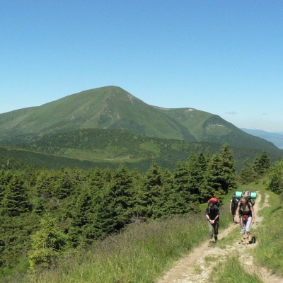
Mount Khomiak
Hiking route to Mount Khomyak, Ivano-Frankivsk region, Ukraine. Переглянути на карті
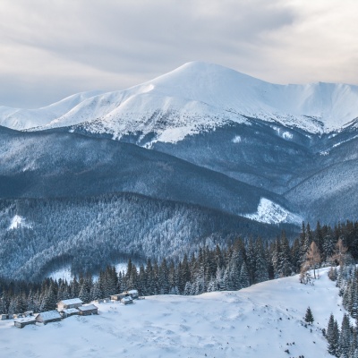
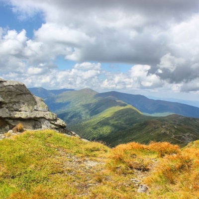
Mount Hoverla
Ecological and educational trail "On Mt. Hoverla", Ivano-Frankivsk region, Ukraine. Переглянути на карті