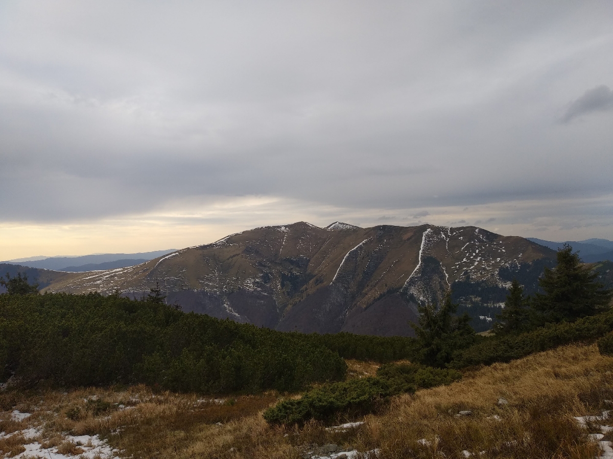
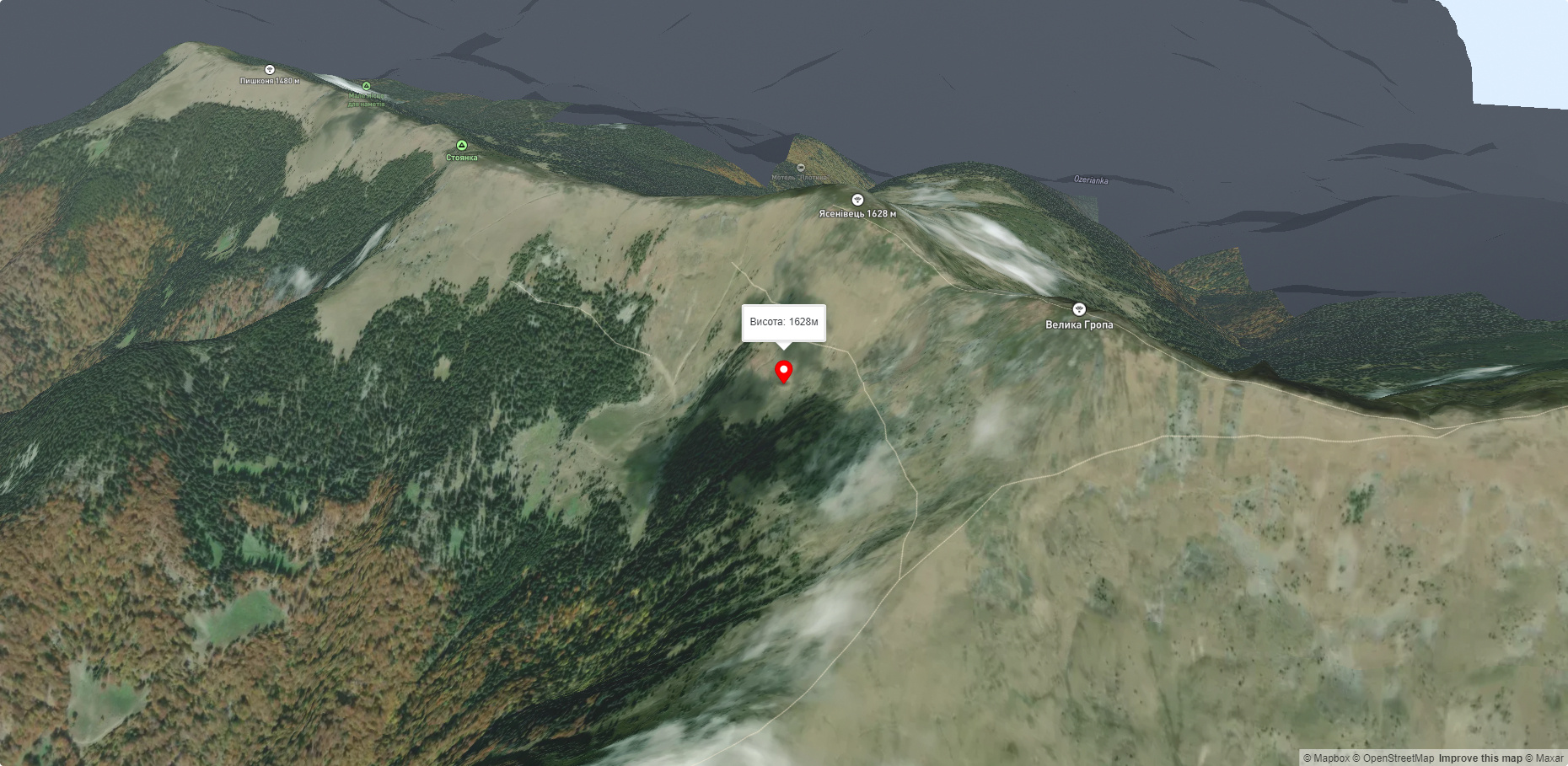
Mount Yasenovets
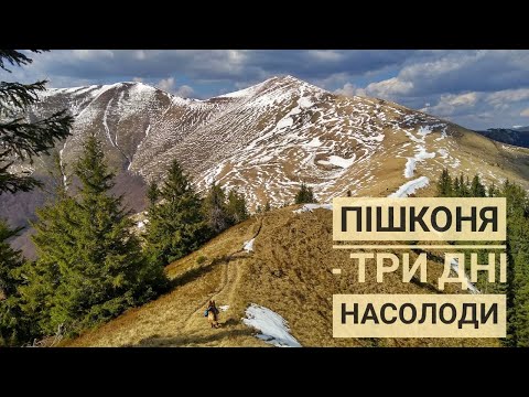
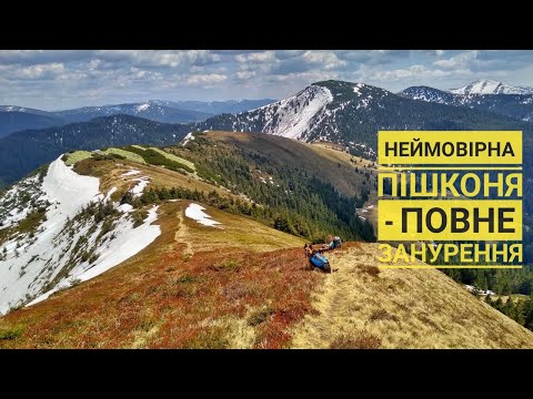
The Pishkonya Ridge stretches from the Synevyr Pass to the southeast, making a southward arc at the end and ending in the village of Kolochava. The highest mountain is called Negrovets, and it rises 1709 meters above sea level. The ridge can be conditionally divided into two sections - marked: Pishkonya, Mala Hropa, Yasnovets, Velyka Hropa, Negrovets, Hrob, Barvinok, and unmarked: the same Horb, unnamed (1441), Yasnovets, unnamed (1564), Darvaika, unnamed (1400).
The nearest settlements are: Synevyr (1.6 km), Horb (4.7 km), Negrovets (5.3 km).
Routes here.
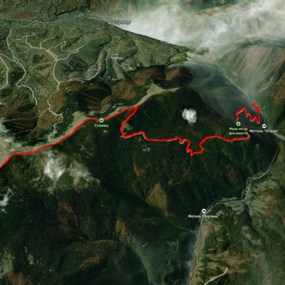
1. Kolochava village - Mount Strymba - Sukhar River - Mount Yasnovets - Mount Horb - Mount Negrovets - Mount Velyka Gropa - Mount Yasenovets - Mount Chertizh - Synevyr village. Duration: 2 days. Route length: 35 km, altitude difference - 1159 m. The route starts in the village of Kolochava and goes up to Mt. Strymba (1719 m), then passes along the typical mountain river Sukhar with a fast flow, rocky bottom and narrow valley, then passes along the steep slopes of the Yasnovets Mountains (1600.2 m; according to other sources - 1605 m), Horb (1687 m) and Negrovets (1707.3 m, according to other sources - 1712 m); then it runs through the mountains Velyka Gropa (1667 m), Yasenovets (1628 m), Chertizh (812 m) to the village of Synevyr.
2. Kolochava village - Horb village - Mount Barvinok - Mount Horb - Mount Negrovets - Mount Velyka Gropa - Mount Yasenovets - Pishkonya ridge - Yavorinka tract. Duration: 1 day. Route length: 15 km, altitude difference - 1147 m. The route starts in the village of Kolochava, then goes past the village of Horb to the mountains Barvinok (1461 m), Horb (1687 m) and Negrovets (1707.3 m, according to other sources - 1712 m); then runs through the mountains Velyka Gropa (1667 m), Yasenovets (1628 m) to the Pishkonya ridge and Yavorinka tract.
Accommodation around Mount Yasenovets:


Nearby hiking trails near Mount Yasenovets:
Які маршрути проходять повз Mount Yasenovets?
Пропонуємо пройти такі туристичні (пішохідні) маршрути через/біля Mount Yasenovets: с. Синевир – г. Негровець, Закарпатський туристичний шлях, с. Синевир, через г. Негровець, с. Мерешор, хр. Красна, с. Усть Чорна, хр. Свидовець до с. Кваси, с. Синевир, через г. Негровець до с. Колочава, г. Негровець – с. Синевир, с. Колочава, через г. Дарвайка, г. Негровець до с. Колочава