Wild garlic (ramsons)
For information only, not medical advice. Do not self-medicate — consult a doctor. Many Carpathian medicinal plants are protected and must not be collected.
About
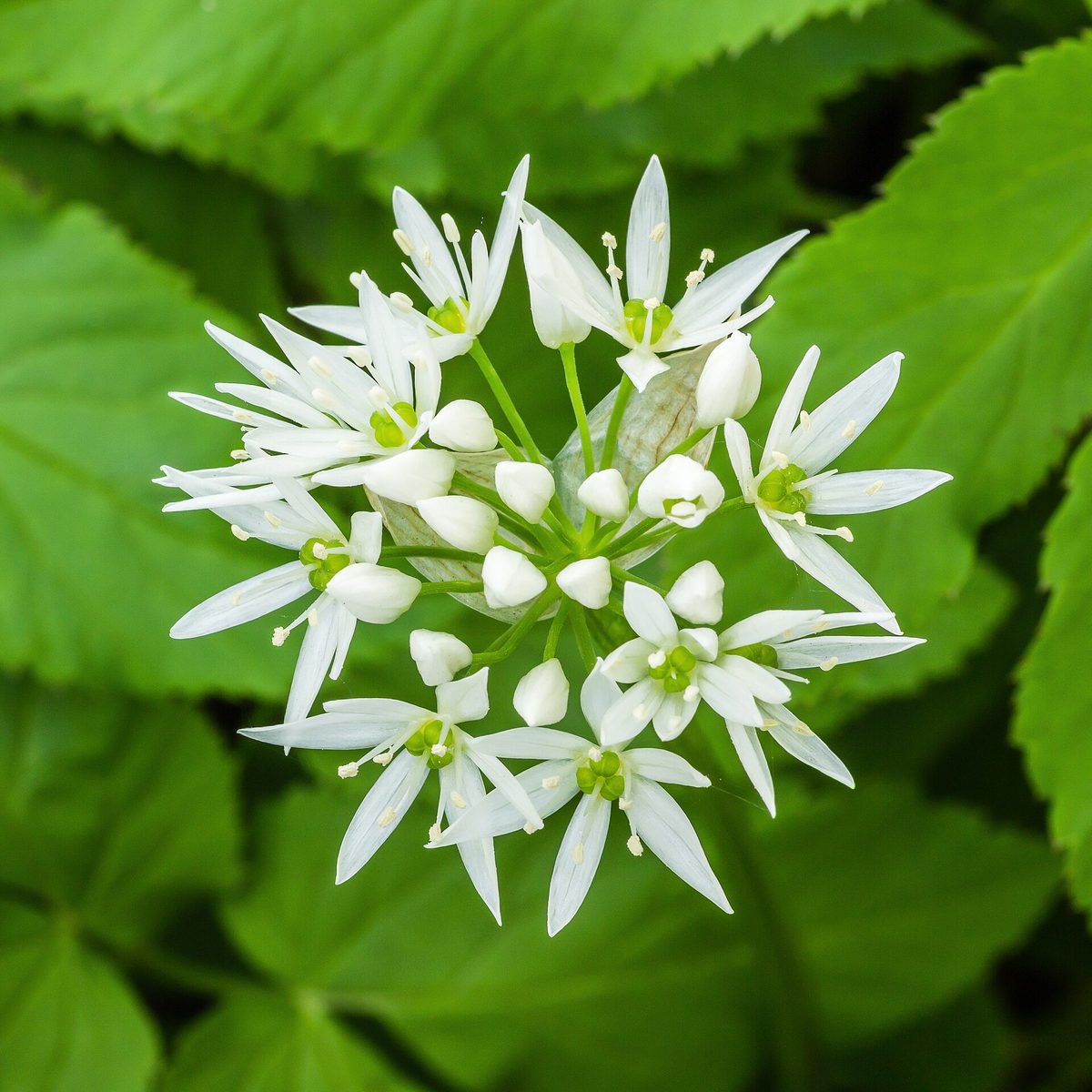
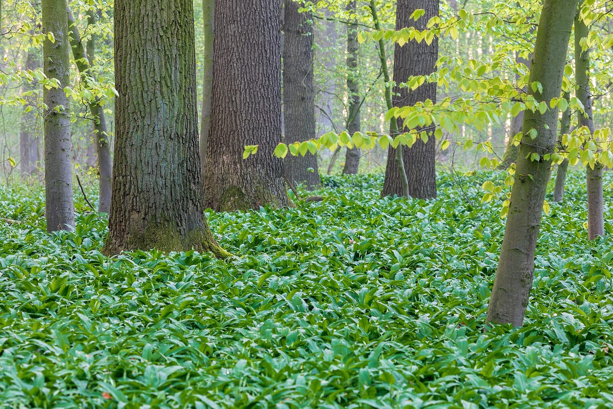
Bear's garlic, known to all as ramsons, is a perennial bulbous plant of moist shady forests. It appears in early spring, before the trees leaf out, and in the Carpathian deciduous forests, particularly in beech forests, it sometimes covers the ground with a solid green carpet. In Ukraine, the species also grows in Polissia, in the Forest-Steppe, and in the eastern steppe zone.
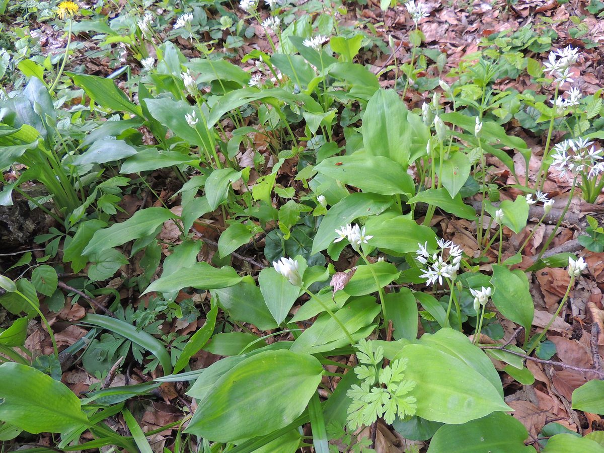
From an elongated bulb, mostly two, less often one or three leaves grow. Each leaf is flat, elliptically lanceolate, 3–5 cm wide, thin and soft, and suddenly narrows at the base into a long petiole. The flowering stem is 15–40 cm tall, three-angled, and leafless. It blooms in spring: at the top of the stem, a round umbrella of white star-shaped flowers opens. The entire plant smells of garlic.
Young leaves have long been eaten as spring greens, but wild plants are becoming increasingly rare due to mass harvesting, drainage, and deforestation. Therefore, bear's garlic is listed in the Red Data Book of Ukraine (status 'not evaluated'), and collecting it in the wild is prohibited. In Poland, it is also under partial protection.
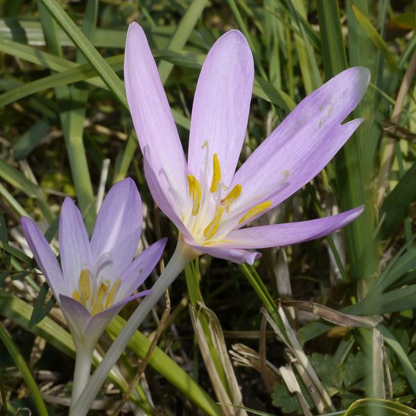
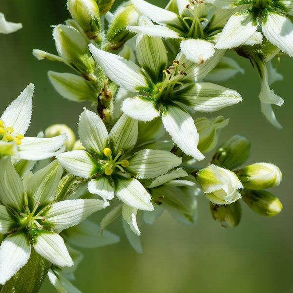
The main danger comes from deadly poisonous lookalikes that grow in the same places. Lily of the valley has denser leaves that emerge in pairs from a single brown sheath, wrapping around each other. Autumn crocus in spring looks like a bunch of three to four dense shiny leaves without petioles, with a green capsule hidden inside. White hellebore has alternate leaves on the stem, folded along the veins, and hairy underneath. The garlic smell after rubbing is only a hint, not proof: the smell remains on the fingers and 'transfers' to the next leaf. If you are not sure about each leaf, do not collect anything.
Where in the Carpathians

The map shows where naturalists recorded the species (GBIF, CC0 and CC BY records), not every place it lives. The Ukrainian Carpathians are less studied, so a blank area does not mean the species is absent.
- Countries
- Slovakia · Czechia · Ukraine · Poland · Austria · Romania · Hungary
- Mountain ranges
- Greater Fatra, Strážov Mountains, Lesser Fatra, Little Carpathians, White Carpathians, Moravian-Silesian Beskids, Bieszczady, Maramureș Mountains, Low Tatras, Pokuttia-Bukovina Carpathians
- Altitude belts
- Foothills (below 600 m) · Beech forests (600–1200 m)
When to see it
| Jan | Feb | Mar | Apr | May | Jun | Jul | Aug | Sep | Oct | Nov | Dec | |
|---|---|---|---|---|---|---|---|---|---|---|---|---|
| Flowering | ||||||||||||
| Fruit |
From naturalists’ observations in the Carpathians (iNaturalist, research grade): the darker the cell, the more often the species is seen that month.
Safety
Listed in the Red Data Book of Ukraine: collecting in the wild is prohibited. Deadly poisonous lookalikes — lily of the valley, autumn crocus, and white hellebore — grow in the same places; the garlic smell on your fingers does not guarantee that the next leaf is safe. In case of suspected poisoning, call 103 (or 112).
Look-alikes — how to tell them apart
Usually two denser leaves emerge together from one brown sheath and wrap around each other, there are no separate petioles; no garlic smell; flowers are white bells in a one-sided raceme.
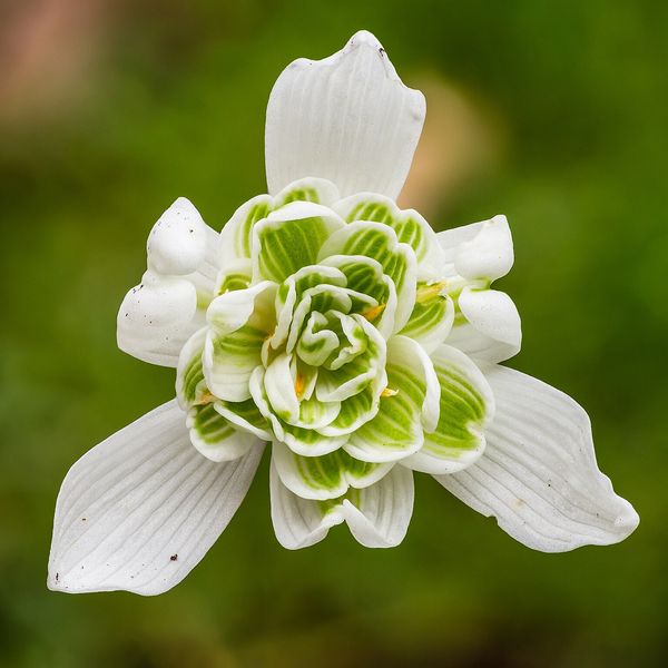
In spring — a bunch of three to four wide dense shiny leaves without petioles, inside a green capsule with seeds; no garlic smell. Blooms in autumn with pink-purple flowers without leaves.
Leaves sit alternately on a straight stem, wide, folded along the arc veins, and hairy underneath; mainly grows in polonynas and meadows; no garlic smell.
Unfurled leaves are lanceolate, with an uneven edge and a dense network of veins, often with dark spots; no garlic smell.
In folk tradition
Young leaves are traditionally eaten in spring as greens and seasoning for dishes.
Protection and rules
Listed in the Red Data Book of Ukraine (not evaluated). Collecting and digging in the wild is prohibited. In Poland — under partial protection.
Admire, don’t pick: plants listed in the Red Data Book of Ukraine — and any plants in nature reserves and strictly protected zones of national parks — must not be collected.
FAQ
Can ramsons be collected in the Carpathians?
No. Bear's garlic (ramsons) is listed in the Red Data Book of Ukraine with the status 'not evaluated', so collecting it in the wild is prohibited.
How to distinguish ramsons from lily of the valley?
In ramsons, each leaf has its own long petiole, thin and soft, and smells of garlic. In lily of the valley, two denser leaves emerge from one sheath and wrap around each other, there is no garlic smell. However, the smell on your fingers can be misleading, so do not collect anything without complete confidence.
What plants are similar to ramsons?
Deadly poisonous lily of the valley, autumn crocus, and white hellebore, as well as the poisonous spotted arum. All of them grow in moist forests and meadows alongside ramsons.
Similar species
Where to meet it
Trails
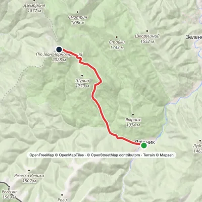 ModerateOne-dayMarkedShybene village to Mount Pip Ivan Chornohirskyivia Vesnarka polonynaElevation profile854–2 028 m10.6 kmascent 1 205 m≈ 5 h walking
 EasyOne-dayBilasovytsia village Mount PikuiElevation profile594–1 334 m5.3 kmascent 779 m≈ 3 h walking
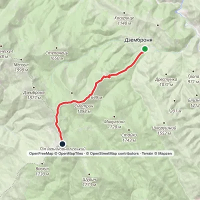 ModerateOne-dayMarkedDzembronia village loopvia Mount Smotrych, Mount Pip Ivan Chornohirskyi +1Elevation profile820–2 028 m9.2 kmascent 1 342 m≈ 5 h walking
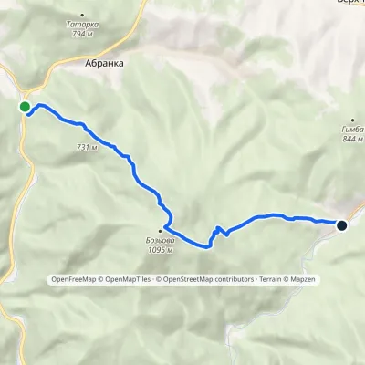 ModerateOne-dayMarkedAbranka village Yablunivvia Mount BozovaElevation profile353–1 084 m9.1 kmascent 793 m≈ 4 h walking
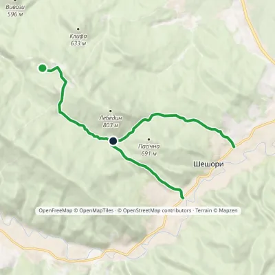 EasyOne-dayMarkedNature trail «To Lake Lebedyn»Elevation profile414–706 m9.2 kmascent 265 m≈ 3 h walking
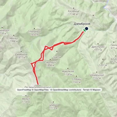 HardTwo-dayMarkedDzembronia village loopvia Mount Pip Ivan ChornohirskyiElevation profile815–2 028 m19.1 kmascent 1 366 m≈ 7.5 h walking
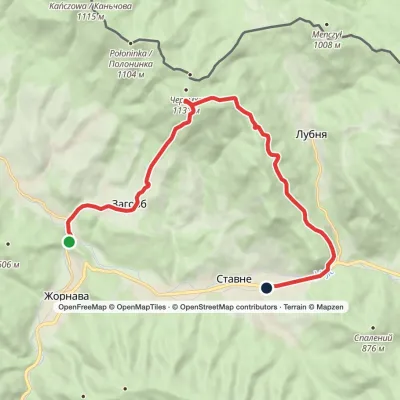 ModerateTwo-dayZahorb village to Stavne villagevia Mount CheremkhaElevation profile342–1 132 m14.7 kmascent 798 m≈ 5.5 h walking
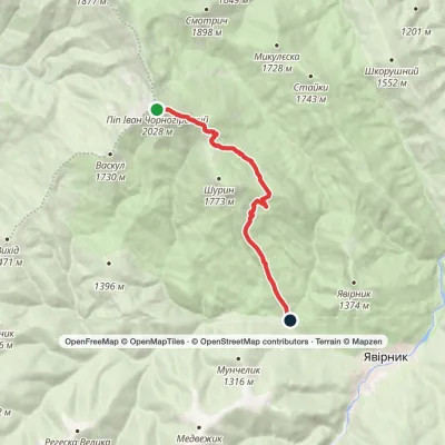 EasyOne-dayMarkedMount Pip Ivan Chornohirskyi to Shybene villagevia Vesnarka polonynaElevation profile908–2 028 m8.9 kmascent 61 m≈ 2.5 h walking
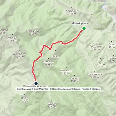 ModerateOne-dayMarkedDzembronia village Mount Pip Ivan ChornohirskyiElevation profile818–2 028 m10.4 kmascent 1 308 m≈ 5 h walking
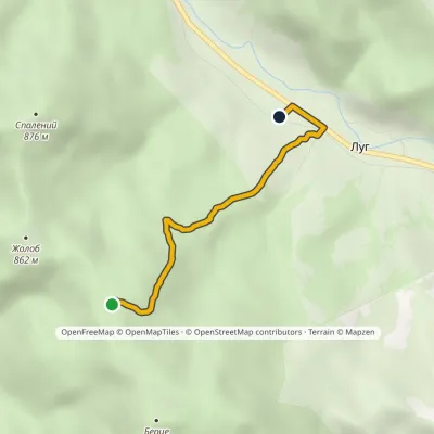 EasyOne-dayMarkedLiuta (monastery) LuhElevation profile440–862 m3.4 kmascent 7 m≈ 45 min walking
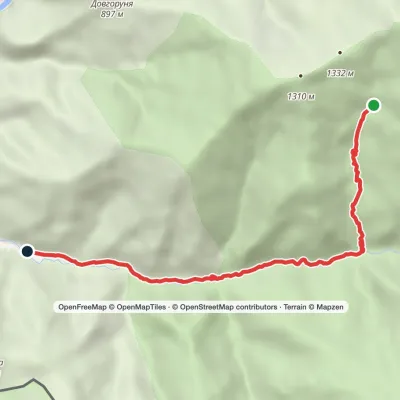 EasyOne-dayMarkedYalynskyi Waterfall Dilove villageElevation profile393–1 030 m8.2 kmascent 7 m≈ 2 h walking
 HardTwo-dayMarkedDzembronia village to Shybene villagevia Mount Pip Ivan Chornohirskyi, Vesnarka polonynaElevation profile854–2 028 m19.9 kmascent 1 304 m≈ 7.5 h walking
Peaks and meadows
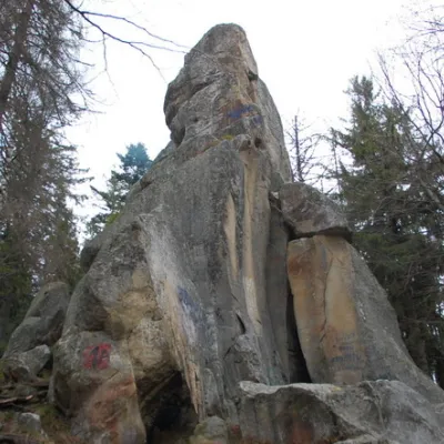 PeakWhite Stone RockDoraaltitude 538 m7 trails to the topThe White Stone Rock is located in the village of Dora in the Carpathians and is one of the most prominent natural...
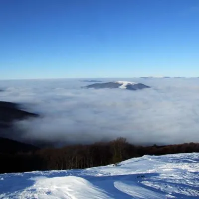 PeakBozeva MountainAbrankaaltitude 1 095 m3 trails to the topIt is said that there was an observation post on the mountain, and the place is really suitable, because you can see...
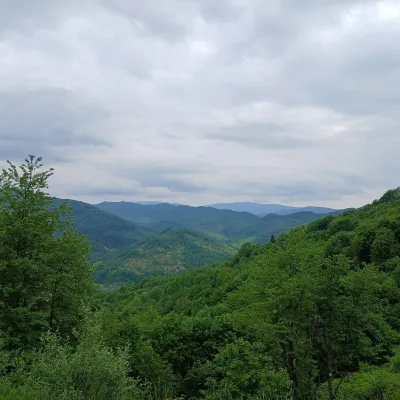 PeakMount OpolonekUzhokaltitude 1 028 mOpolonek (also Opolonyk) is a 1,028 m mountain in the Bieszczady, part of the Eastern Beskids.
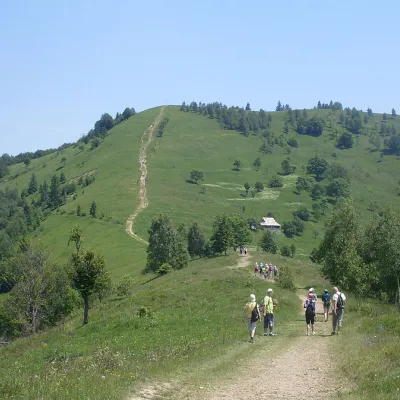 Mountain meadowMount Makovytsia, YaremcheYaremchealtitude 984 m · Gorgany range7 trails to the topMakovytsia (984 m) is a mountain of the Gorgany range on the eastern edge of Yaremche, in the Carpathian National...
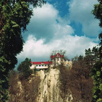 PeakCastle Hill (City)Kosivaltitude 450 mThe top offers a panoramic view of the city. The mountain is home to unique black alpine pines, as well as deciduous...
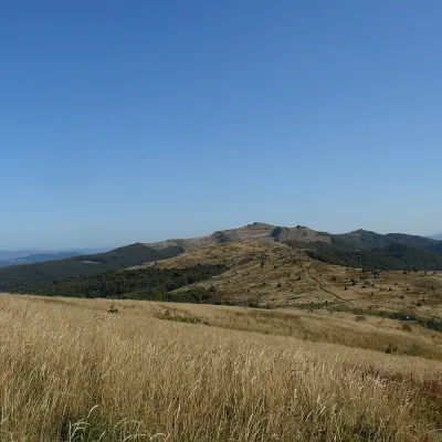 PeakMount Kinchyk BukovskyiVolosiankaaltitude 1 251 mKinchyk Bukovskyi (Polish: Kińczyk Bukowski) is a 1,251 m summit in the Bieszczady, right on the state border between...
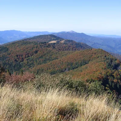 PeakMount KudriavetsHrebenivaltitude 1 242 m · Skole Beskids range1 trail to the topKudriavets is a 1,242 m summit on the Zelemianka ridge in the Skole Beskids, Lviv Oblast.
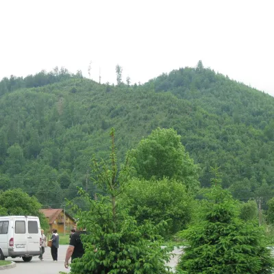 PeakMount ZeleminHrebenivaltitude 1 177 m · Skole Beskids range1 trail to the topZelemin is a 1,177 m summit in the north-western part of the Zelemianka ridge in the Skole Beskids (Lviv Oblast).
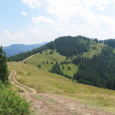 PeakMount LisnivTatarivaltitude 1 257 m · Pokuttia-Bukovyna Carpathians range16 trails to the topMount Lisniv is a 1257-meter peak of the Ukrainian Carpathians, which is located on the territory of the Pokutsko...
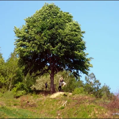 PeakMount KicheraKosivaltitude 567 mThe march to Kichera is an easy walk that all tourists can do. The small length of the march allows you to take your...
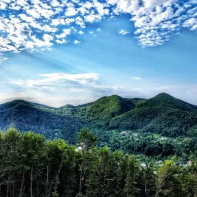 PeakMount Sopka (Stizhky, Zinyakov top).Kosivaltitude 620 m2 trails to the topStizhki (620 meters) offers a panoramic view of the city of Kosiv. The mountain is covered with forests - beech,...
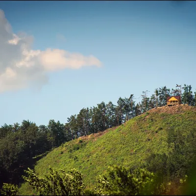 PeakMount Ostry (Ostra)Kosivaltitude 584 m2 trails to the topThe mountain offers wonderful views of the entire Kosiv. The descent is steep, and autumn is magical here.
Waters and waterfalls
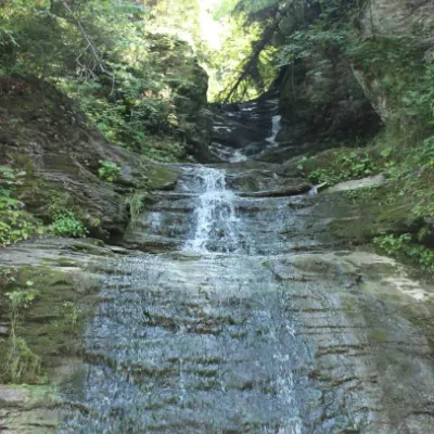 WaterfallSrednyi Huk waterfall (Bukovyna waterfalls)RoztokyThe Srednyi Huk waterfall is one of the Bukovyna waterfalls located in the Chernivtsi region in western Ukraine.
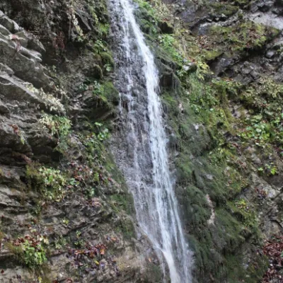 WaterfallSych waterfall (Bukovinian waterfalls)RoztokyThe Sych Waterfall is one of the waterfalls that are part of the Bukovyna Waterfalls, located in the Roztotskyi...
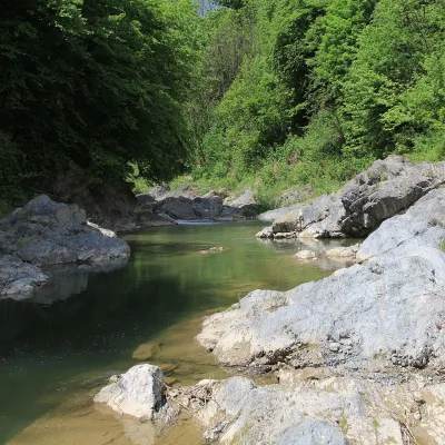 RiverPistynka RiverPistynThe Pistynka is a 56-km mountain tributary of the Prut. It rises on the eastern slopes of Mount Versalem in the...
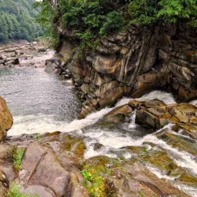 WaterfallProbiy waterfall, YaremcheYaremcheProbiy Waterfall is located in the heart of the Carpathian Mountains, in the city of Yaremche.
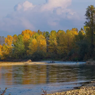 RiverTysa River (Tisza)RakhivThe Tysa (Tisza) is the main river of Zakarpattia. It begins on the north-eastern edge of Rakhiv, where the Chorna...
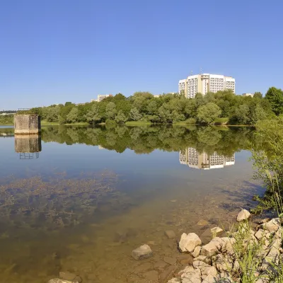 LakeTruskavets ReservoirTruskavetsTruskavets Reservoir, known locally as Lake Solonytsia, lies on the south-eastern edge of Truskavets, next to the...
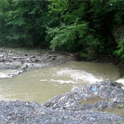 RiverVyzhenka RiverVyzhenkaTheriver Vyzhenka is located in the village of the same name in the Chernivtsi region.
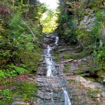 WaterfallBukovinian (Smugar) waterfallsRoztokyA picturesque chain of waterfalls, up to two kilometers long, stretches along the Smuhariv River in Bukovyna, in the...
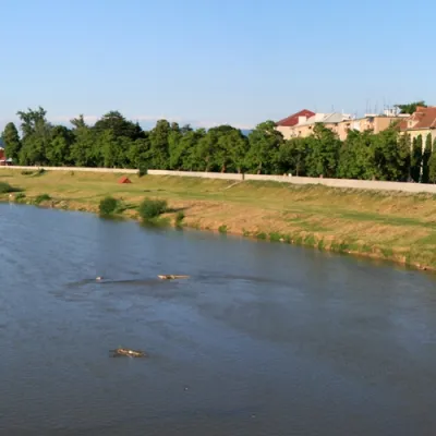 RiverLatorytsiaRoztokaLatorytsia River - Latorytsia and its surroundings are a popular destination for eco-tourism.
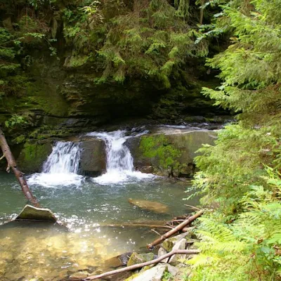 WaterfallWaterfall Maiden's Tears, YaremcheYaremcheMaiden's Tears is a waterfall in the Ukrainian Carpathians (Gorgany massif).
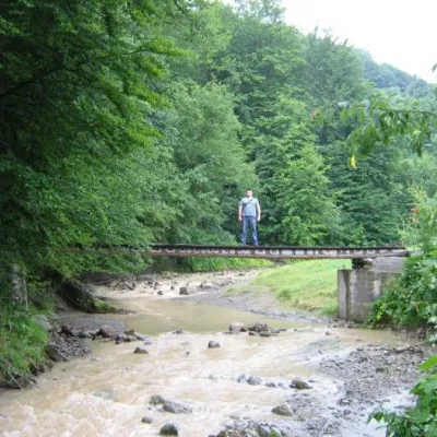 WaterfallMikva waterfallVyzhenkaThe Mykva Waterfall is a small but very picturesque waterfall located in the village of Vyzhenka, Chernivtsi region.
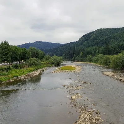 RiverOpir RiverSkoleThe Opir is a 58-km mountain river of the Skole Beskids. It rises on the eastern slope of Mount Velykyi Yavirnyk,...
Mountain ranges: Bieszczady, Maramureș Mountains, Pokuttia-Bukovina Carpathians, Skole Beskids, Chornohora. In other countries: 🇸🇰 Greater Fatra, 🇸🇰 Strážov Mountains, 🇸🇰 Lesser Fatra, 🇸🇰 Little Carpathians, 🇨🇿 White Carpathians, 🇨🇿 Moravian-Silesian Beskids, 🇸🇰 Low Tatras, 🇸🇰 Vihorlat Mountains, 🇵🇱 Low Beskids
Trails and peaks near which naturalists recorded the species (GBIF, iNaturalist), matched by altitude and habitat. Sightings are not guaranteed.
Sources
- Вікіпедія: Часник ведмежий
- Wikipedia (en): Allium ursinum
- Вікіпедія: Конвалія звичайна
- Вікіпедія: Пізньоцвіт осінній
- Вікіпедія: Чемериця біла
- Wikipedia (en): Veratrum album
- Wikipedia (en): Colchicum autumnale
- Наказ Міндовкілля від 15.02.2021 № 111: Перелік видів рослин та грибів, що заносяться до Червоної книги України
- GBIF: список рослин і грибів Червоної книги України за наказом № 111 (з категоріями)
- Rozporządzenie Ministra Środowiska z 9.10.2014 w sprawie ochrony gatunkowej roślin, Dz.U. 2014 poz. 1409 (Польща)
- iNaturalist: Allium ursinum (спостереження в Карпатах)
GBIF · iNaturalist · Wikidata · Distribution data: GBIF.org (CC0 and CC BY records), iNaturalist; names and identifiers: Wikidata (CC0). Text: Karpaty.rocks, checked 09.11.2026.
