Common juniper
Never eat berries you are not sure about and never give unknown berries to children. In case of poisoning call 112 (103 in Ukraine).
About
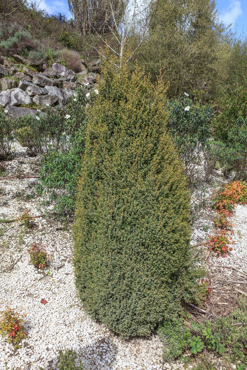
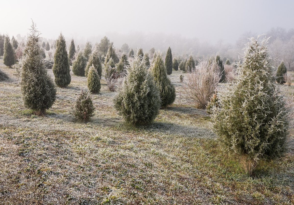
Common juniper is a coniferous shrub or small tree with prickly needles. The needles are 8–20 mm long, arranged in whorls of three, with a whitish band of waxy coating on top. In Ukraine, it grows in the Carpathians, Polissia, and Crimea, in the understory of coniferous and mixed forests, on clearings and pastures. The plant is light-loving, frost-resistant, and undemanding to soils.
There are two forms of this species in the Carpathians. In the lower mountain belt, the common juniper occurs, growing up to several meters tall. In the high mountains, near the upper tree line and above, the low creeping juniper grows, which botanists distinguish as subspecies alpina or as a separate species — Siberian juniper. It hugs the slopes and together with mountain pine forms subalpine krivolissia, particularly on Chornohora, near Petros and Howerla.
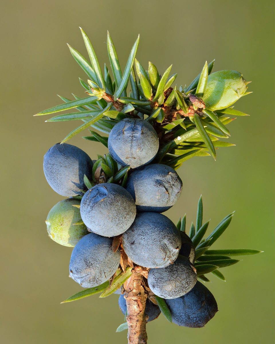
Common juniper is dioecious: some shrubs have only male cones, while others have female ones. It is pollinated in April — May. The 'berries' are actually fleshy cones: they are green at first and ripen only in the second year, turning blue-black with a waxy coating. On one shrub, both green and dark cones can be seen at the same time.
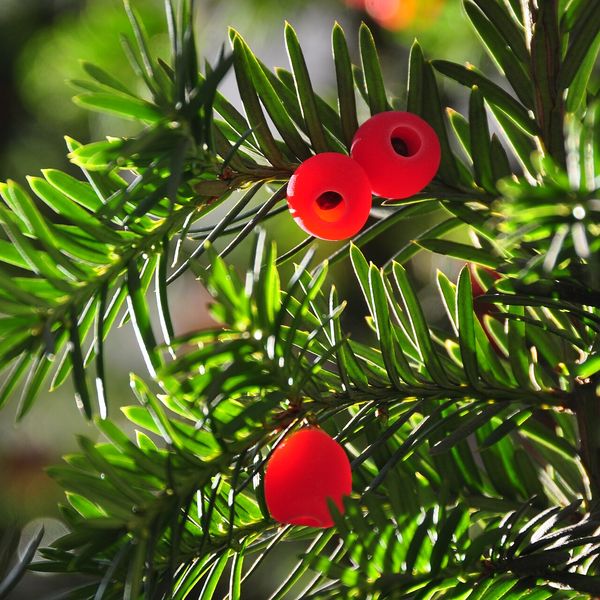
Dried cones have long been used as a spice for meat and to flavor beverages; they are very astringent and bitter, so they are not eaten raw and are added in small amounts. Juniper lives long and grows slowly, so do not break branches or dig up shrubs. Do not confuse it with Taxus baccata, which has soft flat needles and red 'berries' — Taxus is deadly poisonous.
Where in the Carpathians

Teal — the species' natural range within its elevation belt; orange — where naturalists recorded it (GBIF, CC0/CC BY).
Range: Caudullo, Welk & San-Miguel-Ayanz 2017, CC BY 4.0; elevation belt and the countries where it is known — our model (AWS Terrain Tiles)
- Countries
- Ukraine · Slovakia · Czechia · Poland · Romania · Hungary · Austria
- Mountain ranges
- nearly all Carpathian ranges, within its elevation belt
- Altitude belts
- Foothills (below 600 m) · Beech forests (600–1200 m)
When to see it
| Jan | Feb | Mar | Apr | May | Jun | Jul | Aug | Sep | Oct | Nov | Dec | |
|---|---|---|---|---|---|---|---|---|---|---|---|---|
| Sightings |
From naturalists’ observations in the Carpathians (iNaturalist, research grade): the darker the cell, the more often the species is seen that month.
Safety
Dried cones are used only as a spice, in small quantities; they are not eaten raw. Do not confuse juniper with Taxus baccata: Taxus has soft flat needles and red 'berries' and is deadly poisonous.
Look-alikes — how to tell them apart
The needles are soft, flat, dark green, arranged in two rows, not prickly; the seed is in a red fleshy 'cup'. All parts, except for the red shell, are deadly poisonous.
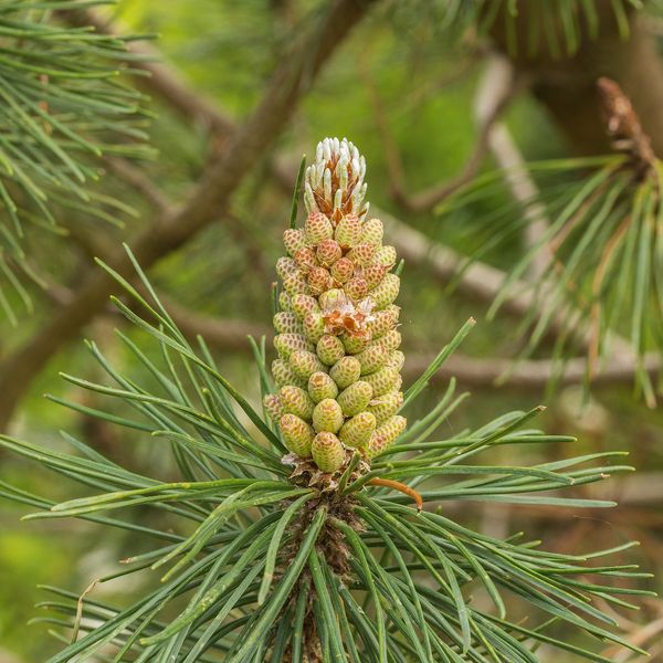
The needles are long, in pairs, not in whorls of three; the cones are woody, brown, without fleshy 'berries'.
In folk tradition
Dried cones are traditionally used as a spice for meat dishes and to flavor beverages.
Protection and rules
Not listed in the Red Book of Ukraine. In reserves and protected areas of national parks, collecting plants is prohibited; do not break or dig up shrubs.
FAQ
Can juniper berries be eaten?
They are not eaten raw: they are astringent and bitter. Dried cones are used as a spice in small quantities.
Why are there both green and black berries on juniper?
The cones ripen only in the second year. Therefore, on one shrub, both last year's dark and this year's green can hang together.
Does juniper grow in the polonynas?
Yes. In the high mountains of the Carpathians, low creeping juniper grows — it is often called Siberian juniper. It is part of the subalpine krivolissia along with mountain pine.
Comments
Travellers’ experience: reports, tips, questions.
No one has written here yet. Be the first — your experience helps others.
Similar species
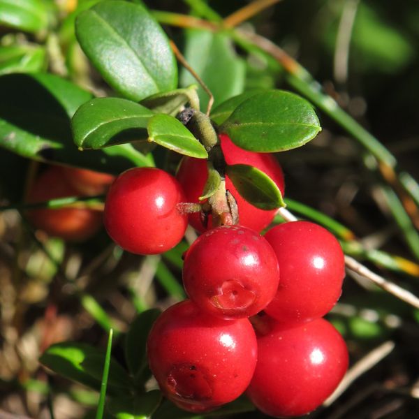
Where to meet it
Trails
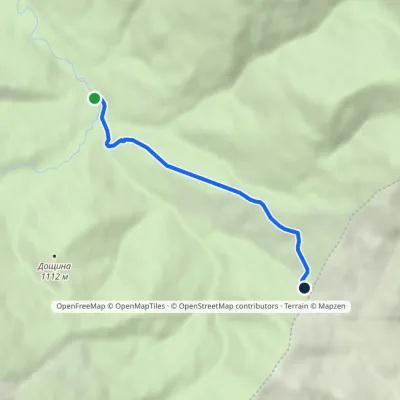 EasyOne-dayMarkedMezhyriky Vivchyna polonynaElevation profile854–1 048 m3.3 kmascent 193 m≈ 1 h walking
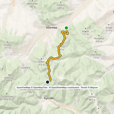 ModerateOne-dayMarkedManiava village Monastyretska polonynaElevation profile497–950 m12.1 kmascent 406 m≈ 3.5 h walking
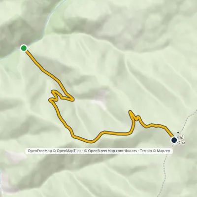 EasyOne-dayMarkedKomen tract Mount VykhidElevation profile813–1 455 m6.3 kmascent 642 m≈ 2.5 h walking
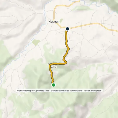 EasyOne-dayMarkedOpryshky RoadElevation profile628–754 m2.5 kmascent 63 m≈ 45 min walking
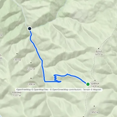 EasyOne-dayMarkedMount Shchivnyk Lemskyi Lis tractElevation profile772–1 407 m8.3 kmascent 15 m≈ 2 h walking
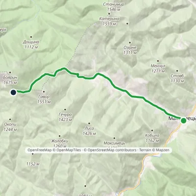 ModerateOne-dayMarkedMaksymets village Stremena polonynaElevation profile669–1 353 m10.8 kmascent 684 m≈ 4 h walking
Peaks and meadows
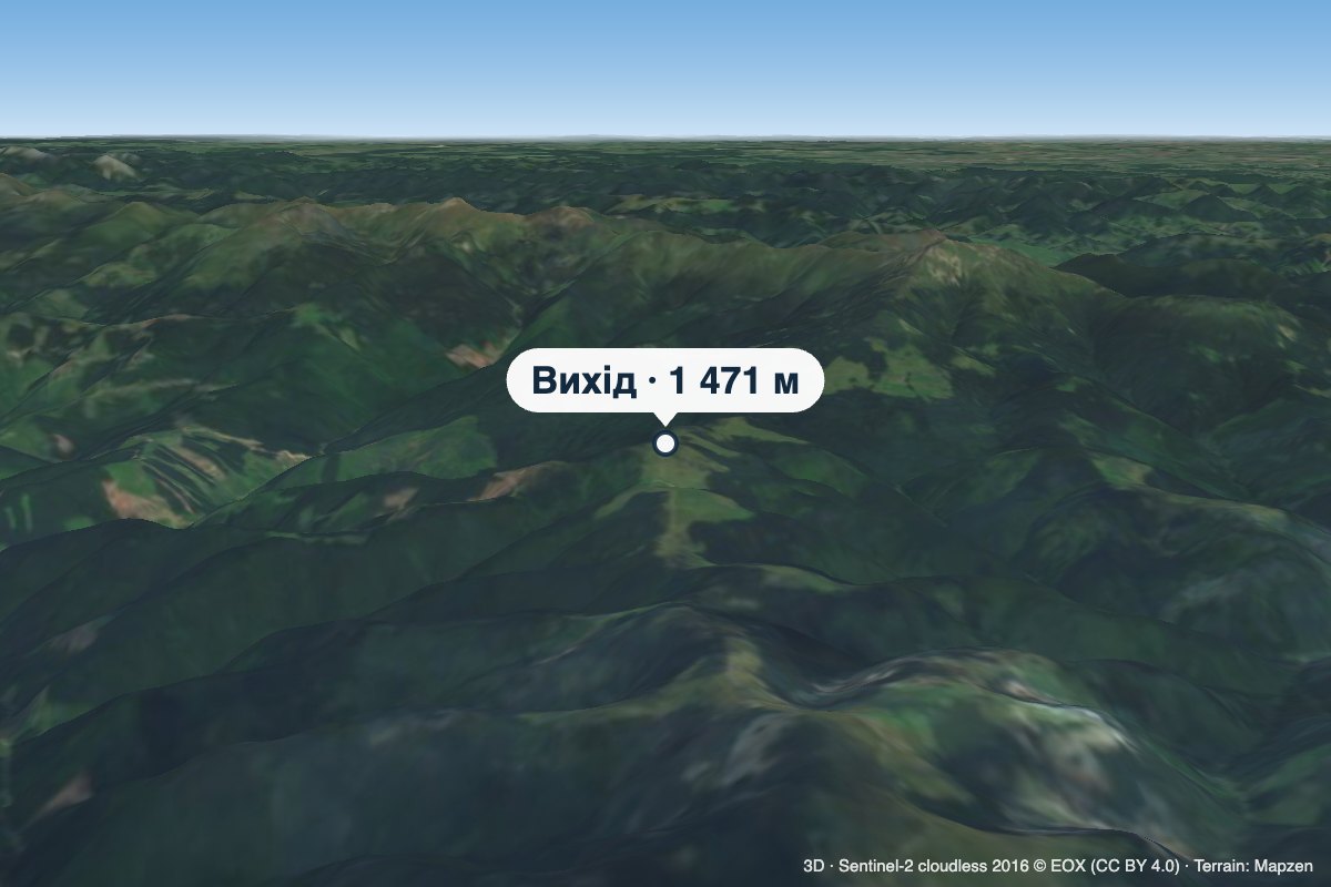 PeakMount VykhidLuhyaltitude 1 471 m · Chornohora range1 trail to the topVykhid is a 1,471 m mountain (some sources give 1,474.9 m) on the ridge linking Chornohora with the Marmarosh Massif,...
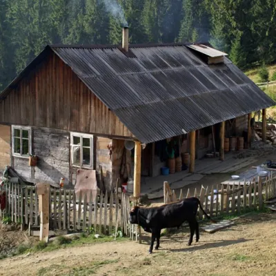 Mountain meadow1 600 mPolonyna "Shchavnyk" (Yavirnyk)Yavirnyk (Shybene)The Shchavnyk meadow is located on the Chornohora ridge at an altitude of 1600 meters above sea level.
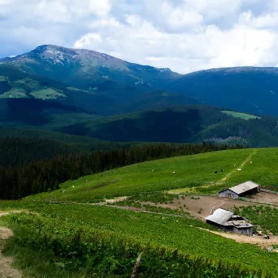 Mountain meadow1 487 mPolonyna RadulYavirnyk (Shybene)The Radul meadow is located within the Marmarosh Massif. It is located almost at the border with Romania.Shepherds...
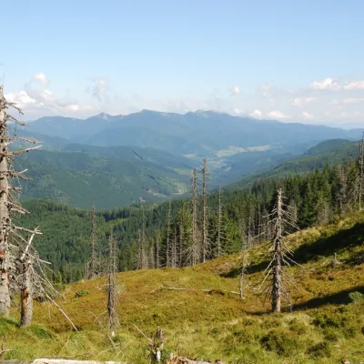 PeakMount TavpyshBystrytsiaaltitude 1 450 m · Gorgany rangeTavpysh is a 1,450 m summit of the Tavpyshyrka ridge in the central Gorgany, in the Nadvirna district of Ivano...
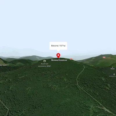 PeakMount Velyka KozmeskaVoronenkoaltitude 1 571 mMount Wielkie Kozmeska is a peak with an altitude of 1571.7 meters above sea level.
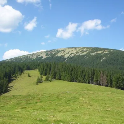 PeakMount Boyarin (Korotkan)Stara Hutaaltitude 1 675 m · Gorgany range11 trails to the topBoyarin (there is another name - Korotkan) is a massive oval-shaped mountain in the central part of the Gorgan...
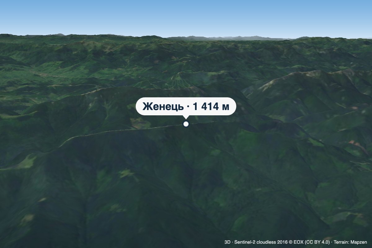 PeakMount ZhenetsMykulychynaltitude 1 414 m · Gorgany rangeZhenets is a 1,414 m summit in the south-eastern Gorgany, in the Nadvirna district of Ivano-Frankivsk Oblast.
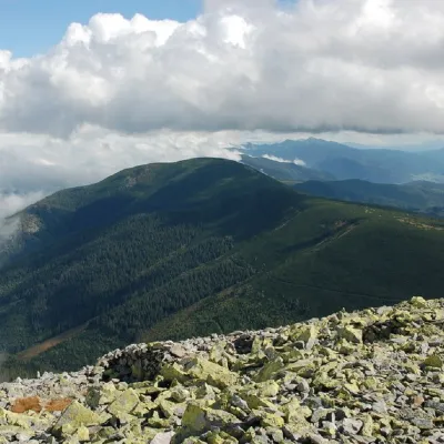 PeakMount NegrovaStara Hutaaltitude 1 604 m · Gorgany range11 trails to the topNegrova is a peak in the central part of the Gorgan mountain range(Ukrainian Carpathians).
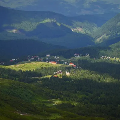 Mountain meadow1 350 mPolonyna DrahobratYasinyaDrahobrat is a high polonyna (mountain pasture) on the northern slopes of the Svydovets massif in the Rakhiv district...
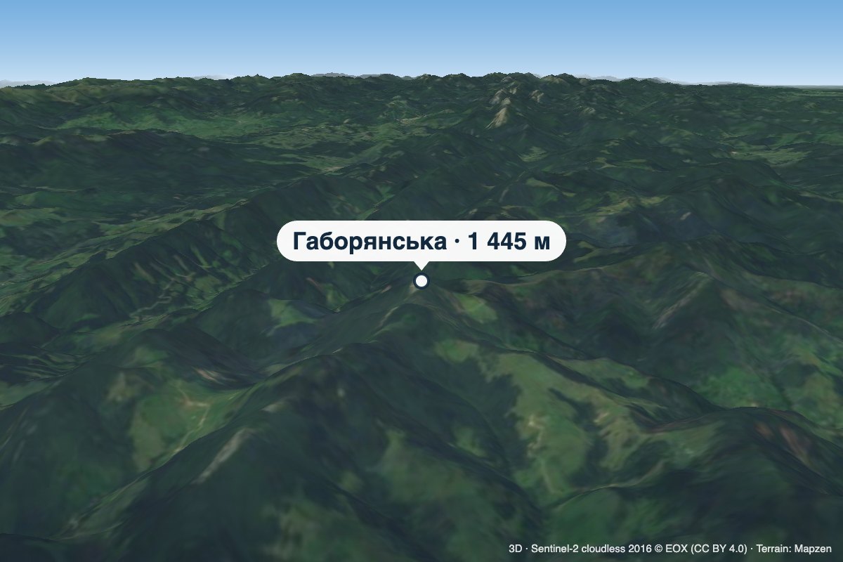 PeakMount HaborianskaStaishchealtitude 1 445 mHaborianska (also Haborianska Hyha) is a 1,445 m mountain (1,444.5 m exactly; some sources give 1,447 m) in the...
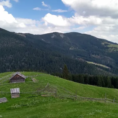 PeakMount BubenskaVolovaaltitude 1 232 mMount Bubenska (also known as Bobenska or Bubynska) is one of the peaks in the Carpathian Mountains in western Ukraine.
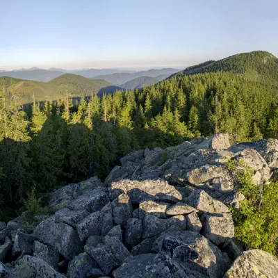 PeakMount Bila KobylaVerkhovynaaltitude 1 477 m · Pokuttia-Bukovyna Carpathians range5 trails to the topMount Bila Kobyla is a peak in the Ukrainian Carpathians, which is located within the Pokutsko-Bukovyna mountain range.
Waters and waterfalls
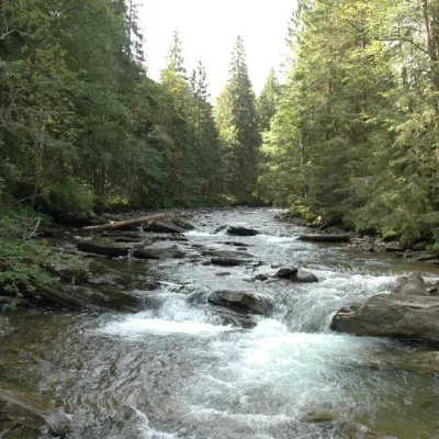 RiverPrutKryvopilliaThe Prut River is a river that connects several countries and is of great natural, historical and cultural importance.
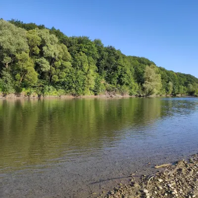 RiverBystrytsia Solotvynska RiverSolotvynThe Bystrytsia Solotvynska rises at about 1,390 m at the foot of Mala Syvulia and Bystryk, near the Peklo cliffs in...
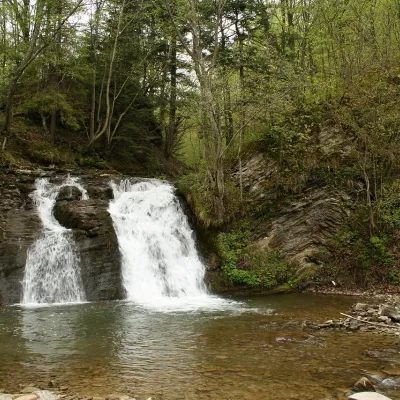 WaterfallGurkalo waterfallKorchynGurkal, located on the Velyka Richka River, has a very eloquent name! You can't argue with it, especially when the...
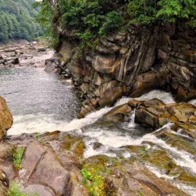 WaterfallProbiy waterfall, YaremcheYaremcheProbiy Waterfall is located in the heart of the Carpathian Mountains, in the city of Yaremche.
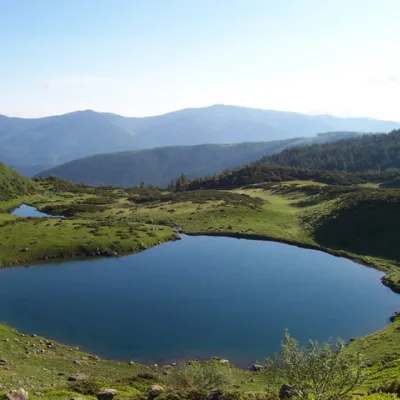 LakeLake VorozheskayaChorna TysaThe real pearl of the Carpathians - Lake Vorozheska (other names - Vorozheska, Triton ) - is a hydrological natural...
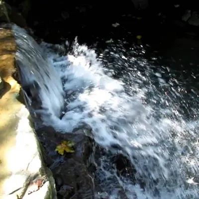 WaterfallBagrovetsky waterfallYaremcheBagrovetsky Waterfall is one of the most famous waterfalls in the Yaremche region, located in the city of Yaremche.
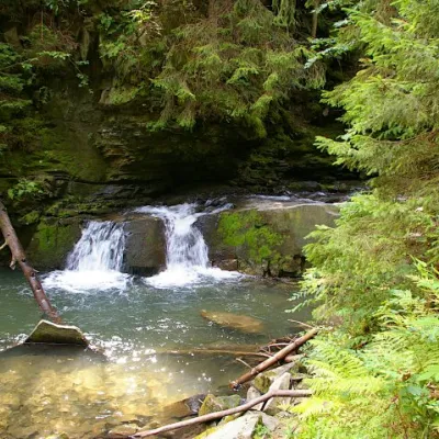 WaterfallWaterfall Maiden's Tears, YaremcheYaremcheMaiden's Tears is a waterfall in the Ukrainian Carpathians (Gorgany massif).
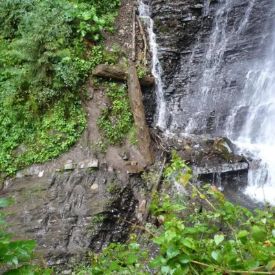 WaterfallZhenetsky Hook waterfallMykulychynZhenetskyi Huk is one of the most convenient Carpathian waterfalls for tourists, as it is accessible by a direct,...
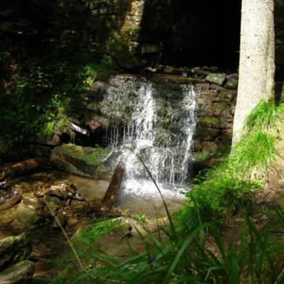 WaterfallLumshory waterfallsLumshoryLumshory waterfalls are a group of waterfalls in the Ukrainian Carpathians, a hydrological natural monument of local...
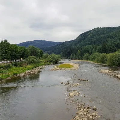 RiverOpir RiverSkoleThe Opir is a 58-km mountain river of the Skole Beskids. It rises on the eastern slope of Mount Velykyi Yavirnyk,...
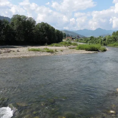 RiverChornyi Cheremosh RiverVerkhovynaThe Chornyi Cheremosh rises south-east of Burkut on the slopes of the Chyvchyn Mountains, the most remote corner of...
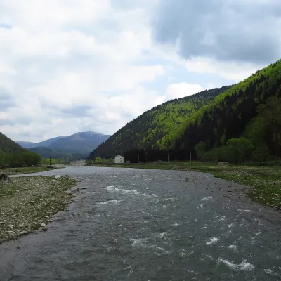 RiverTereblia RiverKolochavaThe Tereblia begins in the Inner Gorgany, where the Roztoka and Sloboda streams meet, and flows through Synevyrska...
Mountain ranges: In other countries: 🇸🇰 Strážov Mountains, 🇸🇰 Low Tatras, 🇸🇰 Slovak Ore Mountains, 🇸🇰 Western Tatras, 🇸🇰 High Tatras, 🇸🇰 Greater Fatra, 🇸🇰 Lesser Fatra, 🇸🇰 Považský Inovec, 🇸🇰 Slovak Central Mountains, 🇸🇰 Volovec Mountains, 🇸🇰 Kysuce Beskids, 🇵🇱 Żywiec Beskids, 🇵🇱 Pieniny, 🇸🇰 Slovak Paradise
Trails and peaks near which naturalists recorded the species (GBIF, iNaturalist), matched by altitude and habitat. Sightings are not guaranteed.
Sources
- Вікіпедія: Яловець звичайний
- Wikipedia (en): Juniperus communis
- Plantarium: Juniperus sibirica — субальпійське криволісся на Чорногорі (Шешул — Петрос, 1500–1600 м)
- Wikipedia (en): Taxus baccata
- iNaturalist: Juniperus communis (спостереження в Карпатах)
GBIF · iNaturalist · Wikidata · Distribution data: GBIF.org (CC0 and CC BY records), iNaturalist; names and identifiers: Wikidata (CC0). Text: Karpaty.rocks, checked 09.11.2026.
