Mount Vykhid
Vykhid is a 1,471 m mountain (some sources give 1,474.9 m) on the ridge linking Chornohora with the Marmarosh Massif, which runs from Pip Ivan Chornohirskyi to Mount Stih. The summit lies on the border of Ivano-Frankivsk and Zakarpattia oblasts, west of the village of Zelene (Verkhovyna district) and south-east of Luhy (Rakhiv district). It is the first distinct high point south of the Shybene Pass (1,342 m).
The summit is treeless and the slopes are steep except on the north-east. The crest is a watershed: streams from the western slopes feed the Bila Tysa, those from the eastern slopes the Chornyi Cheremosh.
How to get there
Twenty-six of our routes cross Vykhid or pass within a few dozen metres of it — most of the big traverses between the Marmarosh Massif and Chornohora. The shortest is Shybene – Mount Shchavnyk – Mount Vaskul – Mount Pip Ivan Chornohirskyi – Mount Smotrych – Dzembronia (29.7 km). For a ridge walk try Mount Pip Ivan Chornohirskyi – Mount Stih – Mount Mala Neneska – Mount Pip Ivan Marmaroskyi (36.6 km), and for a multi-day traverse Dilove – Pip Ivan Marmaroskyi – Mika-Mare – Stih – Pip Ivan Chornohirskyi – Shybene (74.9 km). The Transcarpathian Tourist Trail also runs over the summit. About 1.5 km to the south lies Mount Shchavnyk.
Water, shelter and safety
Our map shows picnic shelters and a weather shelter just a few dozen metres from the summit, and several springs below Mount Shchavnyk about 350 m away, at roughly 1,390 m. The rest of the ridge is exposed: there is no protection from thunderstorms and strong wind, and in fog it is easy to take the wrong path, as many spurs branch off the crest. Check the forecast, carry an offline track, warm clothes and a rain jacket. In an emergency call 112 or 101 — contacts of the nearest units are on our mountain rescue page.
Interesting facts
- The ridge of Vykhid once carried the border between Galicia and Hungary and, between the world wars, the Polish–Czechoslovak frontier; a border post on the summit is a reminder of those times.
- Water from both sides of the mountain ends up in the Danube — via the Tysa in the west and via the Cheremosh and Prut in the east.
- The view takes in all of Chornohora from Petros to Pip Ivan, the Hryniava pastures, the Chyvchyn Mountains and the Marmarosh Massif.
Comments
Places to stay nearby
 HomesteadHomestead "Sharm karpaty"19 km from Mount VykhidSaunaSPABBQNearby: Polonyna Krinta 2.5 kmMuseum of mushrooms 2.8 km17 trails
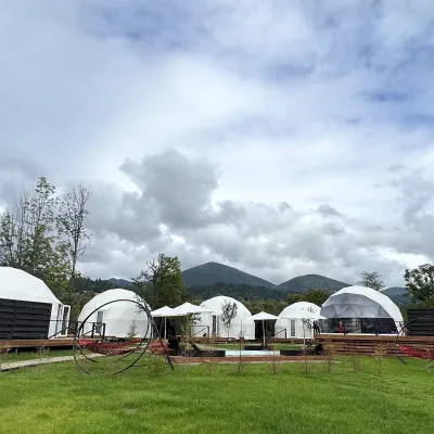 HotelGlamping EcoSpace Ethno19 km from Mount VykhidHot tubPoolNearby: Polonyna Krinta 2.5 kmMuseum of mushrooms 2.8 km17 trails
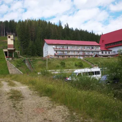 HotelTraining and Sports Base "Zaroslyak" at Hoverla17 km from Mount VykhidPoolSaunaParkingNearby: Polonyna Pozhizhevska 1.2 kmMt Hoverla 2.8 km32 trails
Trails nearby
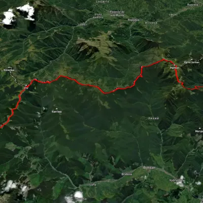 HardMulti-dayUnmarkedDilove village to Shybene villagevia Mount Pip Ivan Marmaroskyi, Mount Mika-Mare +2Elevation profile354–2 016 m74.9 kmascent 4 362 munder 1 km from Mount Vykhid
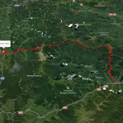 HardMulti-dayUnmarkedRakhiv to Iltsi villagevia Mount Pip Ivan Marmaroskyi, Mount Mika-Mare +1Elevation profile435–2 003 m88.2 kmascent 3 671 munder 1 km from Mount Vykhid
 HardMulti-dayMarkedTranscarpathian Tourist TrailElevation profile198–2 031 m393.2 kmascent 30 283 munder 1 km from Mount Vykhid
Nearby attractions
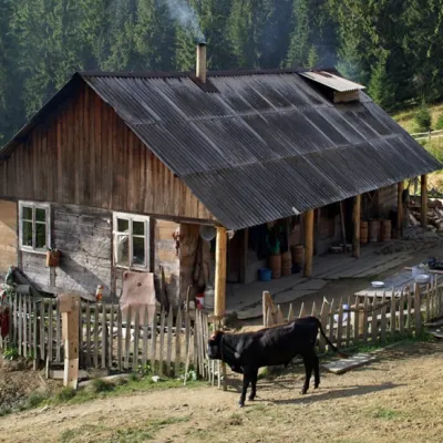 Mountain meadowPolonyna "Shchavnyk" (Yavirnyk)altitude 1 600 m · Chornohora range1.1 km from Mount VykhidThe Shchavnyk meadow is located on the Chornohora ridge at an altitude of 1600 meters above sea level.
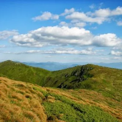 PeakMount Shchavnykaltitude 1 378 m1.5 km from Mount Vykhid28 trails to the topThe top of Mount Shchavnyk is 1378 meters above sea level. Nearest settlements: Yavirnyk and Burkut in Ivano-Frankivsk region.
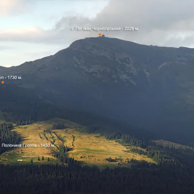 NatureMount Vaskul3.3 km from Mount VykhidVaskul (Vaskul) is a mountain in the Chornohora massif (Ukrainian Carpathians). Vaskul (1730 m) is the foothill of Pop Ivan on the southwestern side.