Konská
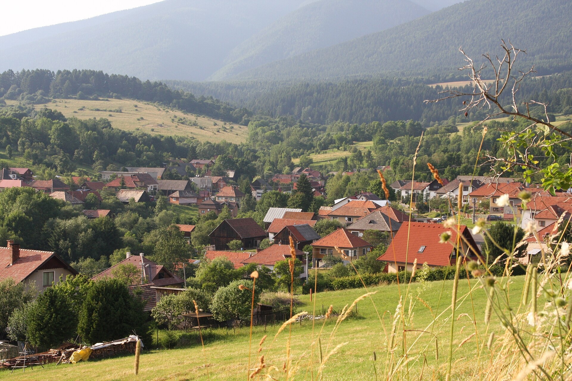
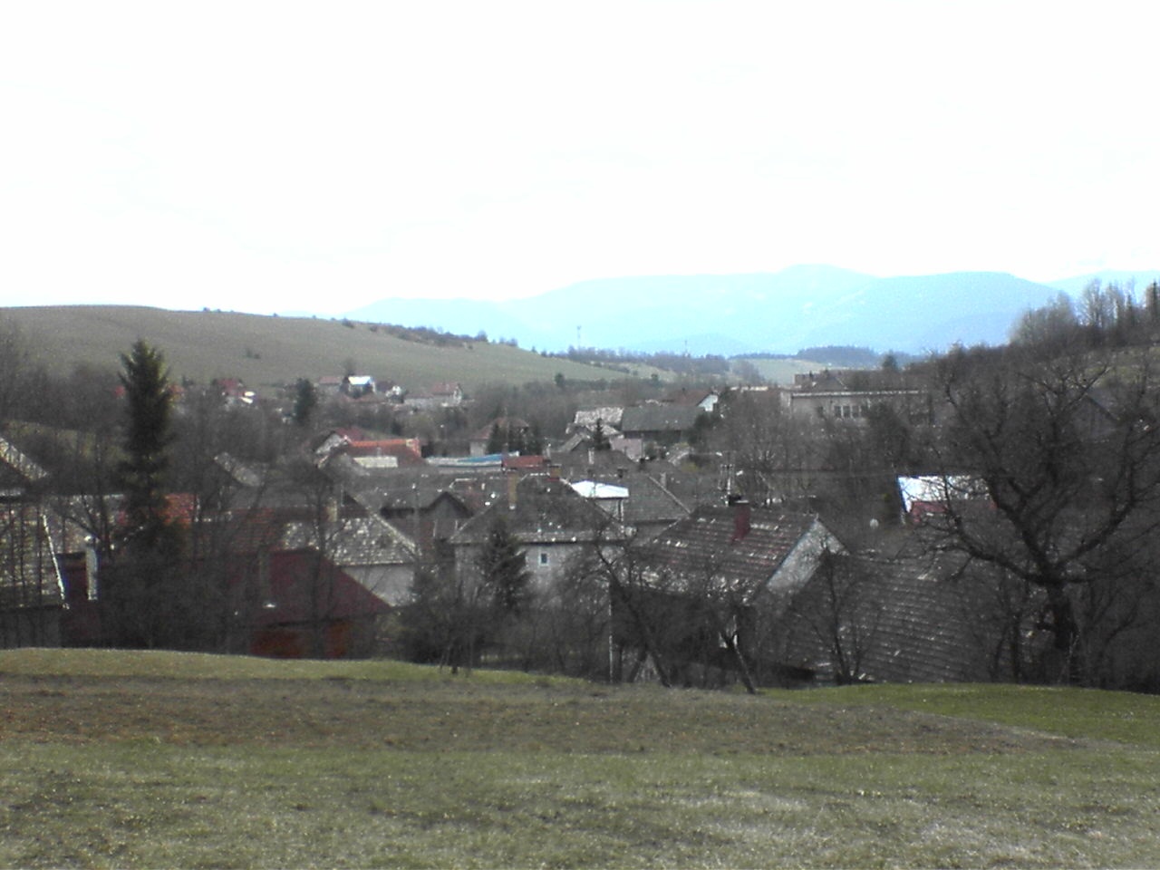
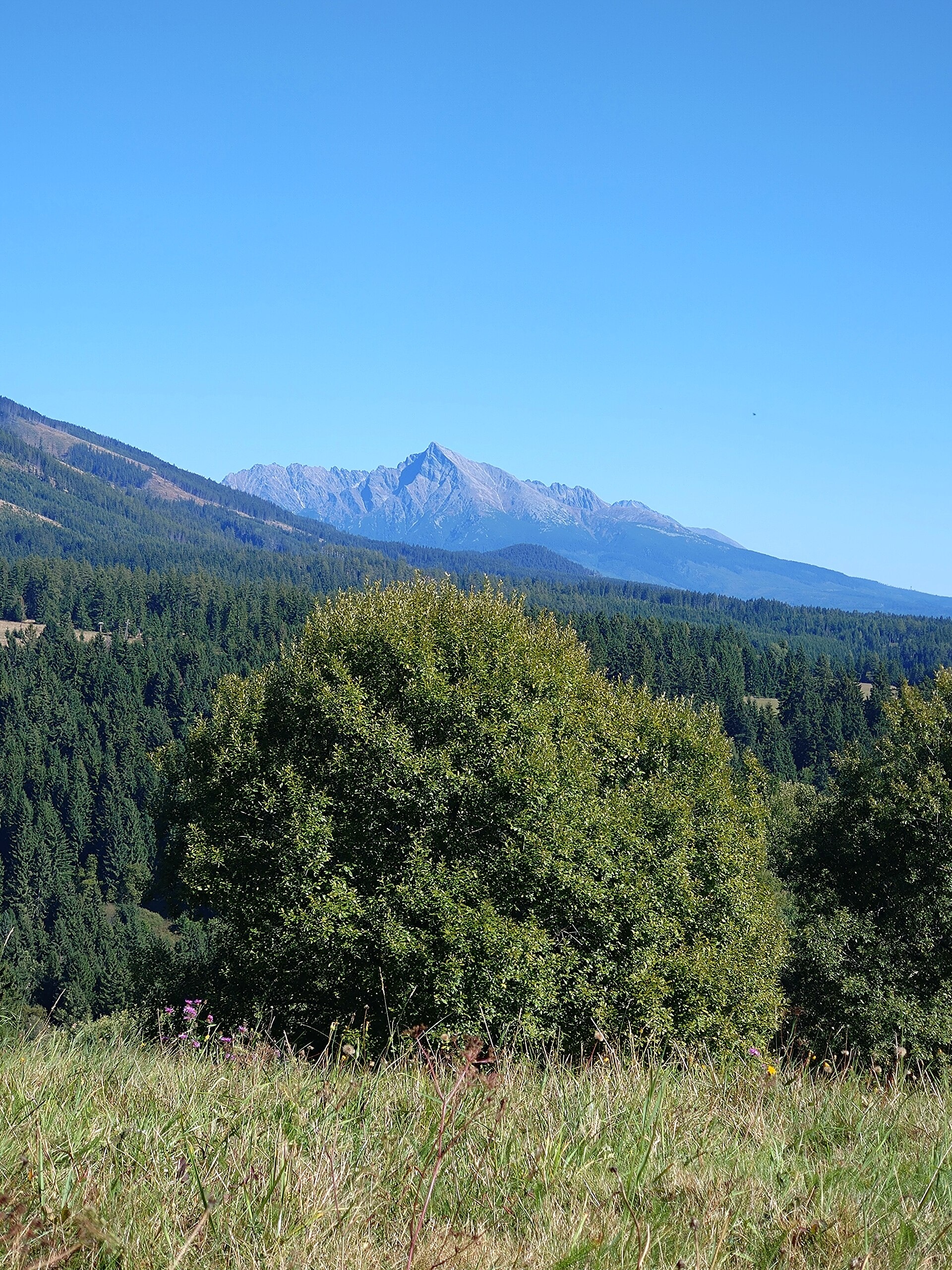
Photos: JUDr. Milan Uličný, CC BY 3.0 (Wikimedia Commons); Robzle, Public domain (Wikimedia Commons); Robzle, CC0 (Wikimedia Commons)
Konská is a village in Slovakia.
Elevation: about 755 m above sea level. Population: 218 (2025). Mountains nearby: Western Tatras.
Here and nearby on the site: 2 trails, 1 peak.
Facts: Wikidata, OpenStreetMap. More on Wikipedia
Trails nearby
All trails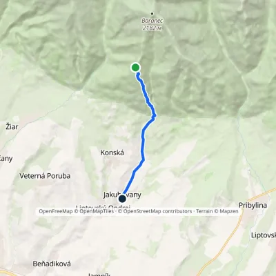 EasyOne-dayMarkedJakubovany Holý vrchElevation profile704–1 675 m6.7 km≈ 1.5 h walking1.1 km from the centre
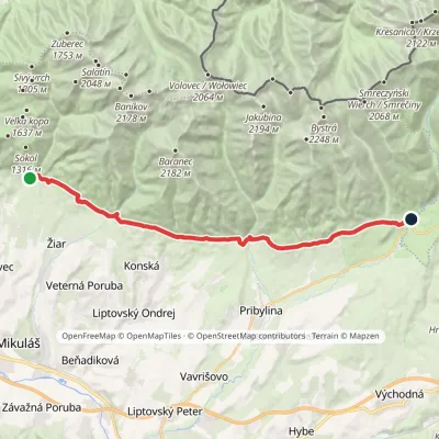 ModerateTwo-dayMarkedTatranská magistrála (Tatra Highway): Na Tokarinách PodbanskéElevation profile789–1 043 m22.2 kmascent 580 m≈ 6.5 h walking2.3 km from the centre
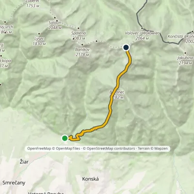 HardOne-dayMarkedMouth of Žiarska Valley PlačlivéElevation profile882–2 185 m9.7 kmascent 1 564 m≈ 5.5 h walking2.8 km from the centre
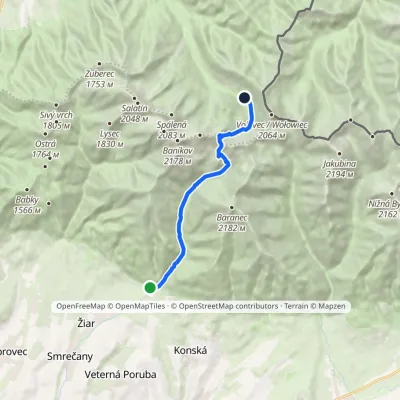 ModerateOne-dayMarkedTatliak Tarn Mouth of Žiarska ValleyElevation profile882–1 963 m11.5 kmascent 1 082 m≈ 5 h walking3.1 km from the centre
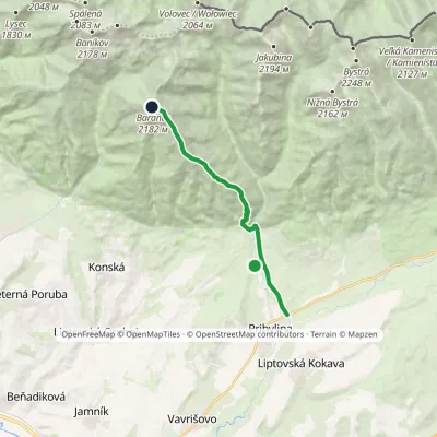 HardOne-dayMarkedPribylina, Hotel Esperanto BaranecElevation profile780–2 185 m11.3 kmascent 1 440 m≈ 5.5 h walking5.2 km from the centre
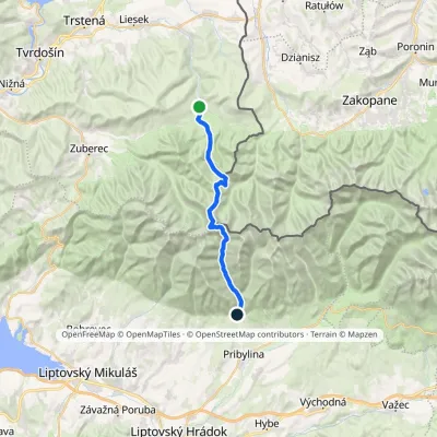 HardTwo-dayMarkedOravice Račková dolina, campsiteElevation profile791–2 063 m23.6 kmascent 1 337 m≈ 8.5 h walking5.7 km from the centre
Peaks nearby
All peaks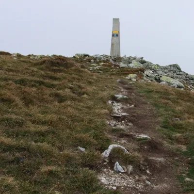 PeakBaranecKonskáaltitude 2 185 m6.3 km from the centre1 trail to the topBaranec (Polish: Baraniec) is a 2,185 m peak in the Slovak part of the Western Tatras, the third highest in the range after Bystrá and Jakubina.
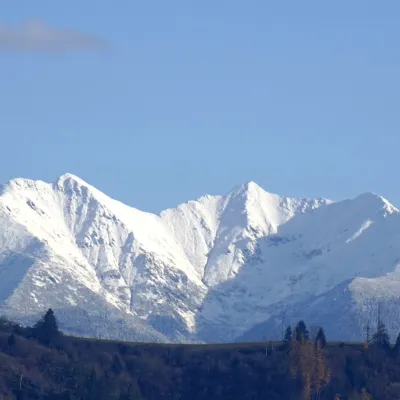 PeakBaníkovZuberecaltitude 2 178 m8.8 km from the centre1 trail to the topBaníkov (Polish: Banówka) is a 2,178 m peak in the Western Tatras — the highest point on the main ridge of the range and the fourth-highest summit of the Western...
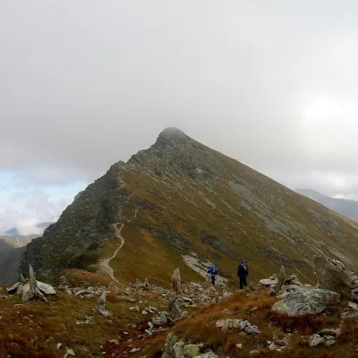 PeakPlačlivéŽiaraltitude 2 125 m9 km from the centrePlačlivé (also Plačlivô, formerly Plačlivý Roháč; Polish Rohacz Płaczliwy) is a 2,125 m peak on the main ridge of the Western Tatras in Slovakia, in the part known as...
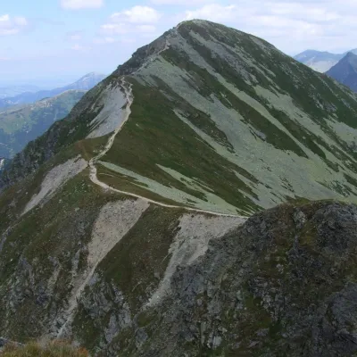 PeakHrubá kopaŽiaraltitude 2 166 m9 km from the centreHrubá kopa (Polish Hruba Kopa or Baszta) is a 2166 m summit on the main ridge of the Slovak Western Tatras and the third highest mountain of the Roháče group.
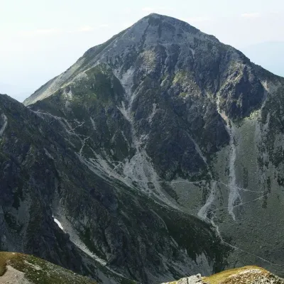 PeakPachoľaJalovecaltitude 2 167 m9.2 km from the centrePachoľa (Polish Pachoł or Pachola) is a striking pyramid-shaped 2,166.6 m summit on the main ridge of the Western Tatras, in their Roháče part.
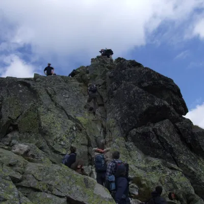 PeakOstrý Roháčaltitude 2 088 m9.5 km from the centreOstrý Roháč (Polish: Rohacz Ostry) is a rocky, twin-summited 2,088 m mountain on the main ridge of the Western Tatras in Slovakia.
What to visit
All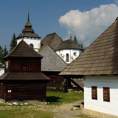 MuseumMuseum of the Liptov Village (Pribylina open-air museum)Pribylina6.1 km from the centreThe Museum of the Liptov Village (Múzeum liptovskej dediny) lies beyond the village of Pribylina on the road to Podbanské, right below the High Tatras.
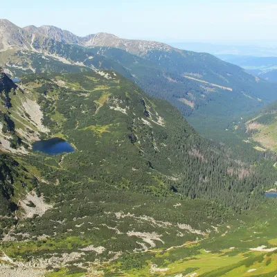 LakeRoháčske plesá9.9 km from the centreRoháčske plesá are a cascade of four glacial lakes at the head of Roháčska dolina in the Western Tatras, in the Orava region.
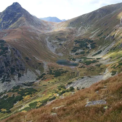 LakeJamnícke plesá10 km from the centreJamnícke plesá are two glacial lakes in the upper part of Jamnícka dolina in the Western Tatras, in the Liptov region, within Tatra National Park (TANAP).
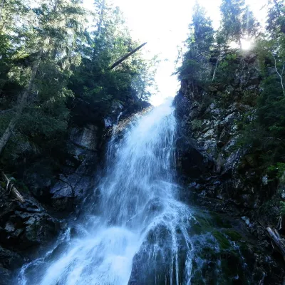 WaterfallRoháčsky WaterfallZuberec11 km from the centreRoháčsky waterfall (Roháčsky vodopád) is the best-known waterfall of the Western Tatras, in the Roháče massif about 12 km east of the village of Zuberec in Orava.
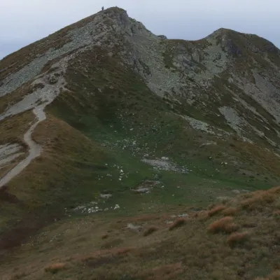 Mountain meadowThe grassy hole of Salatín and Brestová in the Western TatrasZuberecaltitude 2 048 m11 km from the centreSalatín (2,048 m) is a massive grassy mountain on the main ridge of the Western Tatras (Západné Tatry) in Slovakia, above the Bobrovecká and Jalovecká valleys on the...
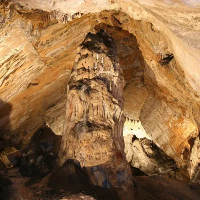 NatureDemänovská Ice CaveDemänovská Dolina15 km from the centreThe ‘dragon’ cave of the Demänová valley The Demänovská Ice Cave (Demänovská ľadová jaskyňa) is the northern part of the famous Demänová cave system in the Low Tatras,...
Craft nearby
All craft places Craft beer & breweriesLiptovar brewery, Liptovský Mikuláš: craft beer and brewpubLiptovský Mikuláš8.4 km from the centreLiptovský Mikuláš is the main town of the Liptov region, a short drive from the Low and Western Tatras, the Demänovská Valley and the Liptovská Mara reservoir.
 Water parks & thermal poolsTERMAL raj thermal bath, Liptovský JánLiptovský Ján9.5 km from the centreLiptovský Ján: thermal water at the entrance to Jánska dolina Liptovský Ján is an old village in southern Liptov, about 10 km from Liptovský Mikuláš, at the entrance...
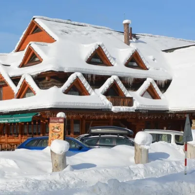 Koliby & Hutsul cuisineKoliba Strachanovka, Jánska valleyLiptovský Ján9.9 km from the centreKoliba Strachanovka (Jánska koliba) is a large wooden koliba at the entrance to the Jánska valley in the village of Liptovský Ján, which locals consider one of the...
 Water parks & thermal poolsAquapark TatralandiaLiptovský Mikuláš11 km from the centreAquapark Tatralandia is a large year-round water leisure complex near Liptovský Mikuláš, on the northern shore of the Liptovská Mara reservoir.
 Eco farmsFarma Východná — organic farm below the TatrasVýchodná14 km from the centreFarma Východná is the highest-lying organic farm in Liptov, at 930 m in the village of Východná right below the Tatras.
 Horse ridingKone vo Východnej: horse rides below the TatrasVýchodná15 km from the centreKone vo Východnej (“Horses in Východná”) is a small family horse farm on the meadows above the village of Východná in upper Liptov, with a sweeping view of the High...
Spas and thermal pools nearby
Water parks & thermal poolsTERMAL raj thermal bath, Liptovský JánLiptovský Ján9.5 km from the centreLiptovský Ján: thermal water at the entrance to Jánska dolina Liptovský Ján is an old village in southern Liptov, about 10 km from Liptovský Mikuláš, at the entrance...Water parks & thermal poolsAquapark TatralandiaLiptovský Mikuláš11 km from the centreAquapark Tatralandia is a large year-round water leisure complex near Liptovský Mikuláš, on the northern shore of the Liptovská Mara reservoir. Water parks & thermal poolsBešeňová Water ParkBešeňová20 km from the centreBešeňová — the "thermal heart of Liptov" Bešeňová Water Park (Vodný park Bešeňová) lies on the edge of the village of the same name in the western part of the Liptov...
Huts, shelters and springs nearby
 1 289 mMountain shelterŽiarska HutWestern Tatras · SlovakiaStandingOn a trailSleeps up to 40Meals served
Getting there from Ukraine
Border crossings
- Uzhhorod – Vyšné Nemecké — road, 24/7
- Malyi Bereznyi – Ubľa — road, 24/7 For cars and buses; pedestrians not confirmed by the Ukrainian border service, lorries up to 3.5 t.
- Mali Selmentsi – Veľké Slemence (pedestrian) — pedestrian, 09:00–21:00 Kyiv time Pedestrians and cyclists only; inconvenient for the Tatras without onward transport.
- Chop – Čierna nad Tisou (rail) — rail, 24/7
By car
From Uzhhorod ≈275 km, ≈3 h 35 min without queues: Uzhhorod – Vyšné Nemecké → I/19 to Košice → D1 motorway via Prešov, Poprad and Liptovský Mikuláš to Ružomberok (≈270 km, ≈3 h 25 min from the border). From Lviv it is faster through Poland: M-10 → Krakovets – Korczowa → A4 to Kraków → S7/DK7 to the Chyżne – Trstená border → R3 and I/59 via Dolný Kubín to Ružomberok: ≈482 km, ≈6 h 15 min (via Uzhok and Ubľa ≈500 km, ≈7 h 30 min). The D1 requires an e-vignette (eznamka.sk).
Checked 23.10.2026; border crossing hours and timetables change — check before you travel.
