Hrubá kopa
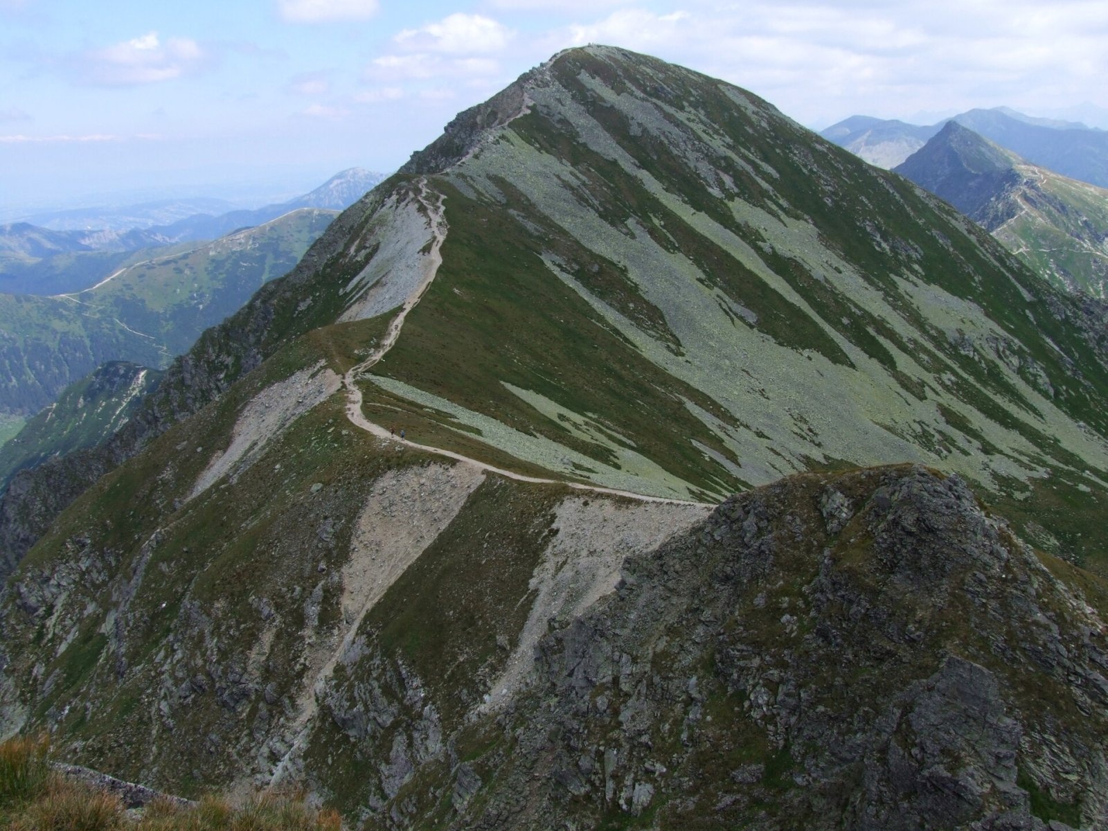
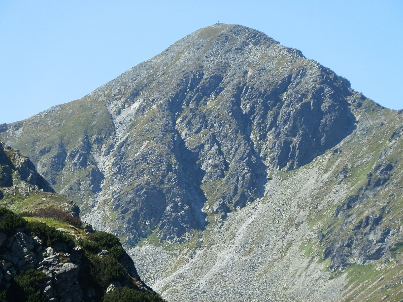
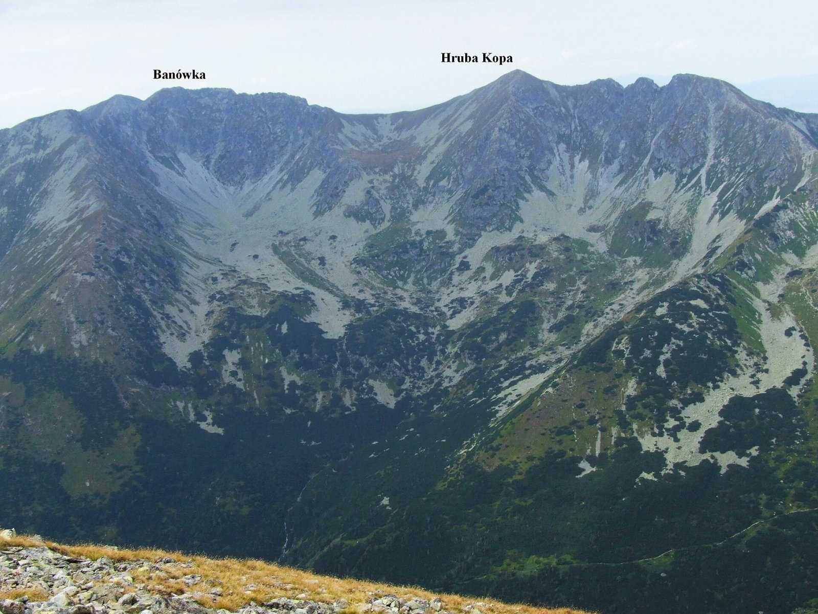
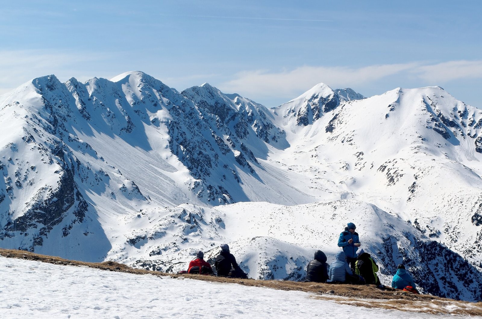
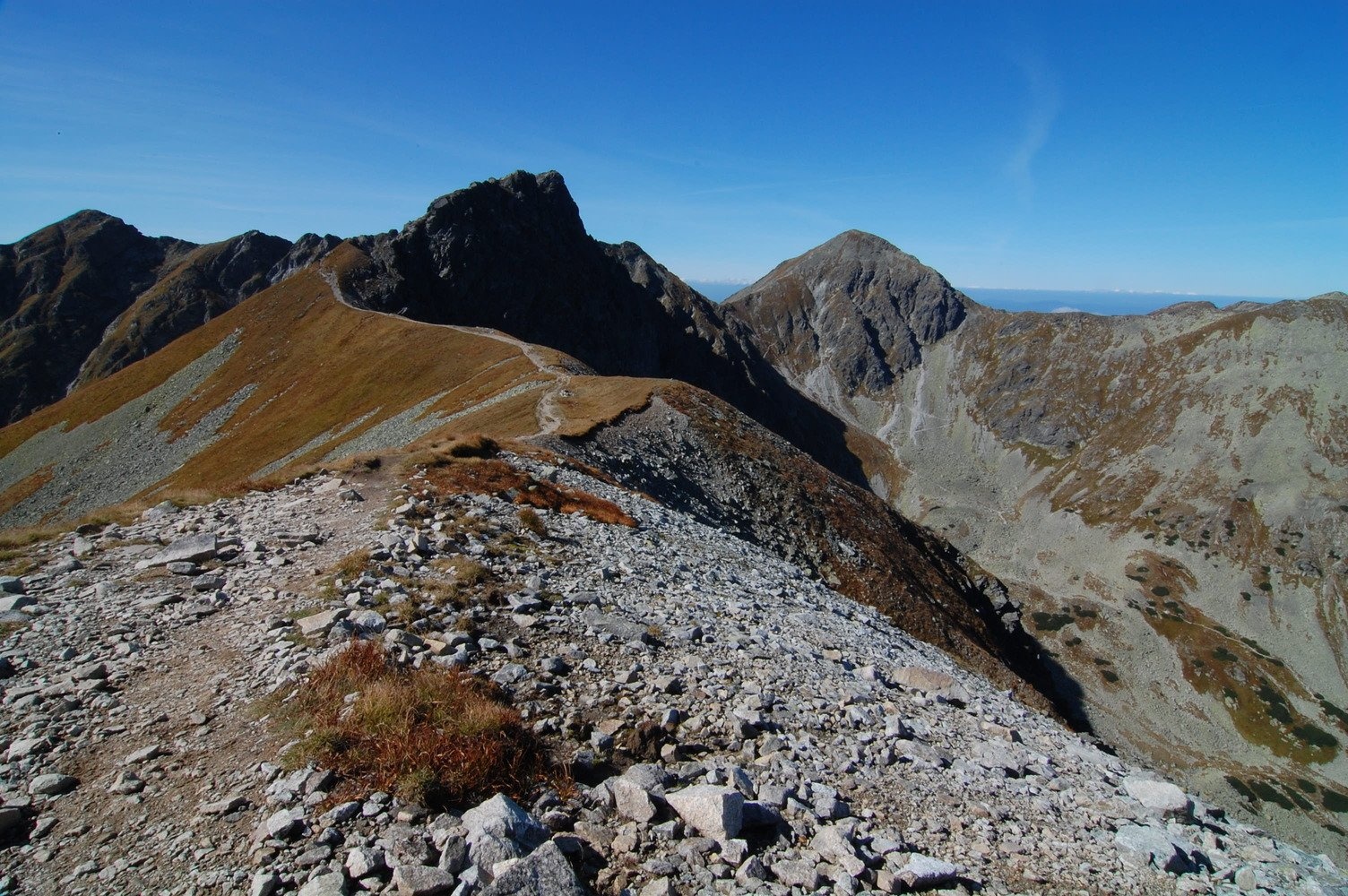
Hrubá kopa (Polish Hruba Kopa or Baszta) is a 2166 m summit on the main ridge of the Slovak Western Tatras and the third highest mountain of the Roháče group. It stands at the head of the Žiarska dolina valley above the village of Žiar, about 14 km north-east of Liptovský Mikuláš. The mountain lies on the border of Orava and Liptov in the Žilina Region: its southern part belongs to Žiar (Liptovský Mikuláš District), its northern part to Zuberec (Tvrdošín District).
Hrubá kopa sits between Tri kopy (2136 m) to the east, separated by the small Hrubá priehyba saddle, and Baníkov (2178 m), the highest peak of the Roháče, about a kilometre to the west. Steep north faces drop into the glacial cirque of the Spálená dolina, a branch of the Roháčska dolina draining to the Orava. To the south gentler grassy and stony slopes fall into the Veľké Závraty cirque in the upper Žiarska dolina, drained by the Smrečianka stream, a tributary of the Váh. The north-eastern part of the massif belongs to the Roháčske plesá national nature reserve.
How to get there / routes
A red ridge trail along the main ridge of the Western Tatras crosses the summit. The climb is technically quite demanding: the sections from Baníkov and from Smutné sedlo are equipped with chains.
- The easiest way – blue trail from the Žiarska dolina past the Žiarska chata hut to Smutné sedlo, then red to the top: about 4 h 15 min and roughly 1350 m of ascent.
- From the north – blue trail from the Ťatliakova chata hut in the Roháčska dolina to Smutné sedlo, then red via Tri kopy.
- Along the ridge from the west – red trail from Sivý vrch via Baníkov and Baníkovské sedlo.
- Along the ridge from the east – red trail from Volovec via Plačlivé and Smutné sedlo. The stretch from Smutné to Baníkovské sedlo via Tri kopy, Hrubá kopa and Baníkov takes about 2 h one way.
What you can see from the top
The stony, dome-shaped summit offers an all-round view. You can see many peaks of the Western and High Tatras, the Roháčska and Žiarska valleys and, in good visibility, the Orava Beskids, the Malá and Veľká Fatra, the Low Tatras and the mountains of southern Poland. The jagged Roháče ridge – Tri kopy, Ostrý Roháč and Volovec – is especially striking.
Nature and history
The name comes from the mountain being massive, "hrubá" (thick), compared with the neighbouring Tri kopy. Several avalanche gullies start near the summit on the southern slopes and drop into the Veľké Závraty cirque, so avalanche danger is real in winter and spring. The massif lies in the Tatra National Park (TANAP), and the boundary of the Roháčske plesá reserve runs over the summit and its north-eastern ridge.
Older surveys gave heights of 2163, 2165 and 2166 m; Polish sources now give 2168 m.
Safety, season and rules
The Roháče ridge is one of the most demanding routes in the Western Tatras: rocky sections with chains, a steep descent and full exposure to wind and storms. Start early in the morning and avoid wet rock. From 1 November to 31 May TANAP closes its high-mountain trails above the tree line for the season, and this section of the ridge is included. Do not leave the marked path. In the Slovak mountains help comes from the Mountain Rescue Service HZS: 18 300 (+421 18 300) or 112.
Interesting facts
- Despite its technical sections, Hrubá kopa is one of the most visited peaks of the Roháče.
- A short, low ridge runs from the summit north-east towards the Roháčske plesá lakes.
Photos: Jerzy Opioła, CC BY-SA 3.0; Michal Jakubský, CC BY 3.0; Jerzy Opioła, CC BY-SA 3.0; Jakub Hałun, CC BY-SA 4.0; Andrej Krivulčík, CC BY 3.0 — Wikimedia Commons.
Getting there from Ukraine
Border crossings
- Uzhhorod – Vyšné Nemecké — road, 24/7
- Malyi Bereznyi – Ubľa — road, 24/7 For cars and buses; pedestrians not confirmed by the Ukrainian border service, lorries up to 3.5 t.
- Mali Selmentsi – Veľké Slemence (pedestrian) — pedestrian, 09:00–21:00 Kyiv time Pedestrians and cyclists only; inconvenient for the Tatras without onward transport.
- Chop – Čierna nad Tisou (rail) — rail, 24/7
By car
From Uzhhorod ≈275 km, ≈3 h 35 min without queues: Uzhhorod – Vyšné Nemecké → I/19 to Košice → D1 motorway via Prešov, Poprad and Liptovský Mikuláš to Ružomberok (≈270 km, ≈3 h 25 min from the border). From Lviv it is faster through Poland: M-10 → Krakovets – Korczowa → A4 to Kraków → S7/DK7 to the Chyżne – Trstená border → R3 and I/59 via Dolný Kubín to Ružomberok: ≈482 km, ≈6 h 15 min (via Uzhok and Ubľa ≈500 km, ≈7 h 30 min). The D1 requires an e-vignette (eznamka.sk).
Checked 23.10.2026; border crossing hours and timetables change — check before you travel.
Location on the map
Water and shelter nearby
- Závratný potok Spring1.1 km · Not verified · 1 586 m
- Spring below Príslop (south slope), 1 844 m1.3 km · Not verified · 1 844 m
- Spring below Zelenô (north-west slope), 1 430 m1.4 km · Not verified · 1 430 m
- Spring below Pachoľa (south slope), 1 949 m1.4 km · Not verified · 1 949 m
- Jalovčianka Spring1.4 km · Not verified · 1 898 m
- Spring below Príslop (south-east slope)1.4 km · Not verified · 1 774 m
- Spring below Zelenô (north-west slope), 1 427 m1.4 km · Not verified · 1 427 m
- Spring below Zelenô (north slope)1.4 km · Not verified · 1 413 m
- Spring below Pachoľa (south slope), 1 868 m1.5 km · Not verified · 1 868 m
- Spring below Pachoľa (south slope), 1 874 m1.5 km · Not verified · 1 874 m
- Spring below Príslop (west slope)1.5 km · Not verified · 1 794 m
- Spring below Pachoľa (south slope), 1 900 m1.6 km · Not verified · 1 900 m
- Spring below Prostredný prislop (north-west slope), 1 721 m1.6 km · Not verified · 1 721 m
- Vybíja Spring1.6 km · Not verified · 1 663 m
- Spring below Predná Zábrať (south slope), 1 348 m1.6 km · Not verified · 1 348 m
- Spring below Prostredný prislop (south-east slope)1.7 km · Not verified · 1 734 m
Comments
Trails nearby
All trails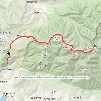 HardMulti-dayMarkedÚstie Kvačianskej doliny Pyšné sedlovia VolovecElevation profile644–2 178 m27.6 kmascent 1 566 m≈ 10 h walkingunder 1 km from Hrubá kopa
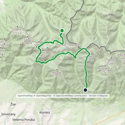 HardMulti-dayMarkedSedlo Zábrať Junction of Jamnická and Račková ValleysElevation profile962–2 194 m26.6 kmascent 2 635 m≈ 12 h walkingunder 1 km from Hrubá kopa
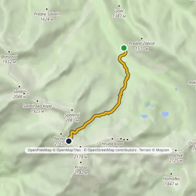 ModerateOne-dayMarkedAdamcuľa Baníkov SaddleElevation profile1 186–2 041 m4.4 kmascent 855 m≈ 3 h walkingunder 1 km from Hrubá kopa
Nearby attractions
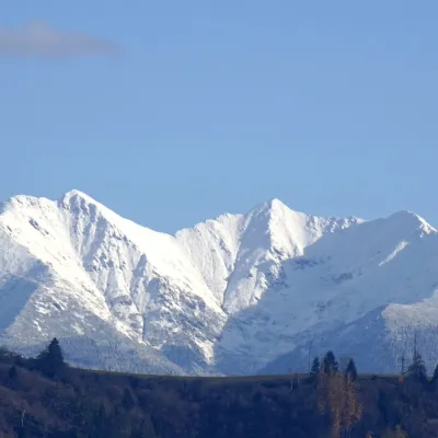 PeakBaníkovZuberecaltitude 2 178 munder 1 km from Hrubá kopa1 trail to the topBaníkov (Polish: Banówka) is a 2,178 m peak in the Western Tatras — the highest point on the main ridge of the range and the fourth-highest summit of the Western...
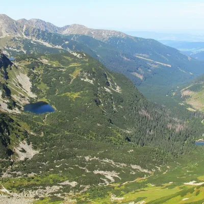 LakeRoháčske plesá1.7 km from Hrubá kopaRoháčske plesá are a cascade of four glacial lakes at the head of Roháčska dolina in the Western Tatras, in the Orava region.
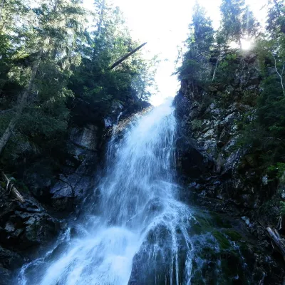 WaterfallRoháčsky WaterfallZuberec1.7 km from Hrubá kopaRoháčsky waterfall (Roháčsky vodopád) is the best-known waterfall of the Western Tatras, in the Roháče massif about 12 km east of the village of Zuberec in Orava.
Craft nearby
All craft places Cheese dairies & pasturesShepherds' Huts on Polana ChochołowskaKościelisko6.4 km from Hrubá kopaPolana Chochołowska is the largest glade in the Polish Tatras and one of the largest in the whole range.
 Water parks & thermal poolsOravice thermal poolsVitanová11 km from Hrubá kopaThe Oravice thermal pools (Termálne kúpalisko Oravice) are the municipal thermal baths in the mountain settlement of Oravice at the foot of the Western Tatras.
 Water parks & thermal poolsMeander Thermal Resort, OraviceVitanová11 km from Hrubá kopaMeander Thermal & Ski Resort (formerly Meander Park) is a thermal water park and ski centre in the mountain settlement of Oravice in northern Slovakia, at the foot of...
 Cheese dairies & pasturesShepherd's Hut in the Kościeliska ValleyKościelisko13 km from Hrubá kopaJózef Słodyczka's bacówka (shepherd's hut) on the Wyżnia Kira Miętusia glade is probably the most easily reached shepherds' hut in the Polish Tatras.
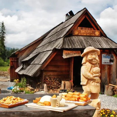 Cheese dairies & pasturesBiały Potok Shepherd's Hut, Witów: oscypek and cheese workshopsKościelisko13 km from Hrubá kopaBiały Potok meadow in the village of Witów lies between the entrances to two of the most visited Tatra valleys, Chochołowska and Kościeliska.
 Water parks & thermal poolsAquapark TatralandiaLiptovský Mikuláš15 km from Hrubá kopaAquapark Tatralandia is a large year-round water leisure complex near Liptovský Mikuláš, on the northern shore of the Liptovská Mara reservoir.
