Stemless gentian
About
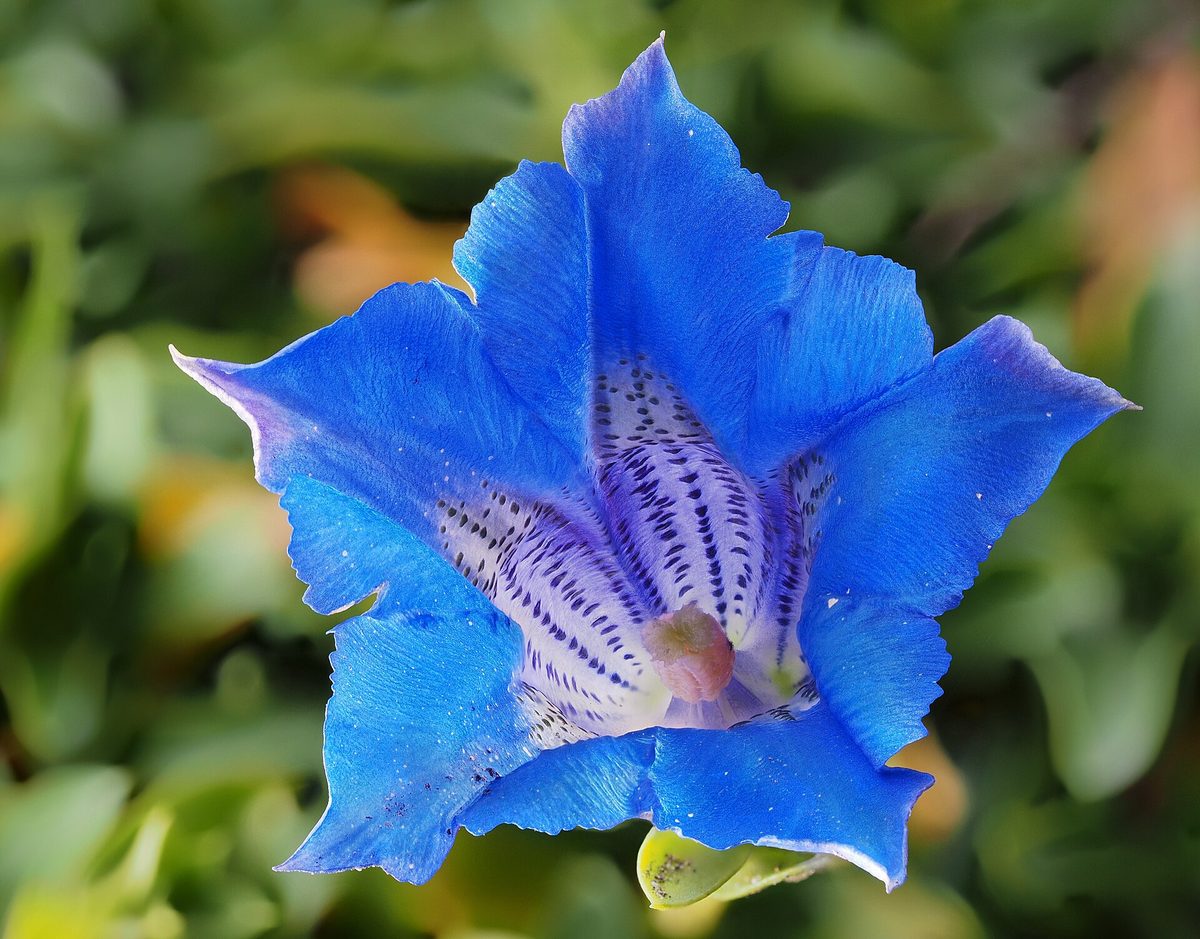
Stemless gentian is one of the brightest flowers of the Carpathians. It grows in the mountains of Central and Southern Europe, from the Pyrenees and Alps to the Balkans, at altitudes of 800–3000 m. In the Ukrainian Carpathians, it is found in Chornohora, Svydovets, and other high mountain ranges. Here it clings to rocks, rocky scree, and gravelly soils in the subalpine and partially alpine zones.
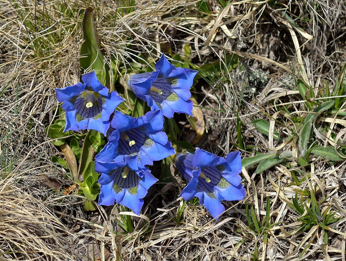
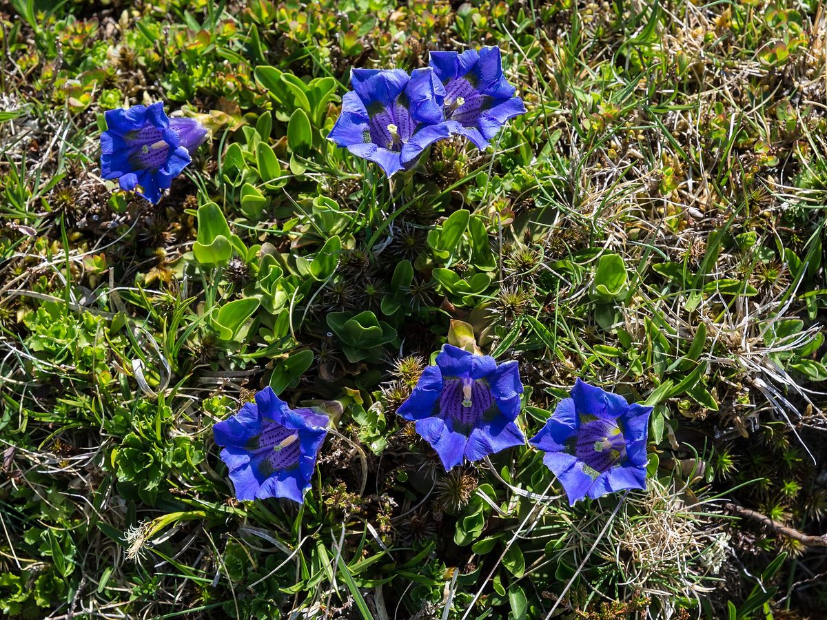
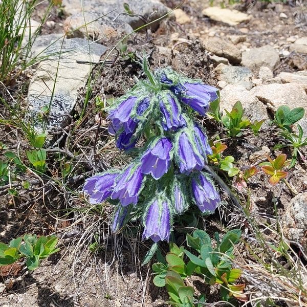
The plant is low, only 5–10 cm tall, and almost its entire height is the flower. At ground level, there is a rosette of evergreen elliptical leaves 2–3.5 cm long, and above it is a solitary tubular bell-shaped flower 5–7 cm long, deep blue, with olive-green spots inside the throat. Plants often form small clumps. It blooms in June — July, and seeds ripen in August.
The blue color of the gentian is so pure and deep that it is cultivated in gardens around the world. However, in nature, the species is rare: in Ukraine, stemless gentian is listed in the Red Book with the status of "vulnerable." It is protected, particularly in the Carpathian Biosphere Reserve and the Carpathian National Nature Park.
Picking and digging up gentian is prohibited. A picked flower will not produce seeds. We do not publish exact locations where it grows — only the ranges. On rocky slopes, do not stray from the path to avoid damaging plants among the stones.
Where in the Carpathians

The map shows where naturalists recorded the species (GBIF, CC0 and CC BY records), not every place it lives. The Ukrainian Carpathians are less studied, so a blank area does not mean the species is absent.
- Countries
- Ukraine · Romania · Slovakia · Czechia · Poland
- Mountain ranges
- Chornohora, Svydovets, Gorgany, Hryniava Mountains, Maramureș Mountains, Bihor-Vlădeasa Mountains, Western Tatras, Hășmaș Mountains, Skole Beskids, Moravian-Silesian Beskids
- Altitude belts
- Beech forests (600–1200 m) · Conifer forests (1200–1600 m) · Subalpine belt (1600–1900 m)
When to see it
| Jan | Feb | Mar | Apr | May | Jun | Jul | Aug | Sep | Oct | Nov | Dec | |
|---|---|---|---|---|---|---|---|---|---|---|---|---|
| Flowering |
From naturalists’ observations in the Carpathians (iNaturalist, research grade): the darker the cell, the more often the species is seen that month.
Look-alikes — how to tell them apart
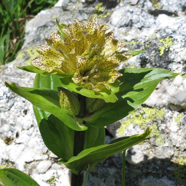
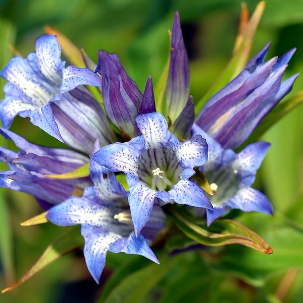
A tall plant 30–60 cm with a long leafy stem; flowers sit several in the leaf axils and appear at the end of summer.
Protection and rules
Listed in the Red Book of Ukraine (vulnerable). Admire, picking and digging up is prohibited. We do not publish exact locations.
Admire, don’t pick: plants listed in the Red Data Book of Ukraine — and any plants in nature reserves and strictly protected zones of national parks — must not be collected.
FAQ
What are the large blue bells growing on the rocks of Chornohora?
Most likely, it is stemless gentian: a solitary blue flower 5–7 cm almost stemless above the rosette of leaves. It is listed in the Red Book of Ukraine.
When does stemless gentian bloom?
In June — July, in the subalpine and alpine zones.
Similar species
Where to meet it
Trails
 EasyOne-dayMarkedNyzhnii Yalovets village Yarovytsia ridgeElevation profile867–1 463 m6.4 kmascent 607 m≈ 3 h walking
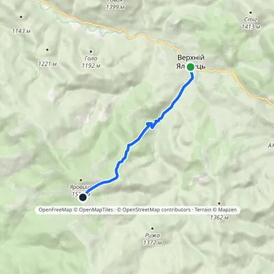 EasyOne-dayMarkedVerkhnii Yalovets village Mount YarovytsiaElevation profile973–1 424 m6.1 kmascent 452 m≈ 2.5 h walking
 ModerateOne-dayMarkedVerkhnii Yalovets village Mount YarovytsiaElevation profile973–1 574 m8.1 kmascent 648 m≈ 3.5 h walking
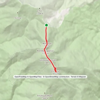 EasyOne-dayMarkedDragobrat loopvia Mount BlyznytsiaElevation profile1 545–1 883 m7.1 kmascent 547 m≈ 3 h walking
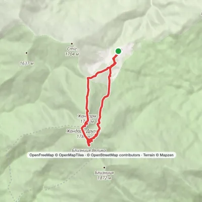 ModerateOne-dayDragobrat loopvia Mount BlyznytsiaElevation profile1 306–1 883 m10.1 kmascent 592 m≈ 3.5 h walking
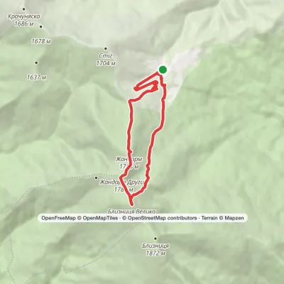 ModerateOne-dayDragobrat loopvia Mount Blyznytsia, Lake IzvorElevation profile1 333–1 883 m8.4 kmascent 634 m≈ 3.5 h walking
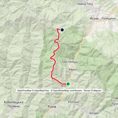 HardMulti-dayBilyn village to Dragobratvia Mount Blyznytsia, Mount StihElevation profile498–1 785 m26.5 kmascent 1 717 m≈ 10 h walking
 ModerateOne-dayDragobrat loopvia Mount Blyznytsia, Mount StihElevation profile1 335–1 883 m10.6 kmascent 742 m≈ 4 h walking
 ModerateOne-dayMarkedYasinia to Mount Blyznytsiavia DragobratElevation profile629–1 883 m13.2 kmascent 1 346 m≈ 6 h walking
 ModerateTwo-dayMarkedShepit village Mount YarovytsiaElevation profile858–1 574 m20.8 kmascent 898 m≈ 7 h walking
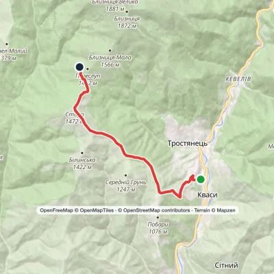 ModerateOne-dayMarkedKvasy village Mount PereslipElevation profile572–1 472 m10.2 kmascent 966 m≈ 4.5 h walking
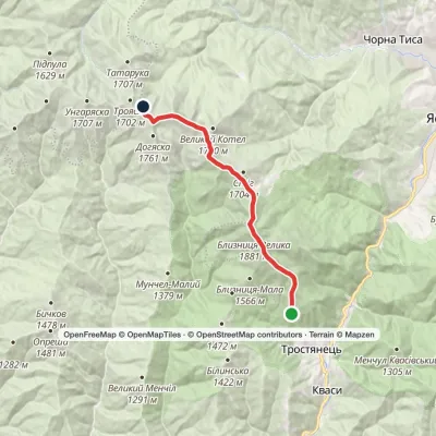 ModerateTwo-dayMarkedBraivka polonyna to Lake Apshynetsvia Mount BlyznytsiaElevation profile1 185–1 883 m16.2 kmascent 1 041 m≈ 6 h walking
Peaks and meadows
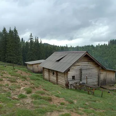 Mountain meadow1 031 mPolonyna DilKryvopilliaShepherds graze cows in the meadow. You can buy dairy products from the shepherds, as well as take part in a master...
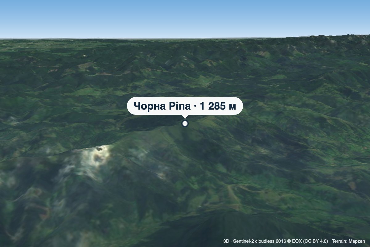 PeakMount Chorna RipaNovoselytsiaaltitude 1 285 m · Watershed Ridge range3 trails to the topChorna Ripa is a 1,285 m summit in the Eastern Beskids, on the Vododilnyi (Verkhovyna Watershed) Ridge.
 PeakMount Vysokyi Verkh, VolosyankaVolosiankaaltitude 1 242 m · Skole Beskids range2 trails to the topVysokyi Verkh is a mountain in the Ukrainian Carpathians, in the Skole Beskydy massif.
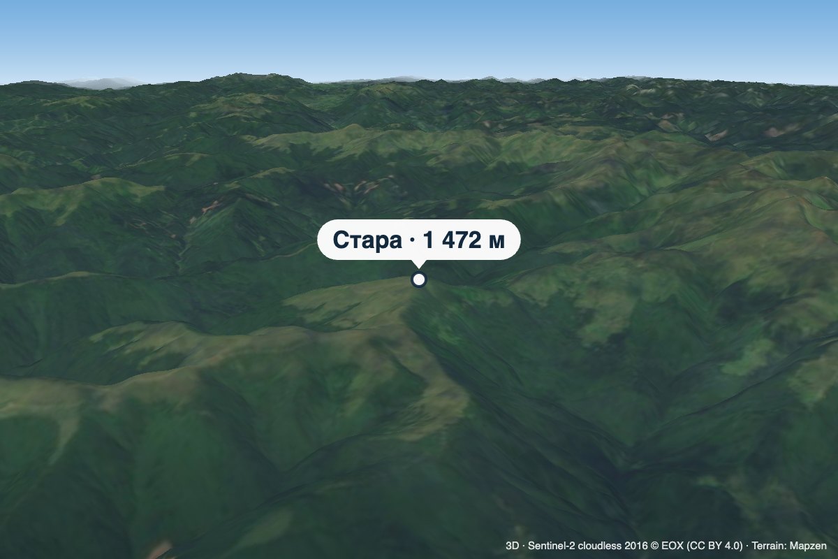 PeakMount StaraTrostyanetsaltitude 1 472 m · Svydovets rangeStara is a 1,472 m summit in the Svydovets range, in the Rakhiv district of Zakarpattia Oblast.
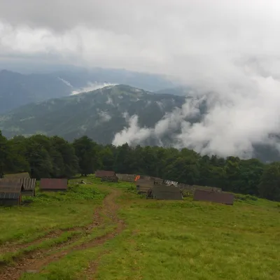 Mountain meadow1 350 mPolonyna BrailkaKvasyPolonyna Brailka (in some sources and on our site also Braivka) is a mountain pasture on the south-eastern slopes of...
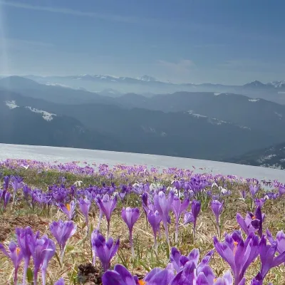 PeakMount Mala BlyznytsiaKvasyaltitude 1 566 m · Svydovets rangeMala Blyznytsia is a 1,566 m summit in the Svydovets range, in the Rakhiv district of Zakarpattia Oblast.
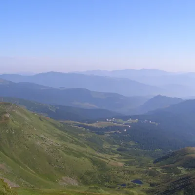 PeakMount Drahobrat (Zhandarm)Drahobrataltitude 1 763 m · Svydovets rangeDrahobrat, also called the First Zhandarm, is a 1,763 m mountain on the Urdu-Flavantuch ridge in the eastern part of...
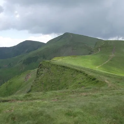 PeakMount BliznytsiaYasinyaaltitude 1 883 m · Svydovets range52 trails to the topBliznytsia (1883 m) is the highest peak of Svydovets, with two similar tops (1883 and 1872 m) above the Drahobrat...
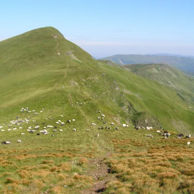 Mountain meadow1 780 mPolonyna BlyznytsiaKvasyBlyznytsia polonyna is the summit pastureland of the highest massif of Svydovets, in the Rakhiv district of Zakarpattia.
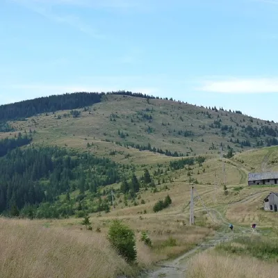 PeakMount YarovytsiaVerkhnyi Yalovetsaltitude 1 574 m8 trails to the topYarovytsia is the peak of the Yalovychora Mountains in the Ukrainian Carpathians, located on the Yarovets Ridge ,...
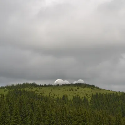 Mountain meadow1 565 mMount Tomnatyk (Yalovychory)SarataTomnatyk is a 1,565 m mountain in the Yalovychory Mountains, on the Tomnatykul ridge.
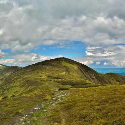 PeakMount DantsizhBystretsaltitude 1 850 m · Chornohora range89 trails to the topDantsizh (also known as Danzer) is a peak of the Ukrainian Carpathians, 1850 meters high.
Waters and waterfalls
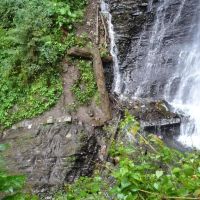 WaterfallZhenetsky Hook waterfallMykulychynZhenetskyi Huk is one of the most convenient Carpathian waterfalls for tourists, as it is accessible by a direct,...
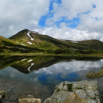 LakeHigh-mountainous Lake Nesamovite (1750 m.a.s.l., Chornohora ridge)VorokhtaNesamovyte is one of the highest lakes in the Ukrainian Carpathians (1750 m above sea level).
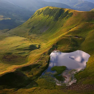 LakeLake Gereshaska (Dogyaska)YasinyaGerashaska (another name - Dogyaska ) is a high-mountain lake in the Ukrainian Carpathians, within the Rakhiv...
Mountain ranges: Chornohora, Svydovets, Gorgany, Hryniava Mountains, Maramureș Mountains, Skole Beskids. In other countries: 🇷🇴 Bihor-Vlădeasa Mountains, 🇸🇰 Western Tatras, 🇷🇴 Hășmaș Mountains, 🇨🇿 Moravian-Silesian Beskids
Trails and peaks near which naturalists recorded the species (GBIF, iNaturalist), matched by altitude and habitat. Sightings are not guaranteed.
Sources
- Вікіпедія: Тирлич безстеблий
- Wikipedia (en): Gentiana acaulis
- Наказ Міндовкілля від 15.02.2021 № 111: Перелік видів рослин та грибів, що заносяться до Червоної книги України
- GBIF: список рослин і грибів Червоної книги України за наказом № 111 (з категоріями)
- iNaturalist: Gentiana acaulis (спостереження в Карпатах)
GBIF · iNaturalist · Wikidata · Distribution data: GBIF.org (CC0 and CC BY records), iNaturalist; names and identifiers: Wikidata (CC0). Text: Karpaty.rocks, checked 09.11.2026.
