Spotted gentian
About
The Spotted gentian is a resident of the subalpine zone. In the mountains of Central and Southeastern Europe, it grows at altitudes of approximately 1500–2600 m, while in the Ukrainian Carpathians, it remains only in small patches on the ridges of Chornohora, Svydovets, in Gorgany, and the Hutsul Alps. It occurs on grassy slopes and mountain meadows, occasionally in thickets of crooked forest.
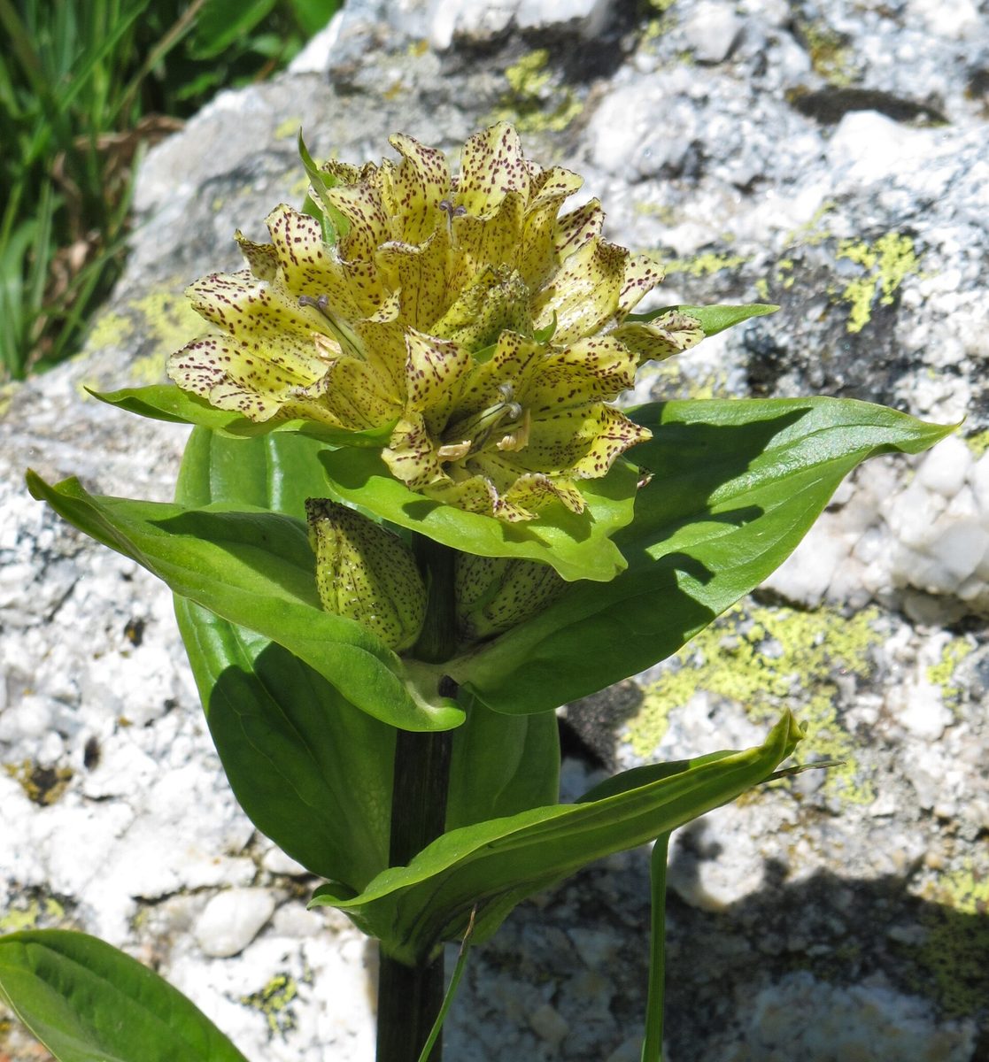
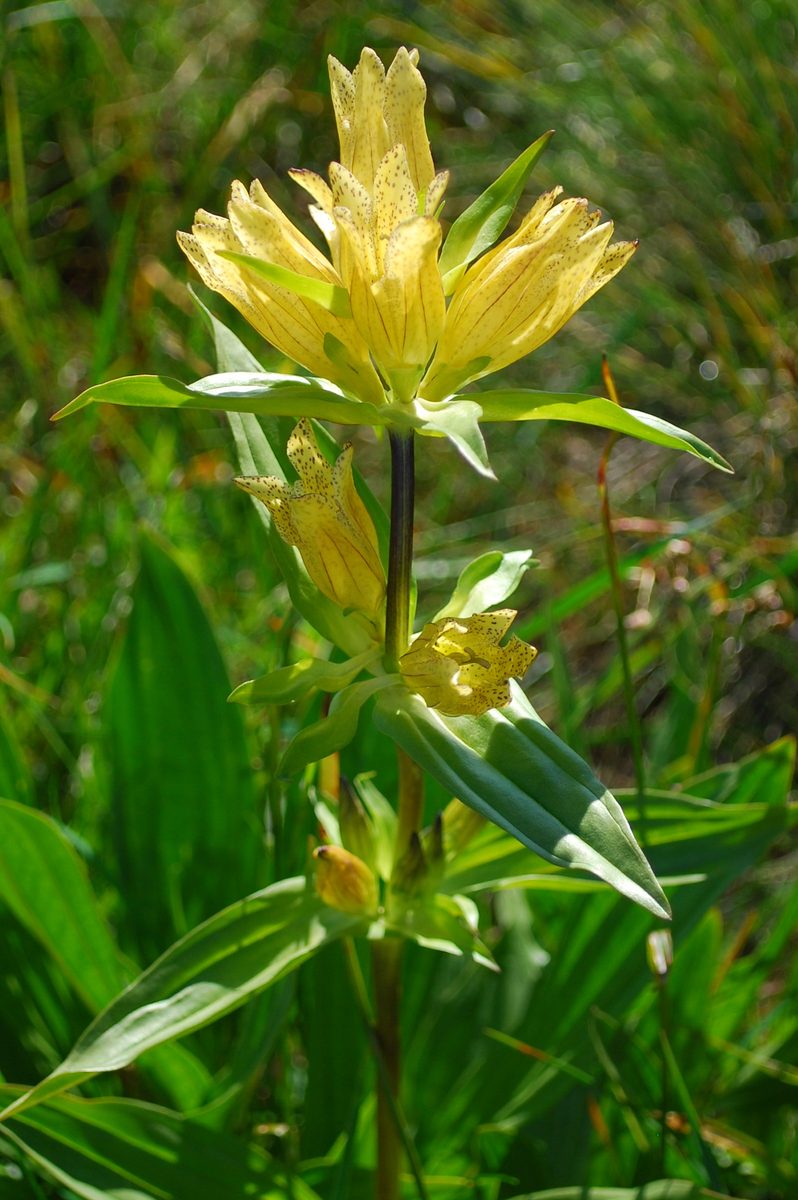
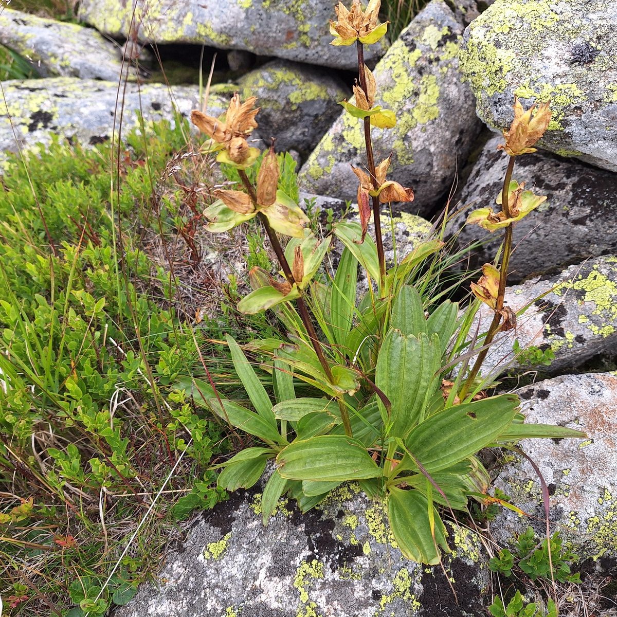
The plant is 20–60 cm tall, with a thick rhizome. The leaves are opposite, oval, with arcuate veins. The flowers are bell-shaped, pale yellow, densely covered with dark purple spots, sitting almost without pedicels in the axils of the upper leaves and at the top of the stem. It blooms in July — August.
The natural populations of this plant in Ukraine have been depleted, so the species is listed in the Red Book of Ukraine with a status of 'vulnerable'. In Poland, it is also under strict protection, and in the mountains of Europe, it is generally considered a common species.
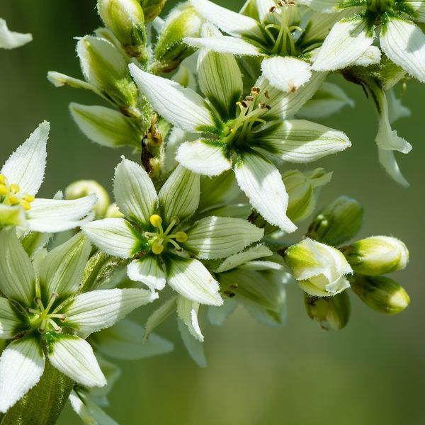
Before blooming, the Spotted gentian can easily be confused with the white hellebore — a deadly poisonous plant of the same polonyna. The gentian has opposite, paired, smooth leaves; the hellebore has alternate, spirally arranged, folded, and hairy leaves underneath. The Spotted gentian is protected, so collecting any parts of the plant is prohibited, and the hellebore should not be touched due to its toxicity. We do not publish exact locations where rare plants grow — only the ridges. Enjoy the flowers and take photos without stepping off the marked trail.
Where in the Carpathians

The map shows where naturalists recorded the species (GBIF, CC0 and CC BY records), not every place it lives. The Ukrainian Carpathians are less studied, so a blank area does not mean the species is absent.
- Countries
- Slovakia · Poland · Ukraine · Romania
- Mountain ranges
- High Tatras, Western Tatras, Low Tatras, Chornohora, Belianske Tatras, Żywiec Beskids, Maramureș Mountains, Retezat Mountains, Făgăraș Mountains, Parâng Mountains
- Altitude belts
- Conifer forests (1200–1600 m) · Subalpine belt (1600–1900 m) · Alpine belt (above 1900 m)
When to see it
| Jan | Feb | Mar | Apr | May | Jun | Jul | Aug | Sep | Oct | Nov | Dec | |
|---|---|---|---|---|---|---|---|---|---|---|---|---|
| Flowering | ||||||||||||
| Fruit |
From naturalists’ observations in the Carpathians (iNaturalist, research grade): the darker the cell, the more often the species is seen that month.
Safety
Do not confuse with white hellebore: it is deadly poisonous and has similar leaves before blooming.
Look-alikes — how to tell them apart
Leaves are alternate, spirally arranged, folded, and hairy underneath; flowers are whitish-green in a large panicle. In the gentian, leaves are opposite and smooth.
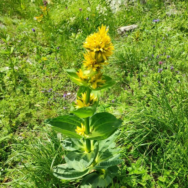
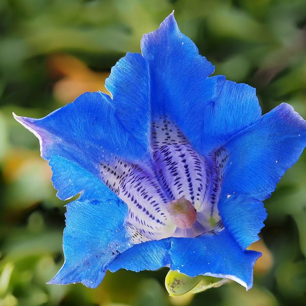
A taller plant, up to 1.5 m; flowers are bright yellow, with a deeply lobed corolla, without spots, gathered in whorls. Also a species in the Red Book of Ukraine.
Protection and rules
Listed in the Red Book of Ukraine (vulnerable). Enjoy, collecting and digging up is prohibited. Exact locations are not published.
Admire, don’t pick: plants listed in the Red Data Book of Ukraine — and any plants in nature reserves and strictly protected zones of national parks — must not be collected.
FAQ
Where does the Spotted gentian grow in Ukraine?
Only in the highlands of the Carpathians: in small patches in the subalpine zone on Chornohora, Svydovets, in Gorgany, and the Hutsul Alps.
Is it allowed to dig up the root of the gentian?
No. The Spotted gentian, like the Yellow gentian, is listed in the Red Book of Ukraine, so collecting and digging it up is prohibited.
Similar species
Where to meet it
Trails
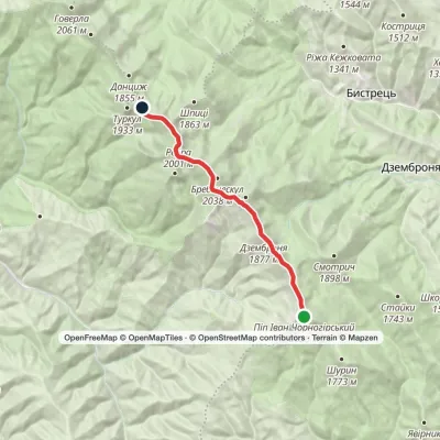 ModerateOne-dayMarkedMount Pip Ivan Chornohirskyi to Lake Nesamovytevia Mount Dzembronia, Mount RebraElevation profile1 742–2 028 m13.3 kmascent 329 m≈ 4 h walking
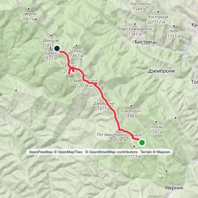 ModerateTwo-dayMarkedVesnarka polonyna to Lake Nesamovytevia Mount Pip Ivan Chornohirskyi, Mount RebraElevation profile1 505–2 028 m18.3 kmascent 1 092 m≈ 7 h walking
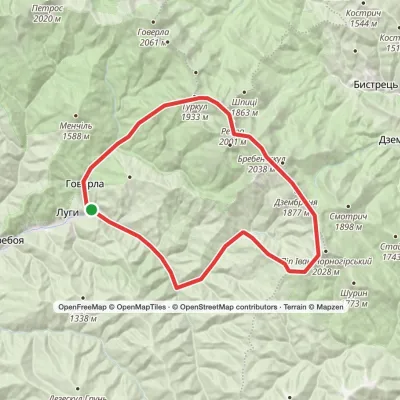 HardMulti-dayLuhy village to Hoverla villagevia Mount Pip Ivan Chornohirskyi, Mount Dzembronia +2Elevation profile646–2 035 m38.9 kmascent 2 326 m
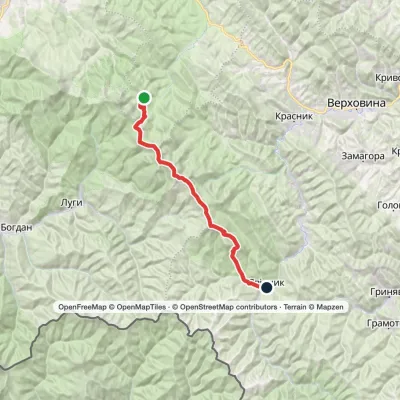 HardMulti-dayMarkedZaroslyak base to Shybene villagevia Mount Turkul, Mount Dzembronia +1Elevation profile853–2 028 m31.1 kmascent 1 297 m≈ 10.5 h walking
 HardMulti-dayMarkedShybene village to Zaroslyak basevia Mount Pip Ivan Chornohirskyi, Lake Nesamovyte +1Elevation profile854–2 035 m29.6 kmascent 1 996 m≈ 11.5 h walking
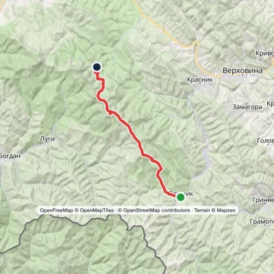 HardMulti-dayMarkedShybene village to Zaroslyak basevia Mount Pip Ivan Chornohirskyi, Mount Brebeneskul +1Elevation profile854–2 035 m30.9 kmascent 1 716 m≈ 11 h walking
 ModerateOne-dayMarkedZaroslyak base Mount ShpytsiElevation profile1 134–1 863 m6.9 kmascent 743 m≈ 3 h walking
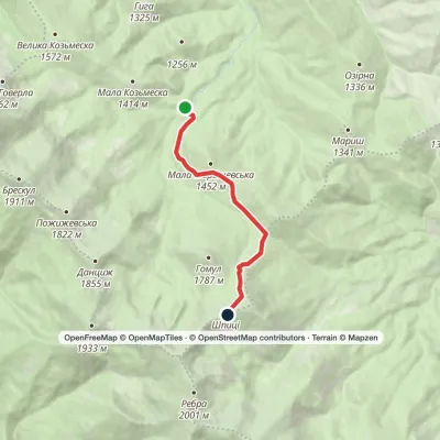 EasyOne-dayMarkedZaroslyak base Mount ShpytsiElevation profile1 128–1 863 m6.1 kmascent 758 m≈ 3 h walking
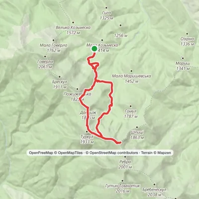 ModerateTwo-dayMarkedZaroslyak base loopvia Mount Dantsizh, Mount Turkul +1Elevation profile1 261–1 929 m17.5 kmascent 840 m≈ 6 h walking
 ModerateTwo-dayMarkedZaroslyak base loopvia Mount Hoverla, Lake NesamovyteElevation profile1 242–2 061 m16.9 kmascent 1 095 m≈ 6.5 h walking
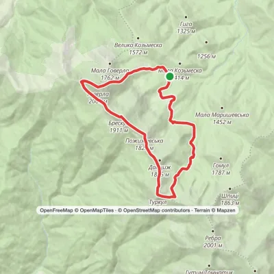 ModerateTwo-dayMarkedZaroslyak base loopvia Lake Nesamovyte, Mount HoverlaElevation profile1 260–2 061 m17.6 kmascent 1 185 m≈ 7 h walking
 ModerateTwo-dayMarkedZaroslyak base loopvia Lake Nesamovyte, Hoverla WaterfallElevation profile1 261–1 911 m17.4 kmascent 830 m≈ 6 h walking
Peaks and meadows
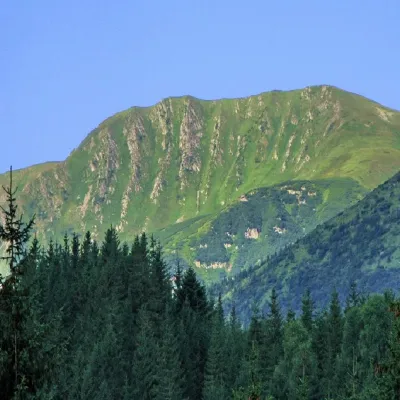 PeakMount RebraBystretsaltitude 2 001 m · Chornohora range91 trails to the topRebra (2001 m) is a peak in the central part of the main Chornohora ridge, on the border of the Ivano-Frankivsk and...
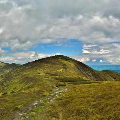 PeakMount DantsizhBystretsaltitude 1 850 m · Chornohora range89 trails to the topDantsizh (also known as Danzer) is a peak of the Ukrainian Carpathians, 1850 meters high.
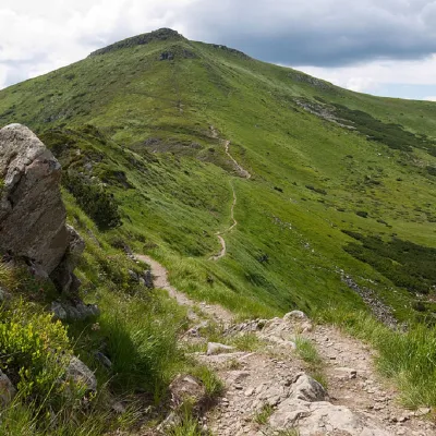 PeakMount TurkulBystretsaltitude 1 933 m · Chornohora range93 trails to the topTurkul, 1933 meters high, is one of the peaks of the Ukrainian Carpathians, located in the Chornohora mountain range.
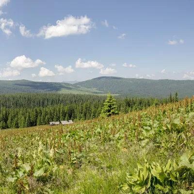 PeakMount PalenicaNyzhnyi Yalovetsaltitude 1 749 m · Chyvchyny rangePalenytsia is a 1749-meter peak (according to other information, the height of the mountain reaches 1758 m) of the...
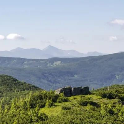 PeakHnatasya MountainYavirnyk (Shybene)altitude 1 766 m · Chyvchyny rangeMount Hnatasya, 1766 meters high, is a peak in the Ukrainian Carpathians.
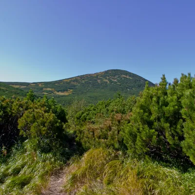 PeakMount GomulBystretsaltitude 1 788 m · Chornohora range15 trails to the topGomul (also known by another name - Khomul) is a 1788-meter peak in the Ukrainian Carpathians, which is located in...
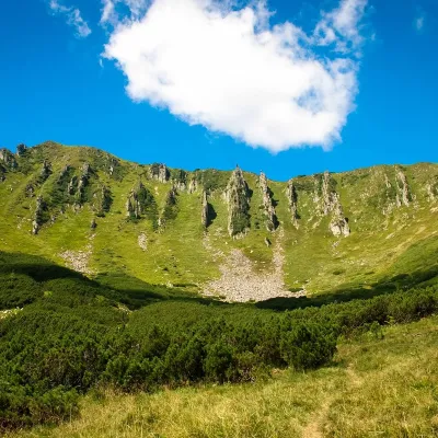 PeakMount ShpytsiBystretsaltitude 1 863 m · Chornohora range35 trails to the topShpytsi (1863 m) is a rocky peak on a north-eastern spur of Chornohora; its slopes are ringed by rows of crags 20–50...
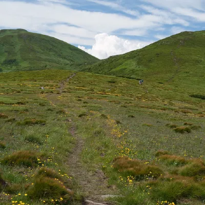 PeakMount PozhyzhevskaBystretsaltitude 1 822 m · Chornohora range83 trails to the topMount Pozhyzhevska (or Pozhezhevska) is one of the peaks of the Ukrainian Carpathians.
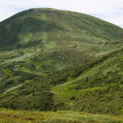 PeakMount BreskulBystretsaltitude 1 911 m · Chornohora range80 trails to the topBreskul (another name for the mountain is Bretskul), 1911 meters high, is a famous mountain peak in the Ukrainian...
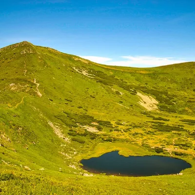 PeakMount Gutin TomnatikBystretsaltitude 2 016 m · Chornohora range79 trails to the topGutin Tomnatik (2016 m) is the fifth highest mountain in Ukraine, on a south-western spur of Chornohora in the...
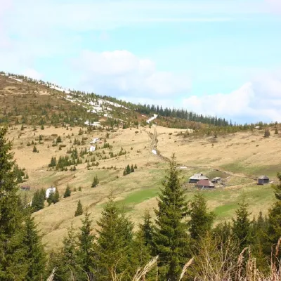 PeakMount PnivieHramotnealtitude 1 586 m · Hryniava Mountains range4 trails to the topPnivie (also known as Pnevi and Pnevie) is a 1586-meter peak in the Hryniavskyi mountain range of the Ukrainian...
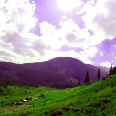 Mountain meadowPolonyna GadzhinaBystretsIt seemed that the Chornohora massif was literally crowded with people, but sometimes you can come across places that...
Waters and waterfalls
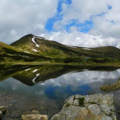 LakeHigh-mountainous Lake Nesamovite (1750 m.a.s.l., Chornohora ridge)VorokhtaNesamovyte is one of the highest lakes in the Ukrainian Carpathians (1750 m above sea level).
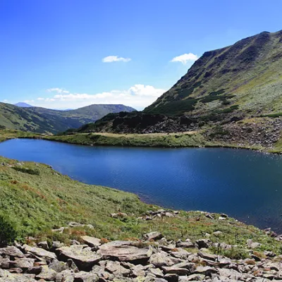 LakeLake BrebeneskulLuhyBrebeneskul is the highest mountain lake in the Ukrainian Carpathians (1801 m above sea level), a hydrological...
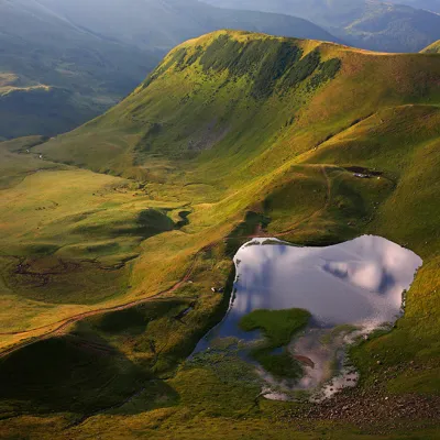 LakeLake Gereshaska (Dogyaska)YasinyaGerashaska (another name - Dogyaska ) is a high-mountain lake in the Ukrainian Carpathians, within the Rakhiv...
Mountain ranges: Chornohora, Maramureș Mountains, Svydovets. In other countries: 🇸🇰 High Tatras, 🇸🇰 Western Tatras, 🇸🇰 Low Tatras, 🇸🇰 Belianske Tatras, 🇵🇱 Żywiec Beskids, 🇷🇴 Retezat Mountains, 🇷🇴 Făgăraș Mountains, 🇷🇴 Parâng Mountains, 🇵🇱 Babia Góra, 🇸🇰 Lesser Fatra
Trails and peaks near which naturalists recorded the species (GBIF, iNaturalist), matched by altitude and habitat. Sightings are not guaranteed.
Sources
- Вікіпедія: Тирлич крапчастий
- Wikipedia (en): Gentiana punctata
- Наказ Міндовкілля від 15.02.2021 № 111: Перелік видів рослин та грибів, що заносяться до Червоної книги України
- GBIF: список рослин і грибів Червоної книги України за наказом № 111 (з категоріями)
- Rozporządzenie Ministra Środowiska z 9.10.2014 w sprawie ochrony gatunkowej roślin, Dz.U. 2014 poz. 1409 (Польща)
- iNaturalist: Gentiana punctata (спостереження в Карпатах)
GBIF · iNaturalist · Wikidata · Distribution data: GBIF.org (CC0 and CC BY records), iNaturalist; names and identifiers: Wikidata (CC0). Text: Karpaty.rocks, checked 09.11.2026.
