Alpine bellflower
About
The Alpine bellflower is a true high-mountain plant. The species is found in the Eastern Alps, the Carpathians, and the mountains of the Balkan Peninsula; in the Tatras, it grows from approximately 1450 m to the highest peaks. In the Ukrainian Carpathians, it is quite a common plant of the highlands of Świdowiec, Chornohora, the Chivchyny Mountains, and the Maramureș Massif. It thrives in alpine and subalpine meadows, rocks, and stony places, ascending to the very peaks.
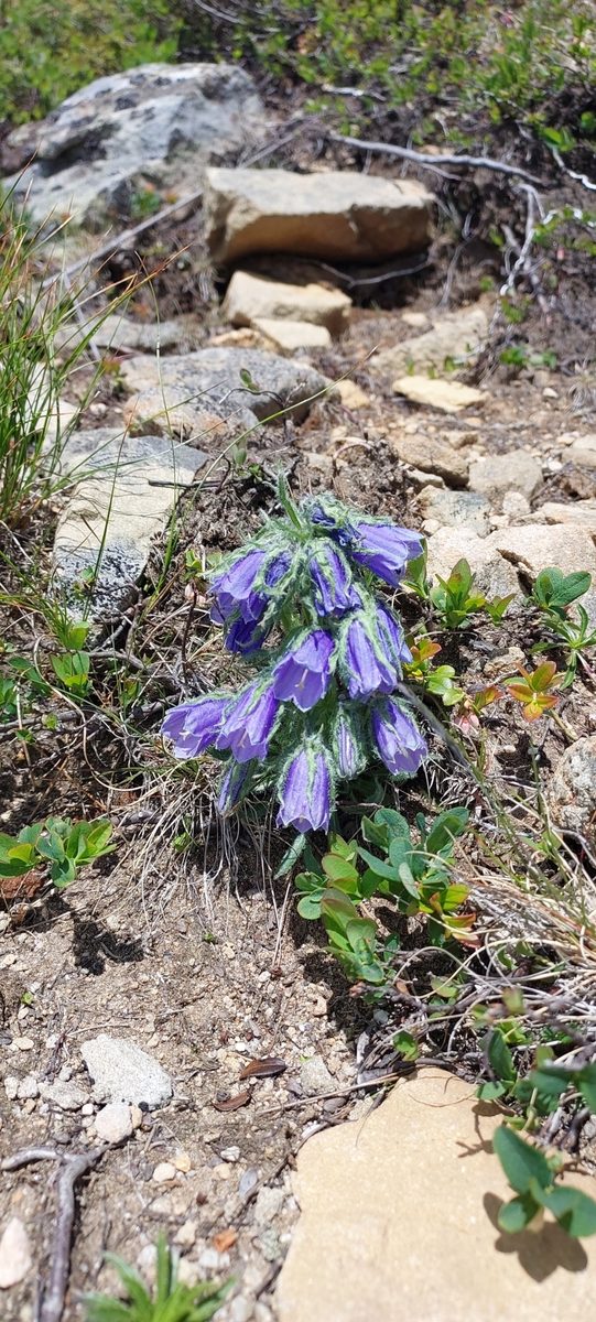
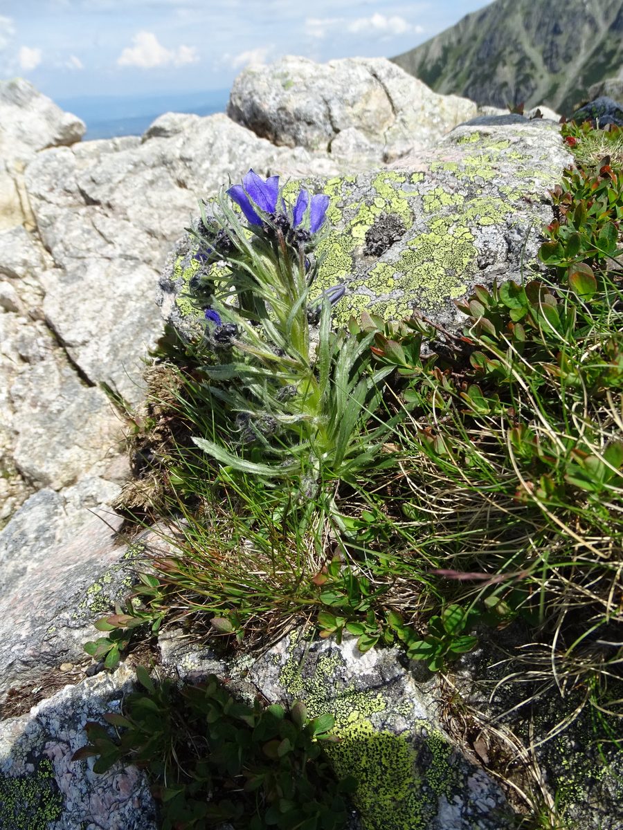
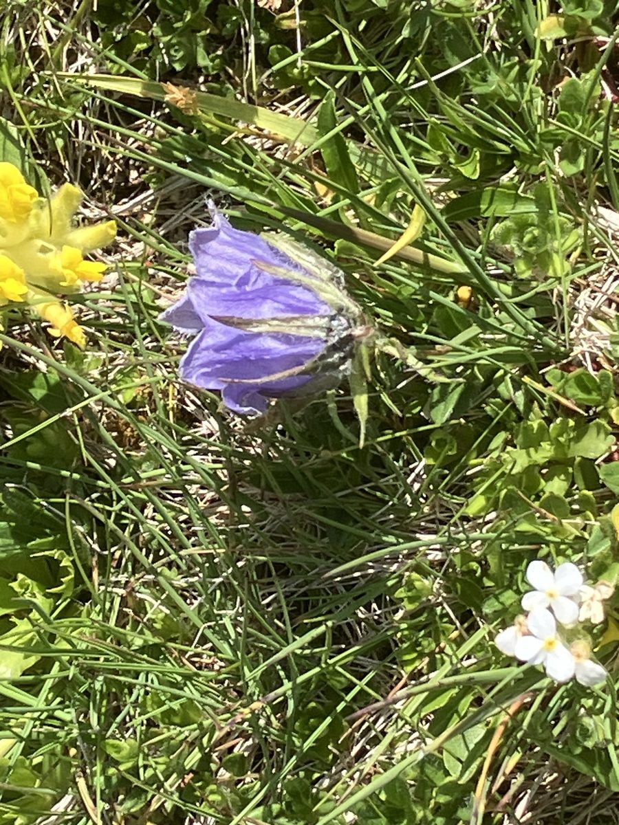
The plant is small, 5–20 cm tall. The basal leaves are elongated, narrowing into a petiole, while the stem leaves are narrow and sessile. The flowers are drooping, narrowly bell-shaped, blue, and are gathered in a raceme along the stem; the sepals are noticeably longer than half of the corolla. It blooms in June – July. The flowers are pollinated by insects, and the seeds are dispersed by the wind.
Botanists classify the Alpine bellflower as a southern Central European high-mountain species: it is a plant of the subalpine and alpine zones, adapted to the short mountain summer. It is biennial or perennial, and its seeds are spread by wind and self-dispersal.
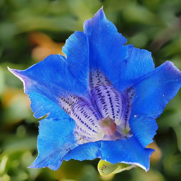
The species is not listed in the Red Book of Ukraine, but it grows in the Chornohora and Maramureș Massifs of the Carpathian Biosphere Reserve, in the Carpathian National Nature Park, and other protected areas where picking plants is prohibited. The Alpine bellflower differs from the Carpathian bellflowers, which are listed in the Red Book, by its drooping narrow flowers gathered in a raceme; in Carpathian bellflowers, the flower is solitary, broadly open, and faces upwards.
Where in the Carpathians

The map shows where naturalists recorded the species (GBIF, CC0 and CC BY records), not every place it lives. The Ukrainian Carpathians are less studied, so a blank area does not mean the species is absent.
- Countries
- Slovakia · Romania · Ukraine · Poland
- Mountain ranges
- Western Tatras, High Tatras, Low Tatras, Belianske Tatras, Făgăraș Mountains, Chornohora, Svydovets, Bucegi Mountains, Retezat Mountains, Parâng Mountains
- Altitude belts
- Subalpine belt (1600–1900 m) · Alpine belt (above 1900 m)
When to see it
| Jan | Feb | Mar | Apr | May | Jun | Jul | Aug | Sep | Oct | Nov | Dec | |
|---|---|---|---|---|---|---|---|---|---|---|---|---|
| Flowering | ||||||||||||
| Fruit |
From naturalists’ observations in the Carpathians (iNaturalist, research grade): the darker the cell, the more often the species is seen that month.
Look-alikes — how to tell them apart
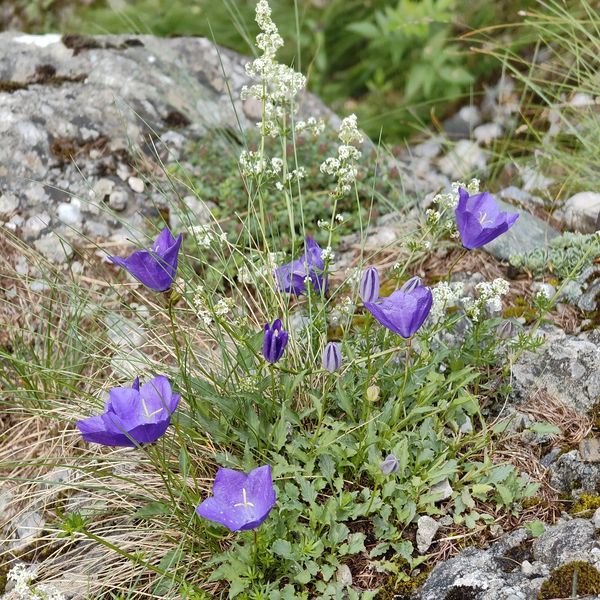
The flower is solitary, broadly cup-shaped, and faces upwards; it grows on limestone rocks of lower zones. A species in the Red Book of Ukraine.
Protection and rules
Not listed in the Red Book of Ukraine. It grows in the Carpathian Biosphere Reserve and the Carpathian National Park, where picking plants is prohibited.
FAQ
Where do Alpine bellflowers grow in Ukraine?
Only in the highlands of the Carpathians: on Świdowiec, Chornohora, in the Chivchyny Mountains, and the Maramureș Massif, in alpine and subalpine meadows and rocks.
How do Alpine bellflowers differ from Carpathian bellflowers?
In Alpine bellflowers, the flowers are drooping, narrow, and gathered in a raceme. In Carpathian bellflowers, the flower is solitary, broadly open, and faces upwards.
Similar species
Where to meet it
Trails
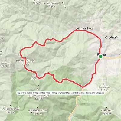 HardMulti-dayYasinia loopvia Dragobrat, Mount Stih +2Elevation profile625–1 771 m46.2 kmascent 1 512 m
 HardMulti-dayDragobrat to Krasna villagevia Mount Stih, Mount Velykyi Kotel +2Elevation profile421–1 762 m35.3 kmascent 871 m≈ 10.5 h walking
 HardMulti-dayMarkedBystrytsia village to Yasiniavia Mount Bratkivska, Okole Pass +3Elevation profile625–1 788 m54.1 kmascent 2 070 m
 HardMulti-dayChorna Tysa village to Kvasy villagevia Dragobrat, Lake Vorozheska +3Elevation profile631–1 771 m36.6 kmascent 1 728 m≈ 12.5 h walking
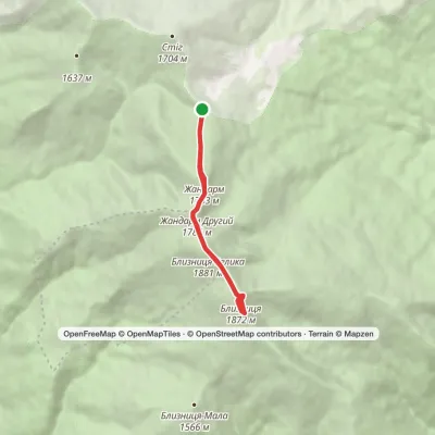 EasyOne-dayMarkedDragobrat loopvia Mount BlyznytsiaElevation profile1 545–1 883 m7.1 kmascent 547 m≈ 3 h walking
 HardMulti-dayDragobrat to Chorna Tysa villagevia Mount Velykyi Kotel, Mount Lohiaska +1Elevation profile731–1 762 m30 kmascent 1 319 m≈ 10 h walking
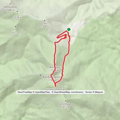 ModerateOne-dayDragobrat loopvia Mount Blyznytsia, Lake IzvorElevation profile1 333–1 883 m8.4 kmascent 634 m≈ 3.5 h walking
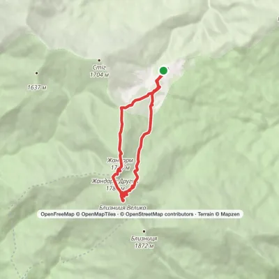 ModerateOne-dayDragobrat loopvia Mount BlyznytsiaElevation profile1 306–1 883 m10.1 kmascent 592 m≈ 3.5 h walking
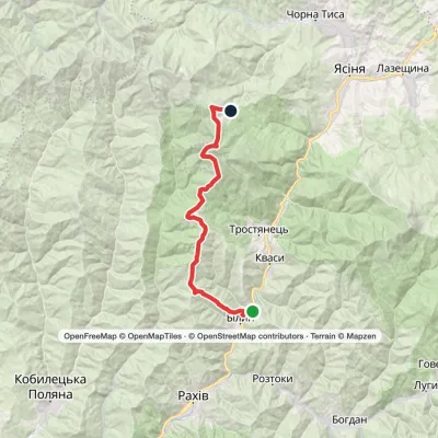 HardMulti-dayBilyn village to Dragobratvia Mount Blyznytsia, Mount StihElevation profile498–1 785 m26.5 kmascent 1 717 m≈ 10 h walking
 ModerateOne-dayDragobrat loopvia Mount Blyznytsia, Mount StihElevation profile1 335–1 883 m10.6 kmascent 742 m≈ 4 h walking
 ModerateOne-dayMarkedYasinia to Mount Blyznytsiavia DragobratElevation profile629–1 883 m13.2 kmascent 1 346 m≈ 6 h walking
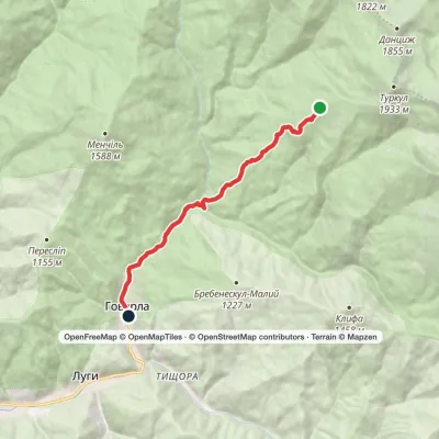 EasyOne-dayMarkedTurkulska polonyna Hoverla villageElevation profile672–1 541 m8.5 kmascent 17 m≈ 2 h walking
Peaks and meadows
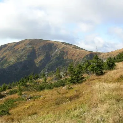 PeakMount Velykyi KotelYasinyaaltitude 1 771 m · Svydovets range39 trails to the topMount Velykyi Kotel is the peak of the Ukrainian Carpathians, which lies within the Svydovets mountain range.
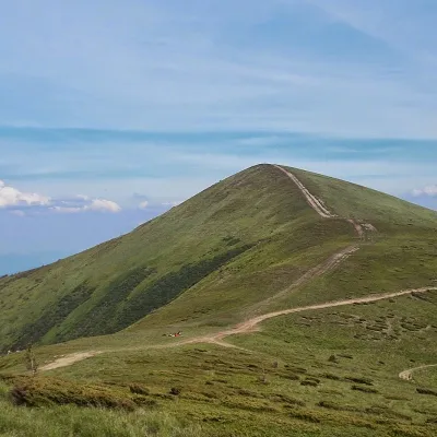 PeakMount Stih (Dragobrat)Yasinyaaltitude 1 704 m · Svydovets range43 trails to the topStih (1704 m; locals say "Stuh") is a peak in the north-eastern part of Svydovets, right above the Drahobrat resort.
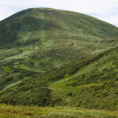 PeakMount BreskulBystretsaltitude 1 911 m · Chornohora range80 trails to the topBreskul (another name for the mountain is Bretskul), 1911 meters high, is a famous mountain peak in the Ukrainian...
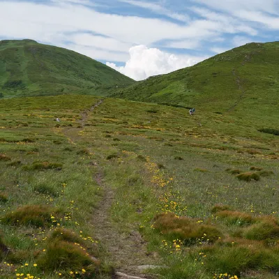 PeakMount PozhyzhevskaBystretsaltitude 1 822 m · Chornohora range83 trails to the topMount Pozhyzhevska (or Pozhezhevska) is one of the peaks of the Ukrainian Carpathians.
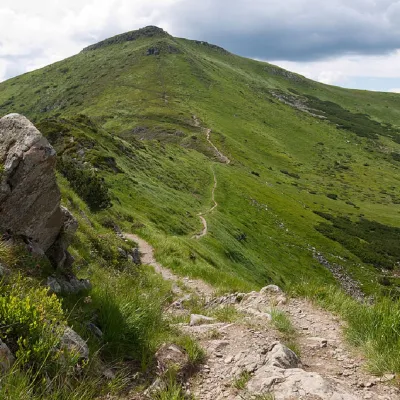 PeakMount TurkulBystretsaltitude 1 933 m · Chornohora range93 trails to the topTurkul, 1933 meters high, is one of the peaks of the Ukrainian Carpathians, located in the Chornohora mountain range.
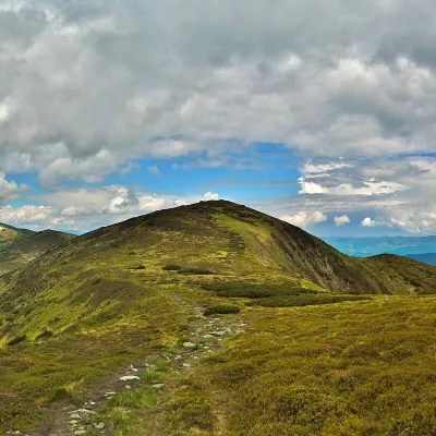 PeakMount DantsizhBystretsaltitude 1 850 m · Chornohora range89 trails to the topDantsizh (also known as Danzer) is a peak of the Ukrainian Carpathians, 1850 meters high.
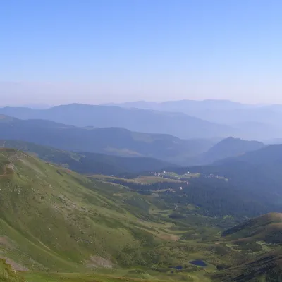 PeakMount Drahobrat (Zhandarm)Drahobrataltitude 1 763 m · Svydovets rangeDrahobrat, also called the First Zhandarm, is a 1,763 m mountain on the Urdu-Flavantuch ridge in the eastern part of...
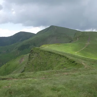 PeakMount BliznytsiaYasinyaaltitude 1 883 m · Svydovets range52 trails to the topBliznytsia (1883 m) is the highest peak of Svydovets, with two similar tops (1883 and 1872 m) above the Drahobrat...
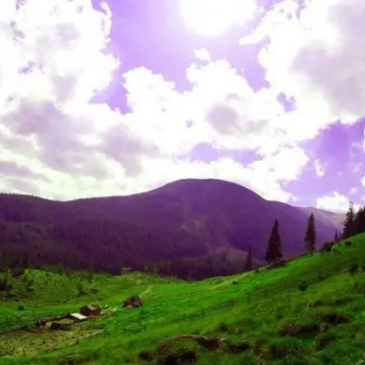 Mountain meadowPolonyna GadzhinaBystretsIt seemed that the Chornohora massif was literally crowded with people, but sometimes you can come across places that...
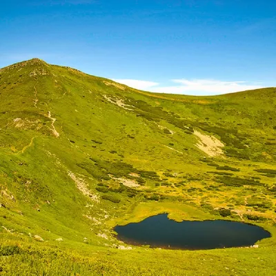 PeakMount Gutin TomnatikBystretsaltitude 2 016 m · Chornohora range79 trails to the topGutin Tomnatik (2016 m) is the fifth highest mountain in Ukraine, on a south-western spur of Chornohora in the...
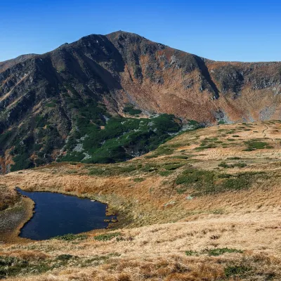 Mountain meadow1 820 mPolonyna BrebeneskaLuhyBrebeneska Polonyna is a high mountain pasture on the south-western, Transcarpathian side of the main Chornohora...
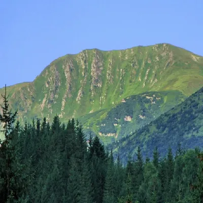 PeakMount RebraBystretsaltitude 2 001 m · Chornohora range91 trails to the topRebra (2001 m) is a peak in the central part of the main Chornohora ridge, on the border of the Ivano-Frankivsk and...
Waters and waterfalls
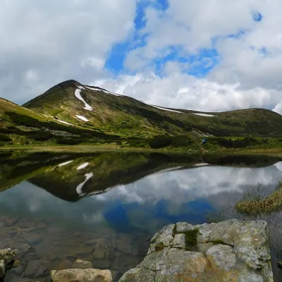 LakeHigh-mountainous Lake Nesamovite (1750 m.a.s.l., Chornohora ridge)VorokhtaNesamovyte is one of the highest lakes in the Ukrainian Carpathians (1750 m above sea level).
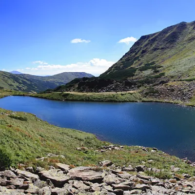 LakeLake BrebeneskulLuhyBrebeneskul is the highest mountain lake in the Ukrainian Carpathians (1801 m above sea level), a hydrological...
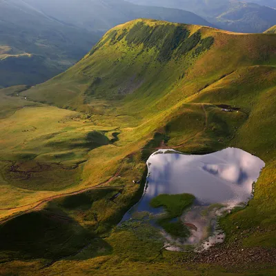 LakeLake Gereshaska (Dogyaska)YasinyaGerashaska (another name - Dogyaska ) is a high-mountain lake in the Ukrainian Carpathians, within the Rakhiv...
Mountain ranges: Chornohora, Svydovets, Maramureș Mountains. In other countries: 🇸🇰 Western Tatras, 🇸🇰 High Tatras, 🇸🇰 Low Tatras, 🇸🇰 Belianske Tatras, 🇷🇴 Făgăraș Mountains, 🇷🇴 Bucegi Mountains, 🇷🇴 Retezat Mountains, 🇷🇴 Parâng Mountains, 🇷🇴 Rodna Mountains
Trails and peaks near which naturalists recorded the species (GBIF, iNaturalist), matched by altitude and habitat. Sightings are not guaranteed.
Sources
- Вікіпедія: Дзвоники альпійські
- Wikipedia (en): Campanula alpina
- Наказ Міндовкілля від 15.02.2021 № 111: Перелік видів рослин та грибів, що заносяться до Червоної книги України
- GBIF: список рослин і грибів Червоної книги України за наказом № 111 (з категоріями)
- iNaturalist: Campanula alpina (спостереження в Карпатах)
GBIF · iNaturalist · Wikidata · Distribution data: GBIF.org (CC0 and CC BY records), iNaturalist; names and identifiers: Wikidata (CC0). Text: Karpaty.rocks, checked 09.11.2026.
