Red campion
About
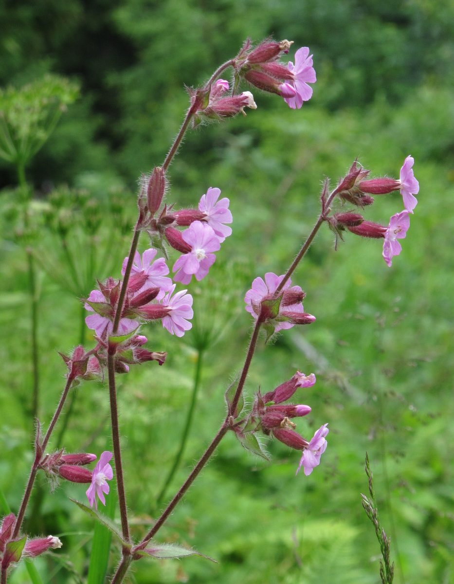
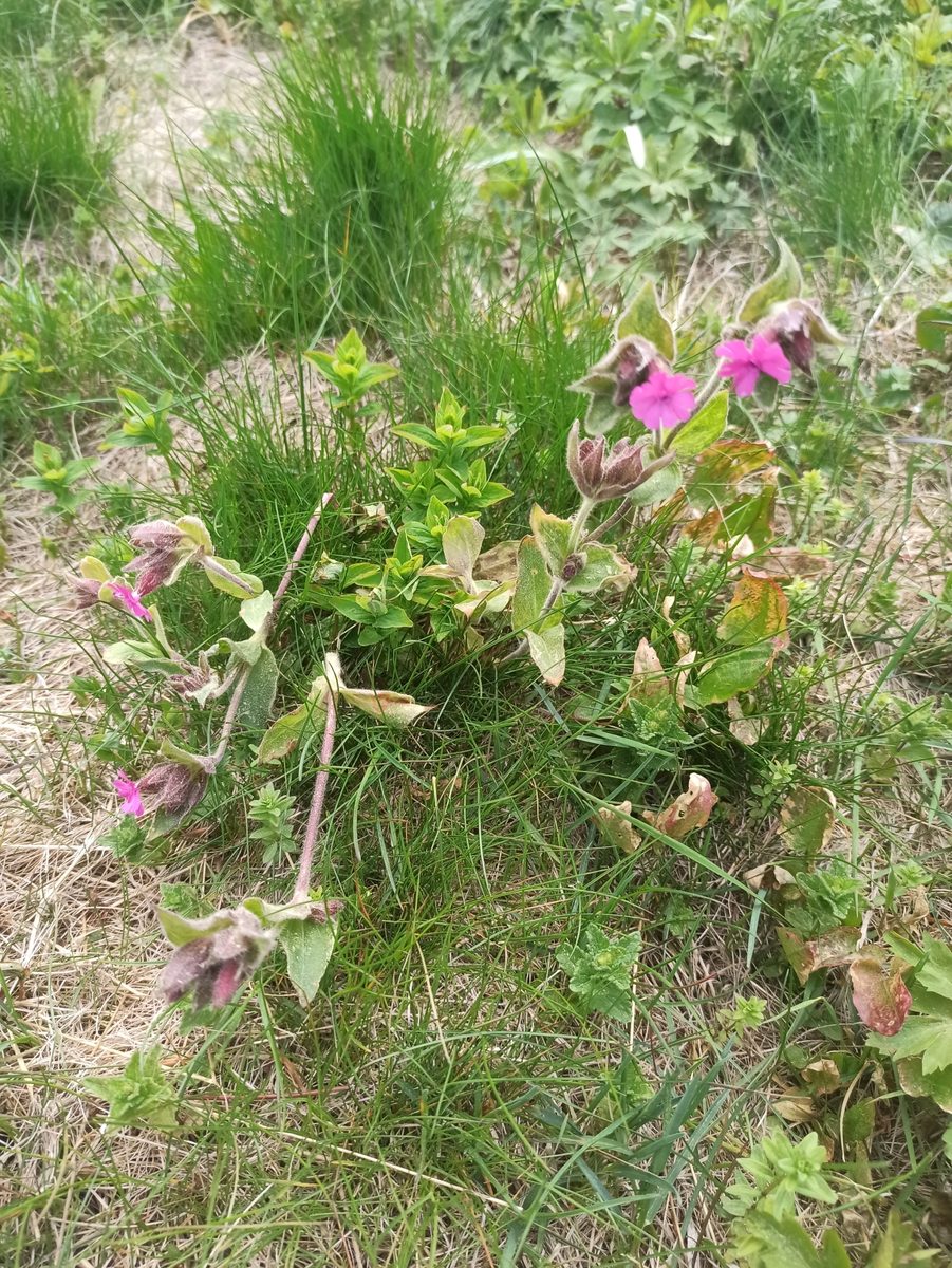
Red campion is a softly hairy herb 30–90 cm tall. The leaves are opposite, ovate, pointed, with the lower ones on petioles. The flowers are bright pink or raspberry-red, 1.5–2.5 cm in diameter. Each of the five petals is deeply divided in two, and at the entrance to the flower, there is a crown of white teeth. The calyx is swollen, hairy, and often reddish.
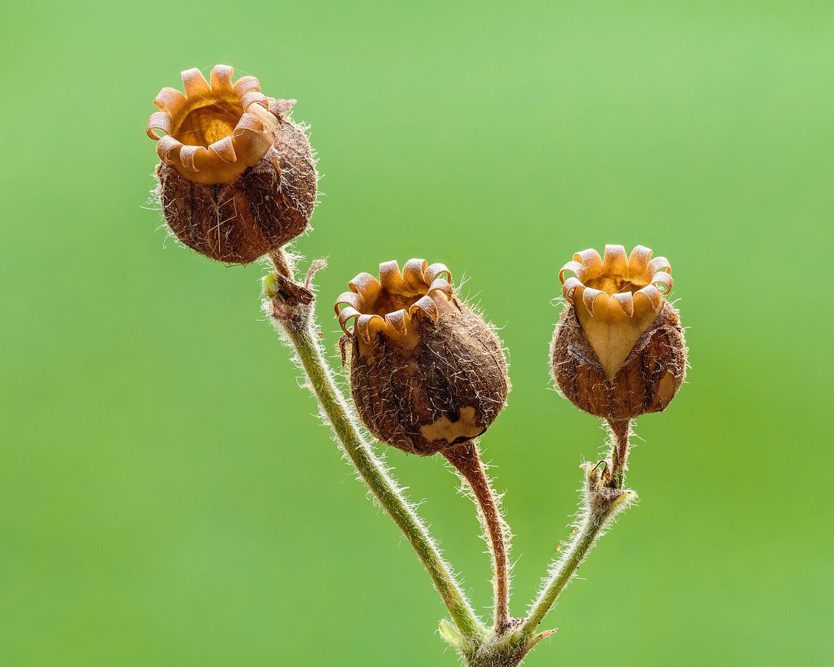
The name 'dioica' means that male and female flowers develop on different plants. In males, the calyx is narrower, with ten veins, while in females, it is wider and more swollen, and after flowering, a capsule with bent teeth ripens inside.
Red campion blooms from May to September, with some plants flowering until frost. The flowers are open during the day and are scentless, pollinated by bumblebees and day-flying butterflies.
In the Carpathians, it is a common plant of wet meadows, forest edges, stream banks, forest roads, and tall grass areas—from the foothills to the subalpine zone. It prefers nutrient-rich soils, thriving near Sadyba, sheepfolds, and stables, alongside nettles and alpine sorrel.
At lower elevations, a similar species, Silene latifolia, grows. It has white flowers that open in the evening and are fragrant. Where both species grow together, hybrids with pale pink flowers can be found.
Where in the Carpathians

Orange — where naturalists recorded the species (GBIF, CC0/CC BY); a blank area does not mean it is absent.
- Countries
- Ukraine · Slovakia · Czechia · Poland · Romania · Hungary · Austria
- Mountain ranges
- Bieszczady. In other countries: 🇸🇰 Lesser Fatra, 🇨🇿 Moravian-Silesian Beskids, 🇸🇰 Low Tatras, 🇸🇰 High Tatras, 🇸🇰 Greater Fatra, 🇸🇰 Western Tatras, 🇸🇰 Slovak Ore Mountains, 🇸🇰 Belianske Tatras, 🇸🇰 Volovec Mountains, 🇵🇱 Żywiec Beskids, 🇸🇰 Kysuce Beskids, 🇸🇰 Strážov Mountains, 🇸🇰 Slovak Paradise
- Altitude belts
- Foothills (below 600 m) · Beech forests (600–1200 m) · Conifer forests (1200–1600 m)
When to see it
| Jan | Feb | Mar | Apr | May | Jun | Jul | Aug | Sep | Oct | Nov | Dec | |
|---|---|---|---|---|---|---|---|---|---|---|---|---|
| Flowering | ||||||||||||
| Fruit |
From naturalists’ observations in the Carpathians (iNaturalist, research grade): the darker the cell, the more often the species is seen that month.
Protection and rules
Not listed in the Red Data Book of Ukraine.
FAQ
What is the bright pink flower that grows by Carpathian streams?
Often it is Red campion: it has five petals, each deeply divided in two, and a swollen hairy calyx.
Why is Red campion called dioica?
Because its male and female flowers develop on different plants.
Comments
Travellers’ experience: reports, tips, questions.
No one has written here yet. Be the first — your experience helps others.
Similar species
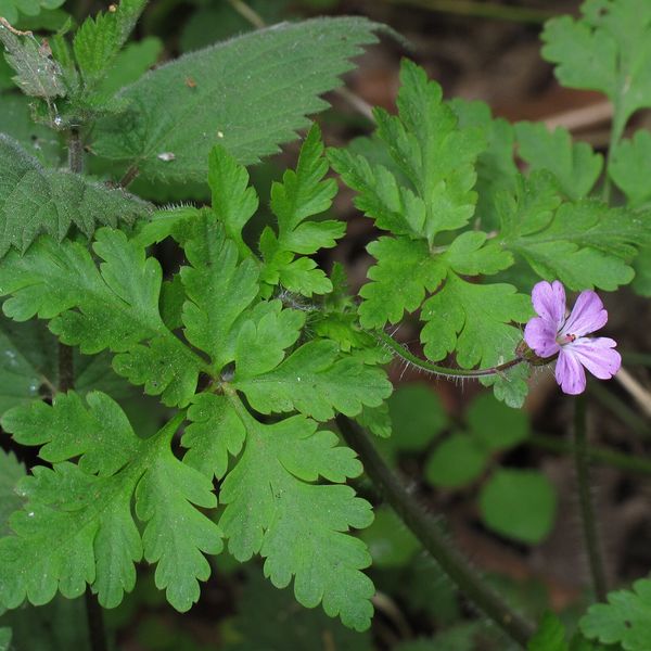
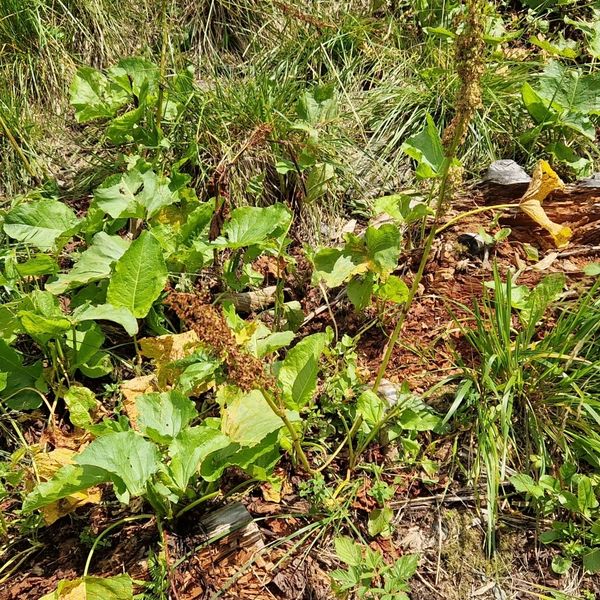
Where to meet it
Trails
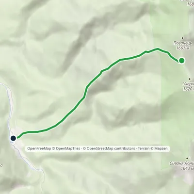 EasyOne-dayMarkedMount Ukernia Mount Serednia MehlaElevation profile883–1 616 m5.1 km≈ 1.5 h walking
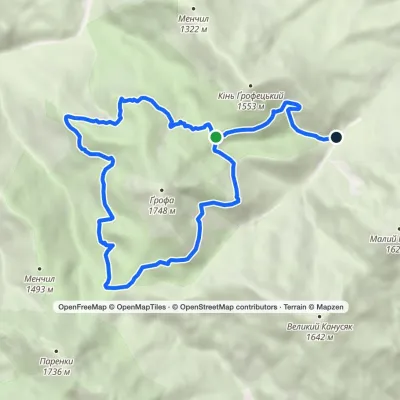 ModerateOne-dayMarkedEco-trail around Mount GrofaElevation profile914–1 472 m13.6 kmascent 302 m≈ 4 h walking
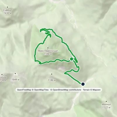 EasyOne-dayMarkedEco-trail around Yayko PerehinskeElevation profile827–1 400 m11.3 kmascent 235 m≈ 3 h walking
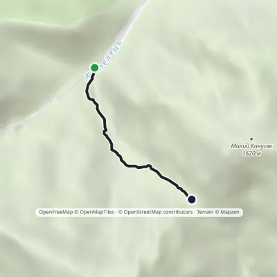 EasyOne-dayMarkedTrail to Velykyi and Malyi KanusiakElevation profile964–1 364 m1.8 kmascent 400 m≈ 1 h walking
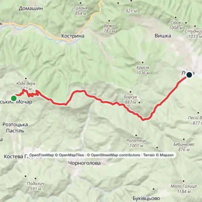 ModerateOne-dayRuskyi Mochar village to Liuta villagevia Mount Yavirnyk, Batsova Yama tractElevation profile327–1 017 m20.6 kmascent 782 m≈ 6.5 h walking
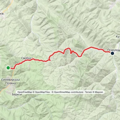 Hard1–2 daysMarkedLake Synevyr to Osmoloda villagevia Svoboda village, Hycha polonyna +1Elevation profile725–1 721 m32.9 kmascent 1 034 m≈ 10 h walking
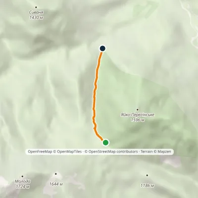 EasyOne-dayMarkedTo Mount Yaiko-PerehinskeElevation profile978–1 369 m2 kmascent 391 m≈ 1 h walking
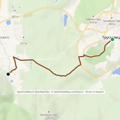 EasyOne-dayMarkedSalt Road: Truskavets Bukovytsia resortElevation profile351–438 m5.4 kmascent 101 m≈ 1.5 h walking
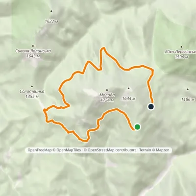 ModerateOne-dayMarkedMount Moloda traverseElevation profile1 362–1 483 m11.7 kmascent 241 m≈ 3.5 h walking
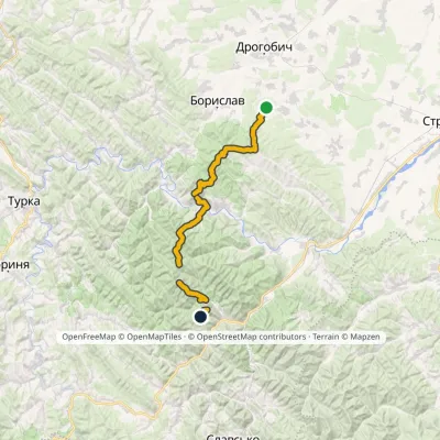 HardTwo-dayMarkedNo. 1 Truskavets SekulElevation profile349–1 213 m44.2 kmascent 2 747 m
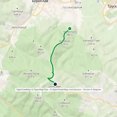 EasyOne-dayMarkedTsiukhiv Dil: Bukovytsia resort viewing tower (VeloBeskydy)Elevation profile552–939 m6.3 kmascent 387 m≈ 2 h walking
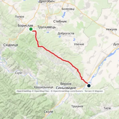 HardOne-dayMarkedNo. 506 Boryslav RozghircheElevation profile347–808 m30.2 kmascent 557 m≈ 8.5 h walking
Peaks and meadows
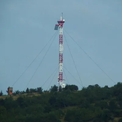 PeakMount Horodyshche (Boryslav)Boryslavaltitude 646 mHorodyshche (646 m; other sources give 641.8 m) is a hill in the Upper Dniester Beskids and the highest point of the...
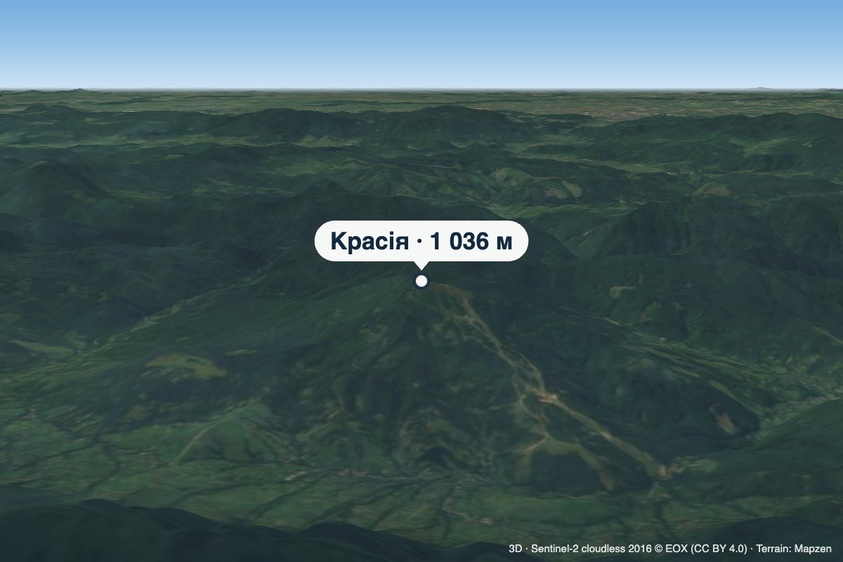 PeakMount KrasiiaVyshkaaltitude 1 036 mKrasiia is a 1,036 m mountain in the Eastern Beskids above the village of Vyshka in the Uzhhorod (formerly Velykyi...
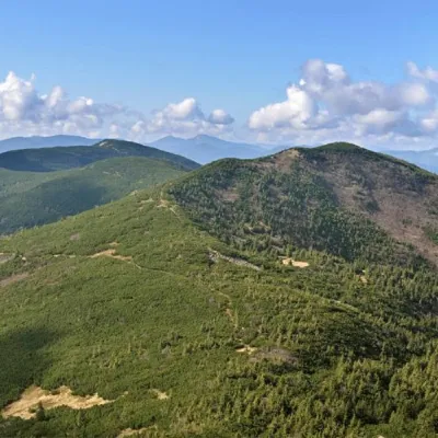 PeakMount Yayko-PereginskeOsmolodaaltitude 1 595 m · Gorgany range8 trails to the topYayko-Perehinske (the mountain got its name because of its characteristic shape, which resembles an egg from a...
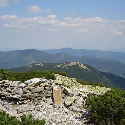 PeakMount Kin GrofetskyOsmolodaaltitude 1 552 m · Gorgany range9 trails to the topMount Kin Grofetskyi is a 1,552-meter peak of the Ukrainian Carpathians.
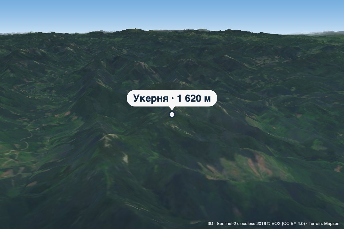 PeakMount UkerniaMyslivkaaltitude 1 620 m · Gorgany rangeUkernia is a 1,620 m summit in the western Gorgany, in Ivano-Frankivsk Oblast, on the ridge between the Svicha and...
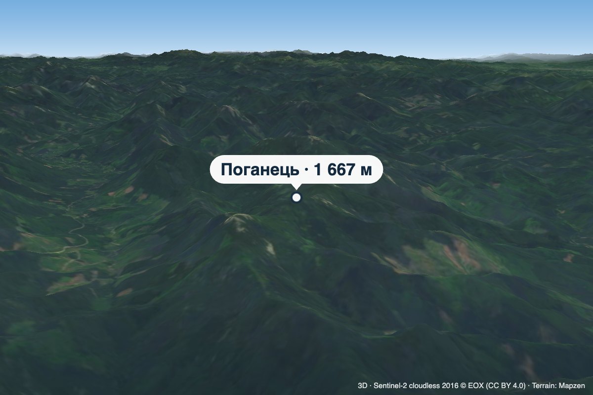 PeakMount PohanetsMyslivkaaltitude 1 667 m1 trail to the topPohanets is a 1,667 m summit in the western Gorgany, in the Kalush district of Ivano-Frankivsk Oblast (formerly...
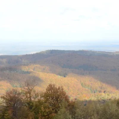 PeakMount BobovyshcheOrivaltitude 817 m4 trails to the topBobovyshche (also called Popivska) is an 817 m mountain in the Upper Dniester Beskids, Lviv Oblast.
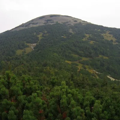 PeakMount Yayko-IlemskeMyslivkaaltitude 1 680 m · Gorgany range7 trails to the topMount Yayko-Ilemske is the peak of the Ukrainian Carpathians, located in the western part of the Gorgan mountain range.
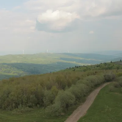 PeakMount TsiukhivOrivaltitude 939 m · Gorgany range6 trails to the topTsiukhiv (also Tsiukhiv Dil or Tsiukhiv Verkh) is a 939 m mountain (939.4 m exactly; old maps give 942 m or 931 m) in...
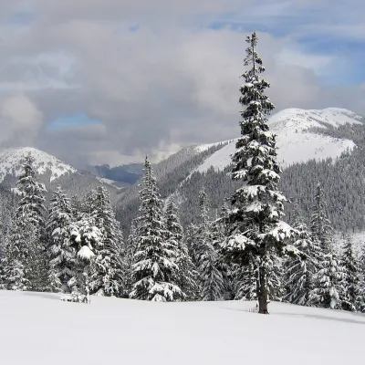 PeakMount Malyi KanusiakOsmolodaaltitude 1 620 m · Gorgany rangeMalyi Kanusiak is a 1,620 m peak of the Gorgany range in the Kalush district of Ivano-Frankivsk Oblast.
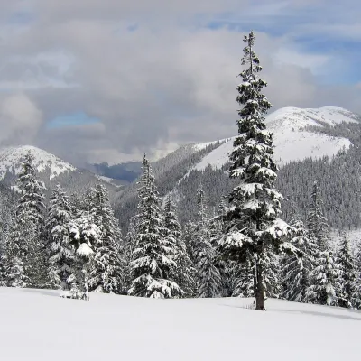 PeakMount Velykyi KanusiakOsmolodaaltitude 1 642 m · Gorgany range1 trail to the topVelykyi Kanusiak (Great Kanusiak) is a 1,642 m summit in the Gorgany. It lies in the Kalush district of Ivano...
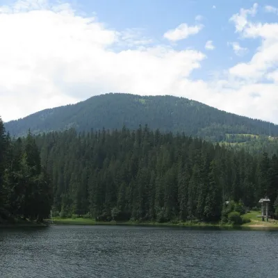 PeakOzerna MountainSynevyraltitude 1 496 m6 trails to the topMount Ozerna (+1496 meters) rises above Lake Synevyr. The ascent begins in the village of Torun.
Waters and waterfalls
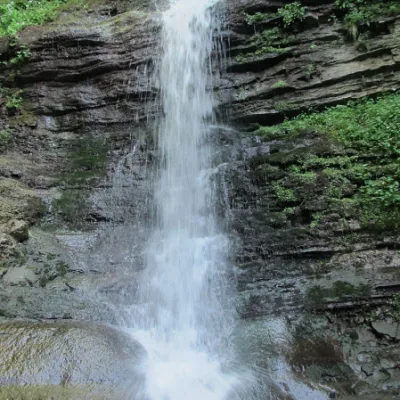 WaterfallLazny waterfallDrohobych districtLaznyi is a waterfall in the Ukrainian Carpathians (in the Skole Beskydy massif), a hydrological natural monument of...
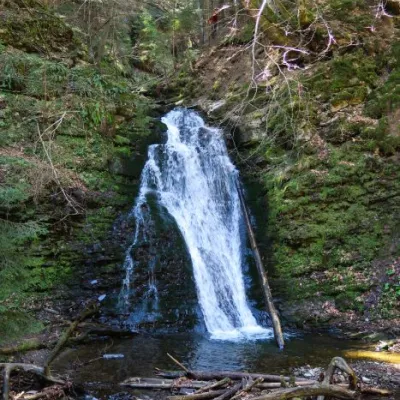 WaterfallSopit waterfallSopitSopit (Sopitsky ) is a waterfall in the Ukrainian Carpathians on the territory of the Skole Beskydy National Nature...
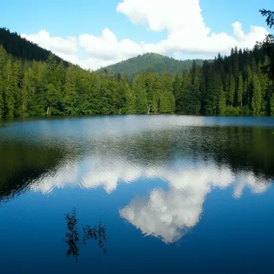 LakeSynevyr Lake Synevyrska PolyanaSynevyrska PolyanaLake Synevyr, located on the territory of the National Nature Park of the same name in Mizhhirya district of...
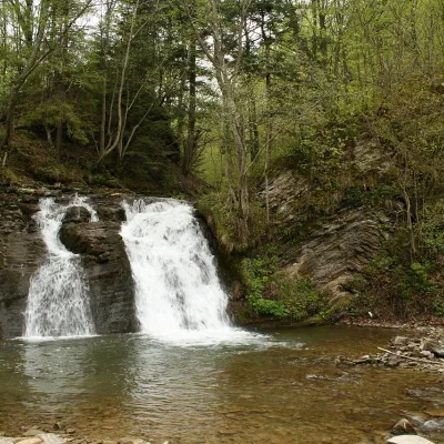 WaterfallGurkalo waterfallKorchynGurkal, located on the Velyka Richka River, has a very eloquent name! You can't argue with it, especially when the...
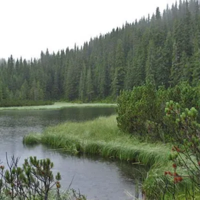 LakeLake MaricheykaYavirnyk (Shybene)Lake Maricheyka is one of the most picturesque high-altitude glacial lakes in the Carpathians, located on the...
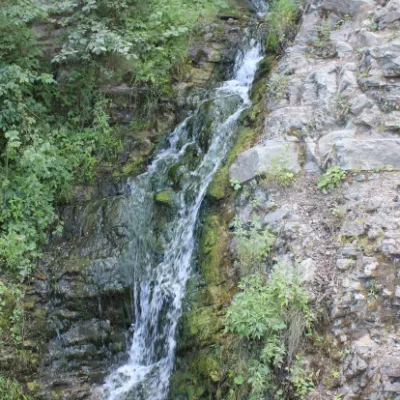 WaterfallSykavka waterfallVelykyi RozhynSykavka Waterfall is a waterfall located near the Sokilsky Rocks, also between the villages of Tyudiv and Velykyi...
Mountain ranges: Bieszczady. In other countries: 🇸🇰 Lesser Fatra, 🇨🇿 Moravian-Silesian Beskids, 🇸🇰 Low Tatras, 🇸🇰 High Tatras, 🇸🇰 Greater Fatra, 🇸🇰 Western Tatras, 🇸🇰 Slovak Ore Mountains, 🇸🇰 Belianske Tatras, 🇸🇰 Volovec Mountains, 🇵🇱 Żywiec Beskids, 🇸🇰 Kysuce Beskids, 🇸🇰 Strážov Mountains, 🇸🇰 Slovak Paradise
Trails and peaks near which naturalists recorded the species (GBIF, iNaturalist), matched by altitude and habitat. Sightings are not guaranteed.
Sources
- Вікіпедія: Смілка червона
- Wikipedia (en): Silene dioica
- iNaturalist: Silene dioica (спостереження в Карпатах)
GBIF · iNaturalist · Wikidata · Distribution data: GBIF.org (CC0 and CC BY records), iNaturalist; names and identifiers: Wikidata (CC0). Text: Karpaty.rocks, checked 11.11.2026.
