Fireweed (rosebay willowherb)
About
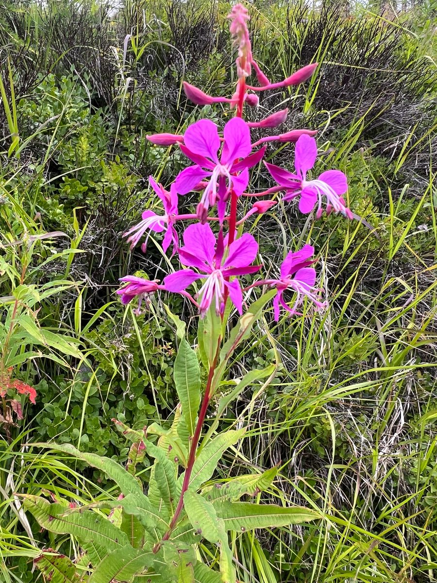
Fireweed, known as ivan-chai, is a plant of open disturbed places. It is the first to colonize clearings, burn sites, windfalls, forest road edges, and forest margins, forming dense purple-pink thickets. Under its canopy, moisture accumulates, and eventually, other plants begin to grow there. The English name fireweed is related to the fact that it abundantly settles in burn sites after forest fires.
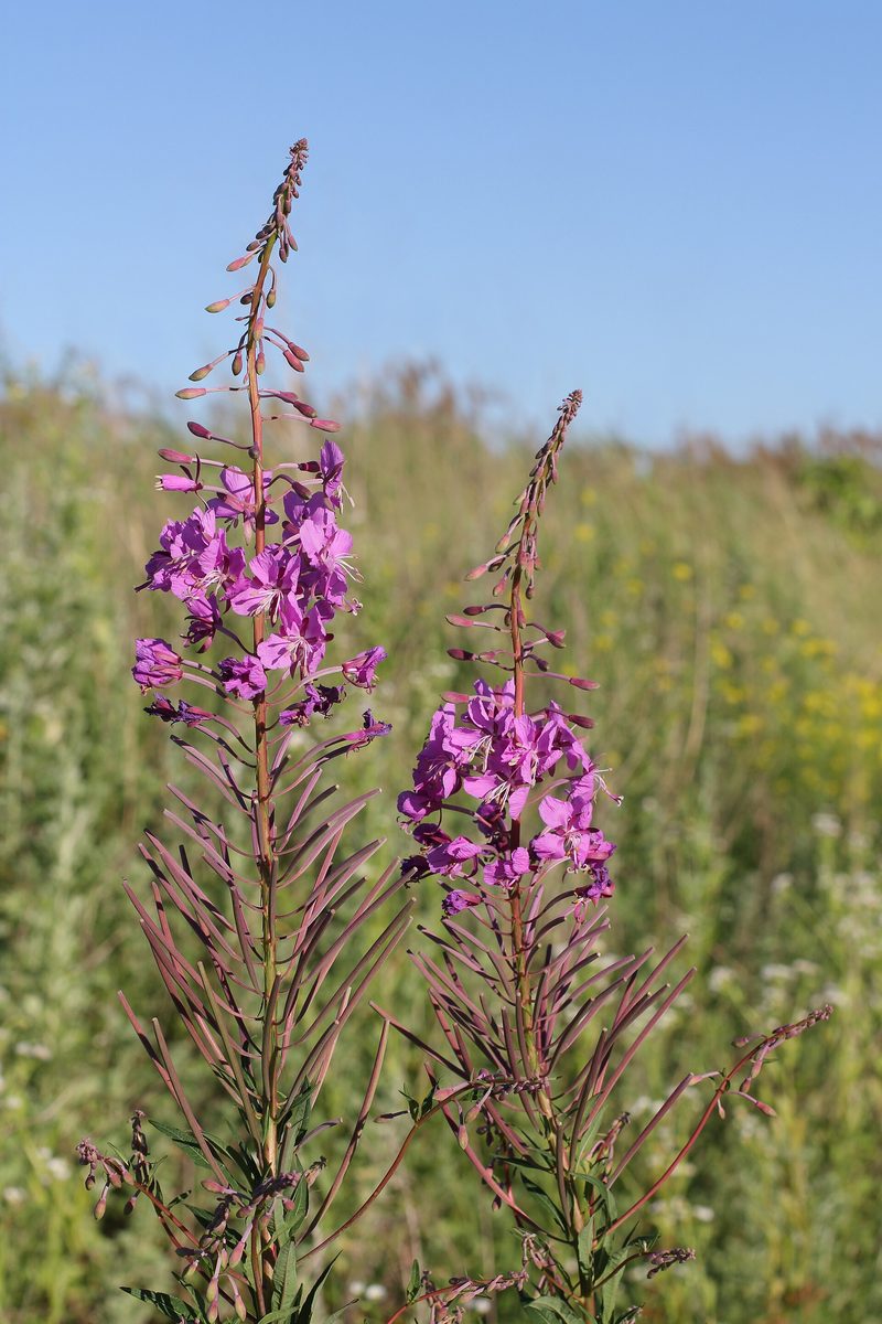
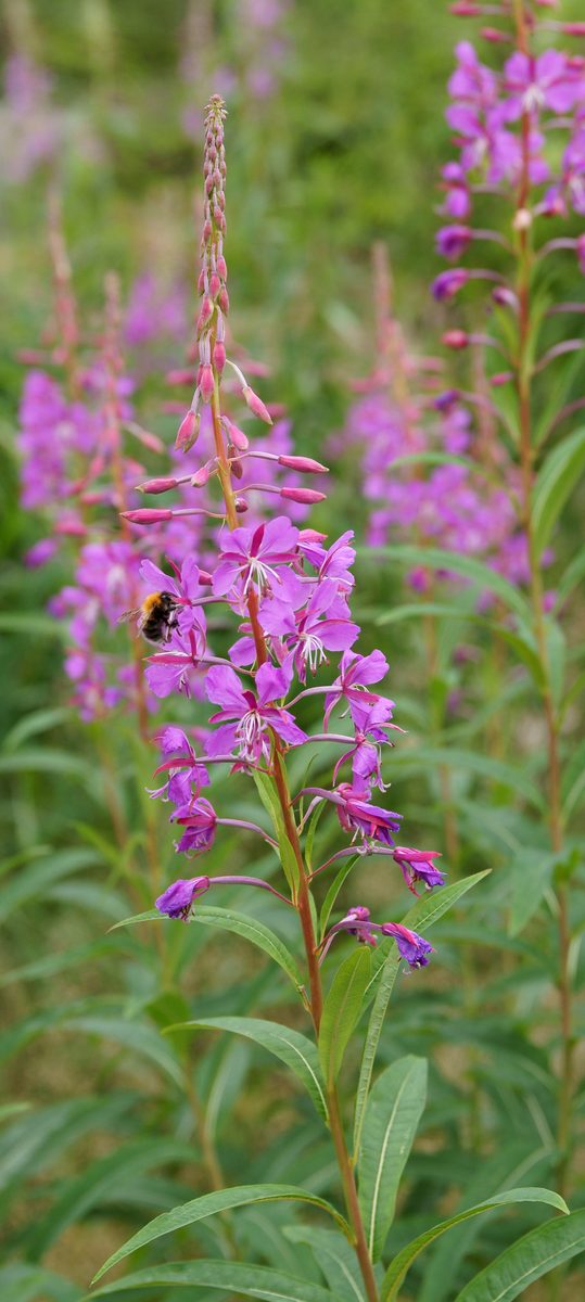
This perennial herb grows 50–150 cm tall with a thick creeping rhizome, from which additional buds form. These buds allow the plant to spread rapidly. The stem is upright, densely leafy, with alternate, narrow, elongated-lanceolate leaves resembling those of willows. At the top, there is a raceme 10–15 cm long that blooms from the bottom upwards. The flowers are large, 2–3 cm, with four purple-pink, less commonly pale pink or white petals. Blooming lasts from June to September. One plant can produce up to 80 thousand small seeds with silky hairs that are easily carried by the wind.
Fireweed is an excellent summer honey plant; in the Carpathians, it provides bees with a productive harvest: nectar is easily accessible, and from a hectare of thickets, bees can collect hundreds of kilograms of honey. It has also been tested as a fodder and soil-protecting crop.
The leaves of fireweed are traditionally harvested during flowering, dried, and brewed as herbal tea. Do not confuse it with other fireweeds that grow along streams: they have smaller flowers, and their leaves are broader and serrated. When collecting leaves, do not uproot the plant or tear it near roads.
Where in the Carpathians

The map shows where naturalists recorded the species (GBIF, CC0 and CC BY records), not every place it lives. The Ukrainian Carpathians are less studied, so a blank area does not mean the species is absent.
- Countries
- Slovakia · Poland · Czechia · Ukraine · Romania
- Mountain ranges
- Low Tatras, High Tatras, Lesser Fatra, Western Tatras, Slovak Ore Mountains, Volovec Mountains, Żywiec Beskids, Moravian-Silesian Beskids, Greater Fatra, Kysuce Beskids
- Altitude belts
- Foothills (below 600 m) · Beech forests (600–1200 m) · Conifer forests (1200–1600 m)
When to see it
| Jan | Feb | Mar | Apr | May | Jun | Jul | Aug | Sep | Oct | Nov | Dec | |
|---|---|---|---|---|---|---|---|---|---|---|---|---|
| Flowering | ||||||||||||
| Fruit |
From naturalists’ observations in the Carpathians (iNaturalist, research grade): the darker the cell, the more often the species is seen that month.
Look-alikes — how to tell them apart
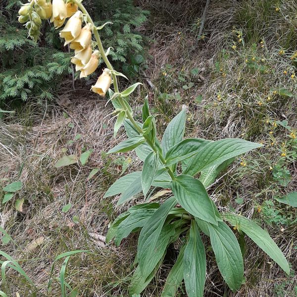
Flowers are smaller, with notched petals, sitting in the axils of upper leaves, not in a long raceme; leaves are hairy and serrated; grows near water.
In folk tradition
The leaves are traditionally harvested during flowering, dried, and brewed as herbal tea. The plant is a valuable honey plant.
Protection and rules
Not protected. In reserves and protected areas of national parks, collecting plants is prohibited.
FAQ
When does fireweed bloom in the Carpathians?
From June to September. It is most abundant in clearings, burn sites, and forest margins.
Why does fireweed grow in clearings?
It prefers open disturbed places and spreads rapidly through rhizomes, while its light seeds with tufts are carried by the wind. Therefore, fireweed is the first to colonize clearings and burn sites.
Similar species
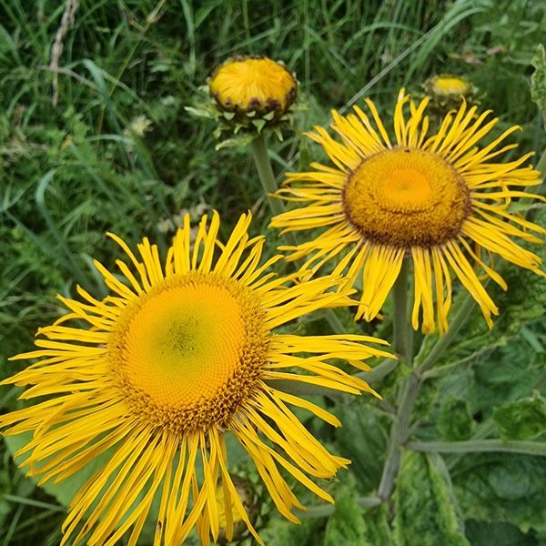
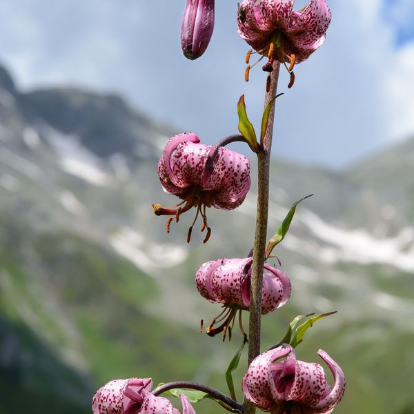
Where to meet it
Trails
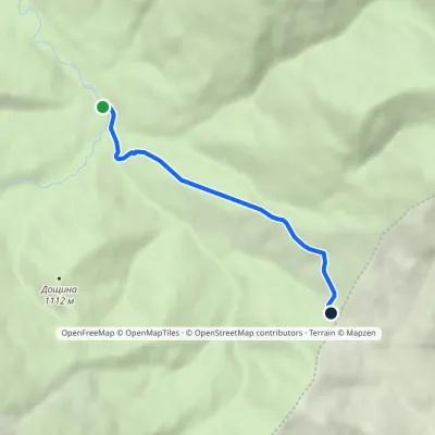 EasyOne-dayMarkedMezhyriky Vivchyna polonynaElevation profile854–1 048 m3.3 kmascent 193 m≈ 1 h walking
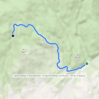 EasyOne-dayMarkedKamianka tract Enchanted ValleyElevation profile363–771 m6.8 kmascent 412 m≈ 2.5 h walking
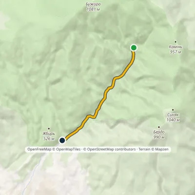 EasyOne-dayMarkedKamianka tract Huchalo Waterfallvia mineral springElevation profile365–590 m4.8 kmascent 3 m≈ 1 h walking
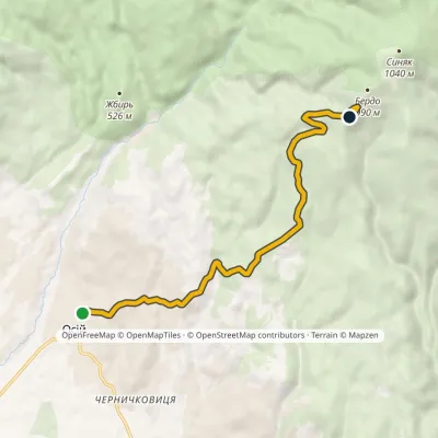 ModerateOne-dayMarkedOsii village Mount BerdoElevation profile257–928 m8.5 kmascent 678 m≈ 3.5 h walking
 HardMulti-dayLukovo village to Svaliavavia Mount BuzhoraElevation profile162–1 085 m46.8 kmascent 1 894 m
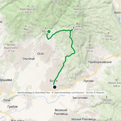 ModerateOne-dayMarkedKamianka tract Bilky villagevia Mount BerdoElevation profile150–928 m16 kmascent 565 m≈ 5 h walking
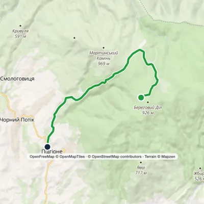 EasyOne-dayMarkedPidhirne Kupinkuvatevia Chorne BahnoElevation profile341–925 m10.8 kmascent 44 m≈ 3 h walking
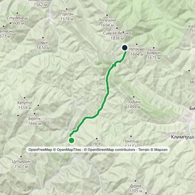 ModerateTwo-dayMarkedRushchyna polonyna Ust-ChornaElevation profile748–1 456 m14.9 kmascent 756 m≈ 5 h walking
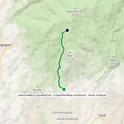 EasyOne-dayMarkedNovoselytsia Smerekovyi StoneElevation profile322–729 m4.3 km≈ 1 h walking
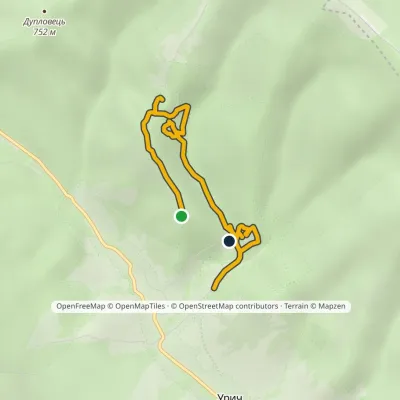 EasyOne-dayMarkedNo. 5048 «In the Footsteps of Legendary Tustan»Elevation profile551–712 m4.1 kmascent 139 m≈ 1.5 h walking
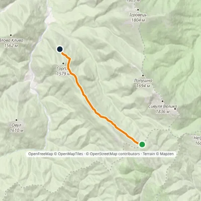 EasyOne-dayMarkedGorgan ridge traverseElevation profile1 330–1 469 m8.1 kmascent 106 m≈ 2 h walking
 HardMulti-dayMarkedStara Huta village loopvia Mount Borevka, Mount Lopushna +2Elevation profile768–1 836 m27.4 kmascent 1 257 m≈ 9.5 h walking
Peaks and meadows
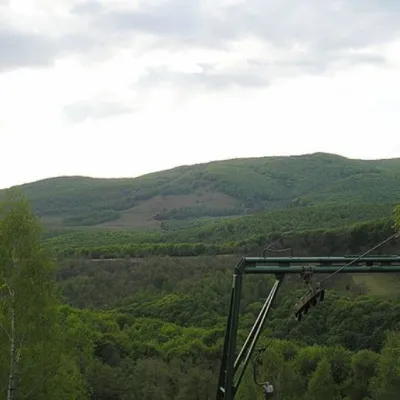 PeakMount BuzhoraOsiialtitude 1 085 m · Volcanic Carpathians range1 trail to the topMount Buzhora is the highest peak of the Volcanic Ridge of Ukrainian Carpathians.
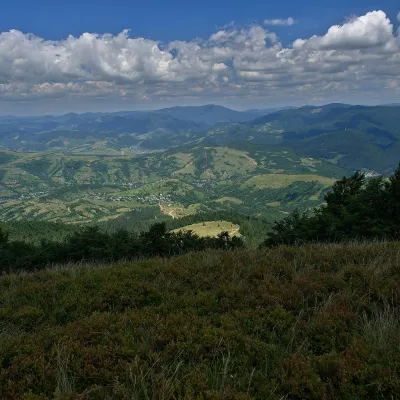 PeakMount Menchul (Mizhhiria)Sopkyaltitude 1 247 m · Borzhava rangeMenchul is a 1,247 m summit in the south-eastern part of the Polonyna Borzhava massif in Zakarpattia Oblast.
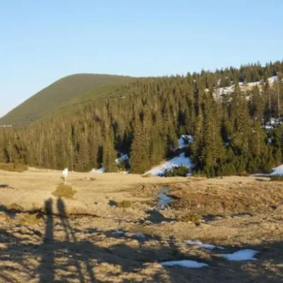 Mountain meadow1 409 mPolonyna RuschynaOsmolodaRuschyna meadow is famous for its panoramic views of the mountains that surround it from all sides and the diversity...
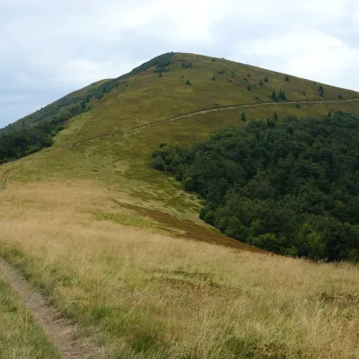 PeakMount KukLysychovoaltitude 1 361 m · Borzhava rangeKuk is a mountain in the south-eastern part of the Polonyna Borzhava massif in Zakarpattia Oblast.
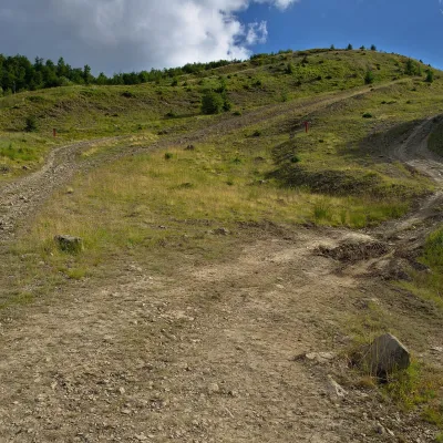 PeakMount KaminnaSopkyaltitude 1 127 m · Borzhava rangeKaminna (sometimes called Kamiana) is a 1,127 m summit in the south-eastern part of the Polonyna Borzhava massif in...
 Mountain meadow1 189 mPolonyna-KukMizhhiriaVery beautiful scenery, there is a spring and places to spend the night with a tent down the road to Mount Cook.
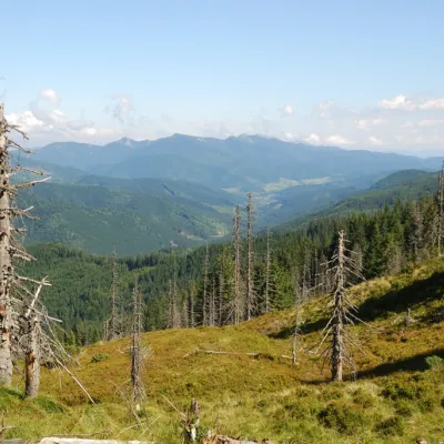 PeakMount TavpyshBystrytsiaaltitude 1 450 m · Gorgany rangeTavpysh is a 1,450 m summit of the Tavpyshyrka ridge in the central Gorgany, in the Nadvirna district of Ivano...
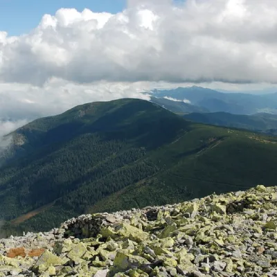 PeakMount NegrovaStara Hutaaltitude 1 604 m · Gorgany range11 trails to the topNegrova is a peak in the central part of the Gorgan mountain range(Ukrainian Carpathians).
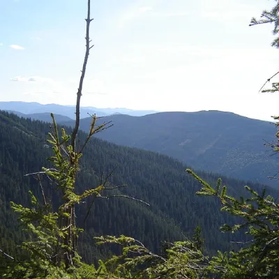 PeakMount Kinets HorhanuOsmolodaaltitude 1 599 m · Gorgany range2 trails to the topThe End of Horgan is a 1599-meter mountain of the Ukrainian Carpathians, which is located on the Horgan Ridge (its...
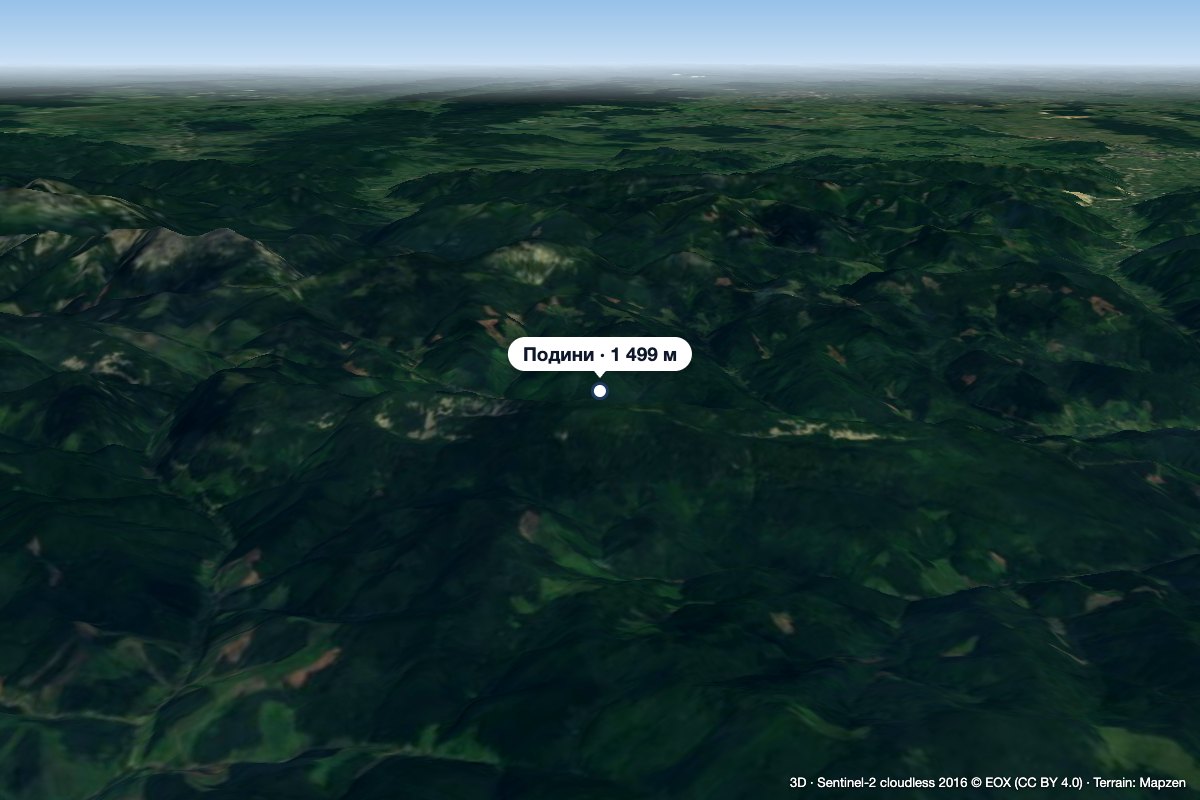 PeakMount PodynyBystrytsiaaltitude 1 499 m · Gorgany rangeMount Podyny (about 1499 m) is the highest summit of the Tavpyshyrka ridge in the Gorgany.
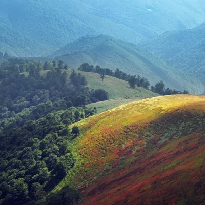 PeakMount Biletsky VerkhPodobovetsaltitude 1 146 m · Borzhava range1 trail to the topBiletsky Verkh is a mountain 1146 m above sea level on the Borzhava ridge.
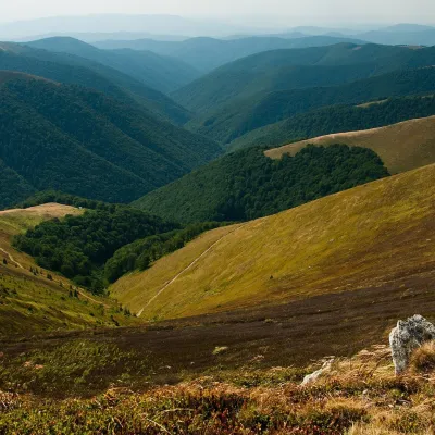 Mountain meadow1 400 mPolonyna BorzhavaPylypetsPolonyna Borzhava is the longest polonyna massif in Zakarpattia and one of the best known in the Polonynskyi Ridge of...
Waters and waterfalls
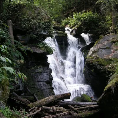 WaterfallVojvodyn waterfallPolianska HutaThe Voyevodyn Waterfall is located on the stream of the same name near the village of Zhdeniyevo in Zakarpattia...
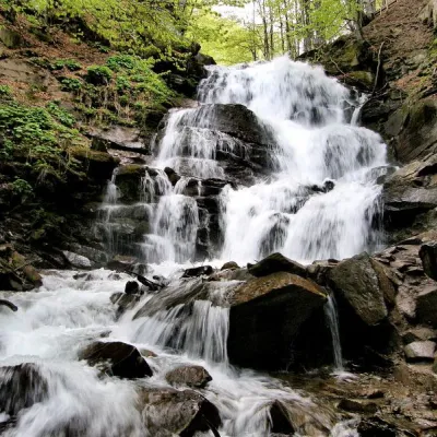 Waterfall"Shypit Waterfall" PylypetsPylypetsIn a cozy corner of the Carpathian Mountains, among the evergreen mountain forests and steep, sharp cliffs, lies the...
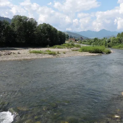 RiverChornyi Cheremosh RiverVerkhovynaThe Chornyi Cheremosh rises south-east of Burkut on the slopes of the Chyvchyn Mountains, the most remote corner of...
Mountain ranges: Bieszczady. In other countries: 🇸🇰 Low Tatras, 🇸🇰 High Tatras, 🇸🇰 Lesser Fatra, 🇸🇰 Western Tatras, 🇸🇰 Slovak Ore Mountains, 🇸🇰 Volovec Mountains, 🇵🇱 Żywiec Beskids, 🇨🇿 Moravian-Silesian Beskids, 🇸🇰 Greater Fatra, 🇸🇰 Kysuce Beskids, 🇸🇰 Belianske Tatras, 🇸🇰 Slovak Central Mountains, 🇸🇰 Spiš Magura
Trails and peaks near which naturalists recorded the species (GBIF, iNaturalist), matched by altitude and habitat. Sightings are not guaranteed.
Sources
- Вікіпедія: Зніт вузьколистий
- Wikipedia (en): Chamaenerion angustifolium
- Wikipedia (en): Epilobium hirsutum
- iNaturalist: Chamaenerion angustifolium (спостереження в Карпатах)
GBIF · iNaturalist · Wikidata · Distribution data: GBIF.org (CC0 and CC BY records), iNaturalist; names and identifiers: Wikidata (CC0). Text: Karpaty.rocks, checked 09.11.2026.
