Kamianka tract — Bilky village, via Mount Berdo
Trail map
Route, springs and shelters: © OpenStreetMap contributors (ODbL) · elevation: Copernicus DEM © DLR e.V., © Airbus DS · Data & licences
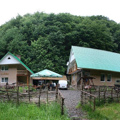
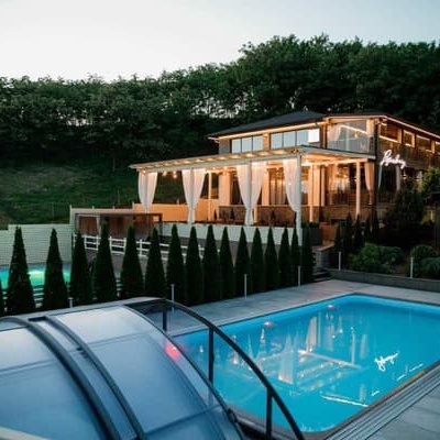
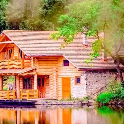
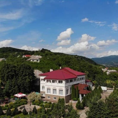
Where to stay nearby

About the trail
Route Kamianka tract – Mount Berdo – Bilky village. Has green marking (local route). Waymarking data: OpenStreetMap (© OpenStreetMap contributors, ODbL).
Officially marked local tourist route. The marking is green, the sign is a horizontal stripe on a white background. Marked and maintained by: National Nature Park "Zacharovany Krai". Length of the route — 16 km. Location: mountain range — Volcanic Ridge, Zakarpattia region.
At a glance
A one-day route of 16 km with 555 m of ascent from Kamianka tract to Bilky village. Estimated walking time: about 5 h, not counting stops. Difficulty: moderate. Waymarking: green.
Route stages
- 0–6 kmClimb of 550 m (up to 912 m)
- 6–11 kmDescent of 570 m (down to 344 m)
- 11–16 kmGentle ups and downs at 150–350 m
Steepest kilometre: km 4–5, a climb of 160 m (≈16%).
Water and overnight stays
Our map shows no springs near the trail — bring your own water (at least 2.5 l).
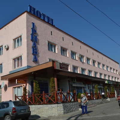
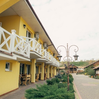
Places to stay near the start: Irshava.
When to go
The route can be walked most of the year; it is most comfortable from April to October.
Getting there
Start: Kamianka tract. Most places to stay near the start are in Irshava. This is a one-way route: the finish is 8 km from the start in a straight line, so plan your way back in advance.
FAQ
- How long does the route take?
- Estimated walking time: about 5 h, not counting stops.
- Is there water on the route?
- Our map shows no springs near the trail — bring your own water (at least 2.5 l).
- Where can I stay overnight?
- Places to stay near the start: Irshava.
Before you go, check the border-regime restrictions: Border Guard permit for mountain hikes (in Ukrainian)
Comments
Trails nearby
All trails HardMulti-dayLukovo village to Svaliavavia Mount BuzhoraElevation profile162–1 088 m46.8 kmascent 1 879 m
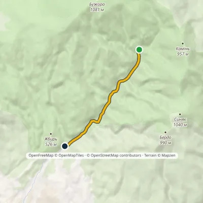 EasyOne-dayMarkedKamianka tract Huchalo Waterfallvia mineral springElevation profile365–590 m4.8 kmascent 3 m≈ 1 h walking
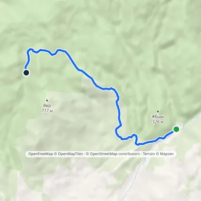 EasyOne-dayMarkedKamianka tract Enchanted ValleyElevation profile363–771 m6.8 kmascent 406 m≈ 2.5 h walking
Craft nearby
All craft places Craft producersAleks mineral waters, SvaliavaSvalyava20 km from the trailAleks is a Svaliava mineral-water producer founded in 1995. It was one of the first companies in Ukraine to bottle natural mineral waters in PET bottles, and today it...
 Craft producersMirella confectionery, SvaliavaSvalyava21 km from the trailMirella is a café-patisserie in Svaliava founded by pastry chef Myroslava Holonych. It bakes signature cakes and pastries, traditional Transcarpathian baking, crackers...
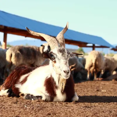 Cheese dairies & pasturesBaranovo Cheese Dairy, IzaIza24 km from the trailBaranovo is a small family-run cheese dairy with its own eco-farm in the village of Iza, just a few kilometres from Khust.
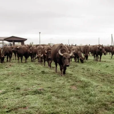 Eco farmsKarpatskyi Buivil Buffalo Farm, VynohradivVynohradiv25 km from the trailKarpatskyi Buivil ("Carpathian Buffalo") is the first and largest buffalo farm in Zakarpattia. On the outskirts of Vynohradiv, among lowland pastures at the foot of...
 Wildlife parks & animal farmsOstrich Farm, KhustKhust25 km from the trailThe Ostrich Farm in Khust is a small family-run farm on the edge of town where African ostriches have been bred for more than twenty years.
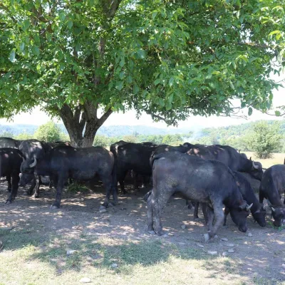 Eco farmsRaiskyi Kutochok Buffalo Eco-Farm, HorinchovoKhust district26 km from the trail"Raiskyi Kutochok" eco-farm ("Paradise Corner") in Horinchovo near Khust is one of the best-known buffalo farms in Zakarpattia.
