Mount Tupyi
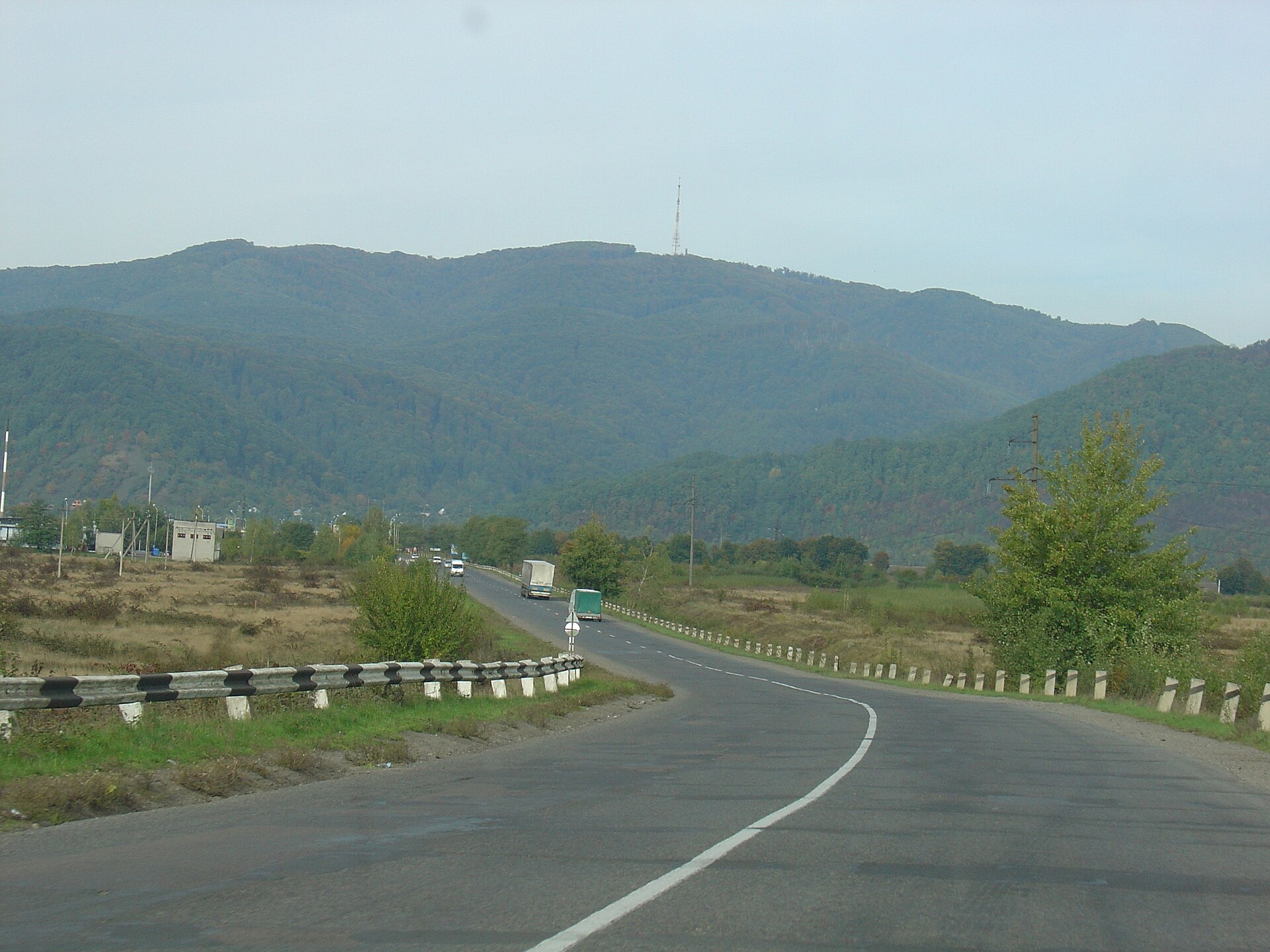
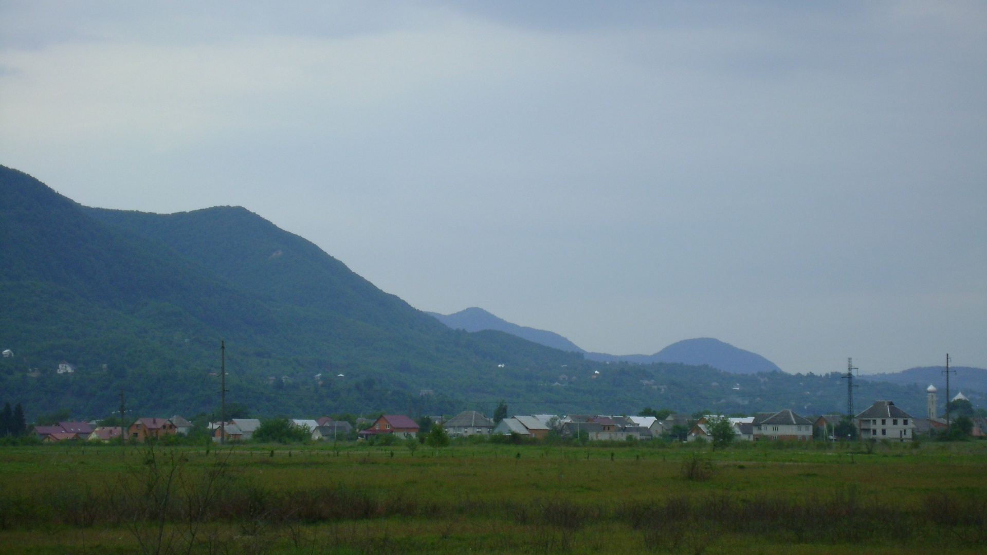
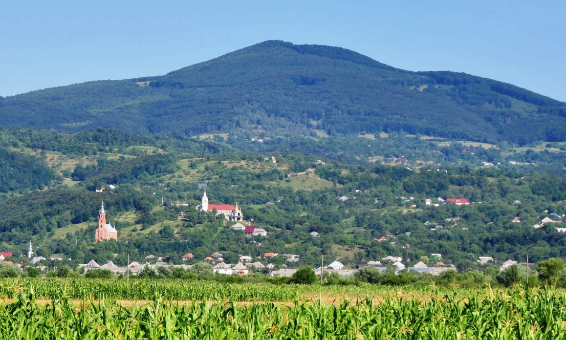
Tupyi is the highest summit of the massif of the same name, part of the volcanic ridge of the Ukrainian Carpathians. It is 878 m high and stands on the border of the former Khust and Irshava districts of Zakarpattia Oblast, north-east of the village of Malyi Rakovets. The nearest settlements are Malyi Rakovets and Imstychovo.
The summit is dome-shaped. The mountain is built of andesites, andesite-basalts, basalts and tuffs, traces of ancient volcanic activity. Its slopes are asymmetric: the northern and eastern ones are steeper, the southern and western ones gentler. Slopes and summit are forested, except for a small open patch on the south-eastern slope. Beech forest grows higher up, beech and hornbeam lower down.
How to get there
There is no waymarked route to Tupyi on our site yet. The western spurs of the mountain run down to the villages of Malyi Rakovets, Lypovets and Imstychovo, which are the most convenient starting points. These slopes have been noticeably altered by human activity, so plan your way with an offline map. The best time is from May to October: after snowmelt and heavy rain the forest tracks can be washed out and slippery. The mountain is low, so the climb and return fit easily into one day.
Water, shelter and safety
Our map shows no springs or huts near the summit, so carry your own water. It is easiest to stay overnight in the surrounding villages. The mountain is not high, but its slopes are steep and it is easy to lose your way in dense forest, especially in fog. Tell someone your route and expected return time. In an emergency call 112 or 101; contacts of the nearest units are on our mountain rescue page.
Interesting facts
- The Bystra stream, a tributary of the Borzhava river, rises on the north-eastern slope of Tupyi.
- The neighbouring Mount Kytytsia (841 m) lies 2.4 km south-east of the summit.
Photos: MSha, CC BY-SA 3.0; MSha, Public domain; Stylenotes, CC BY-SA 3.0 — Wikimedia Commons.
Location on the map
Comments
Places to stay nearby
 HotelHotel "Prem'era" Khust10 km from Mount TupyiBBQParkingWi‑FiNearby: Reformed Church 1.4 kmSynagogue 1.4 km
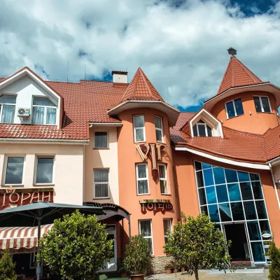 HotelHotel Complex "VIP" Khust (SPA + Conference Hall)11 km from Mount TupyiPoolSaunaSPANearby: Reformed Church 500 mSynagogue 500 m
 HotelHotel-Restaurant Complex "PRINCE" Khust11 km from Mount TupyiParkingWi‑FiNearby: Reformed Church 400 mSynagogue 200 m
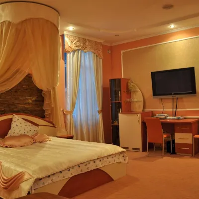 HotelHotel "Fokus" Khust12 km from Mount TupyiWi‑FiTransferNearby: Reformed Church 1.0 kmSynagogue 1.2 km
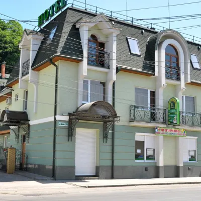 HotelHotel "Karpaty" Khust12 km from Mount TupyiPoolSaunaWi‑FiNearby: Reformed Church 1.2 kmSynagogue 1.4 km
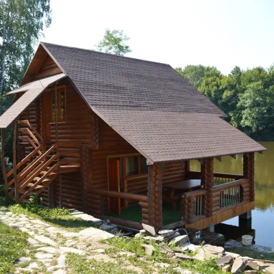 CottageTourist Complex "Dzherelne Ozero" Velyka Kopanya13 km from Mount TupyiPoolSaunaBBQNearby: Church of the Ascension 8.6 kmFranciscan monastery 8.6 km
Trails nearby
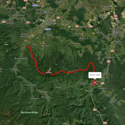 HardMulti-dayUnmarkedLukovo village to Svaliavavia Mount BuzhoraElevation profile165–1 085 m46.8 kmascent 1 967 m9.4 km from Mount Tupyi
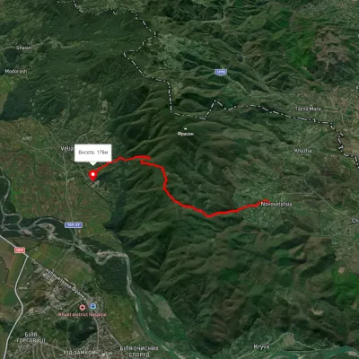 ModerateOne-dayMarkedPyntia's PathElevation profile171–627 m10.3 kmascent 539 m≈ 3.5 h walking14 km from Mount Tupyi
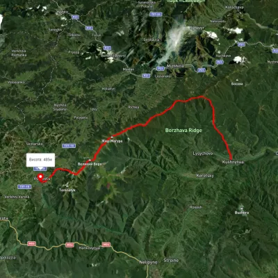 HardMulti-dayUnmarkedKushnytsia village to Volovetsvia Kuk polonyna, Mount Shyrokyi Verkh +3Elevation profile226–1 540 m47.1 kmascent 2 774 m18 km from Mount Tupyi
Nearby attractions
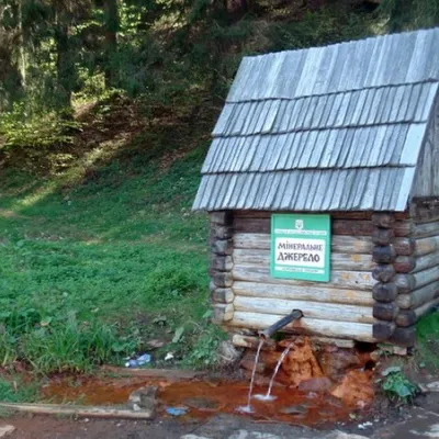 NatureHealing Spring Chorgiv or Kopanska Water11 km from Mount TupyiThe Chorgiv spring in Velyka Kopanya is called healing for a reason. Its water is one of the purest in all of Ukraine, filled with many chemical elements and minerals,...
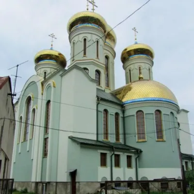 ArchitectureCathedral of Saints Cyril and Methodius, Khust11 km from Mount TupyiCyril and Methodius and the 1100th anniversary of Holy Orthodoxy in Transcarpathia." 24(11).5.1991. This inscription on marble is preserved in this cathedral, whose...
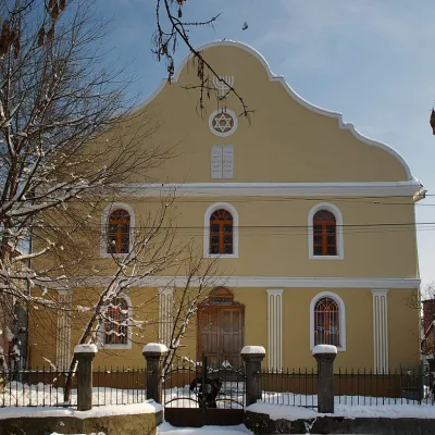 ArchitectureSynagogue, Khust11 km from Mount TupyiAnne's Church, , the old synagogue of 1872-1875. Maybe not as old as we would like, but very beautifully painted.