No. 5048 «In the Footsteps of Legendary Tustan»
Trail map
Route, springs and shelters: © OpenStreetMap contributors (ODbL) · elevation: Copernicus DEM © DLR e.V., © Airbus DS · Data & licences
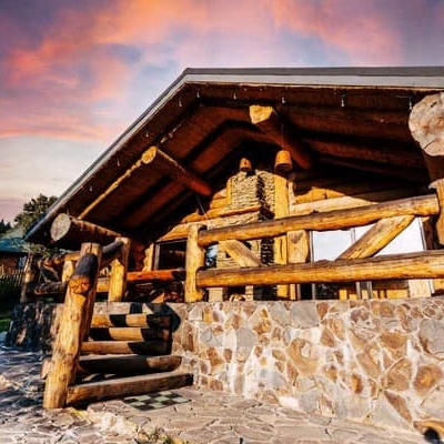
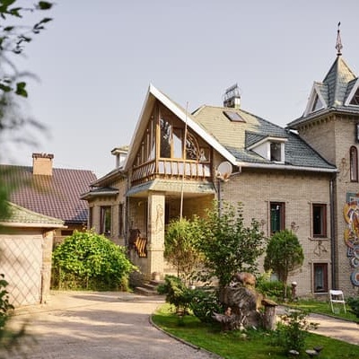
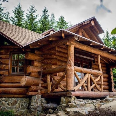
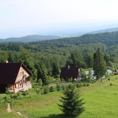
Where to stay nearby



About the trail
Route No. 5048 «In the Footsteps of Legendary Tustan». Has yellow marking (local route №5048). Waymarking data: OpenStreetMap (© OpenStreetMap contributors, ODbL).
Officially marked local tourist route №5048. The marking is yellow, the sign is a horizontal stripe on a white background. Marked and maintained by: Tourism and Resorts Department of Lviv Regional State Administration. Length of the route — 4.1 km. Location: mountain range — Verkhniodnistrovskyi Beskydy, Lviv region.
Attention: part of the route is not yet mapped in OpenStreetMap, so the line on the map has gaps. On the ground, orient yourself by the marking signs.
At a glance
A short route of 4.1 km with 129 m of ascent. Estimated walking time: about 1 h, not counting stops. Difficulty: easy. Waymarking: yellow.
Route stages
- 0–0.5 kmGentle ups and downs at 640–700 m
- 0.5–2.5 kmDescent of 120 m (down to 568 m)
- 2.5–4 kmGentle ups and downs at 550–600 m
Steepest kilometre: km 1.5–2.5, a descent of 90 m (≈11%).
Water and overnight stays
A spring near the trail: at km 2.5.
Places to stay near the start and finish: Skhidnytsia.
When to go
The route can be walked most of the year; it is most comfortable from April to October.
Getting there
Most places to stay near the start are in Skhidnytsia.
FAQ
- How long does the route take?
- Estimated walking time: about 1 h, not counting stops.
- Is there water on the route?
- A spring near the trail: at km 2.5.
- Where can I stay overnight?
- Places to stay near the start and finish: Skhidnytsia.
Water and shelter on the route
- Healing well “Oberih”km 2.9 from the start · Not verified · 570 m
Before you go, check the border-regime restrictions: Border Guard permit for mountain hikes (in Ukrainian)
Comments
Trails nearby
All trails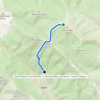 EasyOne-dayMarkedJadwiga's Track: Mount Tsiukhiv Verkh Turkiv (VeloBeskydy)Elevation profile559–923 m4.8 kmascent 6 m≈ 1 h walking
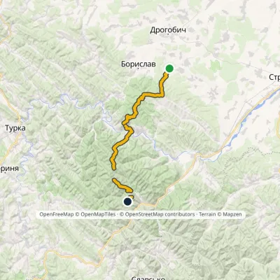 HardMulti-dayMarkedNo. 1 Truskavets SekulElevation profile349–1 212 m44.2 kmascent 2 705 m
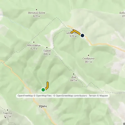 EasyOne-dayMarkedNo. 5050 Tustan Carpathian polonynyElevation profile554–939 m1.3 kmascent 404 m≈ 1 h walking
Craft nearby
All craft places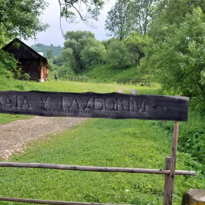 Crafts & workshopsKhata u Hlubokim Local History Centre, UrychUrych1.5 km from the trailKhata u Hlubokim (“the House in Hlyboke”) is an old Boyko house in Urych that the Tustan State Historical and Cultural Reserve has turned into a local history centre.
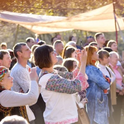 Ethno tours & guidesBoyYe Boyko Culture Festival, UrychUrych1.5 km from the trailBoyYe is a festival of Boyko culture launched by the Tustan State Historical and Cultural Reserve in the village of Urych.
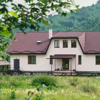 Ethno parks & homesteadsU Dvori Ethno Complex, PidhorodtsiPidhorodtsi4.5 km from the trailU Dvori ethno complex is a family homestead in the village of Pidhorodtsi near Skole, set on a hill above the Stryi river valley a few kilometres from the Tustan rock...
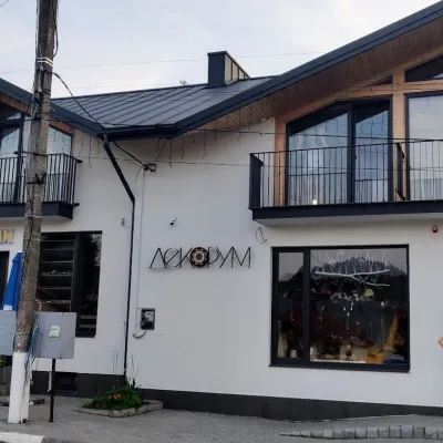 Craft shopsDecorum Art Shop, SkhidnytsiaSkhidnytsia5.5 km from the trailDecorum is a small art shop in the very heart of Skhidnytsia, on Zolota Bania Street close to the central pump rooms and the resort's promenade.
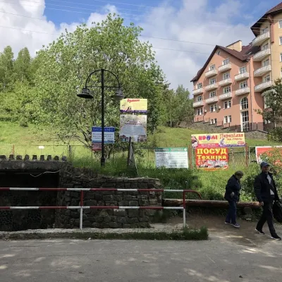 Theme parksMineral Spring No. 1-S (Naftusya), SkhidnytsiaSkhidnytsia6.5 km from the trailSpring No. 1-S is one of the most popular mineral springs in Skhidnytsia, the mountain spa near Drohobych often called Truskavets’ younger sibling.
 Wildlife parks & animal farmsOskar Dolphinarium, TruskavetsTruskavets11 km from the trailOskar Dolphinarium is an entertainment and wellness complex in Truskavets at 18 Horodyshche Street, opened on 31 October 2015.
