Mount Malyi Kanusiak
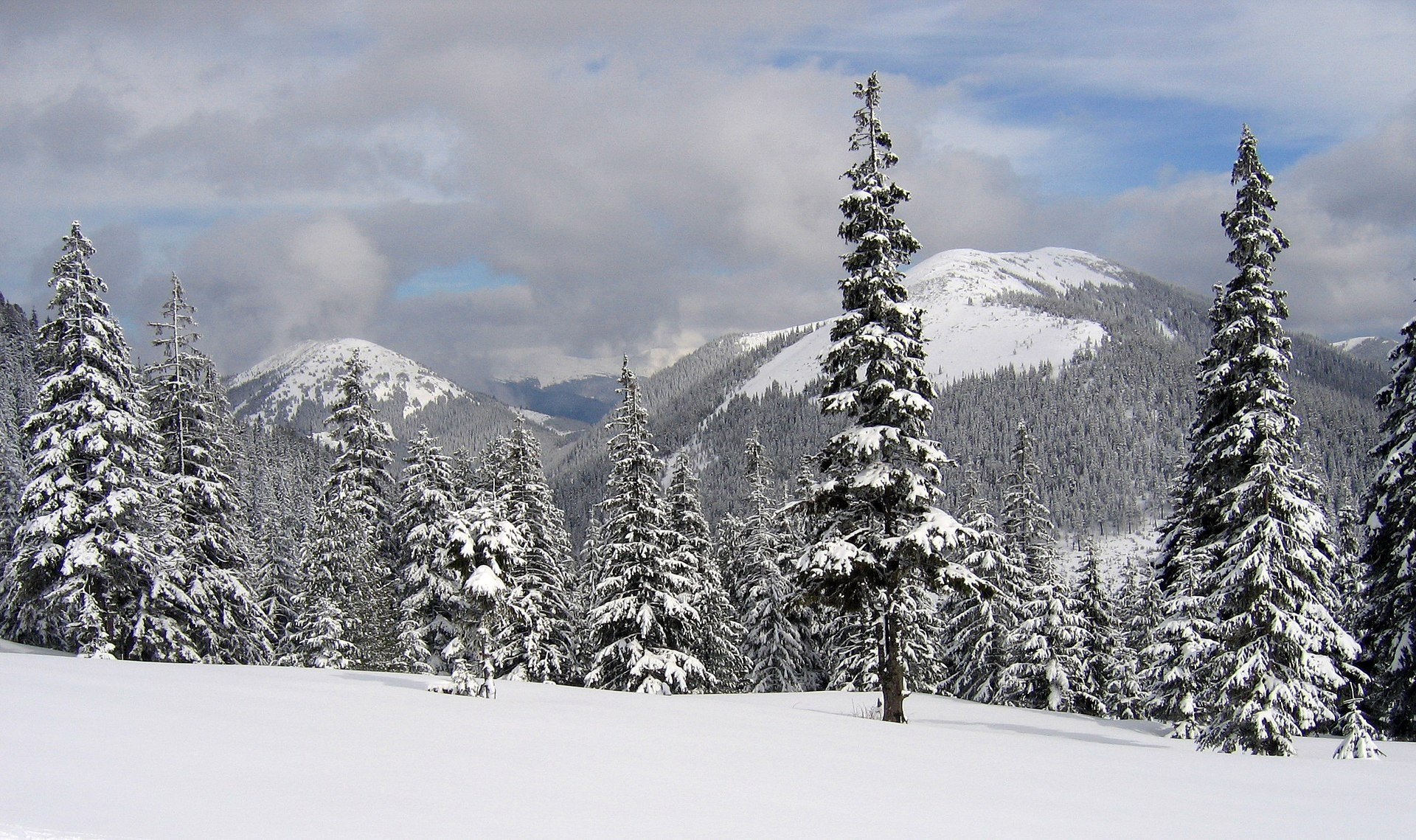
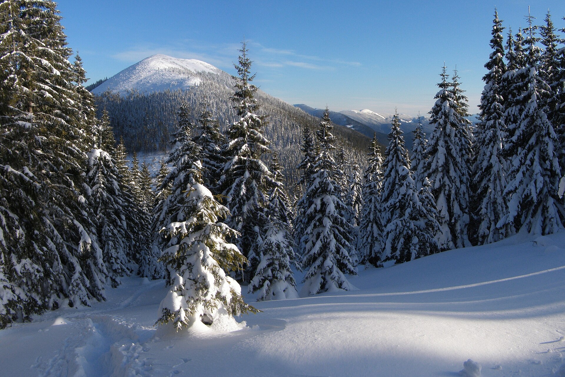
Malyi Kanusiak is a 1,620 m peak of the Gorgany range in the Kalush district of Ivano-Frankivsk Oblast. The mountain has a regular cone shape and rises between the valleys of the Petros and Limnytsia rivers and the Kotelets stream, a tributary of the Moloda. To the south-west a saddle links it with neighbouring Velykyi Kanusiak (1,642 m); Hrofa (1,748 m) rises to the west and Kin-Hrofetskyi to the north-west. The nearest village is Osmoloda, about 6 km away.
Up to about 1,450 m the slopes are covered with spruce forest; higher up come scree fields and dwarf mountain pine, known locally as zherep.
How to get there
Our site has no marked route to Malyi Kanusiak, and there is no well-trodden path to the top either. The most convenient approach is from Osmoloda, where our routes in this part of the Gorgany begin, or as part of a day over the neighbouring summits — Velykyi Kanusiak and Hrofa. This is a hike for experienced walkers: without a path, progress through dwarf pine and boulders is very slow.
Water, shelter and safety
On our map the nearest springs are about 800 m from the summit (among them the «Krynychky» spring), with several more lower down towards Osmoloda. There are no huts or shelters near the top, so plan to camp or stay in the village. Choose a day with good visibility and carry a track in your navigation app, enough water and warm layers. In an emergency call 112 or 101 — mountain rescue works around the clock.
Interesting facts
- The two Kanusiaks, Velykyi and Malyi, stand side by side joined by a saddle, so from the Plistse meadow they look like a pair of summits.
- Other spellings of the name also occur — «Kaniusiak», «Konusiak»; reference books and hiking maps use «Malyi Kanusiak».
Photos: Rbrechko, CC BY-SA 4.0; Tanya Troyan, CC BY-SA 4.0 — Wikimedia Commons.
Location on the map
Comments
Places to stay nearby
 Homestead"U Davidka i Matviika"6.2 km from Mount Malyi KanusiakFireplaceKitchenParkingNearby: Mt Petros Gorgansky 4.6 kmMt Studenets 3.8 km2 trails
 HomesteadHomestead "Arnika" Osmoloda4.6 km from Mount Malyi KanusiakSaunaBBQKitchenNearby: Trout farm in Osmoloda 1.3 kmMt Kin Grofetsky 5.2 km15 trails
 HomesteadComplex "Hants" Osmoloda5 km from Mount Malyi KanusiakHot tubPoolSaunaNearby: Trout farm in Osmoloda 1000 mMt Kin Grofetsky 5.6 km15 trails
Trails nearby
 HardMulti-dayUnmarkedOsmoloda village loopvia Mount Koretvyna, Mount Mala Popadia +1Elevation profile633–1 729 m44.3 kmascent 1 814 m1.8 km from Mount Malyi Kanusiak
 HardTwo-dayUnmarkedOsmoloda village loopvia Mount GrofaElevation profile696–1 785 m23.9 kmascent 1 204 m≈ 8.5 h walking1.8 km from Mount Malyi Kanusiak
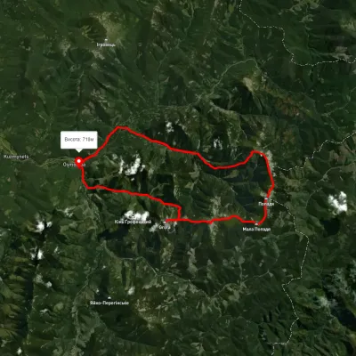 HardMulti-dayUnmarkedOsmoloda village loopvia Mount Grofa, Mount Parenky +2Elevation profile722–1 744 m42.5 kmascent 1 982 m1.8 km from Mount Malyi Kanusiak
Nearby attractions
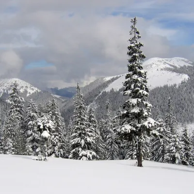 PeakMount Velykyi Kanusiakaltitude 1 642 m · Gorgany range1.8 km from Mount Malyi KanusiakVelykyi Kanusiak (Great Kanusiak) is a 1,642 m summit in the Gorgany. It lies in the Kalush district of Ivano-Frankivsk Oblast; the nearest settlement is the village...
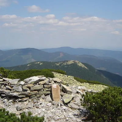 PeakMount Kin Grofetskyaltitude 1 552 m · Gorgany range3.1 km from Mount Malyi Kanusiak9 trails to the topMount Kin Grofetskyi is a 1,552-meter peak of the Ukrainian Carpathians. It is located in the western part of the Gorgan mountain range in the Rozhnyativ district of...
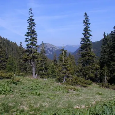 Mountain meadowPolonyna Plisce3.7 km from Mount Malyi KanusiakThere are many mountain meadows in the Carpathians, but Plitse stands out from the rest. The "feature" of the Plitse meadow is that the first tourist shelter was built...