Monk's rhubarb
About
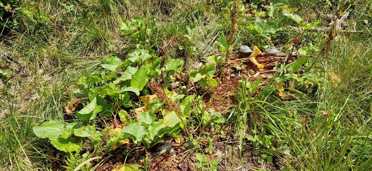
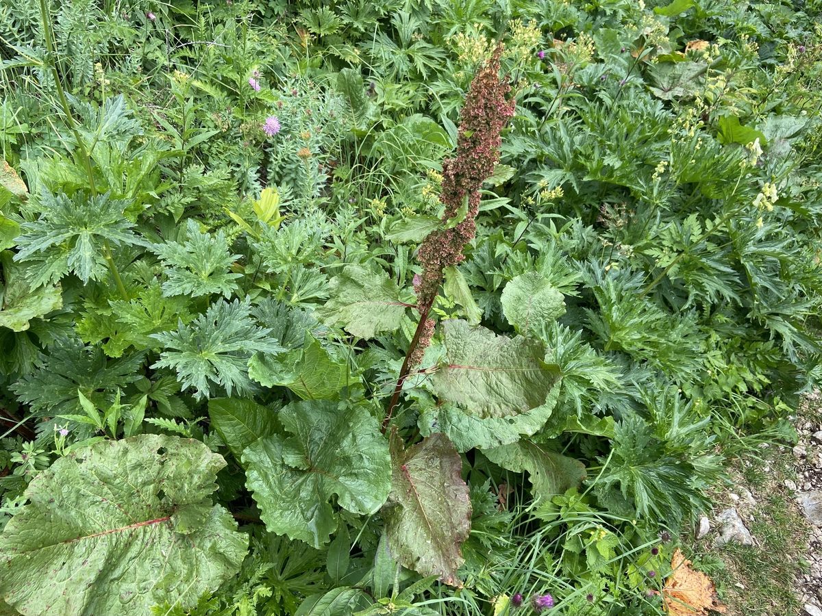
Rumex alpinus is a powerful perennial plant 60–150 cm tall, and in some places up to two meters. The basal leaves are very large, up to half a meter long, round-ovate, with a heart-shaped base and wavy edges, on long channelled petioles. The stem is thick, ribbed, and branched at the top.
It blooms from June to August. Small greenish flowers are gathered in a dense narrow panicle, which turns reddish-brown when the fruits ripen and remains until the snow.
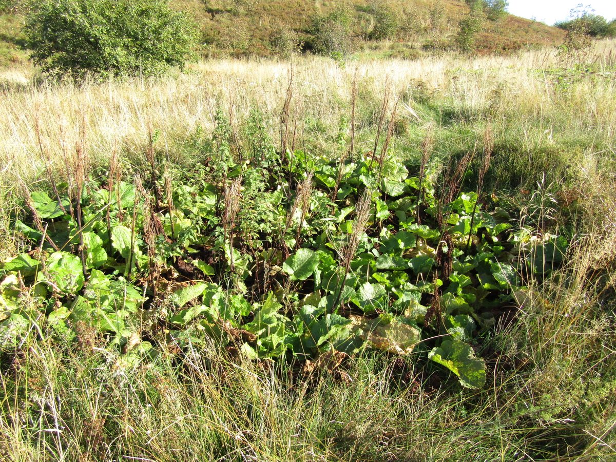
In the Carpathians, Monk's rhubarb grows in the mountain and subalpine belts, usually at an altitude of 800–1800 m. It prefers nitrogen-rich soils, thus forming dense thickets around kolibas, sheepfolds, stables, and places where livestock overnight. The Hutsuls call it shteviy.
These thickets are extremely resilient. Thick rhizomes live for decades, and almost nothing else grows under the broad leaves. Therefore, patches of Monk's rhubarb remain on the polonyna long after grazing has stopped, indicating where the herd once stood. Botanists refer to such places as 'rhubarb patches' and consider them a sign of excessive manure fertilization.
In the Ukrainian Carpathians, naturalists frequently record the species. The leaves contain a lot of oxalic acid. In the mountainous regions of Europe, it was once fed to pigs, and the petioles were used as a substitute for rhubarb — hence the English name 'Monk's rhubarb.'
Where in the Carpathians

Orange — where naturalists recorded the species (GBIF, CC0/CC BY); a blank area does not mean it is absent.
- Countries
- Ukraine · Slovakia · Poland · Romania · Czechia
- Mountain ranges
- Bieszczady, Chornohora, Gorgany. In other countries: 🇸🇰 Lesser Fatra, 🇸🇰 Low Tatras, 🇸🇰 Western Tatras, 🇸🇰 Greater Fatra, 🇸🇰 High Tatras, 🇵🇱 Żywiec Beskids, 🇸🇰 Slovak Ore Mountains, 🇵🇱 Babia Góra, 🇸🇰 Čergov Mountains, 🇷🇴 Făgăraș Mountains, 🇸🇰 Belianske Tatras
- Altitude belts
- Beech forests (600–1200 m) · Conifer forests (1200–1600 m)
When to see it
| Jan | Feb | Mar | Apr | May | Jun | Jul | Aug | Sep | Oct | Nov | Dec | |
|---|---|---|---|---|---|---|---|---|---|---|---|---|
| Flowering | ||||||||||||
| Fruit |
From naturalists’ observations in the Carpathians (iNaturalist, research grade): the darker the cell, the more often the species is seen that month.
Protection and rules
Not listed in the Red Book of Ukraine.
FAQ
What is the large leaf growing near the kolibas on the polonynas?
This is Monk's rhubarb, or shteviy. It prefers soil enriched with manure, which is why it grows where livestock stands or used to stand.
Why does Monk's rhubarb grow in patches among the polonyna?
Its thickets mark the locations of ancient sheepfolds and stables. The rhizomes live for decades, so Monk's rhubarb remains even when livestock is no longer grazed.
Comments
Travellers’ experience: reports, tips, questions.
No one has written here yet. Be the first — your experience helps others.
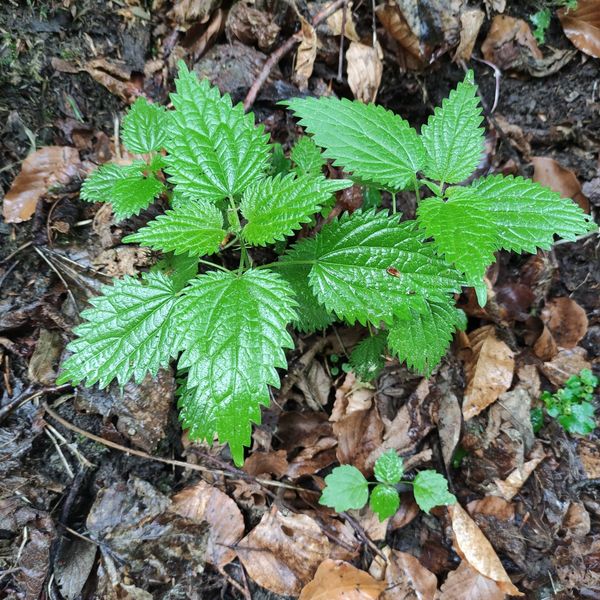
Similar species
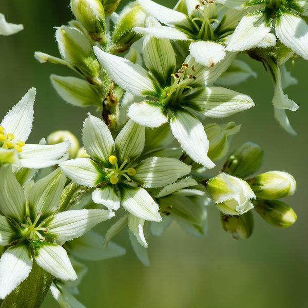
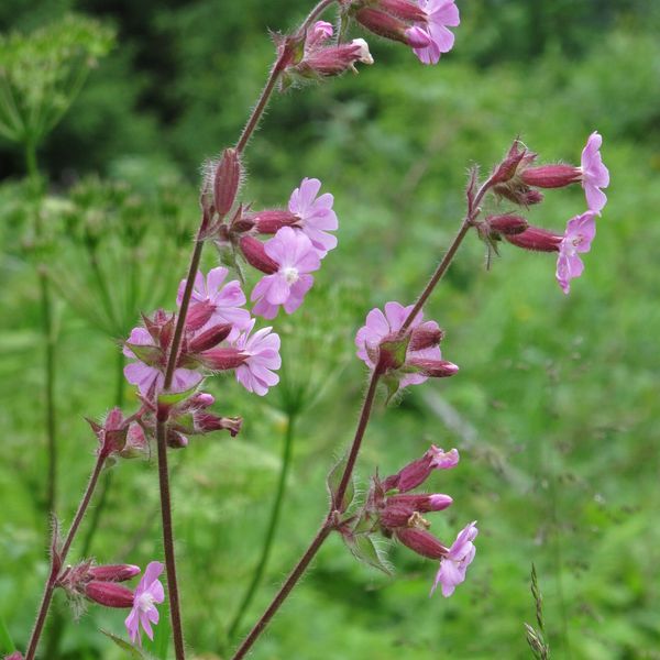
Where to meet it
Trails
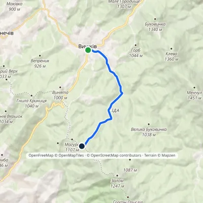 EasyOne-dayMarkedVyshkiv village Mount MahuraElevation profile798–1 113 m7.3 kmascent 314 m≈ 2.5 h walking
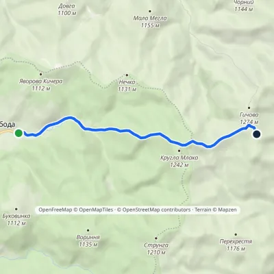 EasyOne-dayMarkedSvoboda Hycha polonynaElevation profile923–1 285 m5.7 kmascent 391 m≈ 2 h walking
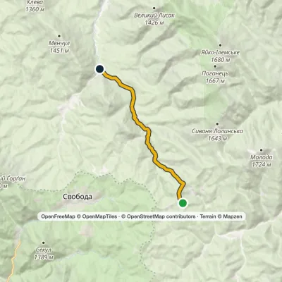 EasyOne-dayMarkedHycha BeskydElevation profile810–1 285 m9.6 kmascent 23 m≈ 2.5 h walking
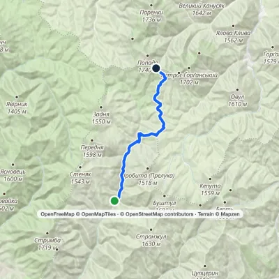 HardOne-dayMarkedUst-Chorna Mount PopadiaElevation profile653–1 461 m24.3 kmascent 930 m≈ 7.5 h walking
 ModerateOne-dayBert ridge to Nimetska Mokra villagevia Mount BushtulElevation profile652–1 667 m21.3 kmascent 304 m≈ 6 h walking
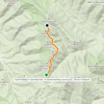 EasyOne-dayMarkedUkerna massif traverseElevation profile1 398–1 588 m5.7 kmascent 273 m≈ 2 h walking
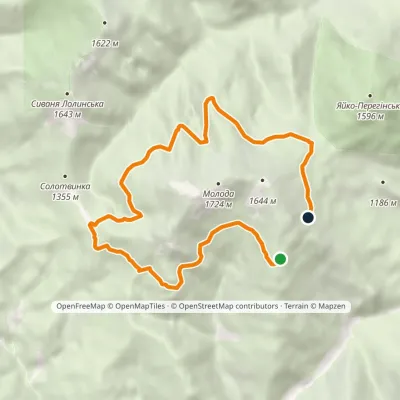 ModerateOne-dayMarkedMount Moloda traverseElevation profile1 362–1 483 m11.7 kmascent 241 m≈ 3.5 h walking
 Hard1–2 daysBystrytsia village loopvia Mount Vedmezhyk, Mount DovbushankaElevation profile816–1 754 m34.9 kmascent 1 221 m≈ 11 h walking
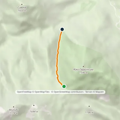 EasyOne-dayMarkedTo Mount Yaiko-PerehinskeElevation profile978–1 369 m2 kmascent 391 m≈ 1 h walking
Peaks and meadows
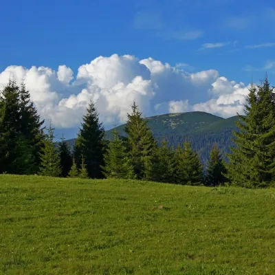 Mountain meadowPolonyna HychaSvobodaPolonyna Hycha is a cozy meadow in the Ukrainian Carpathians, located in the Rozhniativ district of Ivano-Frankivsk...
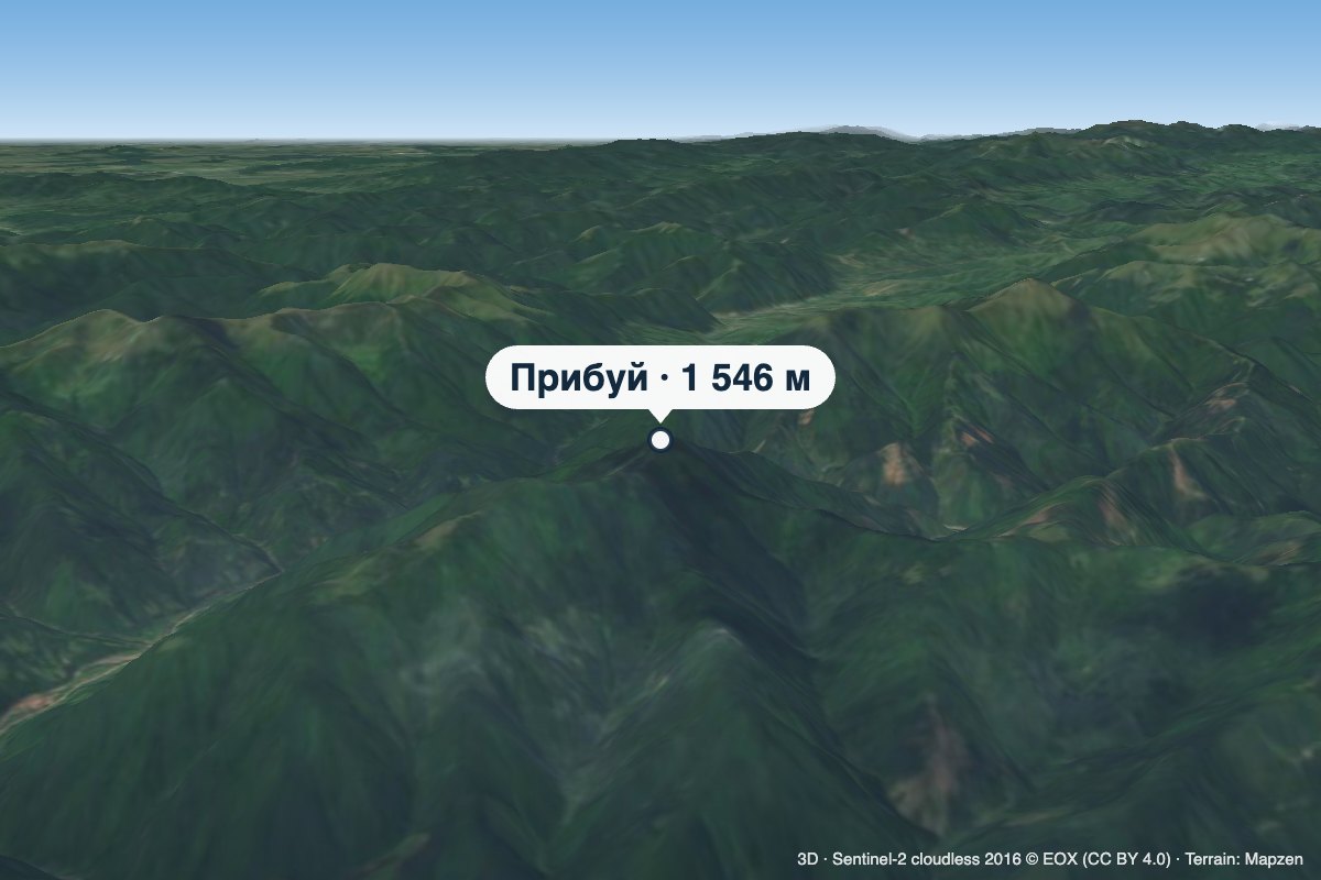 PeakMount PrybuiKomsomolskaltitude 1 546 m · Gorgany rangePrybui is a 1,546 m summit in the south-western Gorgany, in the Tiachiv district of Zakarpattia Oblast.
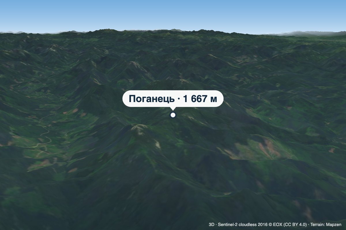 PeakMount PohanetsMyslivkaaltitude 1 667 m1 trail to the topPohanets is a 1,667 m summit in the western Gorgany, in the Kalush district of Ivano-Frankivsk Oblast (formerly...
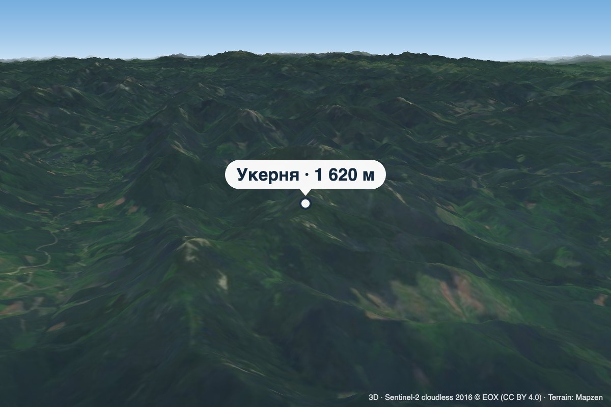 PeakMount UkerniaMyslivkaaltitude 1 620 m · Gorgany rangeUkernia is a 1,620 m summit in the western Gorgany, in Ivano-Frankivsk Oblast, on the ridge between the Svicha and...
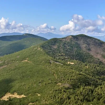 PeakMount Yayko-PereginskeOsmolodaaltitude 1 595 m · Gorgany range8 trails to the topYayko-Perehinske (the mountain got its name because of its characteristic shape, which resembles an egg from a...
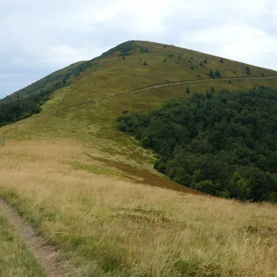 PeakMount KukLysychovoaltitude 1 361 m · Borzhava rangeKuk is a mountain in the south-eastern part of the Polonyna Borzhava massif in Zakarpattia Oblast.
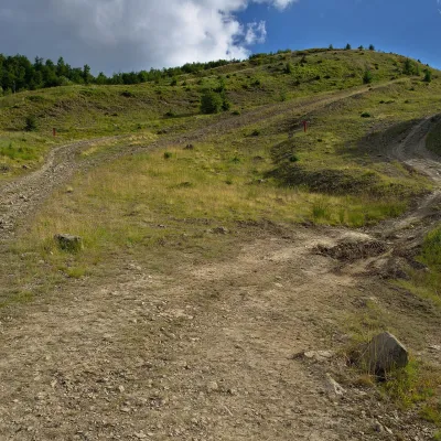 PeakMount KaminnaSopkyaltitude 1 127 m · Borzhava rangeKaminna (sometimes called Kamiana) is a 1,127 m summit in the south-eastern part of the Polonyna Borzhava massif in...
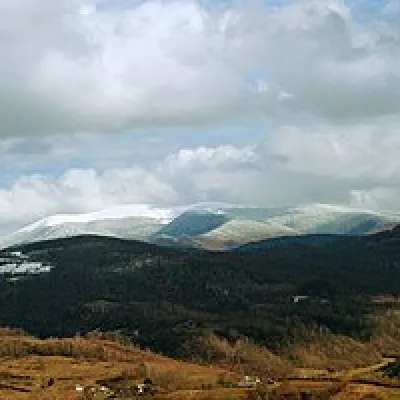 Mountain meadow1 189 mPolonyna-KukMizhhiriaVery beautiful scenery, there is a spring and places to spend the night with a tent down the road to Mount Cook.
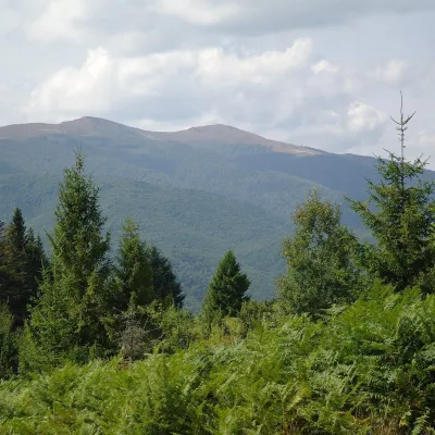 Mountain meadow1 400 mPolonyna Rivna (Runa)LumshoryPolonyna Rivna, more often called Runa in Zakarpattia (in the local dialect "runa" means exactly "flat"), is a broad,...
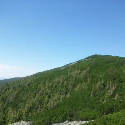 PeakMount TovstaZelenaaltitude 1 399 m · Gorgany rangeTovsta is a mountain in the Gorgany massif. It lies in the Nadvirna district of Ivano-Frankivsk Oblast, north-east of...
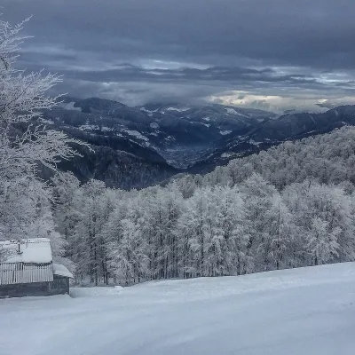 PeakMount SyhlanskyiKolochavaaltitude 1 564 m · Svydovets rangeSyhlanskyi is the highest peak of the Polonyna Krasna massif in the Ukrainian Carpathians.
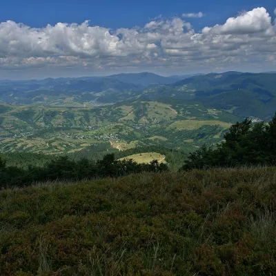 PeakMount Menchul (Mizhhiria)Sopkyaltitude 1 247 m · Borzhava rangeMenchul is a 1,247 m summit in the south-eastern part of the Polonyna Borzhava massif in Zakarpattia Oblast.
Mountain ranges: Bieszczady, Chornohora, Gorgany. In other countries: 🇸🇰 Lesser Fatra, 🇸🇰 Low Tatras, 🇸🇰 Western Tatras, 🇸🇰 Greater Fatra, 🇸🇰 High Tatras, 🇵🇱 Żywiec Beskids, 🇸🇰 Slovak Ore Mountains, 🇵🇱 Babia Góra, 🇸🇰 Čergov Mountains, 🇷🇴 Făgăraș Mountains, 🇸🇰 Belianske Tatras
Trails and peaks near which naturalists recorded the species (GBIF, iNaturalist), matched by altitude and habitat. Sightings are not guaranteed.
Sources
- Вікіпедія: Щавель альпійський
- Wikipedia (en): Rumex alpinus
- iNaturalist: Rumex alpinus (спостереження в Карпатах)
GBIF · iNaturalist · Wikidata · Distribution data: GBIF.org (CC0 and CC BY records), iNaturalist; names and identifiers: Wikidata (CC0). Text: Karpaty.rocks, checked 11.11.2026.
