Ukerna massif traverse
Trail map
Route, springs and shelters: © OpenStreetMap contributors (ODbL) · elevation: Copernicus DEM © DLR e.V., © Airbus DS · Data & licences
About the trail
Route Ukerna massif traverse. Has orange marking (local route). Waymarking data: OpenStreetMap (© OpenStreetMap contributors, ODbL).
Officially marked local tourist route. The marking is orange, with a triangle in the corner on a white background. The length of the route is 5.7 km. Location: mountain massif - Horgany, Ivano-Frankivsk region.
At a glance
A short route of 5.7 km with 273 m of ascent. Estimated walking time: about 2 h, not counting stops. Difficulty: easy. Waymarking: orange.
How we estimate walking time
By Naismith's rule, used by mountain clubs and guidebooks: an average hiker walks 4 km an hour on the flat and needs one more hour for every 600 m of ascent. For this trail: 5.7 km ÷ 4 = 1.4 h + 273 m ÷ 600 = 0.5 h, about 2 h of walking in total.
- Breaks, snacks and photos: add 20–30 %.
- A heavy pack, children, snow, a wet path or windfall add more; a long steep descent also takes time, especially for the knees.
- The height of the Carpathians (up to 2,655 m) hardly changes the pace — on the ridges wind, fog and weather slow you down.
- Limits: up to 9 h is one day; 9–13 h is a very long day or two; over 13 h means several days with overnight stays.
Route stages
- 0–5.5 kmAlong the ridge at 1,400–1,580 m, past Mount Pohanets
Steepest kilometre: km 4.5–5.5, a climb of 160 m (≈16%), near Mount Pohanets.
Water and overnight stays
Springs near the trail: at km 0.5, 3, 4.5 and 5.5. Some springs run low or dry up in late summer.
When to go
Best time: May to October. In winter deep snow is possible, so experience and winter gear are needed.
Getting there
This is a one-way route: the finish is 4 km from the start in a straight line, so plan your way back in advance.
FAQ
- How long does the route take?
- Estimated walking time: about 2 h, not counting stops.
- Is there water on the route?
- Springs near the trail: at km 0.5, 3, 4.5 and 5.5. Some springs run low or dry up in late summer.
Water and shelter on the route
- Spring below Mount Moloda (3)km 0.7 from the start · Not verified · 1 440 m
- Stream water (Synevyr, 2)km 3.2 from the start · Not verified · 1 413 m
- Stream water below Mount Yaiko-Ilemske (2)km 4.4 from the start · Not verified · 1 440 m
- Spring below Mount Yaiko-Ilemske (2)km 4.9 from the start · Not verified · 1 531 m
- Spring below Mount Yaiko-Ilemske (3)km 5.4 from the start · Not verified · 1 580 m
Before you go, check the border-regime restrictions: Border Guard permit for mountain hikes (in Ukrainian)
Comments and trail condition
Travellers’ experience: reports, tips, questions.
No one has reported on this trail yet. Been here lately? Tell others what it is like now.
Wildlife along the route
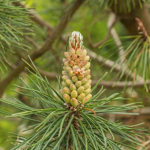
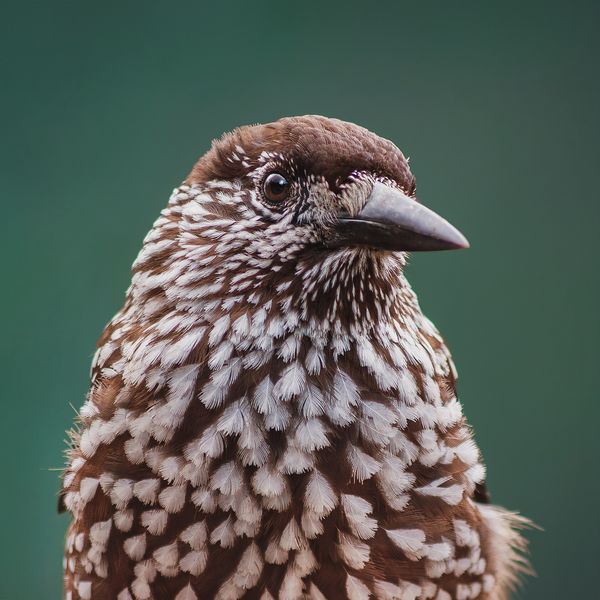
All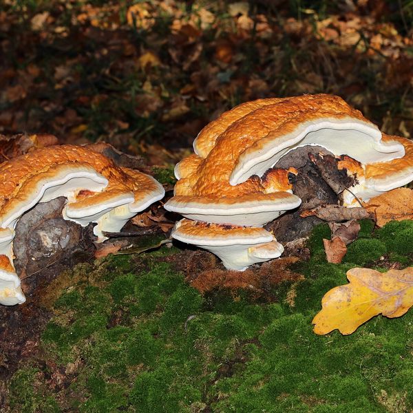
- Brown bears live in this area — how to behave
- Adders live here — what to do after a bite
- Mushroom season — but never identify a mushroom from a photo alone
Based on naturalists’ records nearby (GBIF, iNaturalist), matched by altitude, habitat and season. Sightings are not guaranteed.
Trails nearby
All trails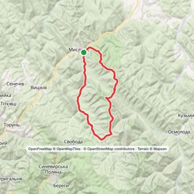 HardTwo-dayMyslivka village loopvia Mount Yayko-Ilemske, Mount Horhan-IlemskyiElevation profile646–1 667 m47.2 kmascent 1 977 m
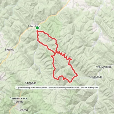 HardMulti-dayMarkedMyslivka village loopvia the Arshytsia ridge, Mount Moloda +1Elevation profile654–1 721 m68.8 kmascent 2 880 m
 HardMulti-dayTatariv village to Myslivka villagevia Mount Syniak, Mount Dovbushanka +6Elevation profile656–1 836 m171.1 kmascent 10 799 m
Craft nearby
All craft places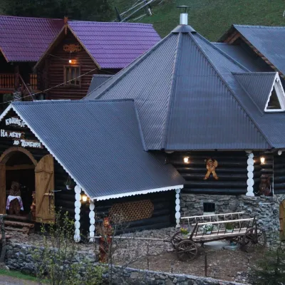 Koliby & Hutsul cuisineKoliba “Na Detsu do Tsimbora”, Synevyrska PolianaSynevyrska Polyana11 km from the trailNa Detsu do Tsimbora is a large kolyba restaurant in Synevyrska Poliana, right where the road starts climbing to Lake Synevyr.
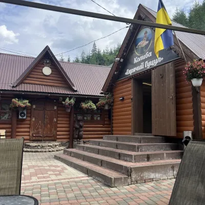 Koliby & Hutsul cuisineKoliba “Hariachyi Hutsul”, Synevyrska PolianaSynevyrska Polyana11 km from the trailKolyba “Hariachyi Hutsul” (“The Hot Hutsul”) is a cosy kolyba-museum in Synevyrska Poliana, on the road to Lake Synevyr.
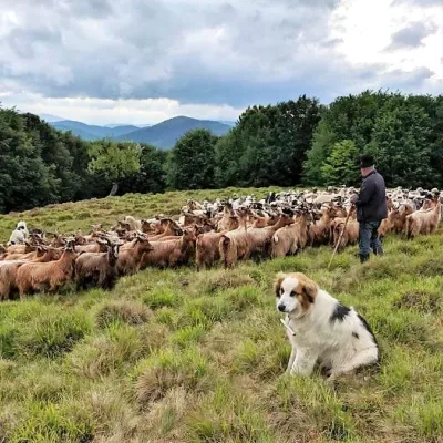 Cheese dairies & pasturesVivcharskyi Khutir Sheep Farm, Synevyrska PolianaSynevyrska Polyana15 km from the trail"Vivcharskyi Khutir" ("Shepherd's Homestead") is an ethno-centre and sheep farm in Synevyrska Poliana, near Lake Synevyr.
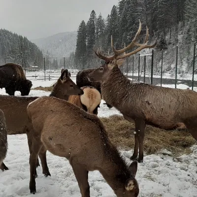 Wildlife parks & animal farmsWolf Valley Eco Park, Synevyrska PolianaSynevyrska Polyana16 km from the trailWolf Valley Eco Park (Dolyna Vovkiv) is a private animal park in Synevyrska Poliana, in the Mizhhiria area of Zakarpattia, where several kinds of wolves, red deer,...
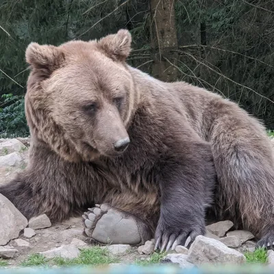 Wildlife parks & animal farmsBrown Bear Rehabilitation Centre, Synevyr National Park, Synevyrska PolianaSynevyrska Polyana18 km from the trailThe Brown Bear Rehabilitation Centre of Synevyr National Nature Park is Ukraine’s largest refuge for bears that have suffered from cruel treatment.
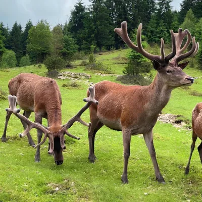 Wildlife parks & animal farmsBioPark Synevyr – Africa in the Carpathians, Synevyrska PolianaSynevyrska Polyana18 km from the trailBioPark Synevyr – Africa in the Carpathians is a hands-on animal park in the Rabachynka area near Synevyrska Poliana, in the valley of the Chorna river.
