Golden cinquefoil
About
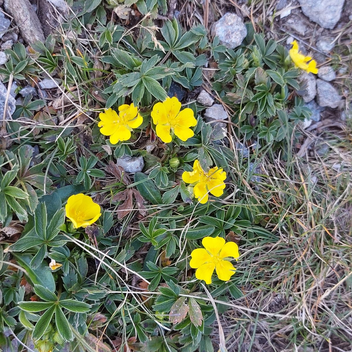
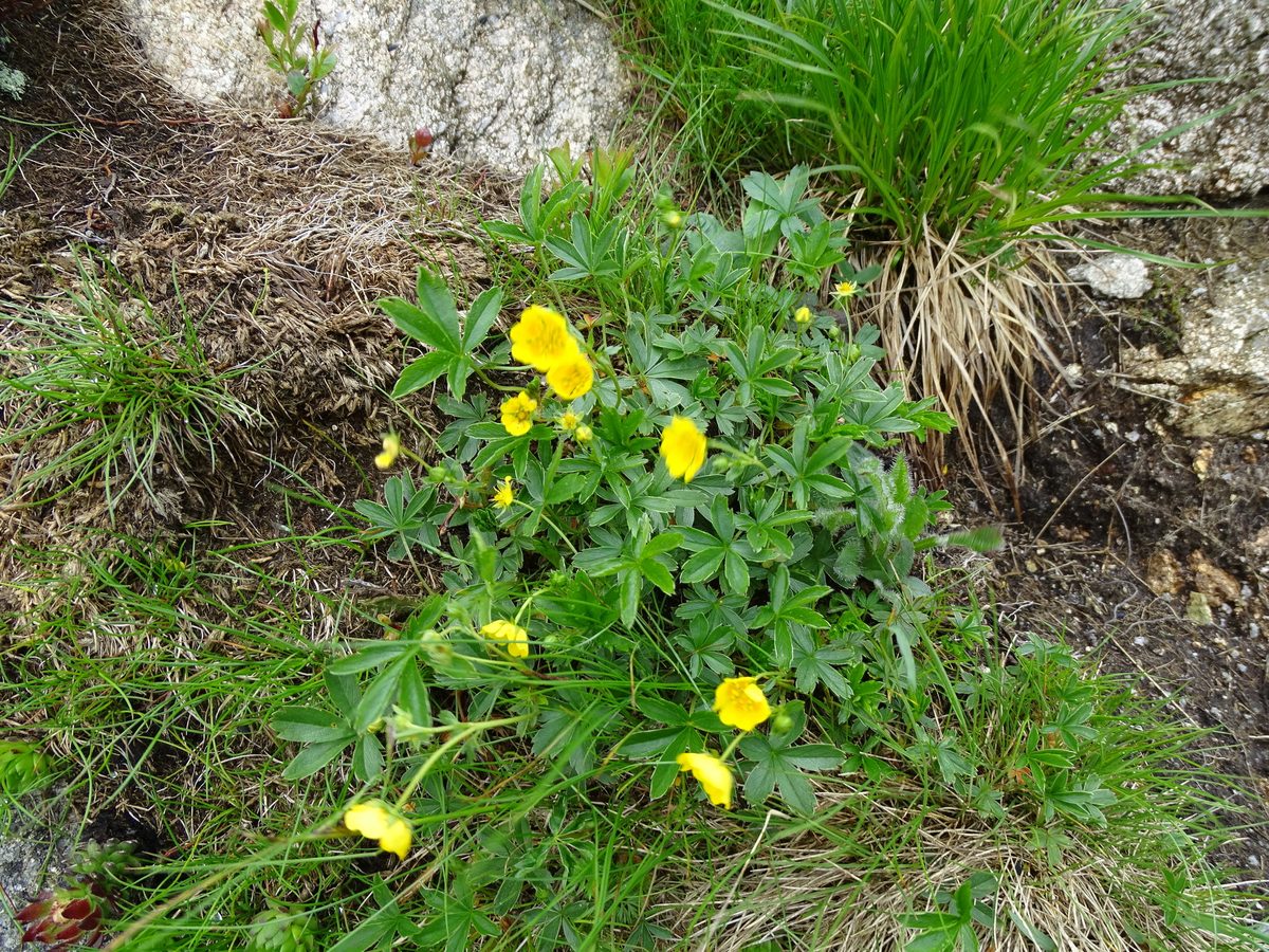
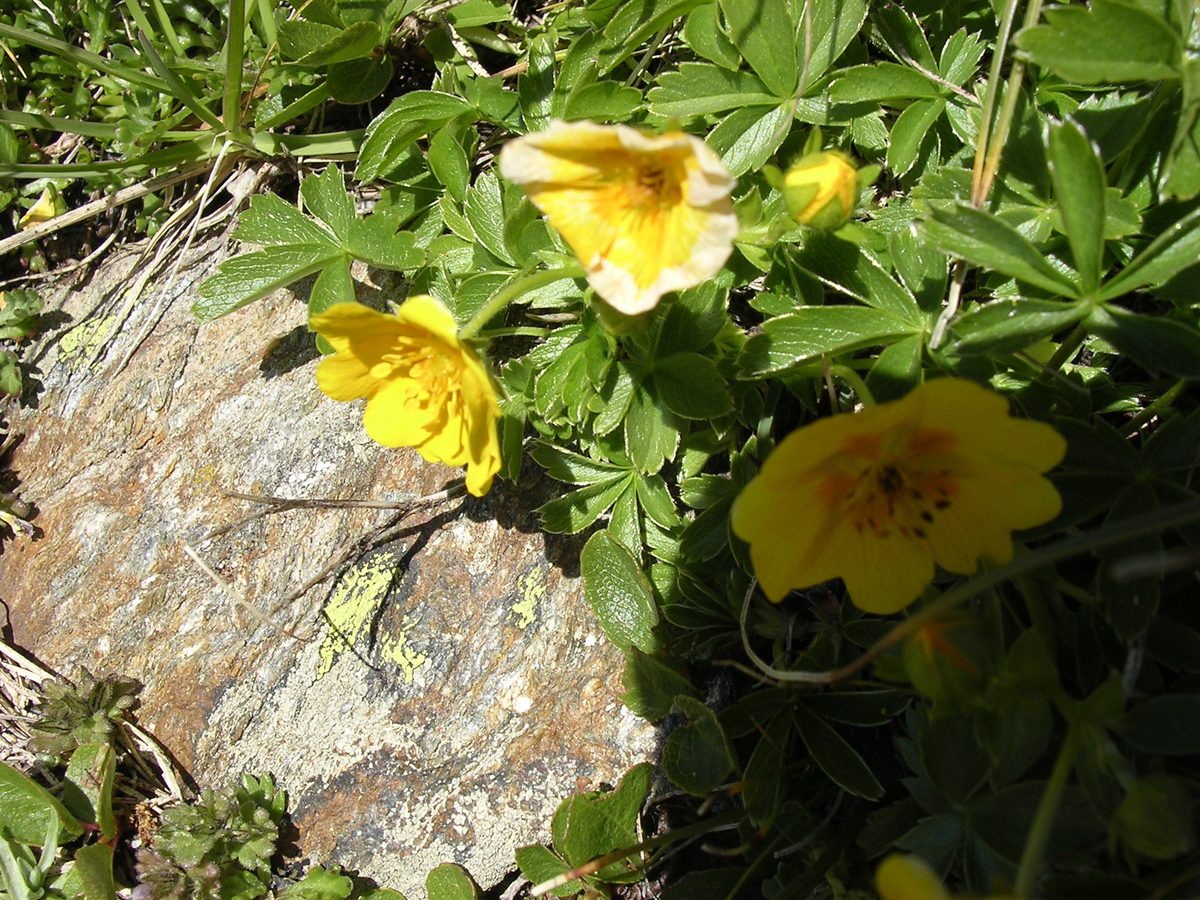
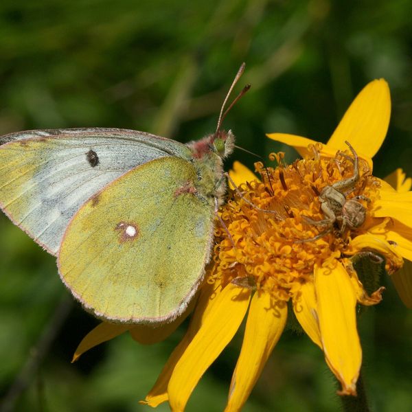
Potentilla aurea is a low perennial herb 5–20 cm tall, forming loose tufts. The basal leaves are palmate, with five elongated leaflets, serrated only at the tip. The edges of the leaflets and the veins on the underside are covered with silvery silky hairs that shine in the sun—this is the most reliable characteristic of the species.
The flowers are 1.5–2.5 cm in diameter, with five golden-yellow petals; at the base of each petal, there is often a darker orange spot. Potentilla aurea blooms from June to August, and in high alpine meadows, also in September.
This is a mountain species of the Alps, Carpathians, and Balkans. In the Ukrainian Carpathians, it grows in alpine meadows, mountain pastures, and hayfields, in bilberry thickets, and on rocky slopes—mainly above 1000 m, up to the alpine zone. Naturalists frequently record it here: on Chornohora, Svydovets, Borzhava, in Horhany, and Maramureș, the yellow stars of Potentilla aurea can be seen along every trail.
Potentilla aurea prefers acidic, poor soils and withstands grazing well, so it is abundant in old alpine meadows.
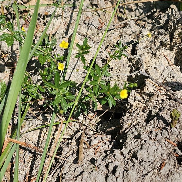
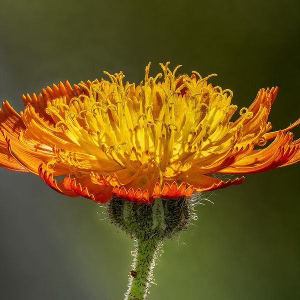
A similar species, Potentilla recta, or rough cinquefoil, grows nearby, but its flower has four petals instead of five. Buttercups differ by their shiny, lacquer-like petals and differently dissected leaves.
Where in the Carpathians

The map shows where naturalists recorded the species (GBIF, CC0 and CC BY records), not every place it lives. The Ukrainian Carpathians are less studied, so a blank area does not mean the species is absent.
- Countries
- Slovakia · Ukraine · Poland · Romania · Czechia
- Mountain ranges
- Western Tatras, Low Tatras, Greater Fatra, High Tatras, Lesser Fatra, Slovak Paradise, Belianske Tatras, Slovak Ore Mountains, Slovak Central Mountains, Volovec Mountains
- Altitude belts
- Beech forests (600–1200 m) · Conifer forests (1200–1600 m) · Subalpine belt (1600–1900 m) · Alpine belt (above 1900 m)
When to see it
| Jan | Feb | Mar | Apr | May | Jun | Jul | Aug | Sep | Oct | Nov | Dec | |
|---|---|---|---|---|---|---|---|---|---|---|---|---|
| Flowering |
From naturalists’ observations in the Carpathians (iNaturalist, research grade): the darker the cell, the more often the species is seen that month.
Protection and rules
Not listed in the Red Book of Ukraine.
FAQ
What yellow flowers grow in the alpine meadows of the Carpathians?
Among the most common is Potentilla aurea: a low plant with five-petaled golden-yellow flowers and palmate leaves with a silvery edge.
How to distinguish Potentilla aurea from Potentilla recta?
In Potentilla aurea, the flower has five petals, while in Potentilla recta, it has four.
Similar species
Where to meet it
Trails
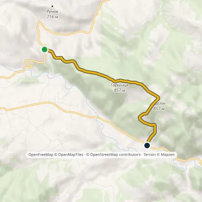 EasyOne-dayMarkedRunok Pass Kosmach villagevia Dovbush Rock, Mount Harshytsia +1Elevation profile560–864 m4.5 kmascent 217 m≈ 1.5 h walking
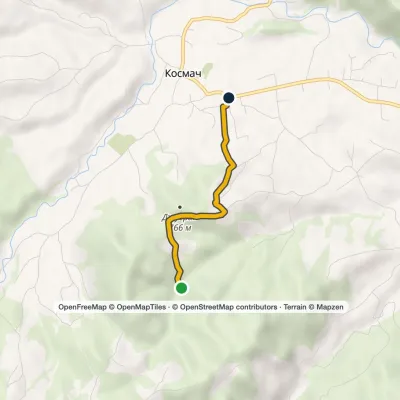 EasyOne-dayMarkedOpryshky RoadElevation profile628–754 m2.5 kmascent 63 m≈ 45 min walking
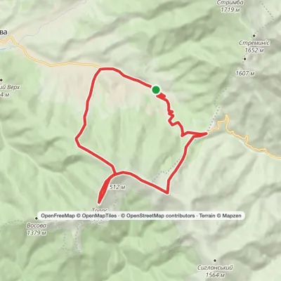 ModerateOne-dayKolochava village loopvia Mount TopasElevation profile632–1 548 m16.2 kmascent 1 030 m≈ 6 h walking
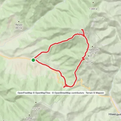 ModerateOne-dayMarkedKolochava village loopvia Mount StrymbaElevation profile637–1 719 m16.2 kmascent 1 086 m≈ 6 h walking
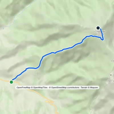 ModerateOne-dayMarkedTo Mount StrymbaElevation profile637–1 719 m5.5 kmascent 1 082 m≈ 3 h walking
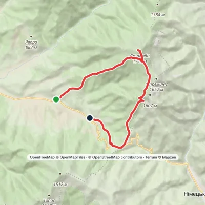 ModerateOne-dayMarkedKolochava village loopvia Mount Strymba, Pryslip PassElevation profile643–1 719 m13.6 kmascent 1 076 m≈ 5 h walking
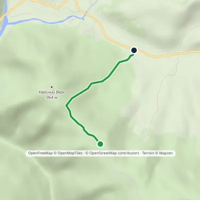 EasyOne-dayMarkedTo Mount Kvasnyi VerkhElevation profile582–984 m2.2 kmascent 402 m≈ 1 h walking
 ModerateOne-dayDragobrat loopvia Mount Blyznytsia, Mount StihElevation profile1 335–1 883 m10.6 kmascent 742 m≈ 4 h walking
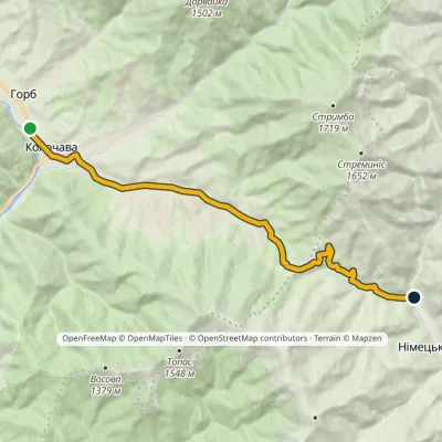 ModerateOne-dayMarkedHorb village sparkling mineral springElevation profile550–926 m14 kmascent 378 m≈ 4 h walking
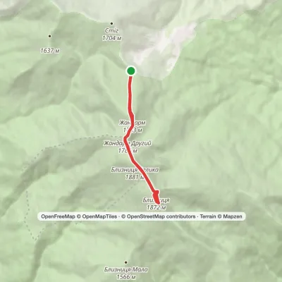 EasyOne-dayMarkedDragobrat loopvia Mount BlyznytsiaElevation profile1 545–1 883 m7.1 kmascent 547 m≈ 2.5 h walking
 Hard1–2 daysDragobrat to Krasna villagevia Mount Stih, Mount Velykyi Kotel +2Elevation profile421–1 762 m35.3 kmascent 871 m≈ 10.5 h walking
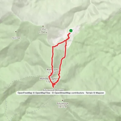 ModerateOne-dayDragobrat loopvia Mount BlyznytsiaElevation profile1 306–1 883 m10.1 kmascent 592 m≈ 3.5 h walking
Peaks and meadows
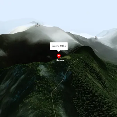 PeakMount YavirnykBerehyaltitude 1 405 m17 trails to the topMount Yavirnyk is located in the Carpathians, near the village of Synevyr, in western Ukraine.
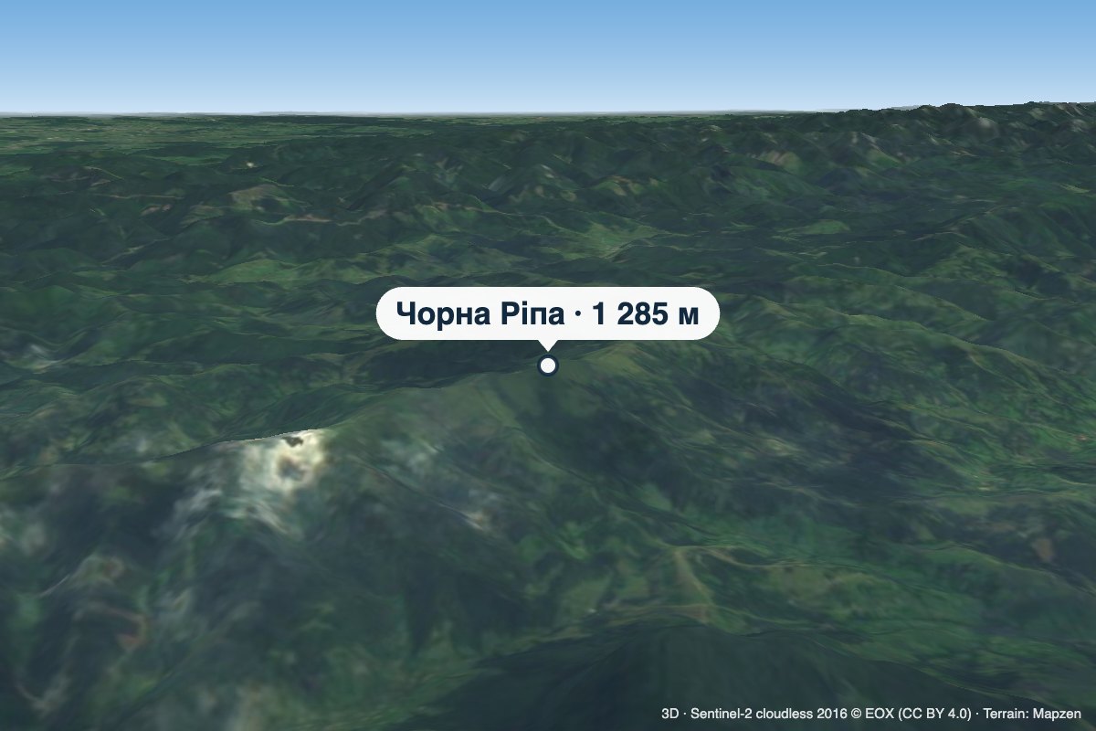 PeakMount Chorna RipaNovoselytsiaaltitude 1 285 m · Watershed Ridge range3 trails to the topChorna Ripa is a 1,285 m summit in the Eastern Beskids, on the Vododilnyi (Verkhovyna Watershed) Ridge.
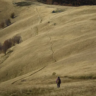 PeakMount TopasKolochavaaltitude 1 548 m · Svydovets rangeTopas is a mountain in the Ukrainian Carpathians, in the Polonyna Krasna massif, Tiachiv district of Zakarpattia Oblast.
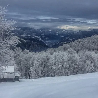 PeakMount SyhlanskyiKolochavaaltitude 1 564 m · Svydovets rangeSyhlanskyi is the highest peak of the Polonyna Krasna massif in the Ukrainian Carpathians.
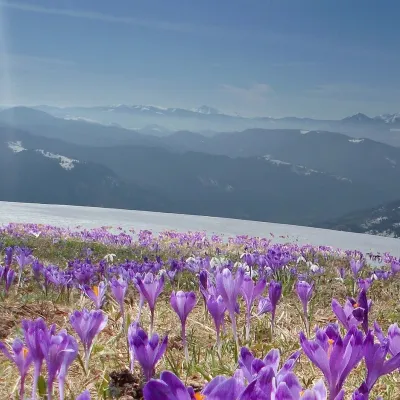 PeakMount Mala BlyznytsiaKvasyaltitude 1 566 m · Svydovets rangeMala Blyznytsia is a 1,566 m summit in the Svydovets range, in the Rakhiv district of Zakarpattia Oblast.
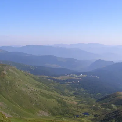 PeakMount Drahobrat (Zhandarm)Drahobrataltitude 1 763 m · Svydovets rangeDrahobrat, also called the First Zhandarm, is a 1,763 m mountain on the Urdu-Flavantuch ridge in the eastern part of...
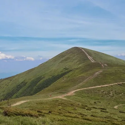 PeakMount Stih (Dragobrat)Yasinyaaltitude 1 704 m · Svydovets range43 trails to the topStih (1704 m; locals say "Stuh") is a peak in the north-eastern part of Svydovets, right above the Drahobrat resort.
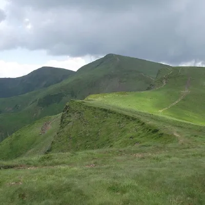 PeakMount BliznytsiaYasinyaaltitude 1 883 m · Svydovets range52 trails to the topBliznytsia (1883 m) is the highest peak of Svydovets, with two similar tops (1883 and 1872 m) above the Drahobrat...
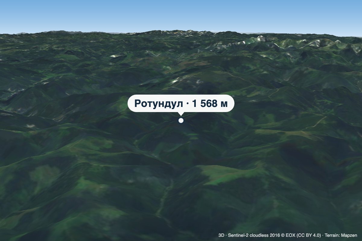 PeakMount RotundulHoloshynaaltitude 1 568 m · Chyvchyny rangeRotundul is a 1,568 m mountain in the Chyvchyn Mountains, part of the Marmarosh Massif.
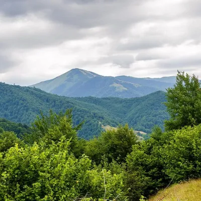 PeakMount StrymbaKolochavaaltitude 1 719 m · Gorgany range4 trails to the topMount Strymba is a 1,719-meter peak of the Ukrainian Carpathians, which lies within the Gorgan mountain range - on...
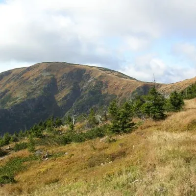 PeakMount Velykyi KotelYasinyaaltitude 1 771 m · Svydovets range39 trails to the topMount Velykyi Kotel is the peak of the Ukrainian Carpathians, which lies within the Svydovets mountain range.
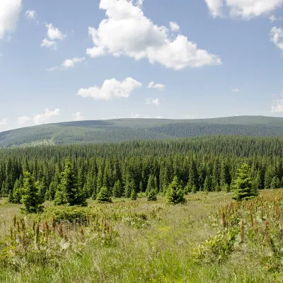 PeakMount PurulKhutir Burkutaltitude 1 616 m · Marmarosh rangePurul (translated from Romanian as "pure") is a 1616-meter peak in the Ukrainian Carpathians, which is located in the...
Waters and waterfalls
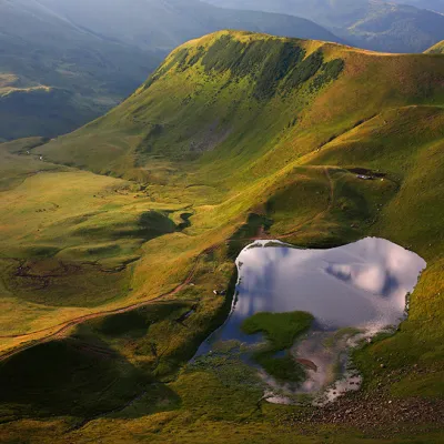 LakeLake Gereshaska (Dogyaska)YasinyaGerashaska (another name - Dogyaska ) is a high-mountain lake in the Ukrainian Carpathians, within the Rakhiv...
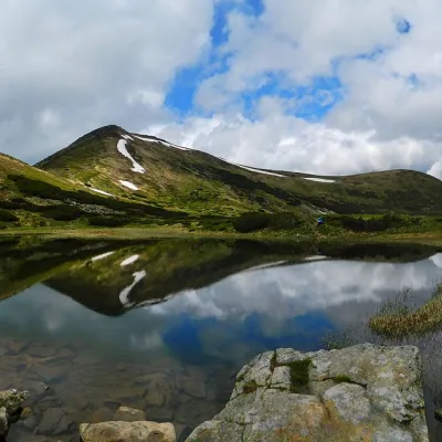 LakeHigh-mountainous Lake Nesamovite (1750 m.a.s.l., Chornohora ridge)VorokhtaNesamovyte is one of the highest lakes in the Ukrainian Carpathians (1750 m above sea level).
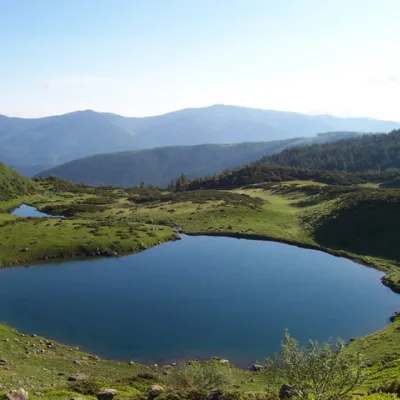 LakeLake VorozheskayaChorna TysaThe real pearl of the Carpathians - Lake Vorozheska (other names - Vorozheska, Triton ) - is a hydrological natural...
Mountain ranges: Chornohora. In other countries: 🇸🇰 Western Tatras, 🇸🇰 Low Tatras, 🇸🇰 Greater Fatra, 🇸🇰 High Tatras, 🇸🇰 Lesser Fatra, 🇸🇰 Slovak Paradise, 🇸🇰 Belianske Tatras, 🇸🇰 Slovak Ore Mountains, 🇸🇰 Slovak Central Mountains, 🇸🇰 Volovec Mountains, 🇸🇰 Spiš Magura, 🇸🇰 Javorníky, 🇸🇰 Choč Mountains
Trails and peaks near which naturalists recorded the species (GBIF, iNaturalist), matched by altitude and habitat. Sightings are not guaranteed.
Sources
- Вікіпедія: Перстач золотистий
- Wikipedia (en): Potentilla aurea
- iNaturalist: Potentilla aurea (спостереження в Карпатах)
GBIF · iNaturalist · Wikidata · Distribution data: GBIF.org (CC0 and CC BY records), iNaturalist; names and identifiers: Wikidata (CC0). Text: Karpaty.rocks, checked 11.11.2026.
