Tormentil
For information only, not medical advice. Do not self-medicate — consult a doctor. Many Carpathian medicinal plants are protected and must not be collected.
About
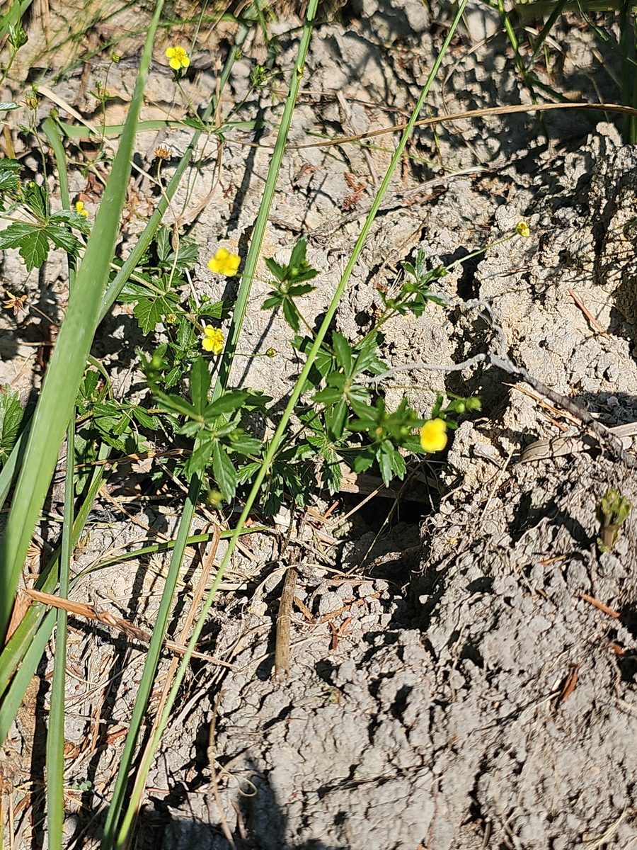
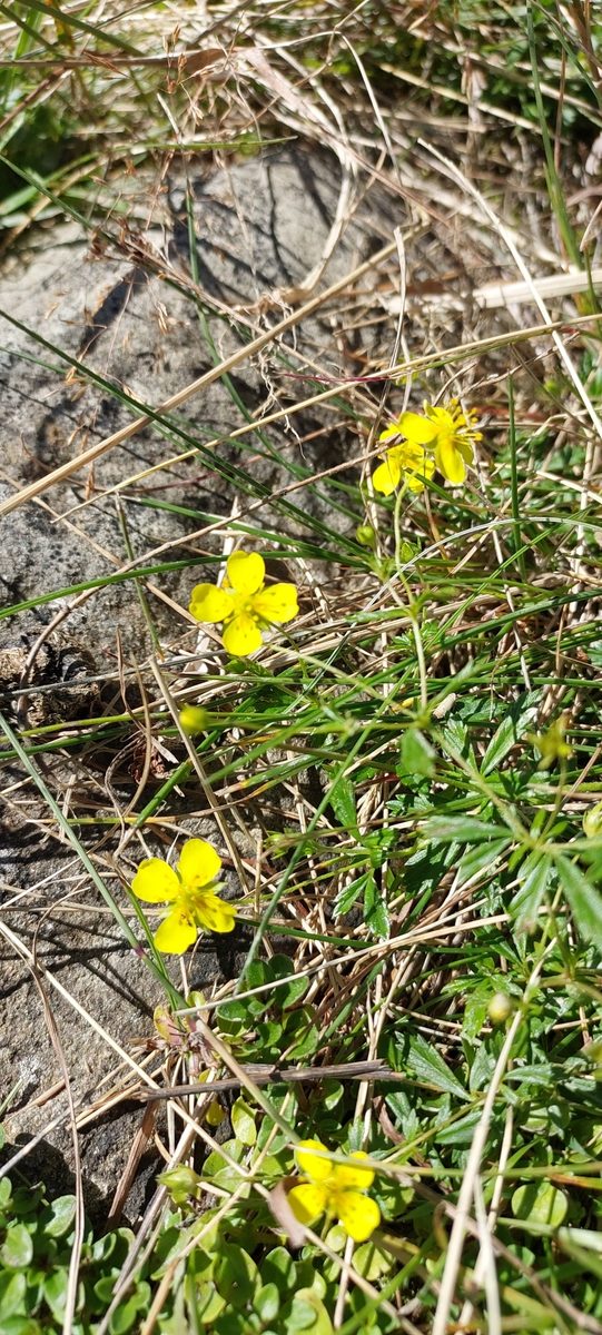
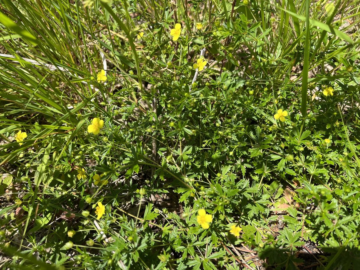
Tormentil, which has long been called kalhan in the Carpathians, is a low perennial herb 15–50 cm tall. It grows throughout Ukraine: in pine and mixed forests, on clearings, dry meadows, and the edges of swamps. It also occurs in mountain meadows and polonynas, where its thin stems stretch among the grasses.
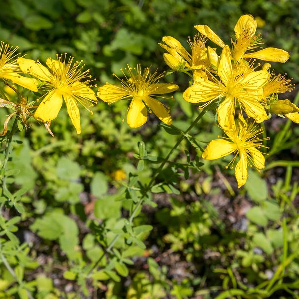
The flowers are solitary, yellow, 7–11 mm in diameter, on long thin pedicels. A distinctive feature that makes Tormentil easy to recognize: the flower almost always has four petals with a notch at the tip, while most related species have five. The leaves are trifoliate, consisting of three serrated leaflets, and the pairs of large leaf-like stipules make them resemble palmate leaves. It blooms from May to September.
Underground, the plant has a thick, bulbous, woody rhizome, which is reddish when cut. It is very rich in tannins—significantly more than is found in herbaceous plants. In the past, it was even used to obtain a red dye for leather. The plant has many folk names: besides kalhan, it is called balaban, derev'yanka, pyatypal or zavyaznyk.
In Carpathian villages, the rhizome of kalhan is traditionally dried and used for herbal teas and homemade bitter tinctures. The plant's reserves are significant but are decreasing due to the drainage of swamps. Remember that in reserves and protected areas of national parks, collecting and digging up plants is prohibited.
Where in the Carpathians

The map shows where naturalists recorded the species (GBIF, CC0 and CC BY records), not every place it lives. The Ukrainian Carpathians are less studied, so a blank area does not mean the species is absent.
- Countries
- Slovakia · Czechia · Ukraine · Poland · Romania · Hungary
- Mountain ranges
- Slovak Ore Mountains, Low Tatras, Strážov Mountains, White Carpathians, Kysuce Beskids, Lesser Fatra, Greater Fatra, Slovak Central Mountains, Moravian-Silesian Beskids, Volovec Mountains
- Altitude belts
- Foothills (below 600 m) · Beech forests (600–1200 m)
When to see it
| Jan | Feb | Mar | Apr | May | Jun | Jul | Aug | Sep | Oct | Nov | Dec | |
|---|---|---|---|---|---|---|---|---|---|---|---|---|
| Flowering | ||||||||||||
| Fruit |
From naturalists’ observations in the Carpathians (iNaturalist, research grade): the darker the cell, the more often the species is seen that month.
In folk tradition
The rhizome of kalhan in the Carpathians is traditionally infused for bitter herbal drinks and dried for teas.
Protection and rules
Not protected. In reserves and protected areas of national parks, collecting and digging up plants is prohibited.
FAQ
What is kalhan in the Carpathians?
This is how Tormentil is called in the Carpathians—a low plant with yellow four-petaled flowers. Its reddish rhizome is traditionally used for tinctures and teas.
How to recognize Tormentil?
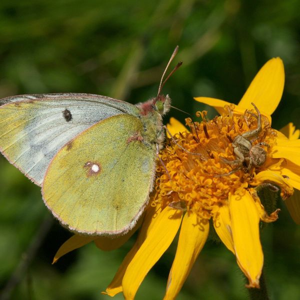
By its small yellow flowers with four petals, not five like most Tormentils, and by its trifoliate leaves with large stipules.
Similar species
Where to meet it
Trails
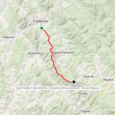 ModerateTwo-dayMarkedSlavske Obnoha tractvia Mount Chorna RipaElevation profile603–1 287 m17.2 kmascent 883 m≈ 6 h walking
 HardTwo-dayVolovets village loopvia Mount Velykyi VerkhElevation profile484–1 598 m21.5 kmascent 1 322 m≈ 8 h walking
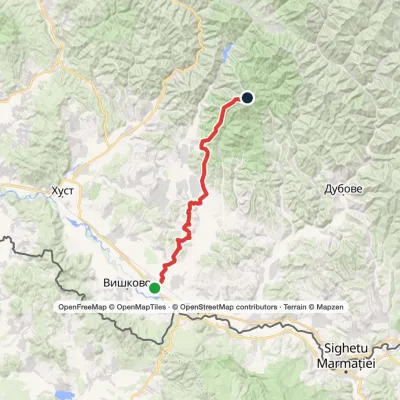 HardMulti-dayBushtyno to Mount Manchulvia Zanivka tractElevation profile208–1 501 m45.5 kmascent 2 029 m
 HardMulti-dayShybene village loopvia Mount Stih, Mount Reheska +1Elevation profile847–1 571 m32.2 kmascent 897 m≈ 10 h walking
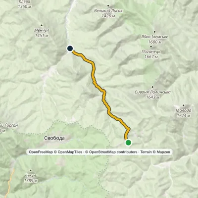 EasyOne-dayMarkedHycha BeskydElevation profile810–1 285 m9.6 kmascent 23 m≈ 2.5 h walking
 HardMulti-dayMarkedVolovets to Vovchyi villagevia Mount Velykyi Verkh, Mount StiyElevation profile288–1 681 m29.5 kmascent 1 399 m≈ 10 h walking
 EasyOne-dayTuria Poliana village Voievodyn WaterfallElevation profile431–878 m7 kmascent 447 m≈ 2.5 h walking
 ModerateOne-dayLumshory village Mount Liutianska HolytsiaElevation profile446–1 375 m8.8 kmascent 929 m≈ 4 h walking
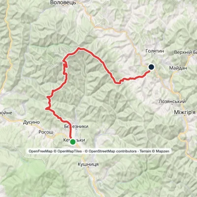 HardMulti-dayKerechky village to Rychka villagevia Mount Stiy, Mount Velykyi Verkh +2Elevation profile266–1 681 m48.3 kmascent 2 244 m
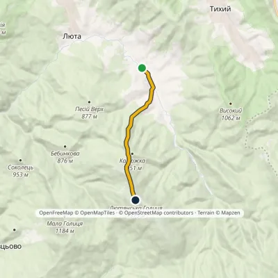 ModerateOne-dayMarkedLiuta village Mount Liutianska Holytsia (yellow trail)Elevation profile507–1 375 m7.2 kmascent 868 m≈ 3.5 h walking
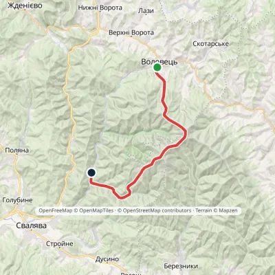 HardMulti-dayVolovets to Vovchyi villagevia Mount Plai, Mount Velykyi Verkh +2Elevation profile290–1 681 m26.6 kmascent 1 423 m≈ 9.5 h walking
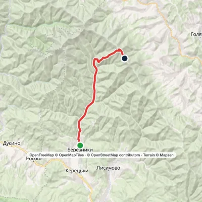 ModerateTwo-dayBerezniky village Mount Zhyd-MahuraElevation profile305–1 517 m17.4 kmascent 1 216 m≈ 7 h walking
Peaks and meadows
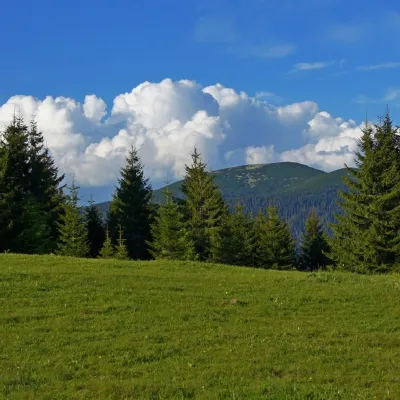 Mountain meadowPolonyna HychaSvobodaPolonyna Hycha is a cozy meadow in the Ukrainian Carpathians, located in the Rozhniativ district of Ivano-Frankivsk...
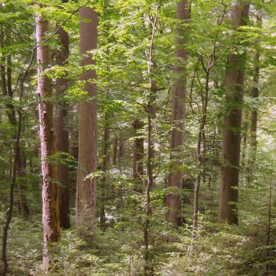 PeakMount KalnytsiaStuzhytsiaaltitude 1 004 mKalnytsia (Slovak: Kalnica) is a 1,004 m mountain on the state border between Ukraine and Slovakia, in the Bukovské...
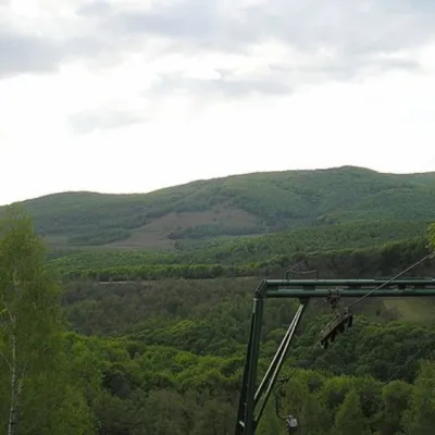 PeakMount BuzhoraOsiialtitude 1 085 m · Volcanic Carpathians range1 trail to the topMount Buzhora is the highest peak of the Volcanic Ridge of Ukrainian Carpathians.
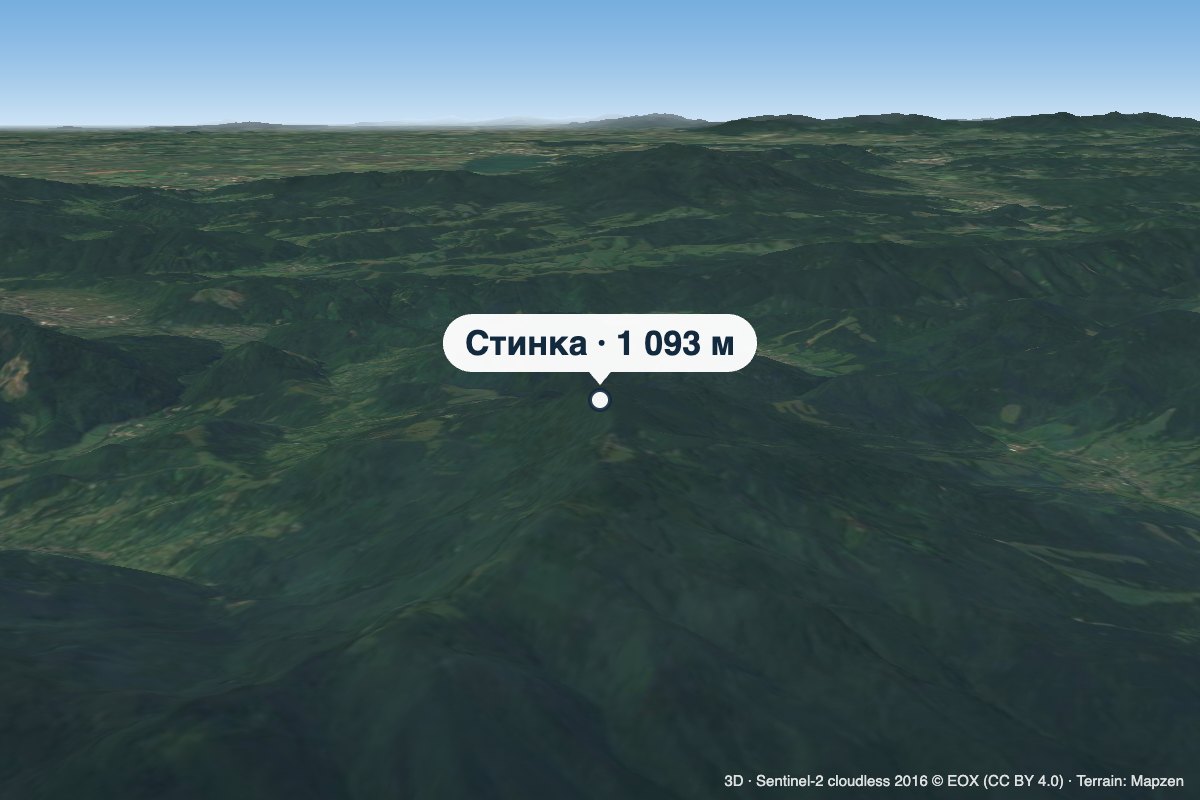 PeakMount StynkaKniahyniaaltitude 1 093 mStynka (Slovak: Stinská) is a 1,093 m mountain on the state border between Ukraine and Slovakia, in the Bukovské...
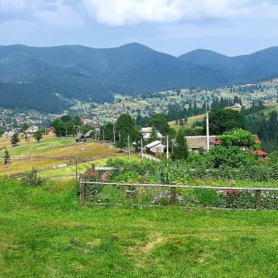 PeakMount OseredokVorokhtaaltitude 915 m · Chornohora range1 trail to the topOseredok is a modest 915 m summit right above Vorokhta (about 2 km), north of the Chornohora range, in Ivano...
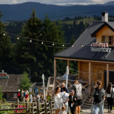 Mountain meadow940 mPolonyna Pertsi Ethno Park, YablunytsiaYablunytsiaPolonyna Pertsi (“Pepper Meadow”) is an ethno park of Hutsul traditions in Yablunytsia, close to the Yablunytsia Pass.
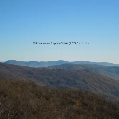 PeakMount Vitrova-SkalaMyrchaaltitude 1 025 m · Volcanic Carpathians rangeVitrova-Skala (Slovak: Vetrová skala) is a 1,025 m (more precisely 1,024.5 m) mountain in the volcanic Vihorlat massif.
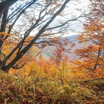 PeakMount Dil (Krushelnytsia)Krushelnytsiaaltitude 899 m · Skole Beskids rangeIt lies north-east of the Parashka ridge, about 2.6 km from Parashka itself (1,268 m), and rises above the village of...
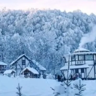 PeakMount TsetsynoChernivtsialtitude 537 mTsetsyno is the highest hill of the Chernivtsi Upland, 537 m high (538 m according to other data).
Waters and waterfalls
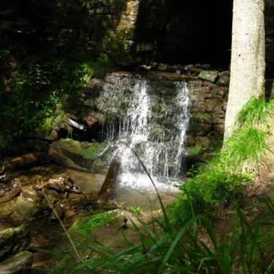 WaterfallLumshory waterfallsLumshoryLumshory waterfalls are a group of waterfalls in the Ukrainian Carpathians, a hydrological natural monument of local...
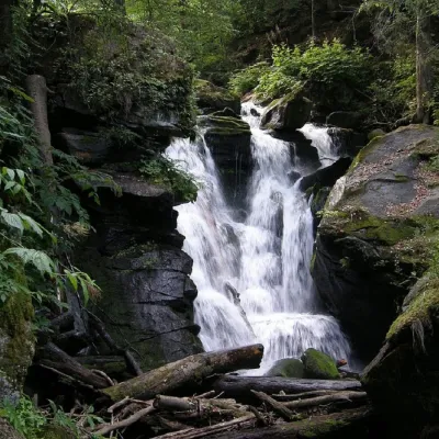 WaterfallVojvodyn waterfallPolianska HutaThe Voyevodyn Waterfall is located on the stream of the same name near the village of Zhdeniyevo in Zakarpattia...
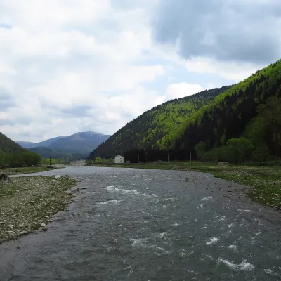 RiverTereblia RiverKolochavaThe Tereblia begins in the Inner Gorgany, where the Roztoka and Sloboda streams meet, and flows through Synevyrska...
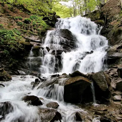 Waterfall"Shypit Waterfall" PylypetsPylypetsIn a cozy corner of the Carpathian Mountains, among the evergreen mountain forests and steep, sharp cliffs, lies the...
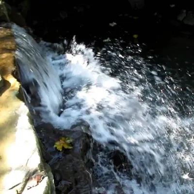 WaterfallBagrovetsky waterfallYaremcheBagrovetsky Waterfall is one of the most famous waterfalls in the Yaremche region, located in the city of Yaremche.
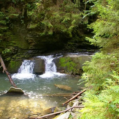 WaterfallWaterfall Maiden's Tears, YaremcheYaremcheMaiden's Tears is a waterfall in the Ukrainian Carpathians (Gorgany massif).
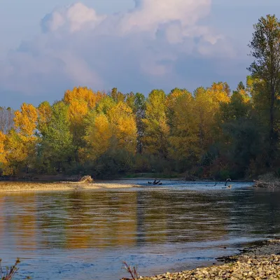 RiverTysa River (Tisza)RakhivThe Tysa (Tisza) is the main river of Zakarpattia. It begins on the north-eastern edge of Rakhiv, where the Chorna...
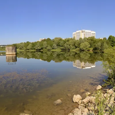 LakeTruskavets ReservoirTruskavetsTruskavets Reservoir, known locally as Lake Solonytsia, lies on the south-eastern edge of Truskavets, next to the...
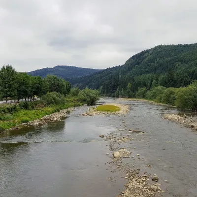 RiverOpir RiverSkoleThe Opir is a 58-km mountain river of the Skole Beskids. It rises on the eastern slope of Mount Velykyi Yavirnyk,...
Mountain ranges: Bieszczady. In other countries: 🇸🇰 Slovak Ore Mountains, 🇸🇰 Low Tatras, 🇸🇰 Strážov Mountains, 🇨🇿 White Carpathians, 🇸🇰 Kysuce Beskids, 🇸🇰 Lesser Fatra, 🇸🇰 Greater Fatra, 🇸🇰 Slovak Central Mountains, 🇨🇿 Moravian-Silesian Beskids, 🇸🇰 Volovec Mountains, 🇵🇱 Żywiec Beskids, 🇸🇰 Slovak Paradise, 🇵🇱 Low Beskids
Trails and peaks near which naturalists recorded the species (GBIF, iNaturalist), matched by altitude and habitat. Sightings are not guaranteed.
Sources
- Вікіпедія: Перстач випрямлений
- Wikipedia (en): Potentilla erecta
- iNaturalist: Potentilla erecta (спостереження в Карпатах)
GBIF · iNaturalist · Wikidata · Distribution data: GBIF.org (CC0 and CC BY records), iNaturalist; names and identifiers: Wikidata (CC0). Text: Karpaty.rocks, checked 09.11.2026.
