Liuta village — Mount Liutianska Holytsia (yellow trail)
Trail map
Route, springs and shelters: © OpenStreetMap contributors (ODbL) · elevation: Copernicus DEM © DLR e.V., © Airbus DS · Data & licences
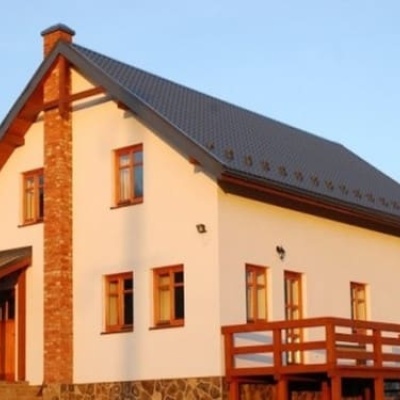
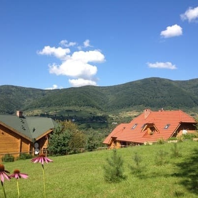
Where to stay nearby
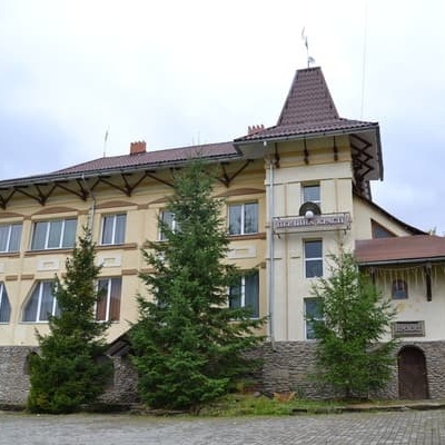
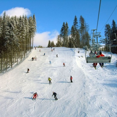
About the trail
Route Liuta village – Mount Liutianska Holytsia (yellow trail). Has yellow marking (local route, Značené trasy). Waymarking data: OpenStreetMap (© OpenStreetMap contributors, ODbL).
Officially marked local tourist route. The marking is yellow, the sign is a horizontal stripe on a white background. Marked and maintained by: Značené trasy. Length of the route — 7.2 km. Location: mountain range — Polonyna Rivna, Zakarpattia region.
At a glance
A one-day route of 7.2 km with 868 m of ascent from Liuta village to Mount Liutianska Holytsia (yellow trail). Estimated walking time: about 3.5 h, not counting stops. Difficulty: moderate. Waymarking: yellow.
Route stages
- 0–7 kmClimb of 850 m to Mount Liutianska Holytsia (1,375 m)
Steepest kilometre: km 5–6, a climb of 210 m (≈21%).
Water and overnight stays
A spring near the trail: at km 5.
Places to stay near the start: Liuta.
When to go
Best time: May to October. In winter deep snow is possible, so experience and winter gear are needed.
Getting there
Start: Liuta village. Most places to stay near the start are in Liuta. This is a one-way route: the finish is 6 km from the start in a straight line, so plan your way back in advance.
FAQ
- How long does the route take?
- Estimated walking time: about 3.5 h, not counting stops.
- Is there water on the route?
- A spring near the trail: at km 5.
- Where can I stay overnight?
- Places to stay near the start: Liuta.
Water and shelter on the route
- Spring below Mount Liutianska Holytsia (5)km 4.9 from the start · Not verified · 1 007 m
Wildlife along the route
All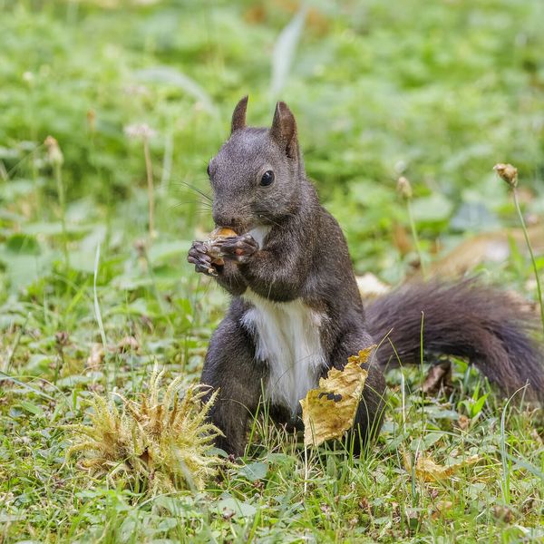
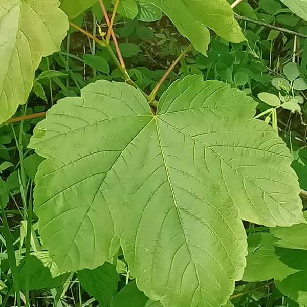
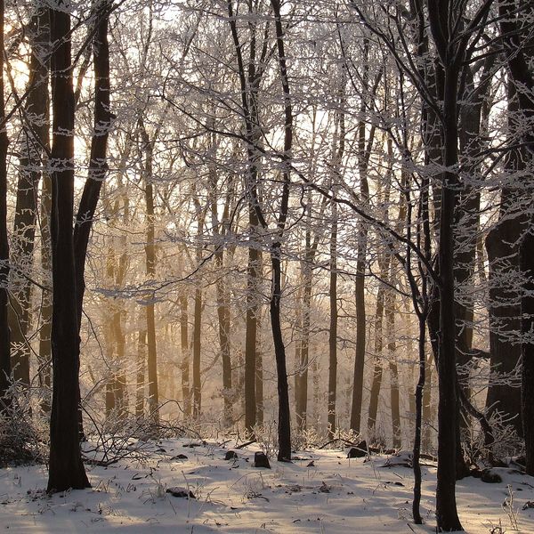
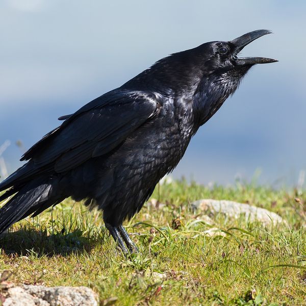

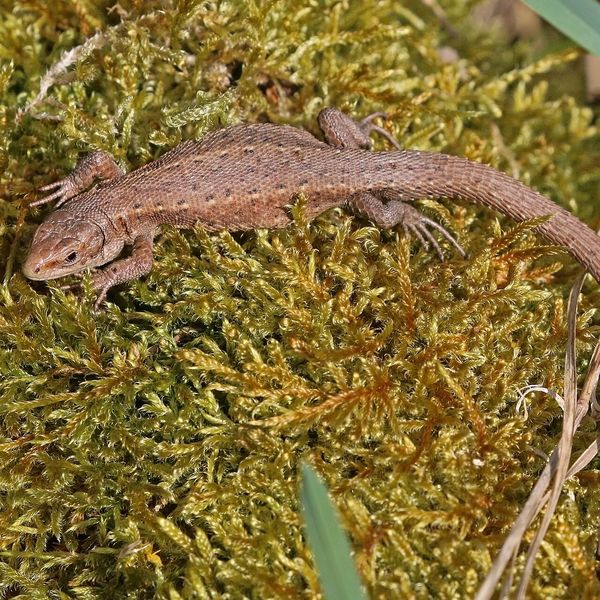
Based on naturalists’ records nearby (GBIF, iNaturalist), matched by altitude, habitat and season. Sightings are not guaranteed.
Before you go, check the border-regime restrictions: Border Guard permit for mountain hikes (in Ukrainian)
Comments
Trails nearby
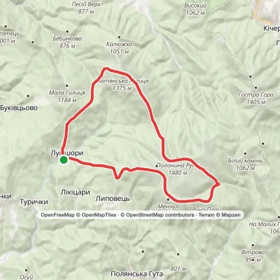
All trails ModerateOne-dayLumshory village Mount Liutianska HolytsiaElevation profile446–1 375 m8.8 kmascent 929 m≈ 4 h walking
 HardMulti-dayLumshory village loopvia Voievodyn WaterfallElevation profile441–1 474 m30.6 kmascent 2 256 m≈ 12 h walking
 HardMulti-dayKostryno village to Pastilky villagevia Vyshka village, Liuta village +2Elevation profile167–1 480 m79.8 kmascent 3 004 m
Craft nearby
All craft places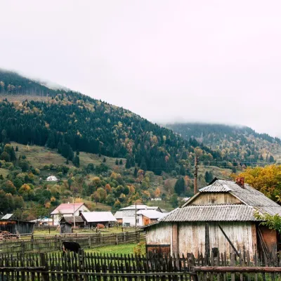 Cheese dairies & pasturesBilasovytsi Cheese Dairy, BilasovytsiaBilasovytsia23 km from the trailBilasovytsi Cheese Dairy is a small family dairy in the Transcarpathian village of Bilasovytsia, set at about 600 metres above sea level at the foot of Mount Pikui.
 Eco farmsCsiga-Biga “Merry Stable” Farm, Velykyi BereznyiVelykyi Bereznyi24 km from the trailVesela Stainia Csiga-Biga (“The Merry Stable”) is a small family farm in the town of Velykyi Bereznyi in the Uzh valley.
 Cheese dairies & pasturesTurianskyi Dvir Estate Cheese Dairy, Turia PolianaTurya Polyana24 km from the trailTurianskyi Dvir is a private country estate on the shore of a mountain lake in the village of Turia Poliana in the Perechyn area, about 50 kilometres from Uzhhorod.
 Honey & meaderiesTurianskyi Med Apiary, Turia RemetaTuri Remety24 km from the trailTurianskyi Med («Turia Honey») is the family apiary of Myroslava and Viktor Minkovych in Turia Remeta, a picturesque village in the Turia river valley near Perechyn.
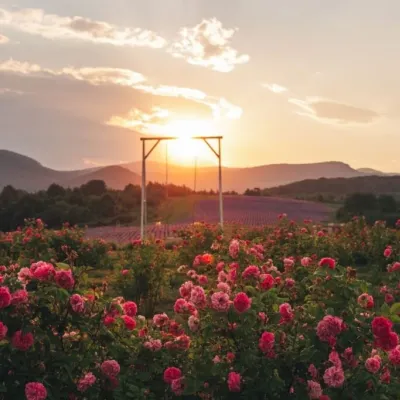 Eco farmsLavandova Hora lavender farm, PerechynPerechyn28 km from the trailLavandova Hora (“Lavender Hill”) is a family farm on the edge of Perechyn that in just a few years has turned an ordinary hill above the town into one of the most...
 Craft producersKarpaty Nasolodzhuisia juices & jams, PerechynPerechyn29 km from the trail“Karpaty Nasolodzhuisia” (Carpathians, Enjoy) is a brand of the company Dzherela Karpat from Perechyn, a small town in the Uzh valley.
