Turíčka – Vartovka
Trail map
Route, springs and shelters: © OpenStreetMap contributors (ODbL) · elevation: Copernicus DEM © DLR e.V., © Airbus DS · Data & licences
About the trail
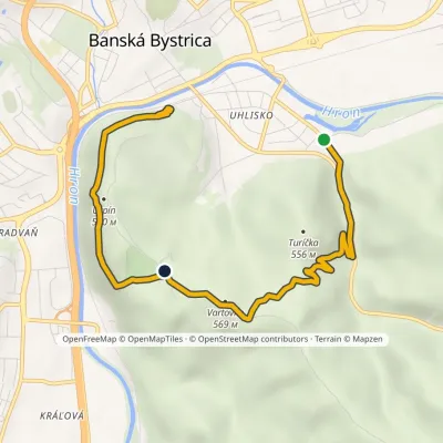
Route Turíčka – Vartovka. Has blue marking (local route №2795M, KST). Waymarking data: OpenStreetMap (© OpenStreetMap contributors, ODbL).
Officially marked local tourist route No. 2795M. The marking is blue, with a triangle in the corner on a white background. Marked and maintained by: KST. Route length — 4.8 km. Location: mountain range — Low Tatras, Slovakia.
At a glance
A short route of 4.8 km with 180 m of ascent from Turíčka to Vartovka. Estimated walking time: about 1.5 h, not counting stops. Difficulty: easy. Waymarking: blue.
How we estimate walking time
By Naismith's rule, used by mountain clubs and guidebooks: an average hiker walks 4 km an hour on the flat and needs one more hour for every 600 m of ascent. For this trail: 4.8 km ÷ 4 = 1.2 h + 180 m ÷ 600 = 0.3 h, about 1.5 h of walking in total.
- Breaks, snacks and photos: add 20–30 %.
- A heavy pack, children, snow, a wet path or windfall add more; a long steep descent also takes time, especially for the knees.
- The height of the Carpathians (up to 2,655 m) hardly changes the pace — on the ridges wind, fog and weather slow you down.
- Limits: up to 9 h is one day; 9–13 h is a very long day or two; over 13 h means several days with overnight stays.
Route stages
- 0–2 kmClimb of 160 m (up to 538 m)
- 2–5 kmDescent of 120 m to Vartovka
Steepest kilometre: km 0.5–1.5, a climb of 120 m (≈12%).
Water and overnight stays
Our map shows no springs near the trail — bring your own water (at least 1 l).
When to go
The route can be walked most of the year; it is most comfortable from April to October.
Getting there
Start: Turíčka.
FAQ
- How long does the route take?
- Estimated walking time: about 1.5 h, not counting stops.
- Is there water on the route?
- Our map shows no springs near the trail — bring your own water (at least 1 l).
Comments and trail condition
Travellers’ experience: reports, tips, questions.
No one has reported on this trail yet. Been here lately? Tell others what it is like now.
Wildlife along the route
All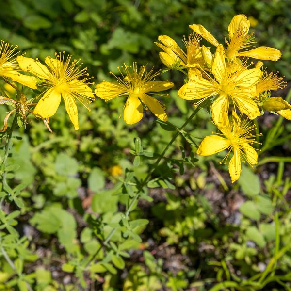
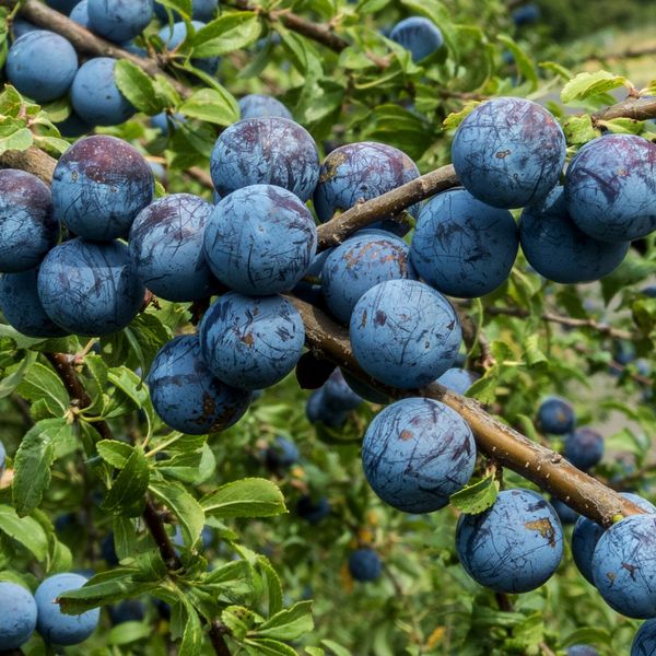
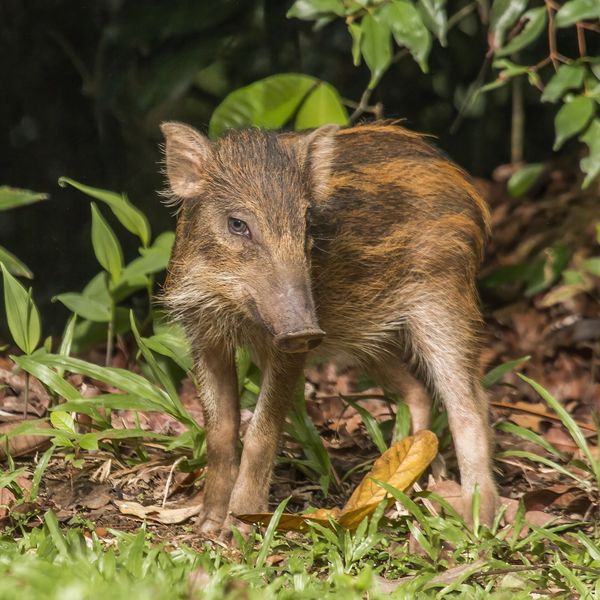
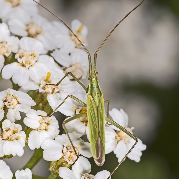
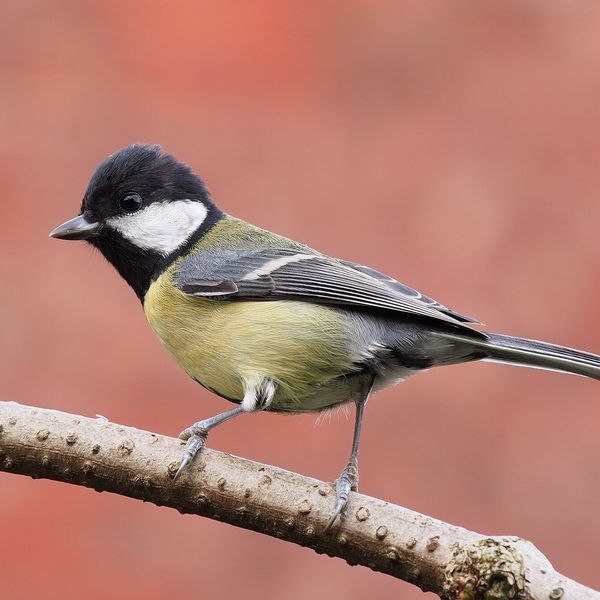
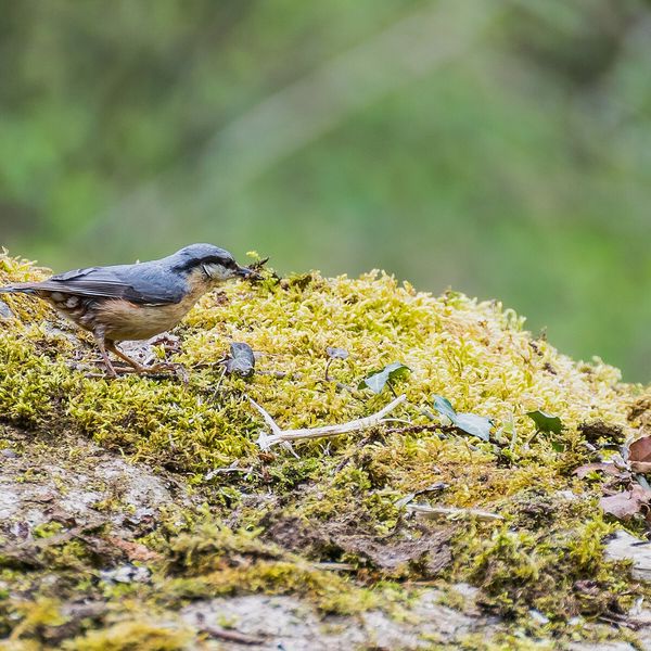
Based on naturalists’ records nearby (GBIF, iNaturalist), matched by altitude, habitat and season. Sightings are not guaranteed.
Trails nearby
All trails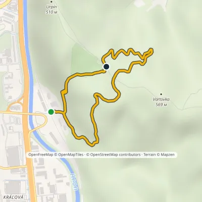 EasyOne-dayMarkedRadvaň VartovkaElevation profile337–519 m3.5 kmascent 322 m≈ 1.5 h walking
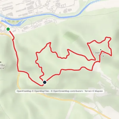 EasyOne-dayMarkedBanská Bystrica, Podryba Stará kopa (loop)Elevation profile353–713 m7.9 kmascent 402 m≈ 2.5 h walking
 EasyOne-dayMarkedBanská Bystrica PodrybaElevation profile353–569 m6.1 kmascent 398 m≈ 2 h walking
Craft nearby
All craft places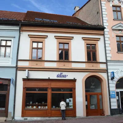 Craft shopsÚĽUV Banská Bystrica: folk-craft shop and craft schoolBanská Bystrica1.2 km from the trailÚĽUV (Ústredie ľudovej umeleckej výroby, the Centre for Folk Art Production) is a state institution that has looked after Slovak folk crafts since 1945: it keeps a...
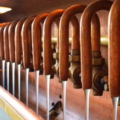 Craft beer & breweriesUrpiner brewery in Banská Bystrica: tour and beer from the tankBanská Bystrica3 km from the trailBanská Bystrica is the centre of Central Slovakia and grew rich on copper mining in the 14th–16th centuries.
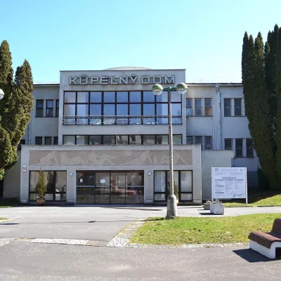 Water parks & thermal poolsSliač spa: warm carbonated water and a thermal swimming areaSliač13 km from the trailSliač is a spa in the Zvolen Basin above the Hron valley, between Zvolen and Banská Bystrica. The spa quarter with its 46-hectare park lies on a slope above the former...
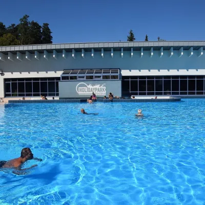 Water parks & thermal poolsKováčová: thermal spa and Holidaypark aquapark near ZvolenKováčová14 km from the trailKováčová is a spa village on the south-western edge of the Zvolen Basin, 4 km west of Zvolen at the foot of the Kremnica Mountains; the village centre lies at 303 m.
 Craft producersKremnica gingerbread: the Haurík family bakery since 1922Kremnica18 km from the trailKremnica is an old mining town in the Kremnica Mountains where coins have been struck for more than six centuries.
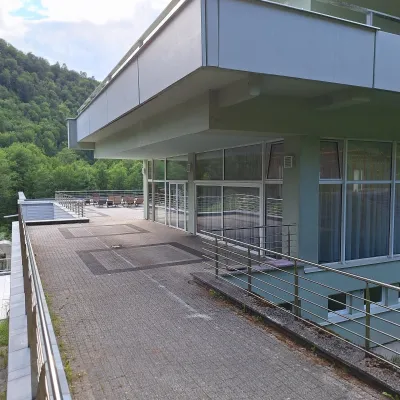 Water parks & thermal poolsBrusno Spa: mineral springs, treatments and Caracalla SpaBrusno19 km from the trailBrusno Spa (Kúpele Brusno) lies in the Hron valley (Horehronie), about 20 km north-east of Banská Bystrica, on the northern slopes of the Vepor massif in the Slovak...
