Mount Tymkiv Verkh
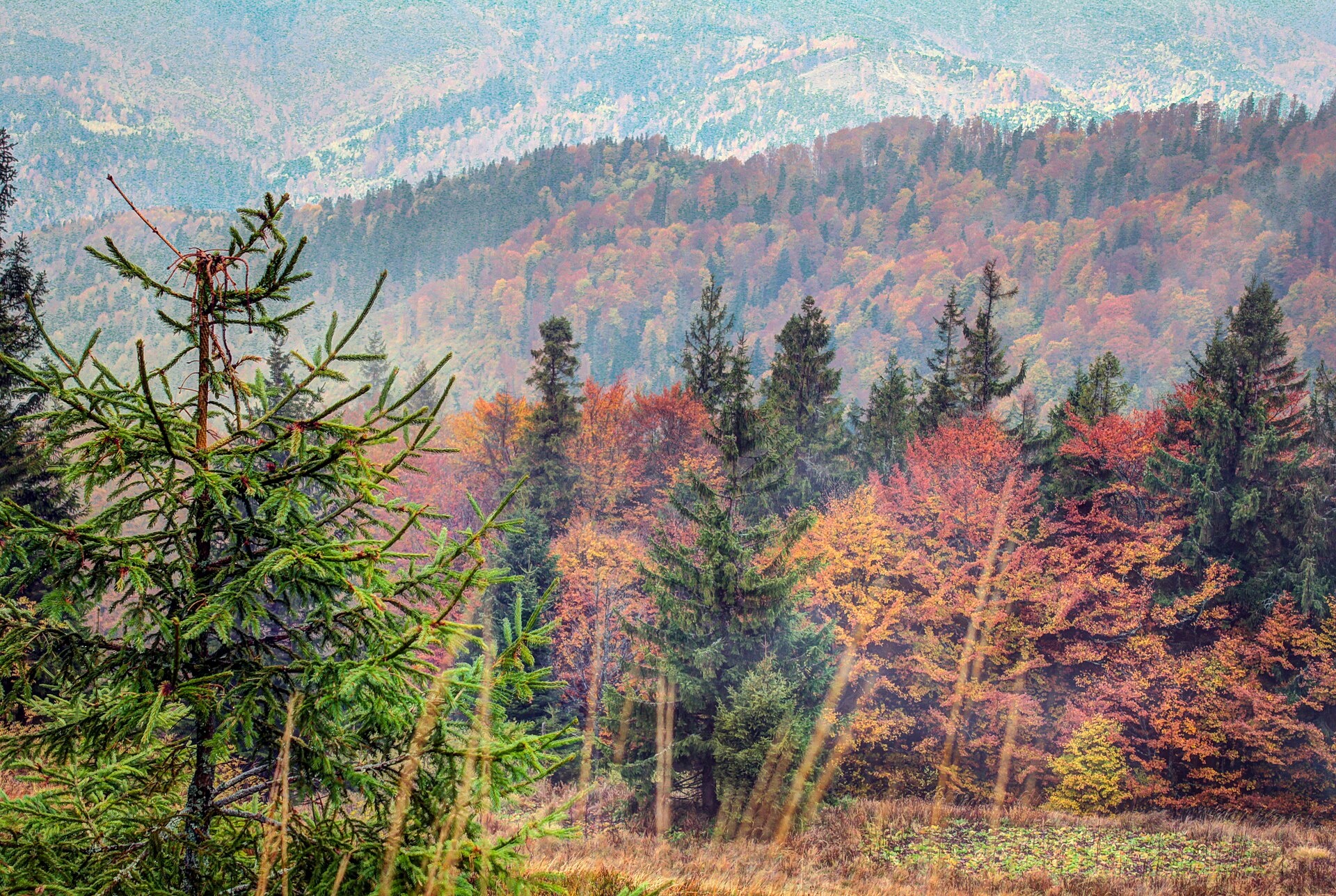
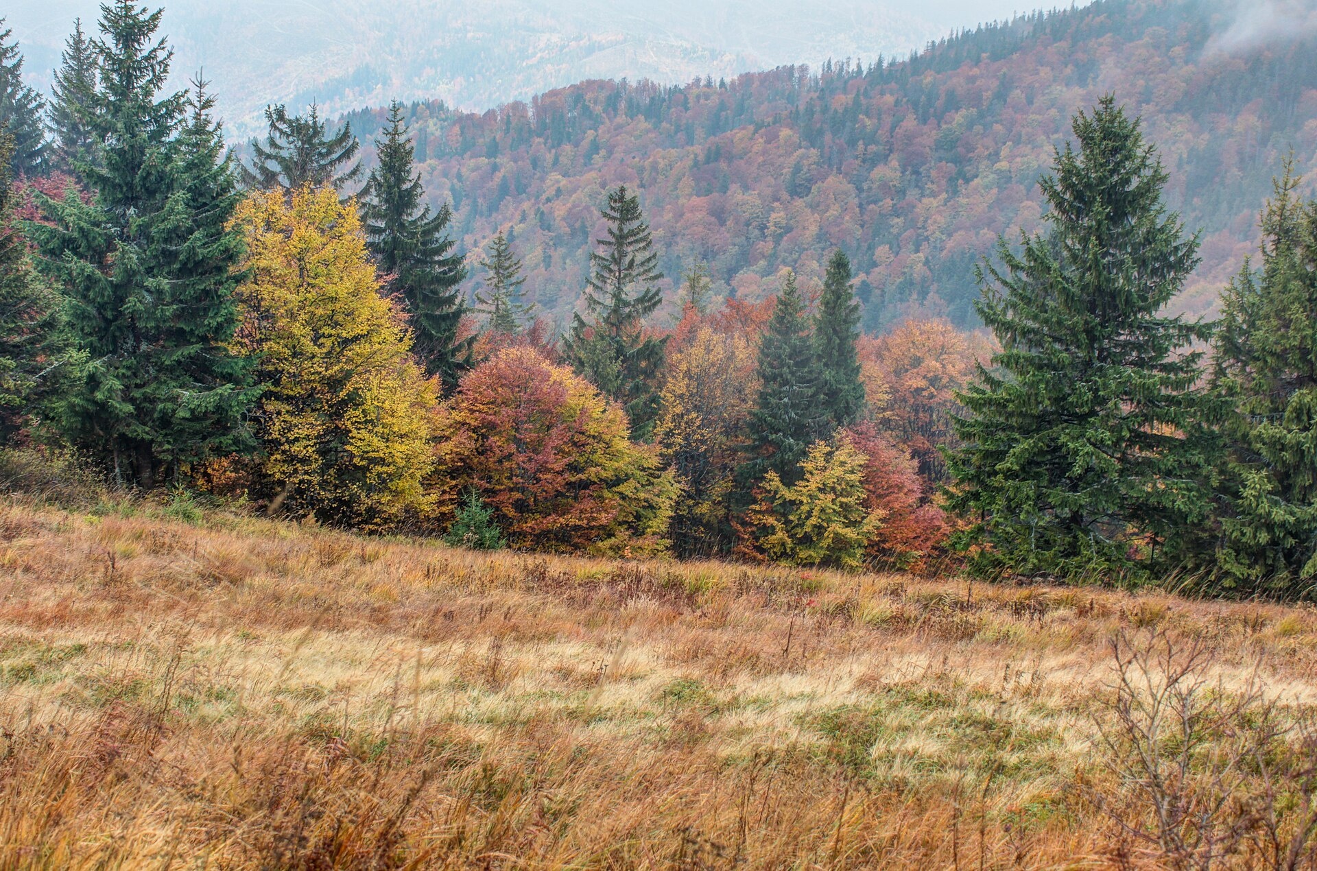
Tymkiv Verkh (also spelled Tymkyn Verkh) is a 1,227 m summit on the Parashka ridge in the Skole Beskids, Lviv Oblast. After Parashka itself (1,268 m), less than 1 km to the north-west, it is the second highest summit of the ridge. The nearest settlements are Korostiv and Krushelnytsia (both about 6.2 km away) and Skole (about 7 km).
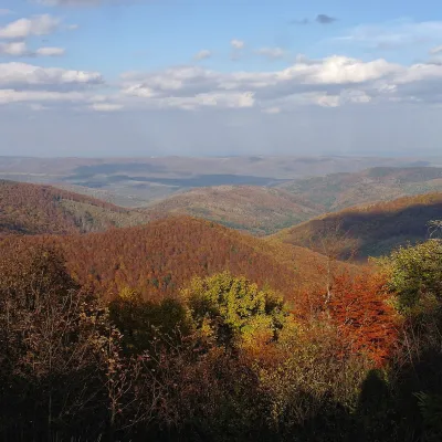
The crest is narrow here: about 800 m to the south-east rises Zelena (1,217 m), about 1.2 km to the west stands Olenyacha (1,173 m), and about 2.2 km to the north the lower Kremenytsia (864 m). The slopes are forested and the summit lies within the Skole Beskids National Nature Park.
How to get there
The main path to Parashka skirts the very top of Tymkiv Verkh at about 120 m — 13 of our routes follow it — and one more passes almost over the summit. The shortest way is Skole – Mount Parashka (9.1 km, about 990 m of ascent). A loop option is Skole – Mount Parashka – Skole (17.9 km). Closest to the summit, at about 30 m, runs the long Skole – Mount Parashka – Hurkalo Waterfall – Korchyn – Skole (38.1 km). From the Korchyn side you can walk Skole – Mount Parashka – Hurkalo Waterfall – Korchyn (22 km) in reverse.
Water, shelter and safety
Tymkiv Verkh is the handiest resting place on the ridge: our map shows the shelter below Parashka about 250 m to the north-west (at about 1,150 m) and the Parashka mountain hut about 750 m in the same direction. The nearest spring is about 500 m to the south, at around 1,110 m; a few more springs lie on the western slopes 800–900 m away (condition of all unknown). In fog it is easy to turn onto a side path on the open parts of the crest — follow the waymarks. For the forecast see the weather on Parashka, the nearest summit with our forecast, about 1 km away. In an emergency call 112 or 101 — contacts of the nearest units are on our mountain rescue page.
Interesting facts
- Tymkiv Verkh is the second highest summit of the Parashka ridge; only Parashka is higher (1,271 m, or 1,268.5 m by other data).
- On the slopes of the Parashka ridge south-west of Korchyn, the “Pid Parashkoiu” natural monument protects old beech forest: the trees are 130–190 years old, some up to 250.
Photos: Pafnutevich, CC BY-SA 4.0; Pafnutevich, CC BY-SA 4.0 — Wikimedia Commons.
Location on the map
Comments
Places to stay nearby
 HomesteadFainy Hazdy6.6 km from Mount Tymkiv VerkhFireplaceKitchenParkingNearby: Kamianka waterfall 4.2 kmGredl Palace 1.8 km24 trails
 CottageCottage / Rooms in the Forest Area of Skole7.3 km from Mount Tymkiv VerkhBBQKitchenPetsNearby: Kamianka waterfall 3.5 kmLake Zhuravlyne 4.0 km24 trails
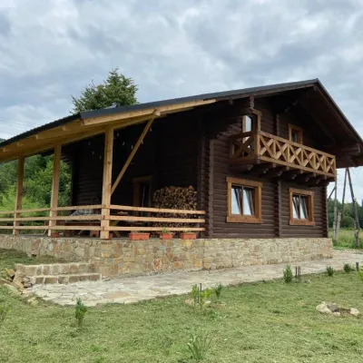 CottageCottage "Ksenija" Ksenija cottage8.9 km from Mount Tymkiv VerkhHot tubBBQKitchenNearby: Kamianka waterfall 3.3 kmLake Zhuravlyne 3.4 km26 trails
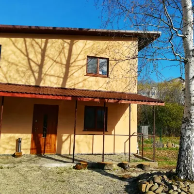 HomesteadGuest House "Pisnya Karpat" Dubyna9.2 km from Mount Tymkiv VerkhBBQKitchenParkingNearby: Kamianka waterfall 3.5 kmLake Zhuravlyne 3.5 km25 trails
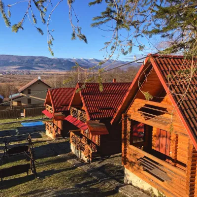 CottageEco-Cottages "Beskydy"14 km from Mount Tymkiv VerkhPoolKitchenPetsNearby: Church of St. George 2.0 kmKamianka waterfall 9.6 km
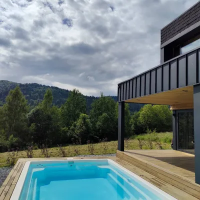 CottageCottage "Zahora"17 km from Mount Tymkiv VerkhModern Cottage "ZAHORA" - a two-story cottage for 5 people. Equipped with everything necessary.Nearby: Lazny waterfall 4.4 kmMuseum of Tustan History 6.6 km
Trails nearby
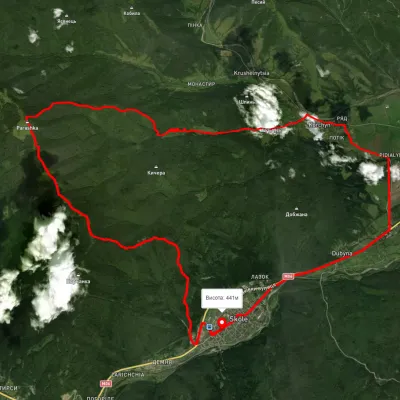 HardMulti-dayUnmarkedSkole loopvia Mount Parashka, Hurkalo Waterfall +1Elevation profile392–1 263 m38.1 kmascent 1 304 m≈ 12 h walkingunder 1 km from Mount Tymkiv Verkh
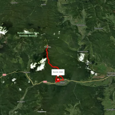 HardTwo-dayUnmarkedSkole loopvia Mount ParashkaElevation profile76–1 257 m20.3 kmascent 1 494 m≈ 8 h walkingunder 1 km from Mount Tymkiv Verkh
 HardTwo-dayUnmarkedSkole to Korchyn villagevia Mount Parashka, Hurkalo WaterfallElevation profile375–1 253 m21.9 kmascent 1 089 m≈ 7.5 h walkingunder 1 km from Mount Tymkiv Verkh
Nearby attractions
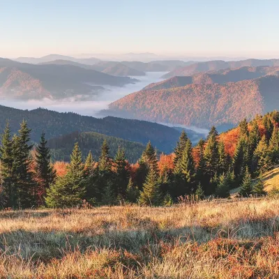 PeakMount Zelenaaltitude 1 217 m · Skole Beskids rangeunder 1 km from Mount Tymkiv VerkhZelena is a 1,217 m summit on the Parashka ridge in the Skole Beskids, Lviv Oblast. It stands in the middle of the crest that leads from Skole to the ridge’s highest...
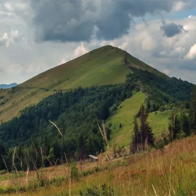 PeakMount Parashkaaltitude 1 268 m · Skole Beskids rangeunder 1 km from Mount Tymkiv Verkh15 trails to the topParashka (also known as Paraska) is the highest mountain of the eponymous ridge located in the Skole Beskydy.
 PeakMount Obroslyi Verkhaltitude 1 177 m · Skole Beskids range1.5 km from Mount Tymkiv VerkhObroslyi Verkh is a 1,177 m summit in the south-eastern part of the Parashka ridge in the Skole Beskids (Lviv Oblast).