Verkhovyna — to Yaremche, via Mount Bila Kobyla, Mount Makovytsia, Dovbush Rocks
Unmarked trailmore
It may be partly marked. Unmarked trails have no information boards, signposts or auxiliary signs (water, campsite, etc.). The decision to walk the trail is entirely your own responsibility.
Trail map
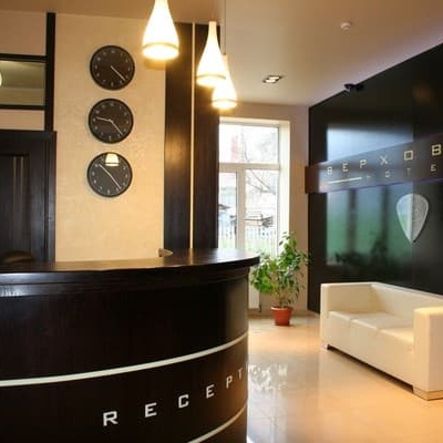
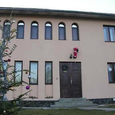
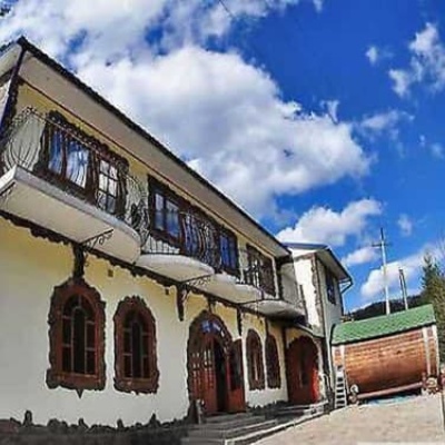
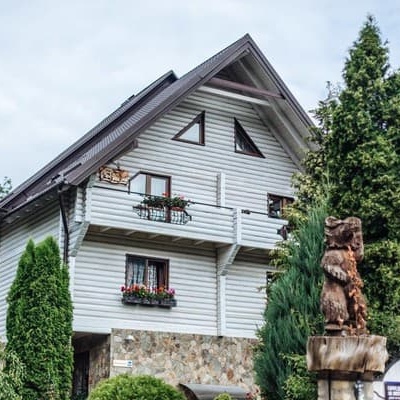
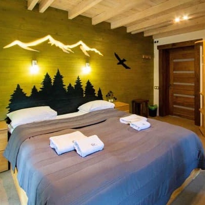
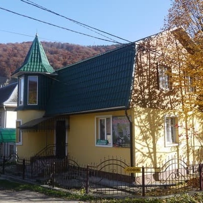
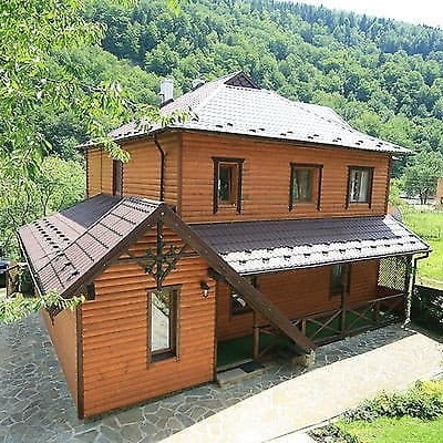
Where to stay nearby
About the trail
Route Verkhovyna, via Mount Bila Kobyla, Mount Makovytsia and Dovbush Rocks to Yaremche. Along the route you will see: Museum of Hutsul life, ethnography and musical instruments by Roman Kumlyk, The Corkscrew Museum - Tasting room, Regional Museum of History and Local Lore of Hutsulshchyna, Verkhovyna, Museum Gallery of Hutsul traditions and rituals, Verkhovyna, Petro Shekerik-Donikovyi Museum, Verkhovyna, Assumption Church, Verkhovyna and 22 more.
At a glance
A multi-day route of 63.8 km with 2,447 m of ascent from Verkhovyna to Yaremche. Estimated time: 3 days of 6–8 h of walking (about 20 h in total, not counting stops). Difficulty: hard. Waymarking is missing or partial.
Route stages
- 0–9 kmClimb of 860 m to Mount Bila Kobyla (1,477 m)
- 9–13 kmDescent of 210 m to Hut below Mount Bubenska
- 13–26 kmGentle ups and downs at 1,250–1,470 m, past Mount Munchelyk
- 26–29 kmDescent of 320 m (down to 1,144 m)
- 29–57 kmGentle ups and downs at 910–1,160 m
- 57–64 kmDescent of 450 m to Yaremche
Steepest kilometre: km 8–9, a climb of 430 m (≈41%), near Mount Bila Kobyla.
Water and overnight stays
Springs near the trail: at km 6, 8, 10, 13, 14, 15, 16, 19, 22 and 23 etc.. There are no springs between km 43 and 52 — carry at least 1.5 l of water. Some springs run low or dry up in late summer.
Huts and shelters near the trail: Hut below Mount Bubenska (2) (km 14), Hut below Mount Vesnarka (km 15), Mountain shelter on Polonyna Kramy (km 17), Hut below Mount Rotylo (km 19), Hut on Polonyna Munchelyk (km 23), Hut “Foresters' Cabin” (km 23), Hut on Polonyna Pozheratul (km 23), Hut on Polonyna Ledeskul (2) (km 28) etc.. Places to stay near the start: Verkhovyna; near the finish: Yaremche.
A possible split into days:
- Day 1: km 0–17, ≈6.5 h — overnight: Mountain shelter on Polonyna Kramy (hut)
- Day 2: km 17–42, ≈7.5 h — overnight: Hut below Mount Mala-Rokyta (hut)
- Day 3: km 42–64, ≈6.5 h — finish
When to go
Best time: May to October. In winter deep snow is possible, so experience and winter gear are needed.
Getting there
Start: Verkhovyna. This is a one-way route: the finish is 39 km from the start in a straight line, so plan your way back in advance.
FAQ
- How long does the route take?
- Estimated time: 3 days of 6–8 h of walking (about 20 h in total, not counting stops).
- Is there water on the route?
- Springs near the trail: at km 6, 8, 10, 13, 14, 15, 16, 19, 22 and 23 etc.. There are no springs between km 43 and 52 — carry at least 1.5 l of water. Some springs run low or dry up in late summer.
- Where can I stay overnight?
- Huts and shelters near the trail: Hut below Mount Bubenska (2) (km 14), Hut below Mount Vesnarka (km 15), Mountain shelter on Polonyna Kramy (km 17), Hut below Mount Rotylo (km 19), Hut on Polonyna Munchelyk (km 23), Hut “Foresters' Cabin” (km 23), Hut on Polonyna Pozheratul (km 23), Hut on Polonyna Ledeskul (2) (km 28) etc.. Places to stay near the start: Verkhovyna; near the finish: Yaremche. Possible overnight stops: Mountain shelter on Polonyna Kramy (km 17), Hut below Mount Mala-Rokyta (km 42).
Water and shelter on the route
- Spring below Mount Bila Kobyla (8)km 6.1 from the start · Not verified · 898 m
- Spring below Mount Bila Kobyla (6)km 8 from the start · 80 m off the path · Not verified · 1 138 m
- Spring below Mount Bila Kobyla (5)km 9.7 from the start · 280 m off the path · Not verified · 1 322 m
- Spring below Mount Bila Kobyla (4)km 12 from the start · Not verified · 1 318 m
- Spring below Mount Bubenska (5)km 12.7 from the start · Not verified · 1 276 m
- Hut below Mount Bubenska (2)km 13.2 from the start · Not verified · 1 269 m
- Spring (Volova, 12)km 13.3 from the start · 80 m off the path · Not verified · 1 262 m
- Hut below Mount Vesnarkakm 14.6 from the start · 170 m off the path · Standing · 1 263 m
- Spring below Mount Hrehit (4)km 14.6 from the start · 190 m off the path · Not verified · 1 256 m
- Spring below Mount Hrehit (5)km 15.8 from the start · Not verified · 1 283 m
- Spring below Mount Hrehit (3)km 16.3 from the start · 100 m off the path · Not verified · 1 313 m
- Mountain shelter on Polonyna Kramykm 16.3 from the start · 80 m off the path · Standing · 1 288 m
- Spring below Mount Rotylo (5)km 18.2 from the start · 300 m off the path · Not verified · 1 392 m
- Spring below Mount Rotylo (4)km 18.7 from the start · 60 m off the path · Not verified · 1 359 m
- Hut below Mount Rotylokm 18.7 from the start · Poor condition · 1 366 m
- Spring (Volova, 10)km 21.2 from the start · 220 m off the path · Not verified · 1 291 m
- Spring (Volova, 8)km 21.7 from the start · Not verified · 1 285 m
- Hut on Polonyna Munchelykkm 21.7 from the start · Not verified · 1 284 m
- Hut “Foresters' Cabin”km 22 from the start · 50 m off the path · Not verified · 1 300 m
- Spring below Mount Khorde (17)km 22.1 from the start · 120 m off the path · Not verified · 1 314 m
- Hut on Polonyna Pozheratulkm 22.6 from the start · 40 m off the path · Not verified · 1 312 m
- Spring (Volova, 7)km 22.6 from the start · 90 m off the path · Not verified · 1 303 m
- Spring (Volova, 9)km 23.4 from the start · 120 m off the path · Not verified · 1 366 m
- Spring (Kosmach, 2)km 25.7 from the start · 230 m off the path · Not verified · 1 308 m
- Spring (Kosmach, 3)km 26.4 from the start · 230 m off the path · Not verified · 1 255 m
- Hut on Polonyna Ledeskul (2)km 26.7 from the start · 110 m off the path · Not verified · 1 223 m
- Spring (Kosmach, 4)km 28 from the start · 120 m off the path · Not verified · 1 075 m
- Spring (Akreshory, 2)km 32.1 from the start · Not verified · 1 036 m
- Spring (Akreshory)km 32.9 from the start · 190 m off the path · Not verified · 1 023 m
- Spring (Vyzhnii Bereziv, 4)km 34.2 from the start · Not verified · 1 066 m
- Hut at Velyke Pryhodyshchekm 34.3 from the start · 180 m off the path · Standing · 1 081 m
- Spring (Vyzhnii Bereziv)km 37.1 from the start · Not verified · 1 002 m
- Hut below Mount Mala-Rokytakm 40 from the start · 210 m off the path · Not verified · 1 060 m
- Spring (Liuchky, 4)km 41.3 from the start · Not verified · 1 032 m
- Spring (Liuchky, 5)km 41.8 from the start · Not verified · 1 032 m
- Hut on Mount Roketakm 43.9 from the start · Not verified · 1 099 m
- Spring (Mykulychyn, 25)km 50.4 from the start · Not verified · 957 m
- Spring below Mount Makovytsia (10)km 54.2 from the start · 220 m off the path · Not verified · 909 m
Comments
What to see on the trail
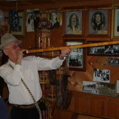 Museum of Hutsul life, ethnography and musical instruments by Roman Kumlykaltitude 610 mThe Roman Kumlyk Museum of Hutsul Life, Ethnography, and Musical Instruments is a private museum in the village of Verkhovyna, Ivano-Frankivsk region.
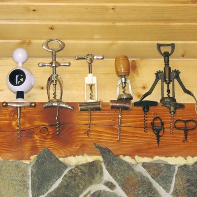 The Corkscrew Museum - Tasting roomaltitude 610 mThe CorkscrewMuseum - Tasting Room is an ideal place for lovers of homemade young wine and houses about 600 corkscrews of various types.
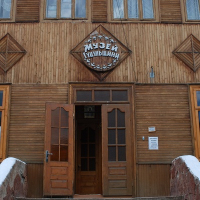 Regional Museum of History and Local Lore of Hutsulshchyna, Verkhovynaaltitude 610 mThe idea of creating a historical and local history museum of the Hutsul region belongs to the famous Hutsul socio-political figure, military...
 Museum Gallery of Hutsul traditions and rituals, Verkhovynaaltitude 610 mTheGallery of Hutsul Traditions and Rituals Museum is a private museum in Verkhovyna dedicated to the preservation of Hutsul traditions and rituals.
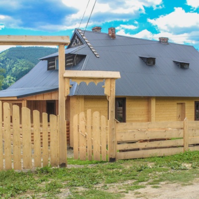 Petro Shekerik-Donikovyi Museum, Verkhovynaaltitude 610 mPetro Shekerik-Donikiv was a famous patriot of the Hutsul region, a governor of Verkhovyna in the 1930s, an ambassador to the Polish Sejm, and an...
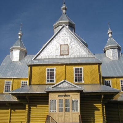 Assumption Church, Verkhovynaaltitude 610 mVerkhovyna, an urban-type settlement in Ivano-Frankivsk region, is famous for its amazing nature, a large number of architectural monuments, unique...
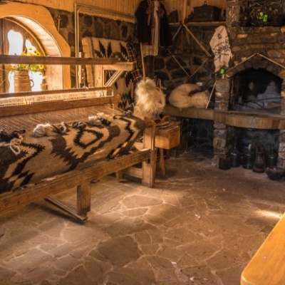 Museum of quilt-making, Verkhovyna.altitude 610 mTo preserve, revive, and popularize Hutsul home-woven woolen blankets (bedspreads), a museum was created in Verkhovyna, where you can learn about...
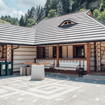 Museum of the Oleksa Dovbush movie, Verkhovynaaltitude 610 m"Oleksa Dovbush is a feature film directed by Viktor Ivanov and produced by the Dovzhenko Film Studio in 1959 about the leader of the Oprishky.
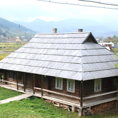 House-museum of the movie "Shadows of Forgotten Ancestors", Verkhovynaaltitude 610 mThe museum was founded and opened in 2000 in the Hutsul hut of Petro and Yevdokiya Soriuks, where the famous film director Sergei Parajanov lived...
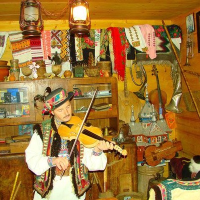 Museum of Hutsul Life and Art "At the Trembitard", Verkhovynaaltitude 610 mAt the Museum of Hutsul Life and Art "At the Trembitard" in the Verkhovyna village of Shveykovo, you will learn about the origin of the Hutsuls,...
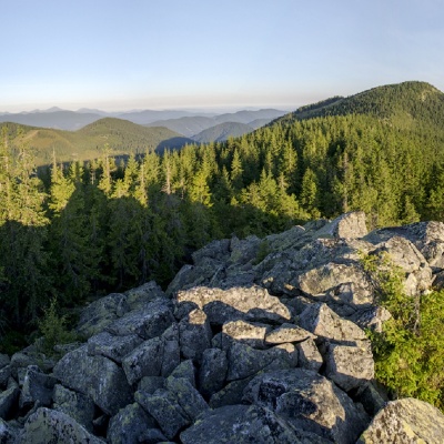 Mount Bila Kobylaaltitude 1 477 mMount Bila Kobyla is a peak in the Ukrainian Carpathians, which is located within the Pokutsko-Bukovyna mountain range.
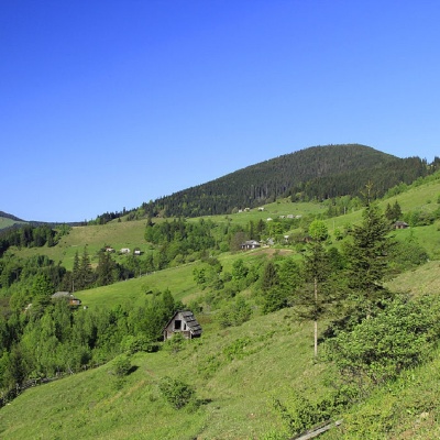 Mount Gregitaltitude 1 472 mMount Gregit is a 1472-meter peak in the Ukrainian Carpathians, which lies within the Pokutsko-Bukovyna Carpathians.
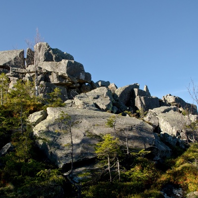 Mount Rotiloaltitude 1 483 mRotylo is a peak in the Ukrainian Carpathians, the highest mountain of the Pokutsko-Bukovyna mountain range.
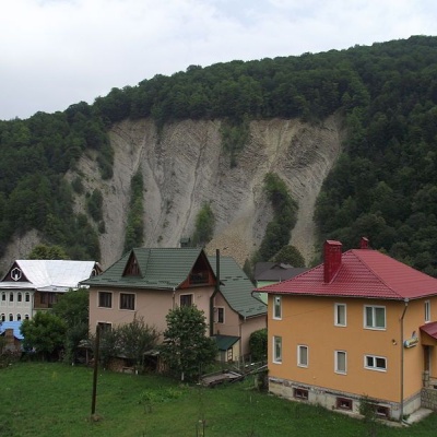 Elephant Rock, Yaremchealtitude 539 mThe ElephantRock belongs to the Gorgany mountain system. It is located on the Prut River to the east of the central part of Yaremche. ...
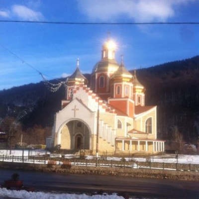 Church of the Nativity of John the Baptist, Yaremchealtitude 539 mIn the center of the resort town of Yaremche, the Church of the Nativity of John the Baptist shines majestically with its gilded domes.
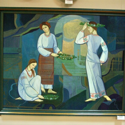 Museum of Ecology and Ethnography of the Carpathian Region, Yaremchealtitude 539 mThe Museum of Ethnography and Ecology was founded quite recently, but it has already won the sympathy of local Yaremche residents and tourists who...
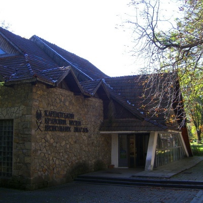 Carpathian Regional Museum of the Liberation Movementaltitude 539 mThe museum was founded in 1963 and was then called the Museum of Partisan Glory. Initially, it was an ordinary building, but later, in August 1968,...
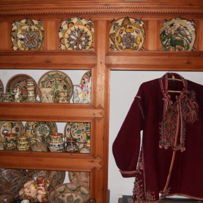 Ukrainian Antiquities Museum, Yaremchealtitude 539 mThe truly unique exposition collected in the funds of the Ethnographic Museum "Ukrainian Antiquity" recreates the daily life of the Boyky, Lemkos,...
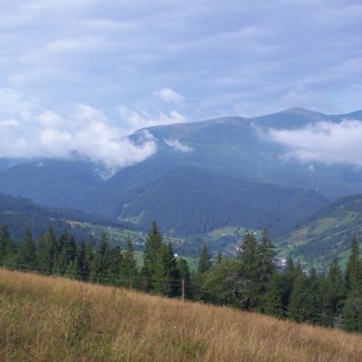 Carpathian National Nature Parkaltitude 539 mThe Carpathian National Nature Park is located on the territory of Yaremche City Council and Verkhovyna district of Ivano-Frankivsk region.
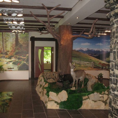 Ecotourism visit center, Yaremchealtitude 539 mThe Ecotourism Visitor Center in Yaremcheis one of the best and most unique tourist information centers in Ukraine.
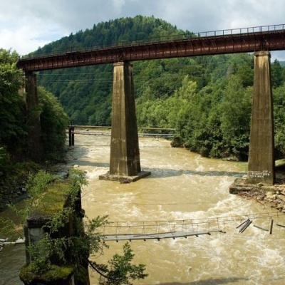 Bridge over the Prut River, Yaremchealtitude 539 mToday, the town can be reached by car or bus, and at the beginning of the last century, there was a railway bridge here. ...
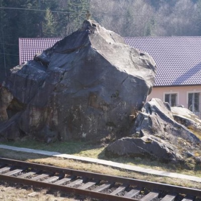 Dovbush's stone, Yaremchealtitude 539 mOleksa Dovbush has been famous for centuries. Songs and legends were composed about him.
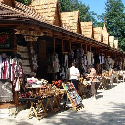 Hutsul souvenir market, Yaremchealtitude 539 mYaremche is undoubtedly the center of Hutsul crafts, and everyone knows it. The Hutsuls are an ancient and at the same time interesting ethnic...
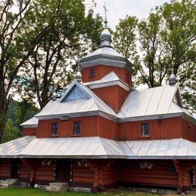 Church of St. John the Baptist, Yaremchealtitude 539 mIn the vicinity of the city of Yaremche is the Church of St. John the Merciful, built back in 1663, in the village of Yamna, and is an unsurpassed...
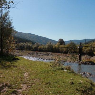 Glade of Love, Yaremchealtitude 539 mThe Carpathians never cease to amaze both beginners who first plunged into the magical world of these mountains and experienced tourists, because...
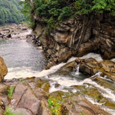 Probiy waterfall, Yaremchealtitude 529 mProbiy Waterfall is located in the heart of the Carpathian Mountains, in the city of Yaremche.
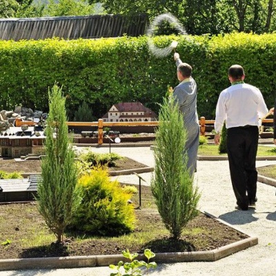 Park-museum Carpathians in miniature, Yaremchealtitude 539 mA unique park-museum "Carpathians in Miniature" was created in Yaremche, which reflects in detail the architectural monuments and cultural heritage...
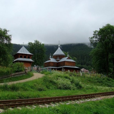 Church of the Assumption of the Blessed Virgin Mary, Yaremchealtitude 539 mThe city of Yaremche was first mentioned in written records in 1787. According to one of the legends, the name of the city comes from the name of...
Trails nearby
All trails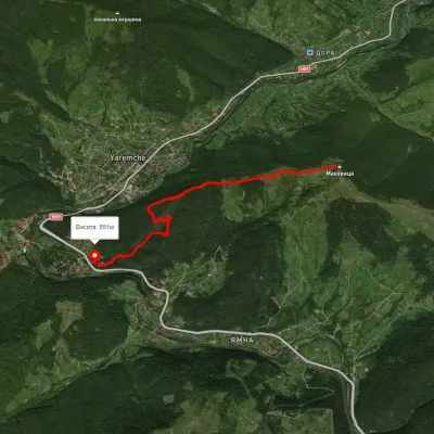 EasyOne-dayMarkedYaremche Mount MakovytsiaElevation profile537–950 m5.1 kmascent 211 m≈ 1.5 h walking
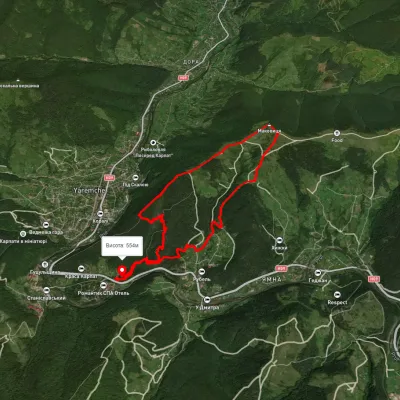 ModerateOne-dayUnmarkedYaremche loopvia Dovbush Rocks, Mount MakovytsiaElevation profile547–980 m10.4 kmascent 575 m≈ 4 h walking
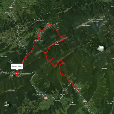 HardMulti-dayUnmarkedYaremche to Tatariv villagevia the Yavirnyk ridge, Zhenetskyi Huk Waterfall +4Elevation profile510–1 658 m46.8 kmascent 2 435 m