Yaremcheloop, via Dovbush Rocks, Mount Makovytsia
Unmarked trailmore
It may be partly marked. Unmarked trails have no information boards, signposts or auxiliary signs (water, campsite, etc.). The decision to walk the trail is entirely your own responsibility.
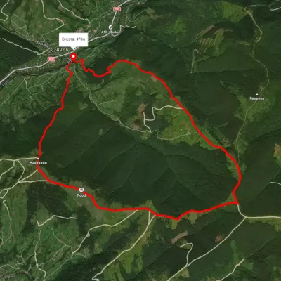
Trail map
Where to stay nearby
About the trail
Route Yaremche, via Dovbush Rocks and Mount Makovytsia to Yaremche. Along the route you will see: Bridge over the Prut River, Yaremche, Dovbush's stone, Yaremche, Glade of Love, Yaremche, Ukrainian Antiquities Museum, Yaremche, Hutsul souvenir market, Yaremche, Church of St. John the Baptist, Yaremche and 6 more.
At a glance
A one-day loop route of 10.4 km with 575 m of ascent, starting and finishing at Yaremche. Estimated walking time: about 3.5 h, not counting stops. Difficulty: moderate. Waymarking is missing or partial.
Route stages
- 0–3 kmClimb of 290 m to Dovbush trail in Yaremche
- 3–6 kmGentle ups and downs at 830–980 m, past Mount Makovytsia
- 6–8 kmDescent of 370 m (down to 603 m)
- 8–10 kmGentle ups and downs at 560–610 m
Steepest kilometre: km 6–7, a descent of 200 m (≈17%), near Mount Makovytsia.
Water and overnight stays
Springs near the trail: at km 5 and 9.
Places to stay near the start: Yaremche.
When to go
The route can be walked most of the year; it is most comfortable from April to October.
Getting there
Start: Yaremche. This is a loop: it brings you back to the start.
FAQ
- How long does the route take?
- Estimated walking time: about 3.5 h, not counting stops.
- Is there water on the route?
- Springs near the trail: at km 5 and 9.
- Where can I stay overnight?
- Places to stay near the start: Yaremche.
Water and shelter on the route
- Spring below Mount Makovytsia (8)km 4.6 from the start · 80 m off the path · Not verified · 877 m
- Spring below Mount Makovytsia (10)km 5.3 from the start · 80 m off the path · Not verified · 909 m
- Spring below Mount Makovytsia (5)km 7.7 from the start · Not verified · 585 m
Comments
What to see on the trail
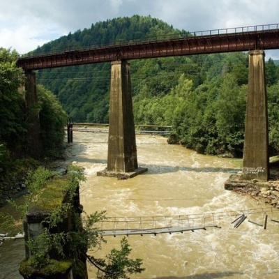 Bridge over the Prut River, Yaremchealtitude 539 mToday, the town can be reached by car or bus, and at the beginning of the last century, there was a railway bridge here. ...
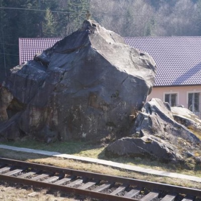 Dovbush's stone, Yaremchealtitude 539 mOleksa Dovbush has been famous for centuries. Songs and legends were composed about him.
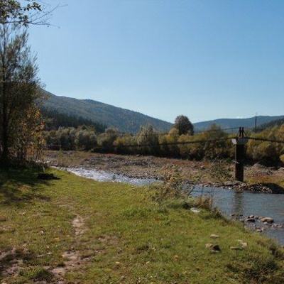 Glade of Love, Yaremchealtitude 539 mThe Carpathians never cease to amaze both beginners who first plunged into the magical world of these mountains and experienced tourists, because...
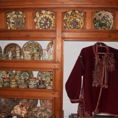 Ukrainian Antiquities Museum, Yaremchealtitude 539 mThe truly unique exposition collected in the funds of the Ethnographic Museum "Ukrainian Antiquity" recreates the daily life of the Boyky, Lemkos,...
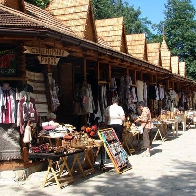 Hutsul souvenir market, Yaremchealtitude 539 mYaremche is undoubtedly the center of Hutsul crafts, and everyone knows it. The Hutsuls are an ancient and at the same time interesting ethnic...
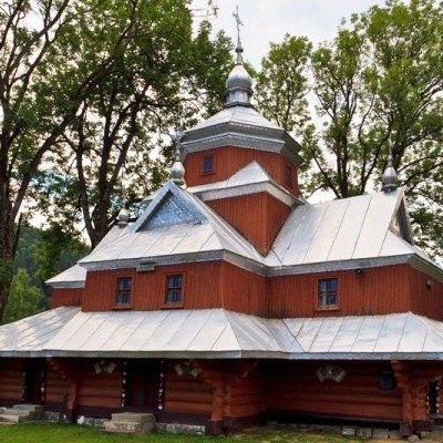 Church of St. John the Baptist, Yaremchealtitude 539 mIn the vicinity of the city of Yaremche is the Church of St. John the Merciful, built back in 1663, in the village of Yamna, and is an unsurpassed...
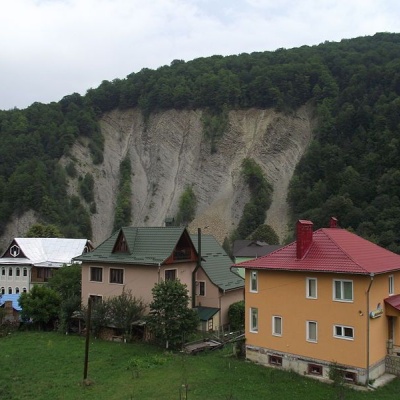 Elephant Rock, Yaremchealtitude 539 mThe ElephantRock belongs to the Gorgany mountain system. It is located on the Prut River to the east of the central part of Yaremche. ...
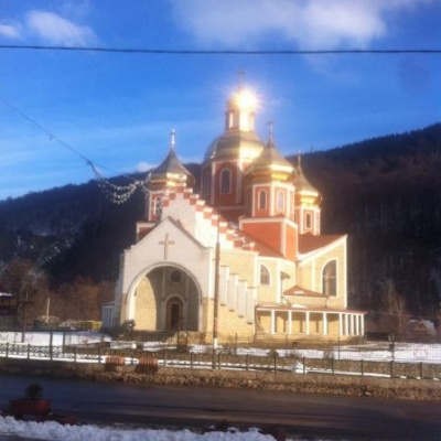 Church of the Nativity of John the Baptist, Yaremchealtitude 539 mIn the center of the resort town of Yaremche, the Church of the Nativity of John the Baptist shines majestically with its gilded domes.
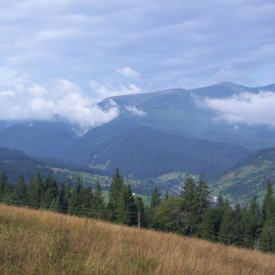 Carpathian National Nature Parkaltitude 539 mThe Carpathian National Nature Park is located on the territory of Yaremche City Council and Verkhovyna district of Ivano-Frankivsk region.
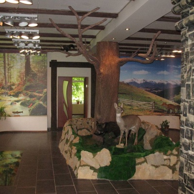 Ecotourism visit center, Yaremchealtitude 539 mThe Ecotourism Visitor Center in Yaremcheis one of the best and most unique tourist information centers in Ukraine.
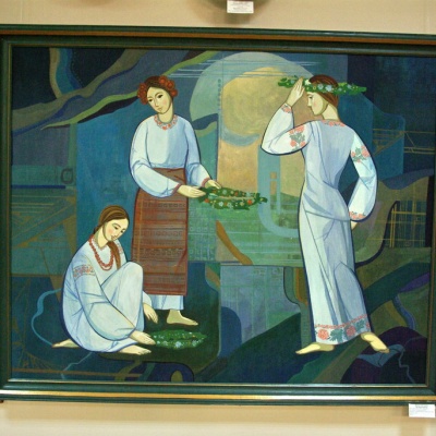 Museum of Ecology and Ethnography of the Carpathian Region, Yaremchealtitude 539 mThe Museum of Ethnography and Ecology was founded quite recently, but it has already won the sympathy of local Yaremche residents and tourists who...
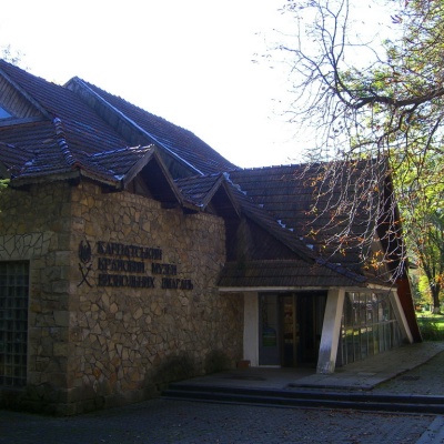 Carpathian Regional Museum of the Liberation Movementaltitude 539 mThe museum was founded in 1963 and was then called the Museum of Partisan Glory. Initially, it was an ordinary building, but later, in August 1968,...
Trails nearby
All trails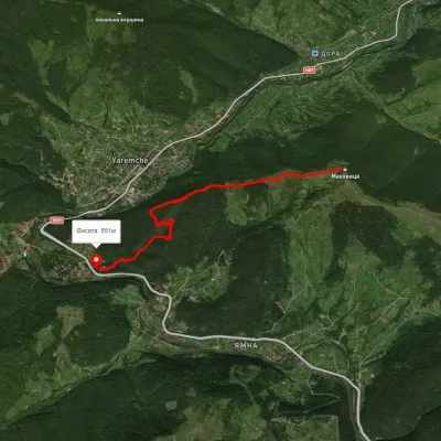 EasyOne-dayMarkedYaremche Mount MakovytsiaElevation profile537–950 m5.1 kmascent 211 m≈ 1.5 h walking
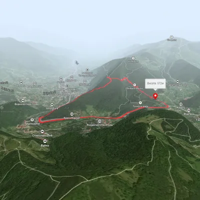 EasyOne-dayUnmarkedYaremche loopvia Dovbush RocksElevation profile545–743 m7.1 kmascent 231 m≈ 2 h walking
 ModerateOne-dayMarkedDora loopvia Mount Makovytsia, Mount Staiky +1Elevation profile471–1 000 m13.2 kmascent 797 m≈ 5 h walking