Stemless carline thistle
About
The Stemless carline thistle is one of the most characteristic plants of the mountain meadows of Europe: from the Pyrenees and the Alps to the Balkans and the Carpathians. In the Ukrainian Carpathians, it can be found in the Beskids, Gorgany, on Świdowiec, Chornohora, in the Chivchyny, Hrynyavsky mountains, and the Maramureș massif. It grows in dry meadows, rocky slopes, and forest clearings in the forest and subalpine zones, at altitudes of approximately 500–1500 m.
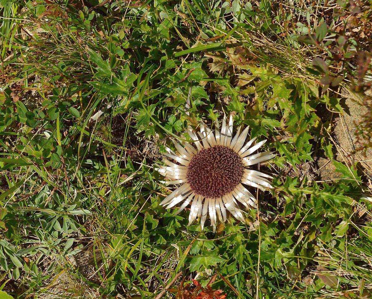
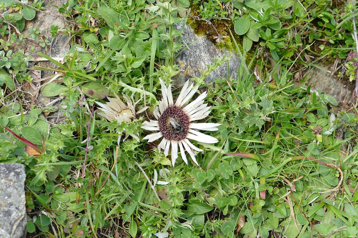
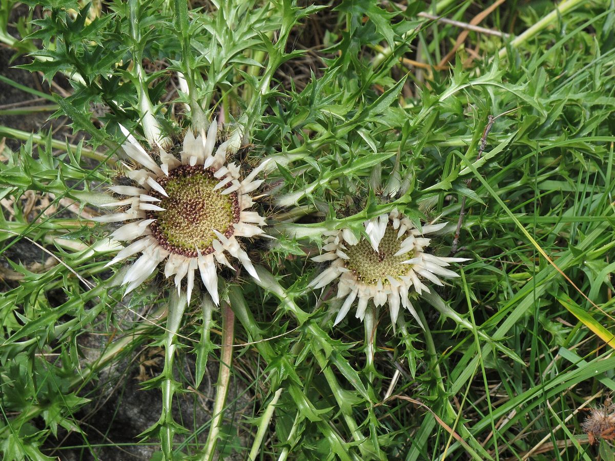
The plant has almost no stem: a large flower head up to 10 cm in diameter sits directly in the center of a ground rosette about 20 cm wide. The leaves are deeply pinnatifid, with spines. What appears to be petals are actually the inner bracts, shiny, silvery or yellowish-white, and in the center of the flower head are small tubular flowers of a brownish-yellow color. It blooms from July to September.
The silvery 'petals' respond to humidity: in humid weather and before rain, the flower head closes, protecting the pollen, while in dry sunny weather, it opens. Therefore, the Stemless carline thistle is often called a natural barometer: it can predict whether it will rain.
The Stemless carline thistle is not listed in the Red Book of Ukraine, although two other species of the genus, the spiny carline thistle and the thistle-leaved carline, are included. In Poland, it is partially protected. However, the root of the plant has long been harvested, and without the root, the rosette dies, so it is better to admire and photograph the Stemless carline thistle along the route, especially in reserves and national parks where picking plants is prohibited.
Where in the Carpathians

The map shows where naturalists recorded the species (GBIF, CC0 and CC BY records), not every place it lives. The Ukrainian Carpathians are less studied, so a blank area does not mean the species is absent.
- Countries
- Slovakia · Czechia · Poland · Ukraine · Romania · Hungary · Austria
- Mountain ranges
- Greater Fatra, Lesser Fatra, Strážov Mountains, Low Tatras, Slovak Ore Mountains, Kysuce Beskids, White Carpathians, Slovak Central Mountains, Slovak Paradise, Volovec Mountains
- Altitude belts
- Foothills (below 600 m) · Beech forests (600–1200 m) · Conifer forests (1200–1600 m)
When to see it
| Jan | Feb | Mar | Apr | May | Jun | Jul | Aug | Sep | Oct | Nov | Dec | |
|---|---|---|---|---|---|---|---|---|---|---|---|---|
| Flowering | ||||||||||||
| Fruit |
From naturalists’ observations in the Carpathians (iNaturalist, research grade): the darker the cell, the more often the species is seen that month.
Safety
The leaves are spiny — do not touch the rosette with bare hands.
Protection and rules
Not listed in the Red Book of Ukraine; partially protected in Poland. In reserves and protected areas of national parks, picking plants is prohibited — better to admire them.
FAQ
Why is the Stemless carline thistle called a barometer?
Its silvery bracts respond to humidity: before rain and in humid weather, the flower head closes, while in dry sunny weather, it opens.
Is the Stemless carline thistle listed in the Red Book?
No, it is not in the current list from 2021; only the spiny carline thistle and the thistle-leaved carline are included. In Poland, the Stemless carline thistle is partially protected.
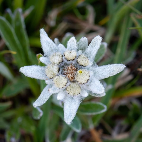
Similar species
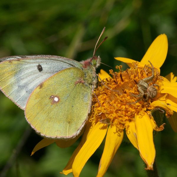
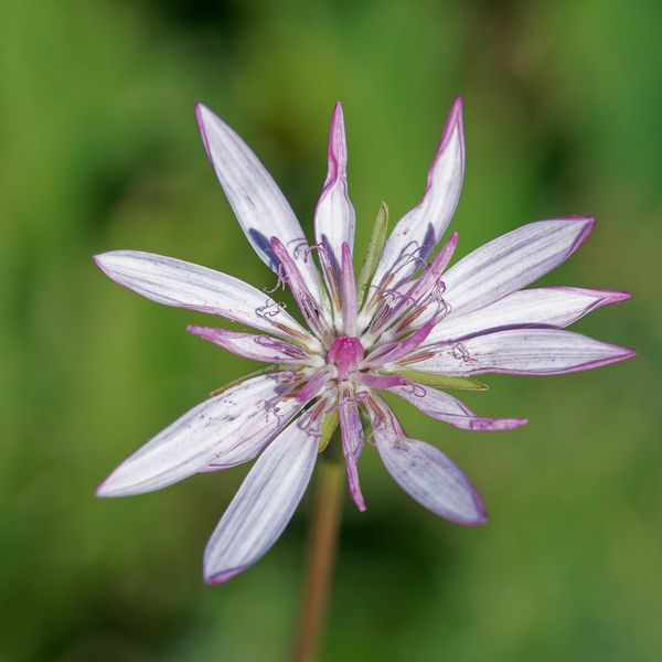
Where to meet it
Trails
 ModerateTwo-dayMarkedLybokhory village loopvia Mount MahuraElevation profile580–1 363 m18.4 kmascent 781 m≈ 6 h walking
 HardTwo-dayKrasnyk village to Zelene villagevia the Krynta–Skupova ridgeElevation profile675–1 398 m23.1 kmascent 890 m≈ 7.5 h walking
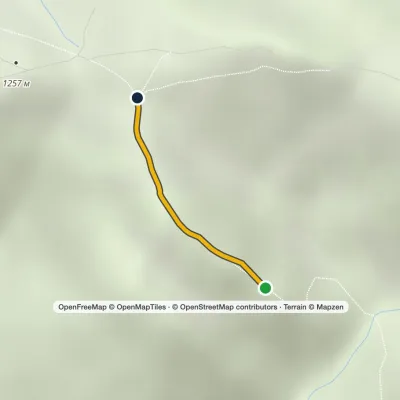 EasyOne-dayMarkedHungarian RocksElevation profile1 175–1 258 m0.6 kmascent 83 m≈ 15 min walking
Peaks and meadows
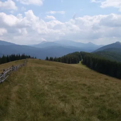 PeakMount Ploska, BystrytsiaBystrytsiaaltitude 1 353 m · Gorgany rangePloska is a mountain in the Gorgany massif (Ukrainian Carpathians). It is located within Nadvirna district of Ivano...
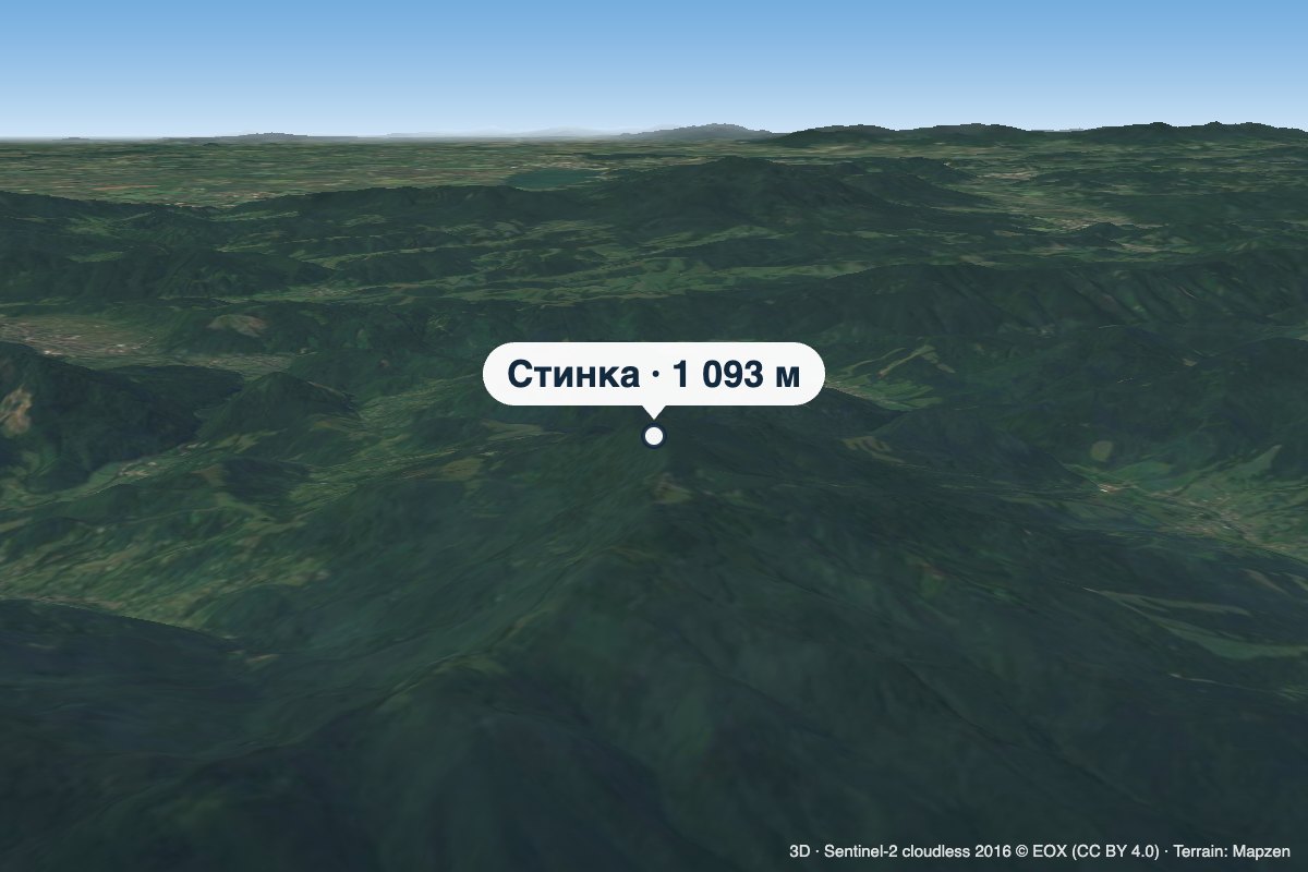 PeakMount StynkaKniahyniaaltitude 1 093 mStynka (Slovak: Stinská) is a 1,093 m mountain on the state border between Ukraine and Slovakia, in the Bukovské...
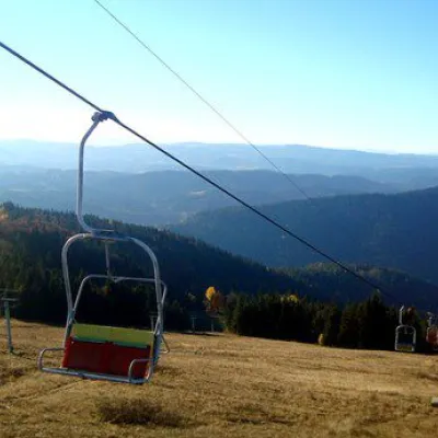 PeakMount Vysokyi Verkh, VolosyankaVolosiankaaltitude 1 242 m · Skole Beskids range2 trails to the topVysokyi Verkh is a mountain in the Ukrainian Carpathians, in the Skole Beskydy massif.
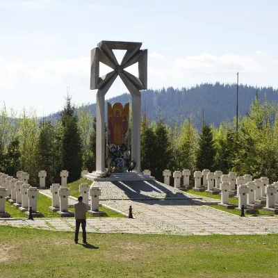 PeakMount MakivkaSlavskealtitude 958 m2 trails to the topMakivka is a mountain in the High Beskid about 8 km north of the town of Slavske in Lviv Oblast.
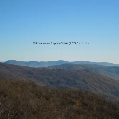 PeakMount Vitrova-SkalaMyrchaaltitude 1 025 m · Volcanic Carpathians rangeVitrova-Skala (Slovak: Vetrová skala) is a 1,025 m (more precisely 1,024.5 m) mountain in the volcanic Vihorlat massif.
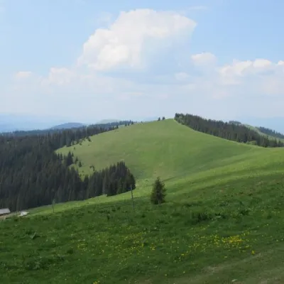 PeakMount DovhaPolianytsia (Bukovel)altitude 1 371 m · Gorgany range5 trails to the topDovha is a mountain in the Gorgany massif(Ukrainian Carpathians). It is located in the southern part of the Nadvirna...
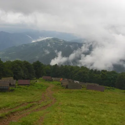 Mountain meadow1 350 mPolonyna BrailkaKvasyPolonyna Brailka (in some sources and on our site also Braivka) is a mountain pasture on the south-eastern slopes of...
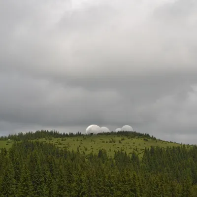 Mountain meadow1 565 mMount Tomnatyk (Yalovychory)SarataTomnatyk is a 1,565 m mountain in the Yalovychory Mountains, on the Tomnatykul ridge.
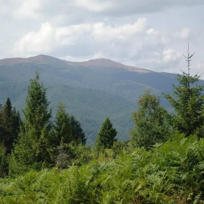 Mountain meadow1 400 mPolonyna Rivna (Runa)LumshoryPolonyna Rivna, more often called Runa in Zakarpattia (in the local dialect "runa" means exactly "flat"), is a broad,...
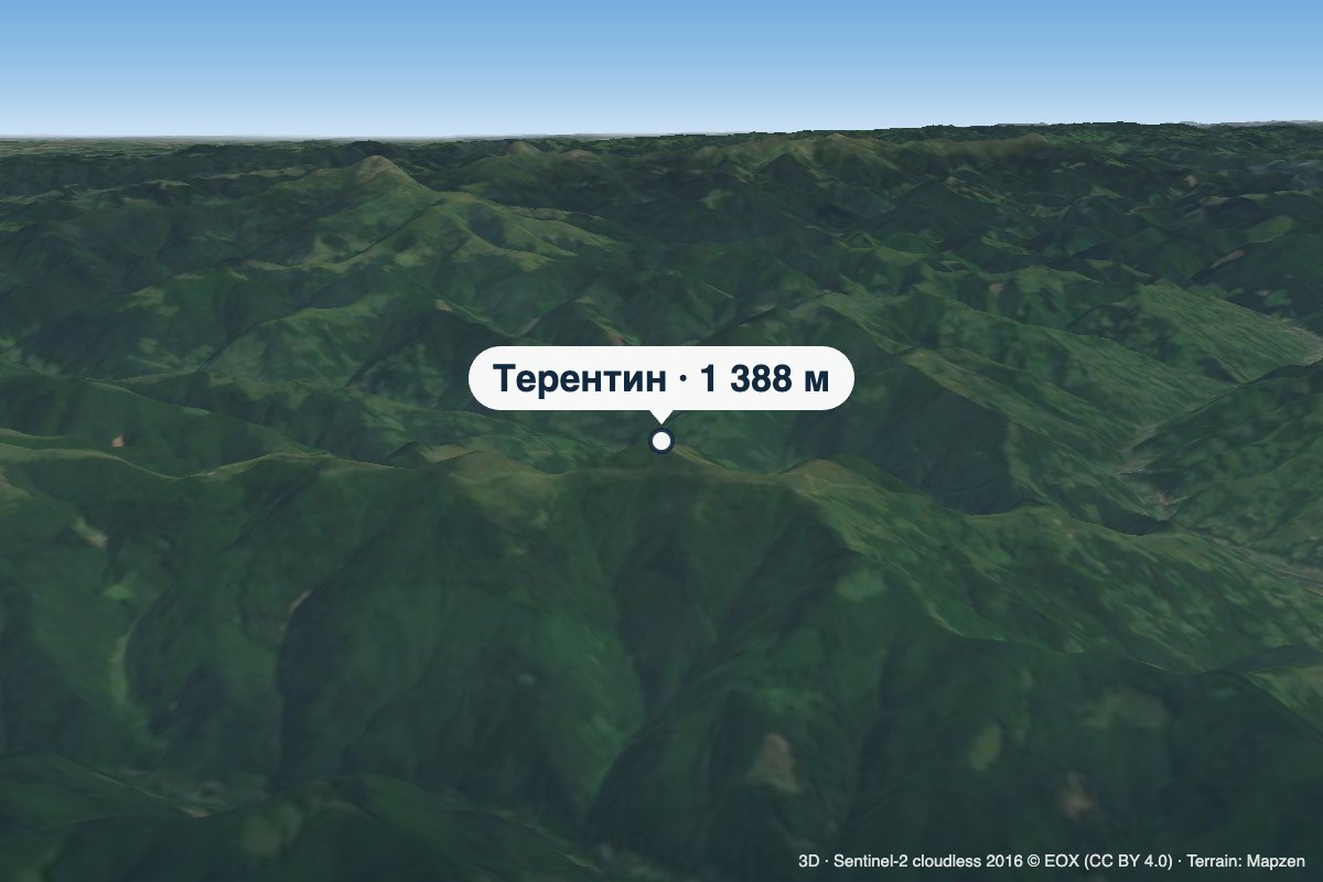 PeakMount TerentynBilynaltitude 1 388 m · Svydovets rangeTerentyn is a 1,388 m summit in the south-western part of the Svydovets range, in the Rakhiv district of Zakarpattia...
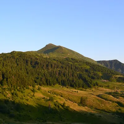 Mountain meadow1 477 mPolonyna LysychaDiloveThe Lysycha valley is located on the Marmoroska ridge of the Carpathians.
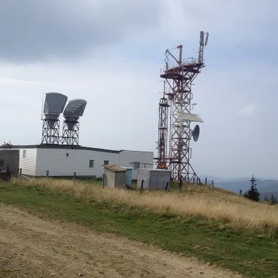 PeakMount PlaiVolovetsaltitude 1 323 m · Borzhava rangePlai is a 1,323 m mountain in the Polonyna Borzhava massif (Polonynskyi Ridge), in the Mukachevo district of...
Waters and waterfalls
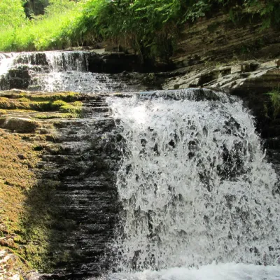 WaterfallSukil WaterfallsSukilNear the village of Sukil in the Bohorodchany urban hromada, the Sukil Waterfalls are truly a paradise for tourists...
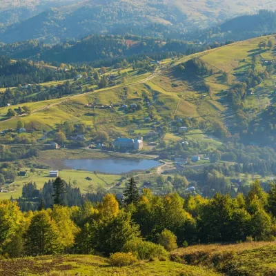 LakeLake Bukovets (Bukovetsky Pass)BukovetsThe large lake Bukivets is located on the border of Kosiv and Verkhovyna districts.
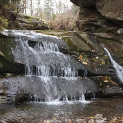 WaterfallBukovets-Bezulkivskyi Huk waterfall (Ternoshorsky)YavorivTernoshorsky Huk is a waterfall in the Ukrainian Carpathians (in the Pokutsko-Bukovyna Carpathians).
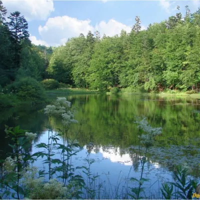 LakeMountain Polyanytske Lake (Dead Lake)BukovetsMountain Lake (another name - Dead Lake) is a picturesque mountain lake of natural origin in the Ukrainian...
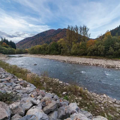 RiverTeresva RiverUst-ChornaThe Teresva forms in Ust-Chorna, where the Mokrianka and Brusturianka meet, and flows south through Dubove, Kalyny,...
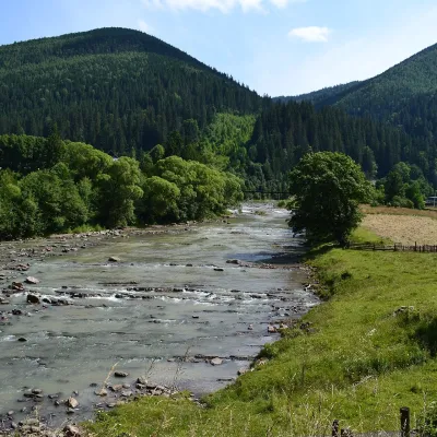 RiverChorna Tysa RiverYasinyaThe Chorna Tysa is a mountain river in eastern Zakarpattia. It rises on the northern spurs of the Svydovets massif...
Mountain ranges: In other countries: 🇸🇰 Greater Fatra, 🇸🇰 Lesser Fatra, 🇸🇰 Strážov Mountains, 🇸🇰 Low Tatras, 🇸🇰 Slovak Ore Mountains, 🇸🇰 Kysuce Beskids, 🇨🇿 White Carpathians, 🇸🇰 Slovak Central Mountains, 🇸🇰 Slovak Paradise, 🇸🇰 Volovec Mountains, 🇸🇰 Javorníky, 🇸🇰 Kremnica Mountains, 🇨🇿 Moravian-Silesian Beskids, 🇸🇰 Štiavnica Mountains
Trails and peaks near which naturalists recorded the species (GBIF, iNaturalist), matched by altitude and habitat. Sightings are not guaranteed.
Sources
- Вікіпедія: Дев'ятисил безстеблий
- Wikipedia (en): Carlina acaulis
- Наказ Міндовкілля від 15.02.2021 № 111: Перелік видів рослин та грибів, що заносяться до Червоної книги України
- GBIF: список рослин і грибів Червоної книги України за наказом № 111 (з категоріями)
- Наказ № 111, додаток 2: Перелік видів рослин та грибів, що виключені з Червоної книги України (зареєстровано в Мін'юсті за № 371/35993)
- Rozporządzenie Ministra Środowiska z 9.10.2014 w sprawie ochrony gatunkowej roślin, Dz.U. 2014 poz. 1409 (Польща)
- iNaturalist: Carlina acaulis (спостереження в Карпатах)
GBIF · iNaturalist · Wikidata · Distribution data: GBIF.org (CC0 and CC BY records), iNaturalist; names and identifiers: Wikidata (CC0). Text: Karpaty.rocks, checked 09.11.2026.
